Wilcox is a census-designated place located in Jones Township, Elk County, Pennsylvania, United States. The community was named after a settler, Col. A.I. Wilcox. As of the 2010 census, Wilcox had a population of 383.
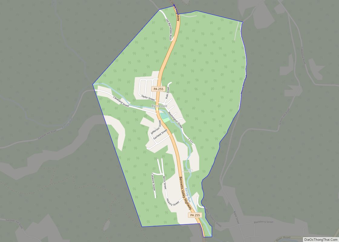
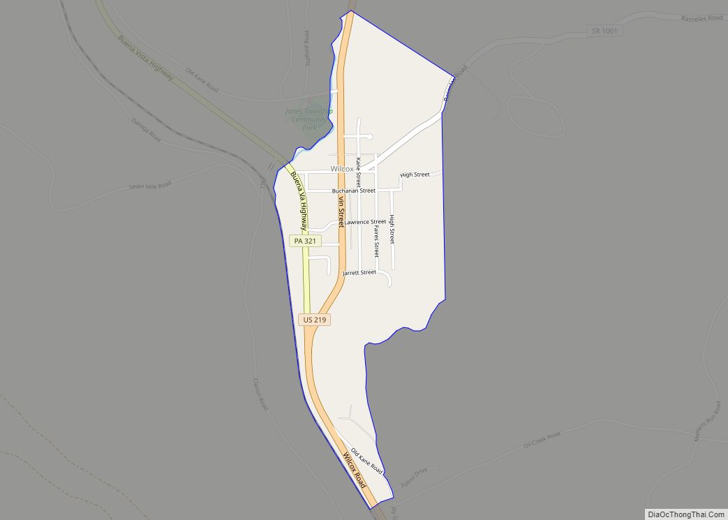
Wilcox is located in the west-central part of Jones Township in northern Elk County, in the valley of the West Branch of the Clarion River, a tributary of the Allegheny River. U.S. Route 219 passes through the center of town, leading north 29 miles (47 km) to Bradford and south 14 miles (23 km) to Ridgway, the Elk County seat. Pennsylvania Route 321 leads northwest from Wilcox 9 miles (14 km) to Kane. The Swedish Lutheran Parsonage located at 230 Kane Street was added to the National Register of Historic Places in 2005.
The year 2008 marked the 150th anniversary of the settlement of this village. Wilcox is located on the Allegheny Plateau near the East Branch Clarion River Lake. Over 250,000 visitors a year come to Wilcox to enjoy the natural foresting, fishing, hunting, and three state and national parks.
| Name: | Wilcox CDP |
|---|---|
| LSAD Code: | 57 |
| LSAD Description: | CDP (suffix) |
| State: | Pennsylvania |
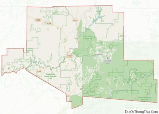
| County: | Elk County |
| Elevation: | 1,526 ft (465 m) |
| Total Area: | 0.5 sq mi (1.3 km²) |
| Land Area: | 0.5 sq mi (1.3 km²) |
| Water Area: | 0.0 sq mi (0.0 km²) |
| Total Population: | 383 |
| Population Density: | 746/sq mi (288.2/km²) |
| ZIP code: | 15870 |
| FIPS code: | 4285088 |
| GNISfeature ID: | 1210116 |
Online Interactive Map
Click on ![]() to view map in "full screen" mode.
to view map in "full screen" mode.
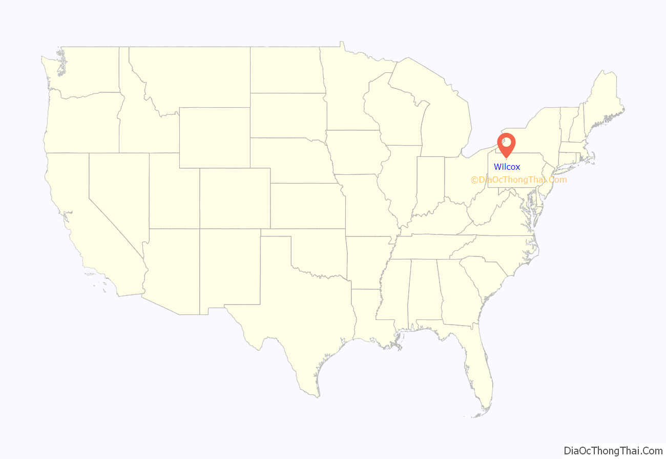
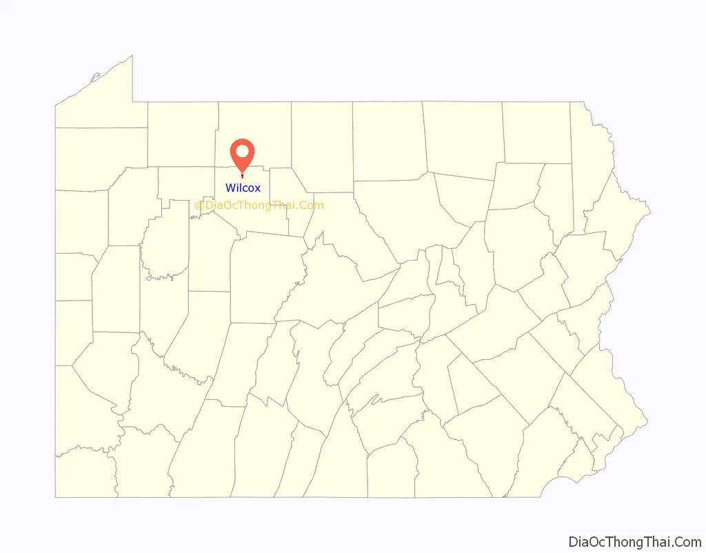
Wilcox location map. Where is Wilcox CDP?
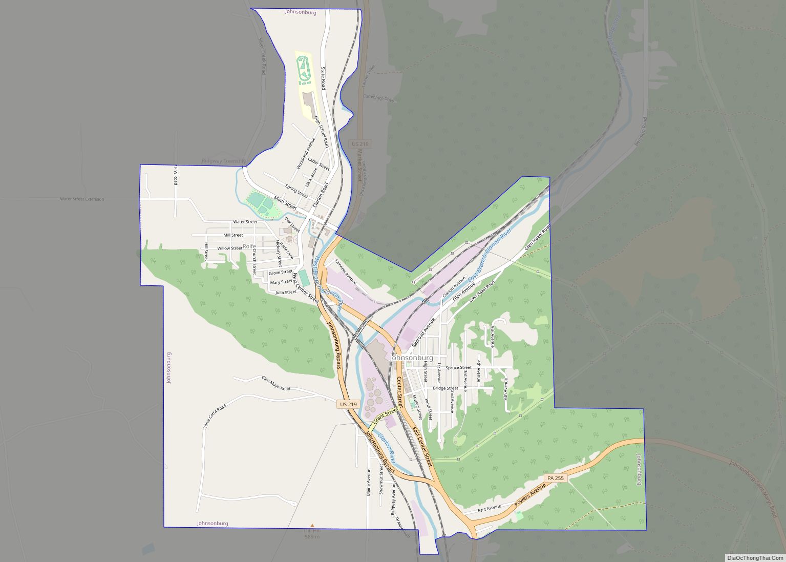
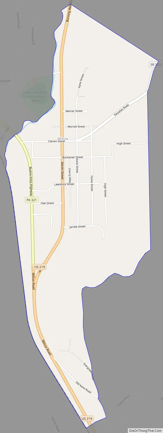
Wilcox Road Map
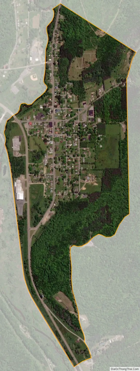
Wilcox city Satellite Map
See also
Map of Pennsylvania State and its subdivision:- Adams
- Allegheny
- Armstrong
- Beaver
- Bedford
- Berks
- Blair
- Bradford
- Bucks
- Butler
- Cambria
- Cameron
- Carbon
- Centre
- Chester
- Clarion
- Clearfield
- Clinton
- Columbia
- Crawford
- Cumberland
- Dauphin
- Delaware
- Elk
- Erie
- Fayette
- Forest
- Franklin
- Fulton
- Greene
- Huntingdon
- Indiana
- Jefferson
- Juniata
- Lackawanna
- Lancaster
- Lawrence
- Lebanon
- Lehigh
- Luzerne
- Lycoming
- Mc Kean
- Mercer
- Mifflin
- Monroe
- Montgomery
- Montour
- Northampton
- Northumberland
- Perry
- Philadelphia
- Pike
- Potter
- Schuylkill
- Snyder
- Somerset
- Sullivan
- Susquehanna
- Tioga
- Union
- Venango
- Warren
- Washington
- Wayne
- Westmoreland
- Wyoming
- York
- Alabama
- Alaska
- Arizona
- Arkansas
- California
- Colorado
- Connecticut
- Delaware
- District of Columbia
- Florida
- Georgia
- Hawaii
- Idaho
- Illinois
- Indiana
- Iowa
- Kansas
- Kentucky
- Louisiana
- Maine
- Maryland
- Massachusetts
- Michigan
- Minnesota
- Mississippi
- Missouri
- Montana
- Nebraska
- Nevada
- New Hampshire
- New Jersey
- New Mexico
- New York
- North Carolina
- North Dakota
- Ohio
- Oklahoma
- Oregon
- Pennsylvania
- Rhode Island
- South Carolina
- South Dakota
- Tennessee
- Texas
- Utah
- Vermont
- Virginia
- Washington
- West Virginia
- Wisconsin
- Wyoming