Wyomissing is a borough in Berks County, Pennsylvania, United States. The borough was established on July 2, 1906. As of the 2020 census, the population was 11,114, compared to 10,461 at the 2010 census. The growth was significantly larger between 2000 and 2010 largely due to its merger in January 2002 with neighboring Wyomissing Hills. Wyomissing is the most populous borough in Berks County.
The borough is recognized as a Tree City USA and selected as a “Contender” for the best places to live in Pennsylvania by Money magazine.
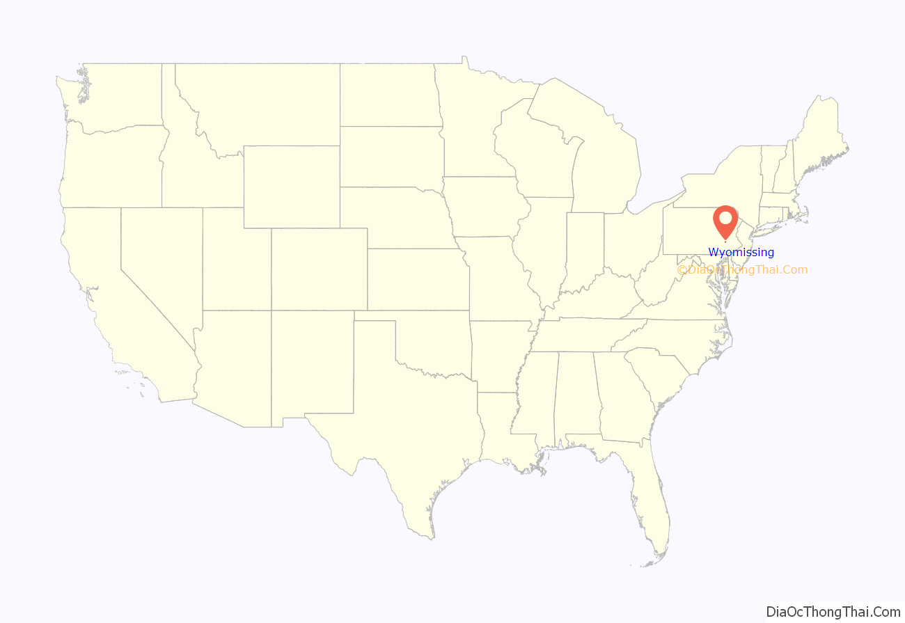
Wyomissing is located 38.5 miles (62.0 km) southwest of Allentown and 59.3 miles (95.4 km) northwest of Philadelphia.
| Name: | Wyomissing borough |
|---|---|
| LSAD Code: | 21 |
| LSAD Description: | borough (suffix) |
| State: | Pennsylvania |
| County: | Berks County |
| Incorporated: | July 2, 1907 |
| Elevation: | 338 ft (103 m) |
| Total Area: | 4.53 sq mi (11.73 km²) |
| Land Area: | 4.51 sq mi (11.68 km²) |
| Water Area: | 0.02 sq mi (0.06 km²) |
| Total Population: | 11,114 |
| Population Density: | 2,464.85/sq mi (951.70/km²) |
| ZIP code: | 19610 |
| Area code: | 610 and 484 |
| FIPS code: | 4286880 |
| Website: | www.wyomissingboro.org |
Online Interactive Map
Click on ![]() to view map in "full screen" mode.
to view map in "full screen" mode.
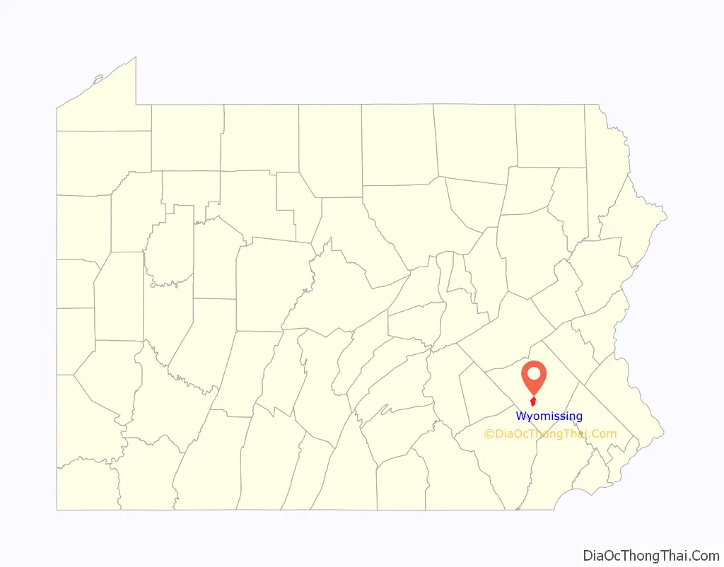
Wyomissing location map. Where is Wyomissing borough?
History
1685 to 1906
The original inhabitants of Wyomissing are Lenape (Delaware) Native Americans, who lived along the banks of Wyomissing Creek. The name Wyomissing is from the Delaware language, meaning “peaceful/long fish/pike”. Much of Berks County was transferred from the Native Americans to William Penn in 1685. Title to the land that much of Wyomissing is built upon was in two parcels, an eastern tract and a western tract, which were divided by a northwesterly line in the vicinity of Lake Avenue. One of the earliest industries in the area was the Evans Grist Mill. This building still stands at the corner of Old Mill Road and Old Wyomissing Road.
In 1896, present-day Wyomissing began to take form when Thomas P. Merritt (a Reading lumber dealer) acquired 600 acres (240 ha). Albert Thalheimer, David H. Keiser, Marthias Mengel, and Levi Walter Mengel joined Thomas R. Merrit in organizing the Reading Suburban Real Estate Company. Shortly afterwards Wyomissing Industries, manufacturer of textile machinery, was established by the firm of Thun & Janssen along the Reading Railroad just west of Van Reed Road (today named Park Road). Ferdinand Thun, Henry K Janssen, and Gustav Oberlaender became known as “The Big Three of Wyomissing Industries. Wyomissing Industries comprised Narrow Fabric Co., Textile Machine Works and Berkshire Knitting Mills. This spurred development, and soon there were many developers working to build Wyomissing.
In 1904 and 1905, Thun and Janssen called town meetings to discuss setting up a borough government. Eventually petitions were filed with the courts for the establishment of a borough, signed by 61 resident property owners and 39 non-resident property owners.
On July 2, 1906, the court issued the final decree of the incorporation of the Borough of Wyomissing.
1907 to present
Between 1906 and the 1940s, several additional tracts of land were annexed to the borough from Spring and Cumru townships. However, 1949–1950 saw the largest annexation, with the addition of the area north of the railroad tracts known as Berkshire Heights. This drastically changed the borough map.
From that point forward, the borough changed from farmland to a large residential and commercial community. The last farmland worked in the borough was part of the Hartman Farm at the intersection of Woodland and Papermill roads. This land was sold into commercial development in the early 1990s. This includes the area now called “Woodmill Commons”, where DSW Shoes, Old Navy and other businesses now are located.
In 2002, Wyomissing merged with its smaller neighbor, Wyomissing Hills.
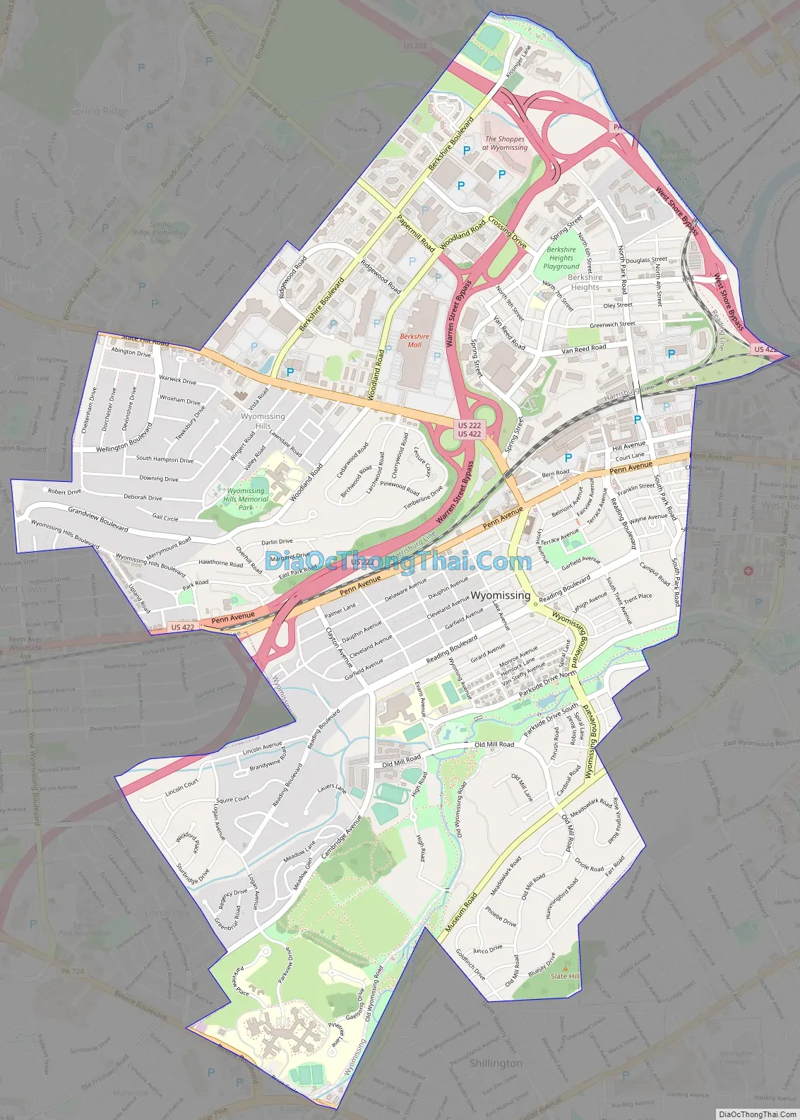
Wyomissing Road Map
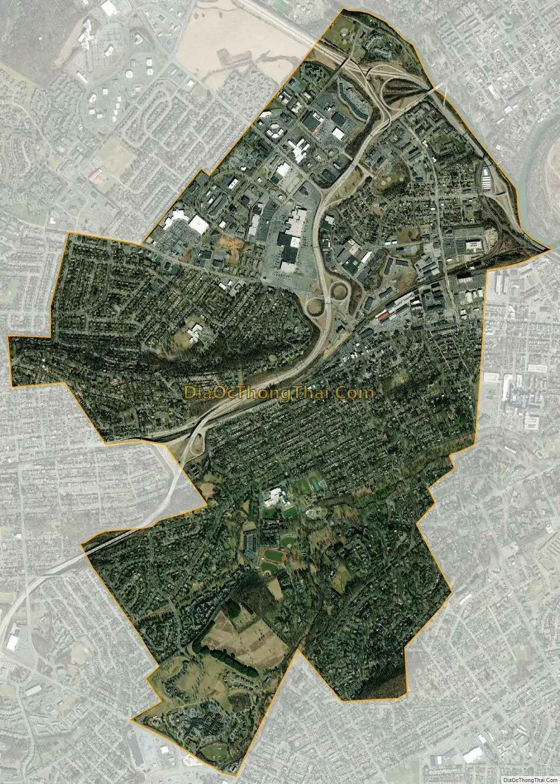
Wyomissing city Satellite Map
Geography
Wyomissing is located in central Berks County at 40°19′58″N 75°57′53″W / 40.33278°N 75.96472°W / 40.33278; -75.96472 (40.332742, -75.964603). It is bordered by the city of Reading to the northeast and southeast, by West Reading directly to the east, by the borough of Shillington and Cumru Township to the south, by Spring Township to the west and northwest, and by Bern Township to the north. From south to north, the west side of Wyomissing is bordered by the unincorporated communities of Montrose Manor, Lincoln Park, West Wyomissing, West Lawn, Whitfield, and Colony Park. Directly to the north, in Bern Township, is the unincorporated community of Greenfields.
The northeastern boundary of Wyomissing with Reading is formed by Tulpehocken Creek and a small portion of the Schuylkill River. Wyomissing Creek flows from southwest to northeast towards the Schuylkill, through the southern part of the borough.
According to the United States Census Bureau, the borough has a total area of 4.50 square miles (11.65 km), of which 4.48 square miles (11.60 km) is land and 0.019 square miles (0.05 km), or 0.47 percent, is water.
In the vicinity of the Knitting Mills (formerly the Vanity Fair complex), average monthly temperatures range from 30.6 °F in January to 75.9 °F in July. The climate locally and in the surrounding area is classified by the Köppen climate classification system as hot-summer humid continental (Dfa). The local hardiness zone is 7a, bordering on 6b.
See also
Map of Pennsylvania State and its subdivision:- Adams
- Allegheny
- Armstrong
- Beaver
- Bedford
- Berks
- Blair
- Bradford
- Bucks
- Butler
- Cambria
- Cameron
- Carbon
- Centre
- Chester
- Clarion
- Clearfield
- Clinton
- Columbia
- Crawford
- Cumberland
- Dauphin
- Delaware
- Elk
- Erie
- Fayette
- Forest
- Franklin
- Fulton
- Greene
- Huntingdon
- Indiana
- Jefferson
- Juniata
- Lackawanna
- Lancaster
- Lawrence
- Lebanon
- Lehigh
- Luzerne
- Lycoming
- Mc Kean
- Mercer
- Mifflin
- Monroe
- Montgomery
- Montour
- Northampton
- Northumberland
- Perry
- Philadelphia
- Pike
- Potter
- Schuylkill
- Snyder
- Somerset
- Sullivan
- Susquehanna
- Tioga
- Union
- Venango
- Warren
- Washington
- Wayne
- Westmoreland
- Wyoming
- York
- Alabama
- Alaska
- Arizona
- Arkansas
- California
- Colorado
- Connecticut
- Delaware
- District of Columbia
- Florida
- Georgia
- Hawaii
- Idaho
- Illinois
- Indiana
- Iowa
- Kansas
- Kentucky
- Louisiana
- Maine
- Maryland
- Massachusetts
- Michigan
- Minnesota
- Mississippi
- Missouri
- Montana
- Nebraska
- Nevada
- New Hampshire
- New Jersey
- New Mexico
- New York
- North Carolina
- North Dakota
- Ohio
- Oklahoma
- Oregon
- Pennsylvania
- Rhode Island
- South Carolina
- South Dakota
- Tennessee
- Texas
- Utah
- Vermont
- Virginia
- Washington
- West Virginia
- Wisconsin
- Wyoming


