La Honda (Spanish for “The Sling”) is a census-designated place (CDP) in southern San Mateo County, California, United States. The population was 979 at the 2020 census. It is located in the Santa Cruz Mountains between the Santa Clara Valley and the Pacific coast of California. La Honda is near the La Honda Creek Open Space Preserve and State Route 84 on the ocean side of the Coastal Range.
The ZIP Code for La Honda is 94020 and the area code is 650. Land-line numbers in the La Honda telephone exchange follow the pattern 747-xxxx while wired telephones in and around the Middleton Tract (along Portola State Park Road) work out of the Los Altos exchange with 94x-xxxx numbers. Per the U.S. Geological Survey, Lahonda is a historic variant of the modern spelling.
| Name: | La Honda CDP |
|---|---|
| LSAD Code: | 57 |
| LSAD Description: | CDP (suffix) |
| State: | California |
| County: | San Mateo County |
| Elevation: | 715 ft (218 m) |
| Total Area: | 4.262 sq mi (11.038 km²) |
| Land Area: | 4.247 sq mi (10.999 km²) |
| Water Area: | 0.015 sq mi (0.039 km²) 0.35% |
| Total Population: | 979 |
| Population Density: | 230/sq mi (89/km²) |
| ZIP code: | 94020 |
| Area code: | 650 |
| FIPS code: | 0639318 |
| GNISfeature ID: | 2628746 |
Online Interactive Map
Click on ![]() to view map in "full screen" mode.
to view map in "full screen" mode.
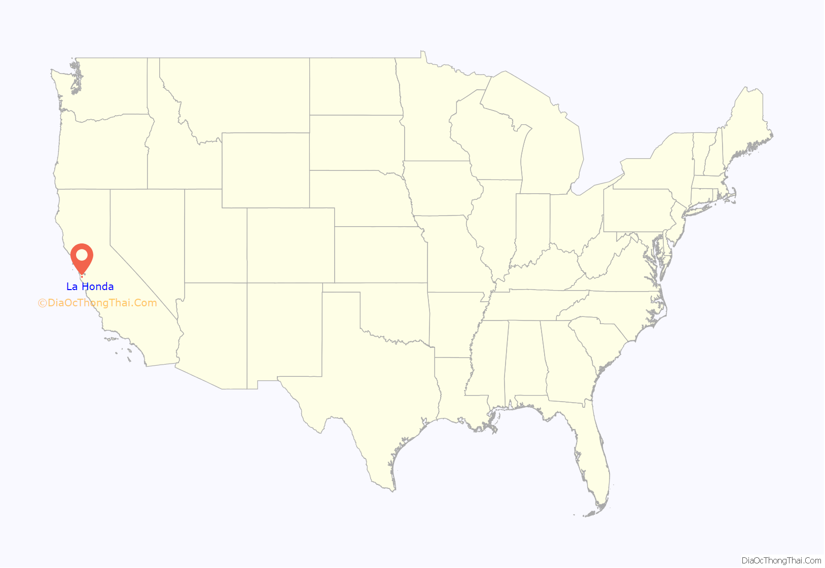
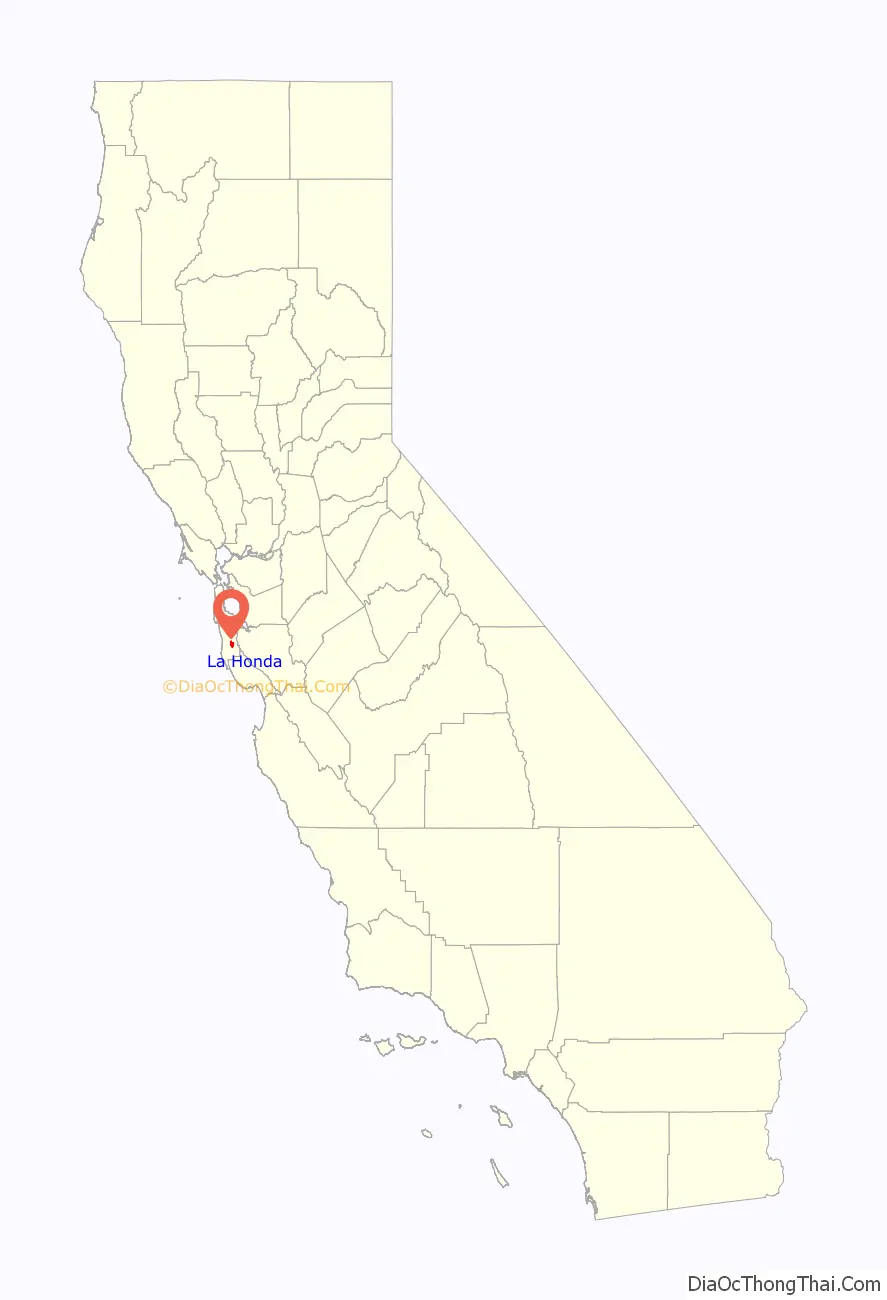
La Honda location map. Where is La Honda CDP?
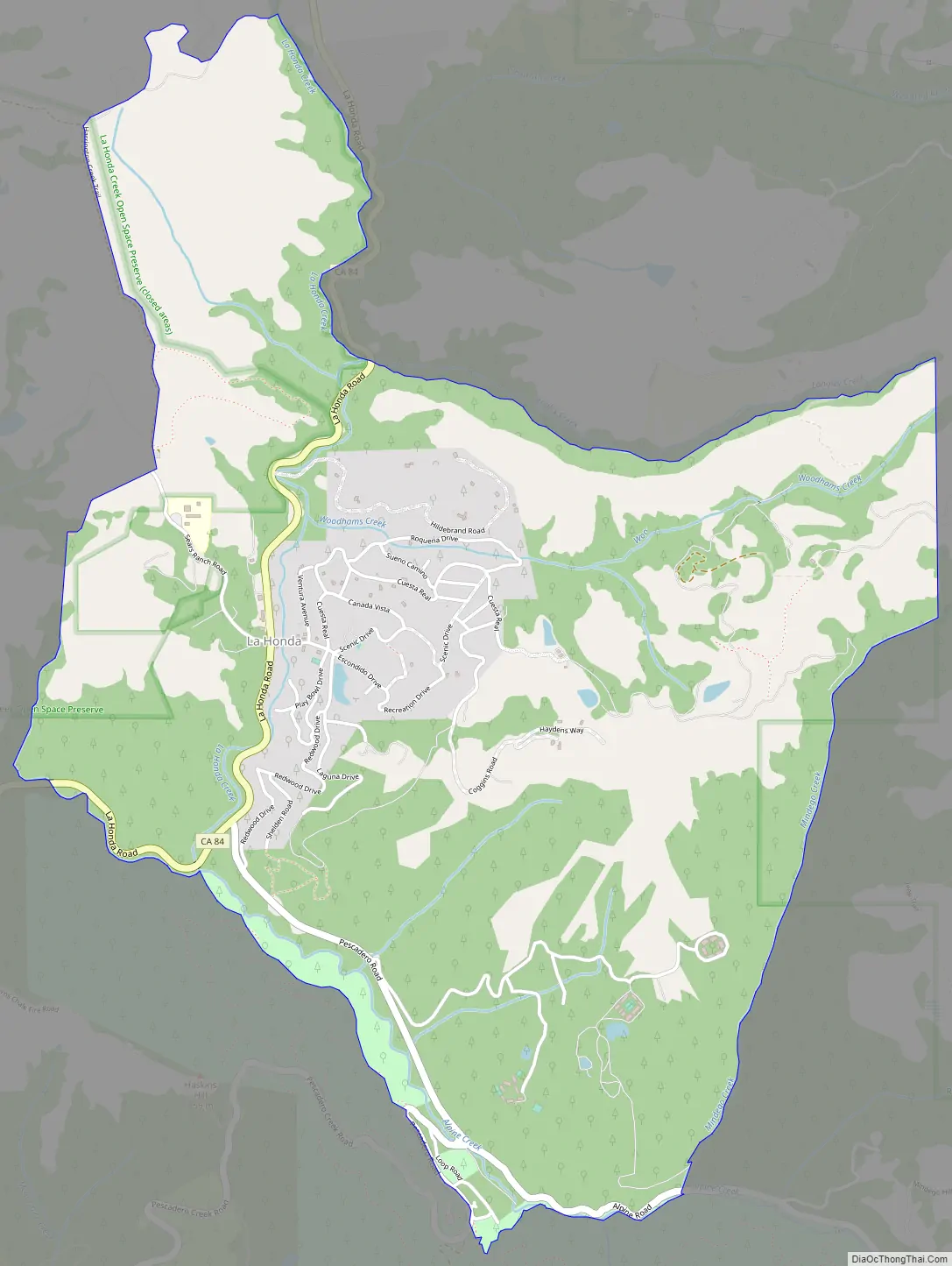
La Honda Road Map
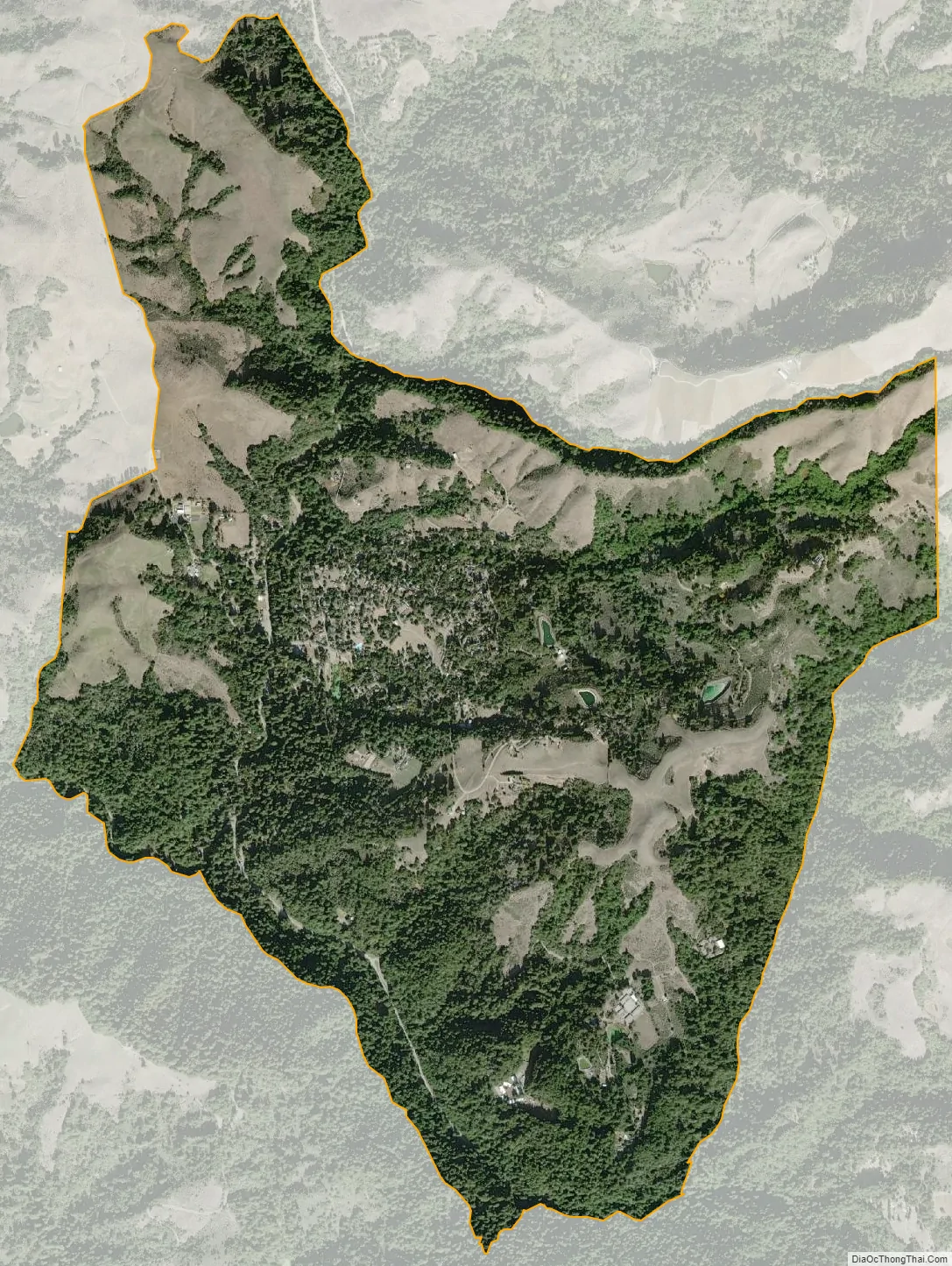
La Honda city Satellite Map
Geography
According to the United States Census Bureau, the CDP covers an area of 4.3 square miles (11.0 km), 99.65% of it land, and 0.35% of it water.
Habitat
La Honda is home to diverse habitats, from cool, moist forests of coast redwood and coast Douglas fir, to mixed woodland, chaparral, and grassy hillsides.
A redwood forest at Play Bowl, a valley traversed by trails and the La Honda Creek, located at the end of Play Bowl Drive..
La Honda Creek at Play Bowl.
A grassy area between La Honda and San Gregorio (closer to the latter), as seen from Highway 84.
A trail at Play Bowl in November 2015.
Hills—grassy, wooded, or chaparral-coated—lay between La Honda and the Pacific. From here, only a few buildings on the Northern end of town are visible.
Climate
This region experiences warm (but not hot) and dry summers, with no average monthly temperatures above 71.6 °F (22.0 °C). According to the Köppen Climate Classification system, La Honda has a warm-summer Mediterranean climate, abbreviated “Csb” on climate maps. In addition, like much of California, the town receives most of its rain between November and April. Due to El Niño, the region sometimes receives extra winter rains, making it vulnerable to landslides. Scenic Drive, a local road, has seen three landslides since 1998. With elevations ranging from about 300 feet where La Honda Creek meets Alpine Creek, to more than 1200 feet in the hills, the weather may vary between the town’s hillsides and valleys. Sometimes the marine layer is too low to reach the hills, leaving the lower elevations foggy or overcast while the mountains enjoy clearer weather. On some winter nights, similar thermal inversions trap cold air in the valleys, leading to frost, with higher elevations remaining generally milder. These same weather patterns are at play in much of the coast-facing Santa Cruz Mountains.
See also
Map of California State and its subdivision:- Alameda
- Alpine
- Amador
- Butte
- Calaveras
- Colusa
- Contra Costa
- Del Norte
- El Dorado
- Fresno
- Glenn
- Humboldt
- Imperial
- Inyo
- Kern
- Kings
- Lake
- Lassen
- Los Angeles
- Madera
- Marin
- Mariposa
- Mendocino
- Merced
- Modoc
- Mono
- Monterey
- Napa
- Nevada
- Orange
- Placer
- Plumas
- Riverside
- Sacramento
- San Benito
- San Bernardino
- San Diego
- San Francisco
- San Joaquin
- San Luis Obispo
- San Mateo
- Santa Barbara
- Santa Clara
- Santa Cruz
- Shasta
- Sierra
- Siskiyou
- Solano
- Sonoma
- Stanislaus
- Sutter
- Tehama
- Trinity
- Tulare
- Tuolumne
- Ventura
- Yolo
- Yuba
- Alabama
- Alaska
- Arizona
- Arkansas
- California
- Colorado
- Connecticut
- Delaware
- District of Columbia
- Florida
- Georgia
- Hawaii
- Idaho
- Illinois
- Indiana
- Iowa
- Kansas
- Kentucky
- Louisiana
- Maine
- Maryland
- Massachusetts
- Michigan
- Minnesota
- Mississippi
- Missouri
- Montana
- Nebraska
- Nevada
- New Hampshire
- New Jersey
- New Mexico
- New York
- North Carolina
- North Dakota
- Ohio
- Oklahoma
- Oregon
- Pennsylvania
- Rhode Island
- South Carolina
- South Dakota
- Tennessee
- Texas
- Utah
- Vermont
- Virginia
- Washington
- West Virginia
- Wisconsin
- Wyoming


