Loma Mar (Spanish for “Sea Hill”) is a census-designated place (CDP) in San Mateo County, California. It is near San Mateo County Memorial Park on Pescadero Creek Road and is in area code 650. Loma Mar is between the towns of Pescadero and La Honda, situated in the Santa Cruz Mountains in the western part of the San Francisco Peninsula. The United States Postal Service has assigned it ZIP Code 94021. As of the census of 2020, there were 134 residents in the CDP. Loma Mar is home to the YMCA’s Camp Loma Mar, Redwood Glen Camp and Conference Center as well as a small number of businesses and services including the Loma Mar Store, a post office, and a fire station run by volunteers.
| Name: | Loma Mar CDP |
|---|---|
| LSAD Code: | 57 |
| LSAD Description: | CDP (suffix) |
| State: | California |
| County: | San Mateo County |
| Elevation: | 866 ft (264 m) |
| Total Area: | 1.735 sq mi (4.493 km²) |
| Land Area: | 1.735 sq mi (4.493 km²) |
| Water Area: | 0 sq mi (0 km²) 0% |
| Total Population: | 134 |
| Population Density: | 77/sq mi (30/km²) |
| ZIP code: | 94021 |
| Area code: | 650 |
| FIPS code: | 0642384 |
| GNISfeature ID: | 2628753 |
Online Interactive Map
Click on ![]() to view map in "full screen" mode.
to view map in "full screen" mode.
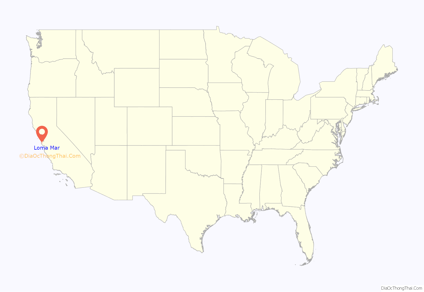
Loma Mar location map. Where is Loma Mar CDP?
Loma Mar Road Map
Loma Mar city Satellite Map
Geography
The town is located within a redwood forest, and is traversed by the Pescadero Creek.
According to the United States Census Bureau, the CDP covers an area of 1.7 square miles (4.5 km), all of it land.
See also
Map of California State and its subdivision:- Alameda
- Alpine
- Amador
- Butte
- Calaveras
- Colusa
- Contra Costa
- Del Norte
- El Dorado
- Fresno
- Glenn
- Humboldt
- Imperial
- Inyo
- Kern
- Kings
- Lake
- Lassen
- Los Angeles
- Madera
- Marin
- Mariposa
- Mendocino
- Merced
- Modoc
- Mono
- Monterey
- Napa
- Nevada
- Orange
- Placer
- Plumas
- Riverside
- Sacramento
- San Benito
- San Bernardino
- San Diego
- San Francisco
- San Joaquin
- San Luis Obispo
- San Mateo
- Santa Barbara
- Santa Clara
- Santa Cruz
- Shasta
- Sierra
- Siskiyou
- Solano
- Sonoma
- Stanislaus
- Sutter
- Tehama
- Trinity
- Tulare
- Tuolumne
- Ventura
- Yolo
- Yuba
- Alabama
- Alaska
- Arizona
- Arkansas
- California
- Colorado
- Connecticut
- Delaware
- District of Columbia
- Florida
- Georgia
- Hawaii
- Idaho
- Illinois
- Indiana
- Iowa
- Kansas
- Kentucky
- Louisiana
- Maine
- Maryland
- Massachusetts
- Michigan
- Minnesota
- Mississippi
- Missouri
- Montana
- Nebraska
- Nevada
- New Hampshire
- New Jersey
- New Mexico
- New York
- North Carolina
- North Dakota
- Ohio
- Oklahoma
- Oregon
- Pennsylvania
- Rhode Island
- South Carolina
- South Dakota
- Tennessee
- Texas
- Utah
- Vermont
- Virginia
- Washington
- West Virginia
- Wisconsin
- Wyoming
