Portola Valley is a town in San Mateo County, California. Located on the San Francisco Peninsula in the Bay Area, Portola Valley is a small, wealthy community nestled on the eastern slopes of the Santa Cruz Mountains.
| Name: | Portola Valley town |
|---|---|
| LSAD Code: | 43 |
| LSAD Description: | town (suffix) |
| State: | California |
| County: | San Mateo County |
| Incorporated: | July 14, 1964 |
| Elevation: | 459 ft (140 m) |
| Total Area: | 9.08 sq mi (23.53 km²) |
| Land Area: | 9.08 sq mi (23.52 km²) |
| Water Area: | 0.00 sq mi (0.00 km²) 0.02% |
| Total Population: | 4,456 |
| Population Density: | 490/sq mi (190/km²) |
| ZIP code: | 94028 |
| Area code: | 650 |
| FIPS code: | 0658380 |
| GNISfeature ID: | 1659786 |
| Website: | www.portolavalley.net |
Online Interactive Map
Click on ![]() to view map in "full screen" mode.
to view map in "full screen" mode.
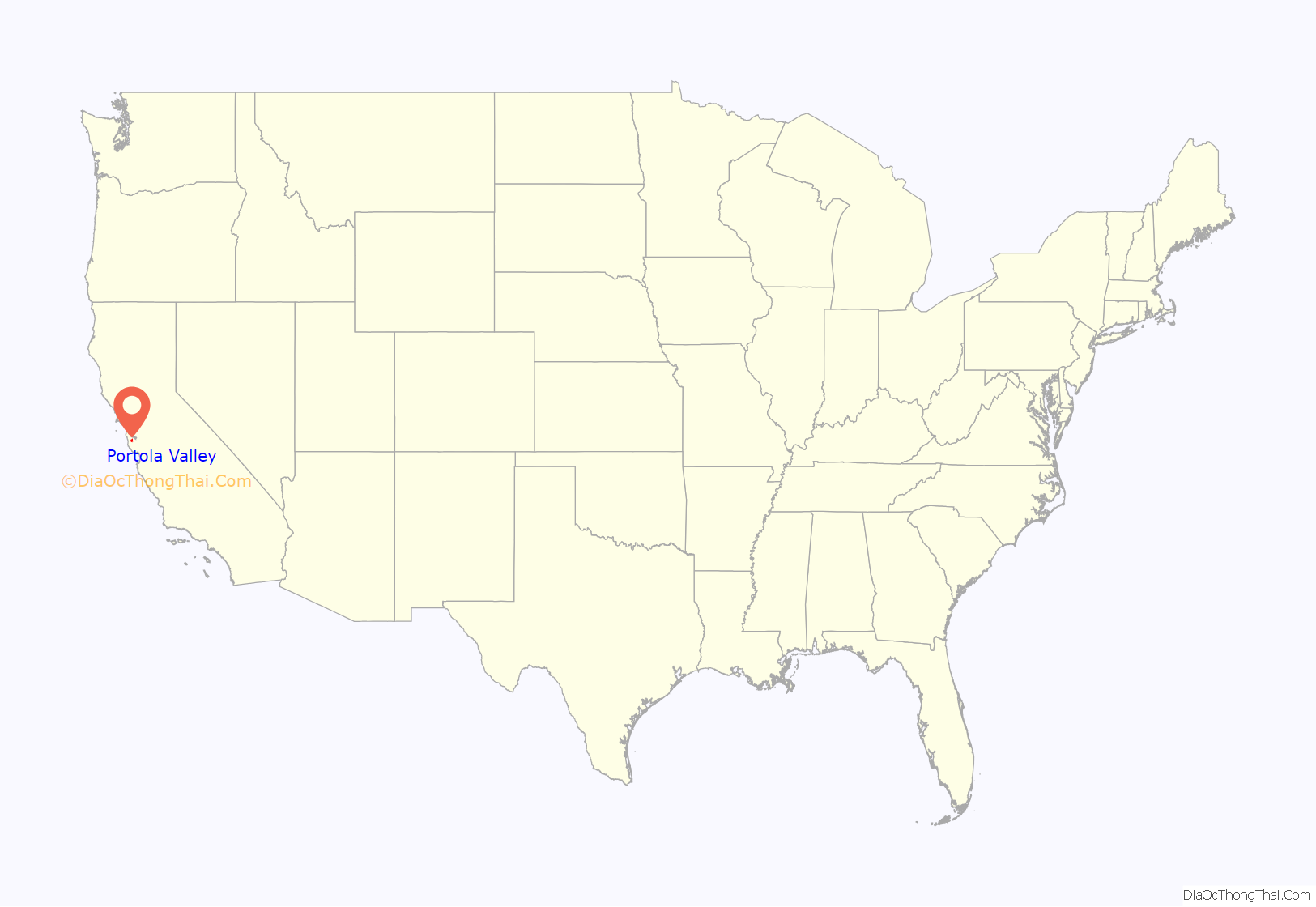
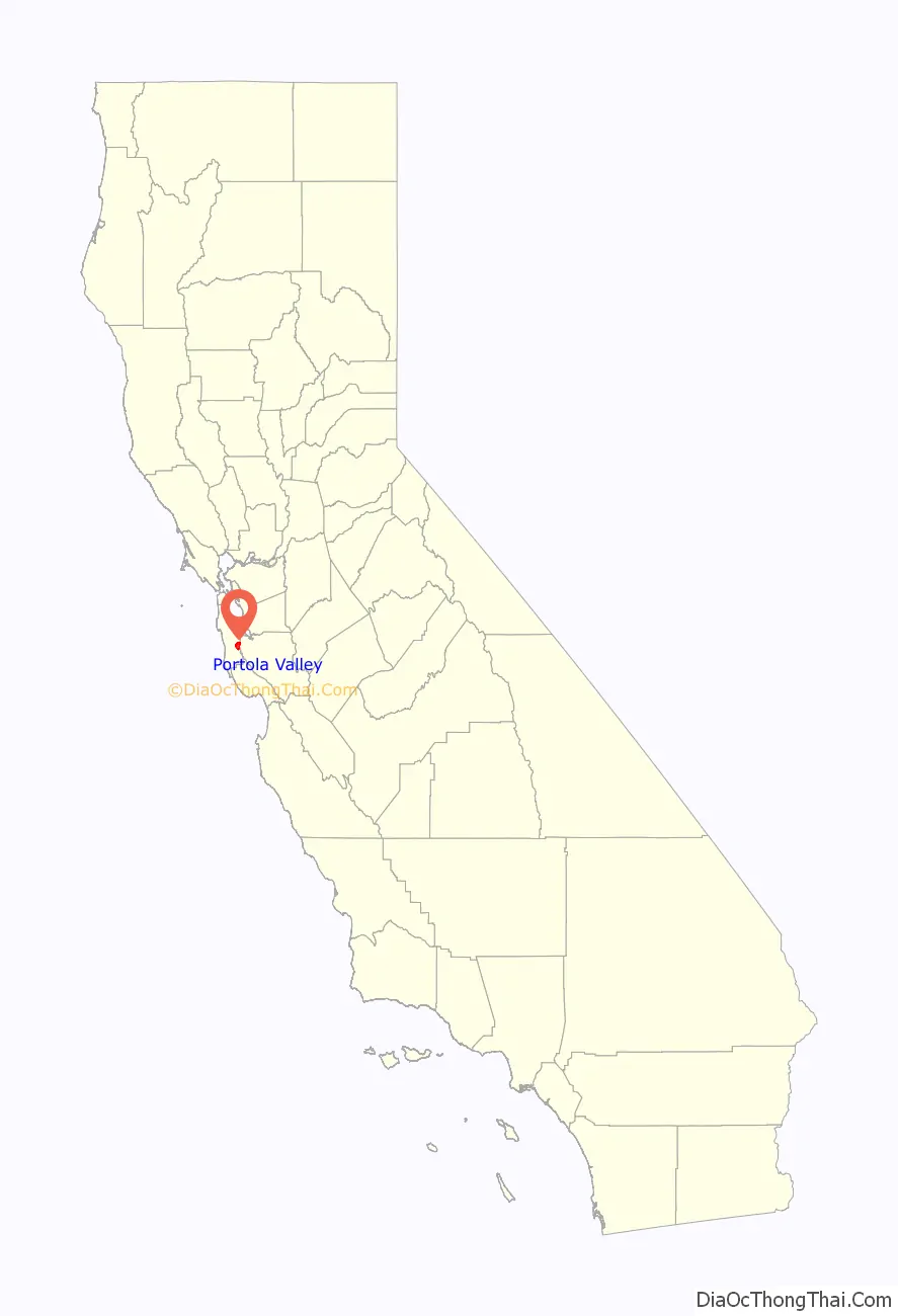
Portola Valley location map. Where is Portola Valley town?
History
Portola Valley was named for Spanish explorer Gaspar de Portolá, who led the first party of Europeans to explore the San Francisco Peninsula in 1769.
The Native Americans already present were Ohlone and specifically the group (or groups) known as Olpen or Guemelento but these were later moved to Mission Dolores and Mission Santa Clara de Asís which claimed the land and peoples. The area’s written history dates back to 1833, when a square league of land was given to Domingo Peralta and Máximo Martínez by Governor José Figueroa to form the Rancho Cañada del Corte de Madera. In those days it was used for lumbering and cattle grazing.
By the 1880s Andrew S. Hallidie, a wire rope manufacturer, had built his country home of Eagle Home Farm in what is now Portola Valley. He built a 7,341 foot long aerial tramway from his house to the top of Skyline in 1894 though it was removed after his death in 1900.
In 1886 the name Portola-Crespi Valley was bestowed on the area from the then community of Crystal Springs (now under Crystal Springs Reservoir to the then community of Searsville (in the area of the present day Jasper Ridge Biological Preserve); Crespi is for Juan Crespí, a Franciscan friar with the Portolà expedition.
The town was incorporated in 1964. Bill Lane was the first mayor.
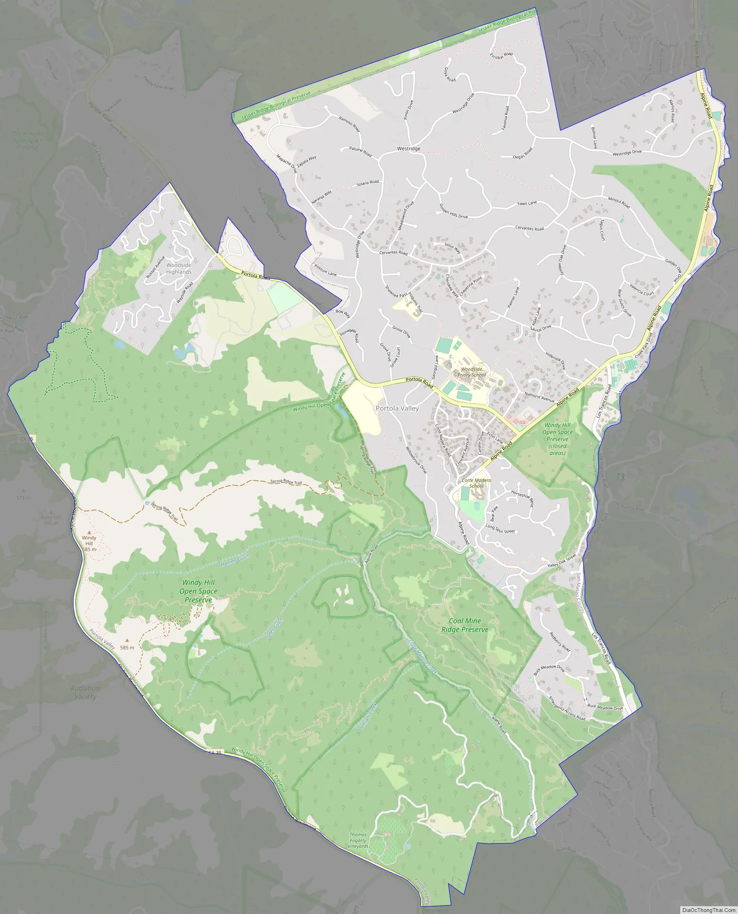
Portola Valley Road Map
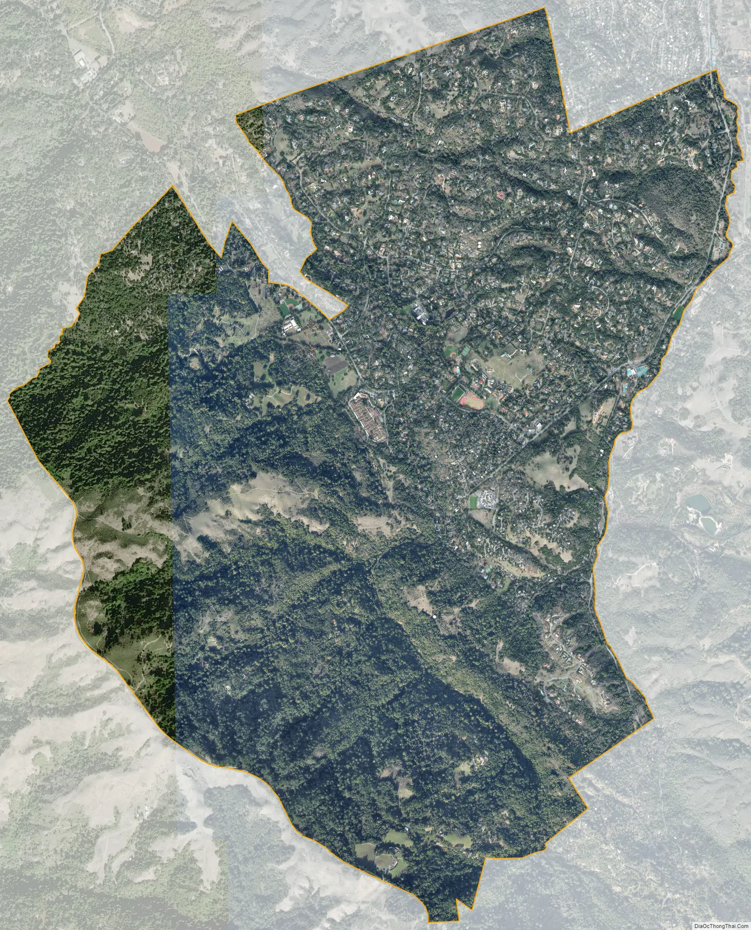
Portola Valley city Satellite Map
Geography
Portola Valley is located on the San Francisco Peninsula on the eastern slope of the Santa Cruz Mountains. The town is west of Interstate 280 and the southwest boundary is along Skyline Boulevard which more or less is the ridge of the mountains. The Windy Hill Open Space Preserve is a large part of the town’s southwest side and the north side of the town borders Jasper Ridge Biological Preserve. Woodside borders it to the northwest and Palo Alto to the southeast The unincorporated subdivision of Ladera is adjacent to the northern boundary of the town. It is in a mostly wooded area, with some open fields. The San Andreas Fault bisects the town.
Alpine Road and Portola Road are the two relatively main roads in the town and their intersection forms a small shopping nexus.
Portola Valley can generally be divided into 7 subdivisions: Central Portola Valley, The Ranch, Corte Madera, Los Trancos/Vista Verde, Woodside Highlands, Westridge, and Blue Oaks.
According to the United States Census Bureau, the town has a total area of 9.099 square miles (23.57 km), 99.98% of it land and 0.02% of it water.
See also
Map of California State and its subdivision:- Alameda
- Alpine
- Amador
- Butte
- Calaveras
- Colusa
- Contra Costa
- Del Norte
- El Dorado
- Fresno
- Glenn
- Humboldt
- Imperial
- Inyo
- Kern
- Kings
- Lake
- Lassen
- Los Angeles
- Madera
- Marin
- Mariposa
- Mendocino
- Merced
- Modoc
- Mono
- Monterey
- Napa
- Nevada
- Orange
- Placer
- Plumas
- Riverside
- Sacramento
- San Benito
- San Bernardino
- San Diego
- San Francisco
- San Joaquin
- San Luis Obispo
- San Mateo
- Santa Barbara
- Santa Clara
- Santa Cruz
- Shasta
- Sierra
- Siskiyou
- Solano
- Sonoma
- Stanislaus
- Sutter
- Tehama
- Trinity
- Tulare
- Tuolumne
- Ventura
- Yolo
- Yuba
- Alabama
- Alaska
- Arizona
- Arkansas
- California
- Colorado
- Connecticut
- Delaware
- District of Columbia
- Florida
- Georgia
- Hawaii
- Idaho
- Illinois
- Indiana
- Iowa
- Kansas
- Kentucky
- Louisiana
- Maine
- Maryland
- Massachusetts
- Michigan
- Minnesota
- Mississippi
- Missouri
- Montana
- Nebraska
- Nevada
- New Hampshire
- New Jersey
- New Mexico
- New York
- North Carolina
- North Dakota
- Ohio
- Oklahoma
- Oregon
- Pennsylvania
- Rhode Island
- South Carolina
- South Dakota
- Tennessee
- Texas
- Utah
- Vermont
- Virginia
- Washington
- West Virginia
- Wisconsin
- Wyoming


