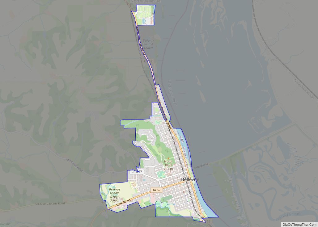
Bellevue (/ˈbɛlvjuː/ BEL-vew) is a city in eastern Jackson County, Iowa, United States. The city lies along the Mississippi River (at Lock and Dam No. 12) and next to Bellevue State Park. In 2020 its population was 2,363; up from a count of 2,191 at the 2010 Census, making it the second-largest and only growing city in Jackson County.
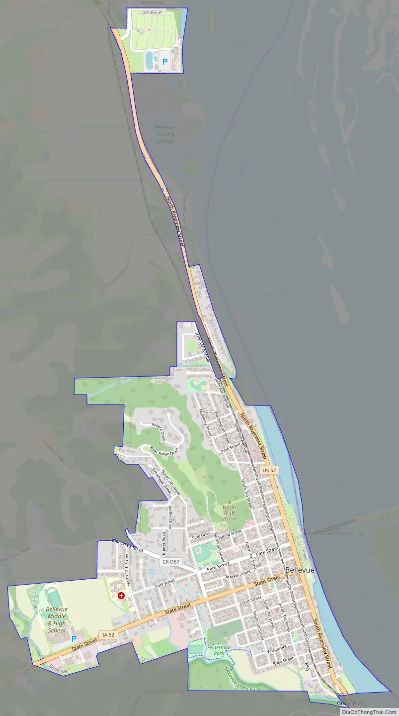
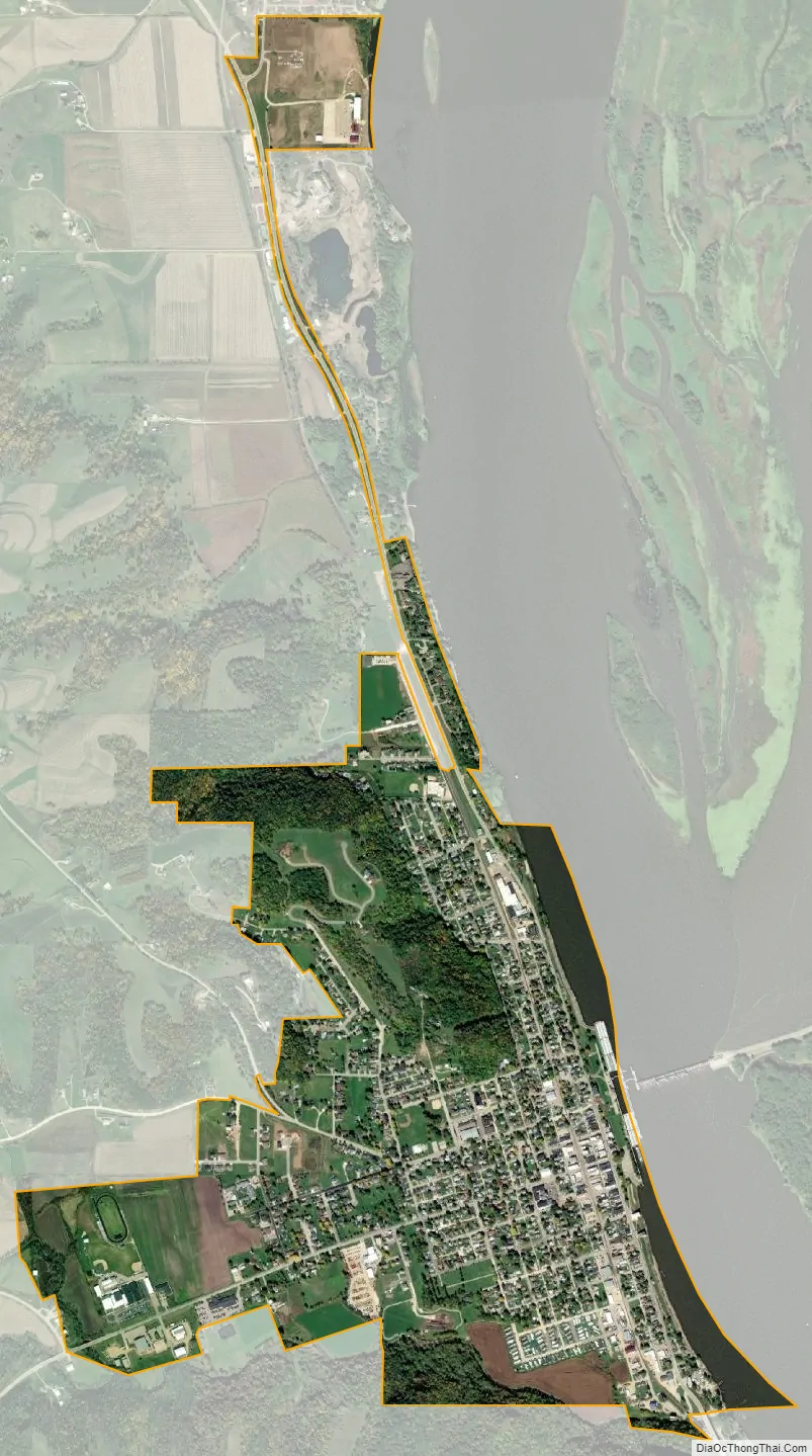
The city lies in a valley created by two large bluffs (known as North and South Bluffs respectively), with the Mississippi River serving as the city’s eastern border (the Illinois state border), and with the Mill Creek valley extending to the west. Geographically, it is part of the southernmost region of the Driftless Area, a portion of North America that escaped all three phases of the Wisconsinian Glaciation.
It is one of the few cities in Iowa to be built near large hills and bluffs, which account for much of the city’s economic stimulation as a tourist town. The city attributes its name from the French words ‘Belle’ and ‘Vue’ meaning ‘beautiful view’, as well as an early settler, John D. Bell. The unique history and architecture of Bellevue draw visitors year round, mainly from nearby large population centers (including Dubuque and Maquoketa).
| Name: | Bellevue city |
|---|---|
| LSAD Code: | 25 |
| LSAD Description: | city (suffix) |
| State: | Iowa |
| County: | Jackson County |
| Founded: | July 2, 1836 |
| Incorporated: | February 5, 1851 |
| Elevation: | 607 ft (185 m) |
| Total Area: | 1.45 sq mi (3.74 km²) |
| Land Area: | 1.38 sq mi (3.56 km²) |
| Water Area: | 0.07 sq mi (0.18 km²) |
| Total Population: | 2,363 |
| Population Density: | 1,718.55/sq mi (663.57/km²) |
| ZIP code: | 52031 |
| Area code: | 563 |
| FIPS code: | 1905635 |
| GNISfeature ID: | 0454496 |
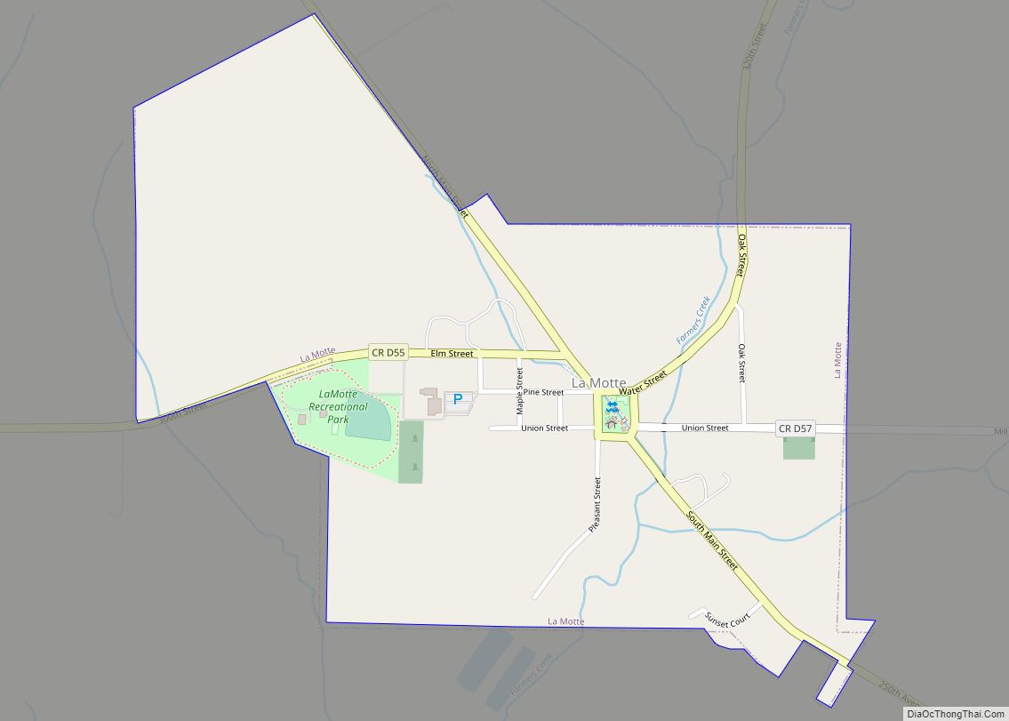
Online Interactive Map
Click on ![]() to view map in "full screen" mode.
to view map in "full screen" mode.
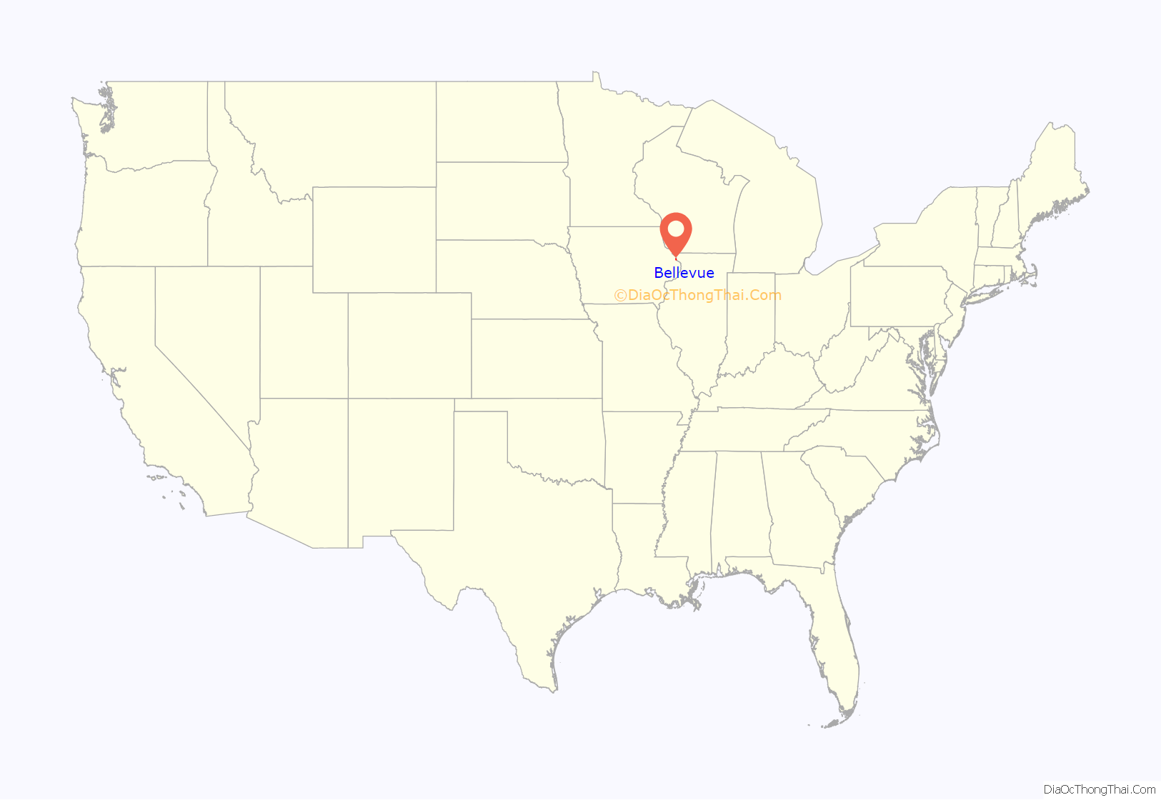
Bellevue location map. Where is Bellevue city?
History
Jackson County, along with Jones and Linn Counties were established in 1837 and Bellevue was the named the seat of justice for all three counties. Prior to the formal opening of the county, Bellevue was laid out by John D. Bell in 1835. He built a cabin there and was the town’s first postmaster. The first hotel was built by Peter Dutell in 1836, and was called the Bellevue House. When Iowa became a territory in 1838, the first census was taken and Jackson County had 881 people.
The Bellevue War of 1840 gave the town an unsavory reputation and discouraged settlement in its aftermath. However, the population would double within two years. In 1838 the town of Andrew was designated as the county seat. Between 1848 and 1876, the struggle between Andrew and Bellevue for the county seat continued with the county seat being moved from one town to the other several times, with Bellevue constructing a county courthouse in 1845 that now serves as Bellevue Elementary, the oldest functioning school building in Iowa. As the county was settled, Maquoketa would become the dominant centrally located town when the railroad reached Maquoketa in 1873. The Town of Maquoketa then built a large city hall and offered to lease the building to Jackson County as a courthouse. The proposition was put to a vote and approved, and since then, Maquoketa has been the county seat.
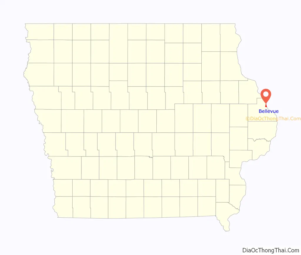
Bellevue Road Map
Bellevue city Satellite Map
Geography
According to the United States Census Bureau, the city has a total area of 1.41 square miles (3.65 km), of which 1.34 square miles (3.47 km) is land and 0.07 square miles (0.18 km) is water.
Climate
Bellevue has a humid continental climate (Köppen Dfa), which gives it four distinct seasons. However, local weather is often not as extreme as that found in other parts of the Midwest, such as Minnesota or Wisconsin. Spring is usually wet and rainy, summers are sunny and warm, autumn is mild, and winters are typically cloudy and snowy.
See also
Map of Iowa State and its subdivision:- Adair
- Adams
- Allamakee
- Appanoose
- Audubon
- Benton
- Black Hawk
- Boone
- Bremer
- Buchanan
- Buena Vista
- Butler
- Calhoun
- Carroll
- Cass
- Cedar
- Cerro Gordo
- Cherokee
- Chickasaw
- Clarke
- Clay
- Clayton
- Clinton
- Crawford
- Dallas
- Davis
- Decatur
- Delaware
- Des Moines
- Dickinson
- Dubuque
- Emmet
- Fayette
- Floyd
- Franklin
- Fremont
- Greene
- Grundy
- Guthrie
- Hamilton
- Hancock
- Hardin
- Harrison
- Henry
- Howard
- Humboldt
- Ida
- Iowa
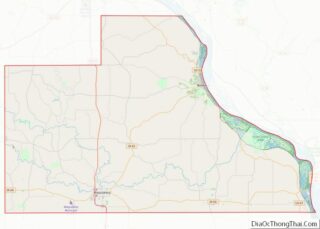
- Jackson
- Jasper
- Jefferson
- Johnson
- Jones
- Keokuk
- Kossuth
- Lee
- Linn
- Louisa
- Lucas
- Lyon
- Madison
- Mahaska
- Marion
- Marshall
- Mills
- Mitchell
- Monona
- Monroe
- Montgomery
- Muscatine
- O'Brien
- Osceola
- Page
- Palo Alto
- Plymouth
- Pocahontas
- Polk
- Pottawattamie
- Poweshiek
- Ringgold
- Sac
- Scott
- Shelby
- Sioux
- Story
- Tama
- Taylor
- Union
- Van Buren
- Wapello
- Warren
- Washington
- Wayne
- Webster
- Winnebago
- Winneshiek
- Woodbury
- Worth
- Wright
- Alabama
- Alaska
- Arizona
- Arkansas
- California
- Colorado
- Connecticut
- Delaware
- District of Columbia
- Florida
- Georgia
- Hawaii
- Idaho
- Illinois
- Indiana
- Iowa
- Kansas
- Kentucky
- Louisiana
- Maine
- Maryland
- Massachusetts
- Michigan
- Minnesota
- Mississippi
- Missouri
- Montana
- Nebraska
- Nevada
- New Hampshire
- New Jersey
- New Mexico
- New York
- North Carolina
- North Dakota
- Ohio
- Oklahoma
- Oregon
- Pennsylvania
- Rhode Island
- South Carolina
- South Dakota
- Tennessee
- Texas
- Utah
- Vermont
- Virginia
- Washington
- West Virginia
- Wisconsin
- Wyoming