Coppock is a city in Henry, Jefferson, and Washington counties in the U.S. state of Iowa. The population was 36 at the 2020 census.
The Washington County portion of Coppock is part of the Iowa City, Iowa Metropolitan Statistical Area. There is only one business open to the public, a tavern/boat landing.
| Name: | Coppock city |
|---|---|
| LSAD Code: | 25 |
| LSAD Description: | city (suffix) |
| State: | Iowa |
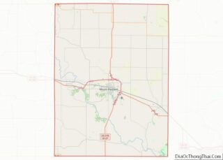
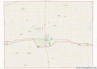
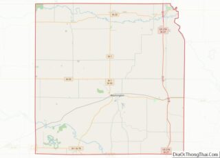
| County: | Henry County, Jefferson County, Washington County |
| Elevation: | 633 ft (193 m) |
| Total Area: | 0.24 sq mi (0.62 km²) |
| Land Area: | 0.23 sq mi (0.60 km²) |
| Water Area: | 0.01 sq mi (0.02 km²) |
| Total Population: | 36 |
| Population Density: | 155.84/sq mi (60.24/km²) |
| ZIP code: | 52654 |
| Area code: | 319 |
| FIPS code: | 1916140 |
| GNISfeature ID: | 0465626 |
Online Interactive Map
Click on ![]() to view map in "full screen" mode.
to view map in "full screen" mode.
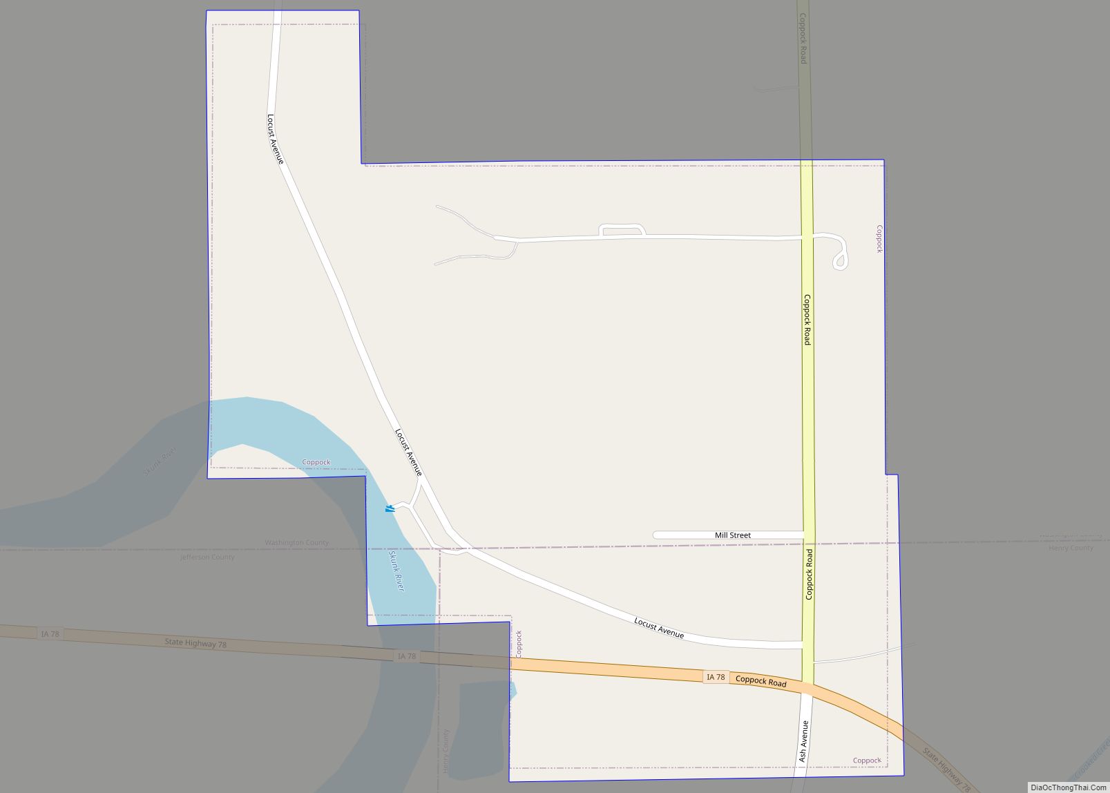
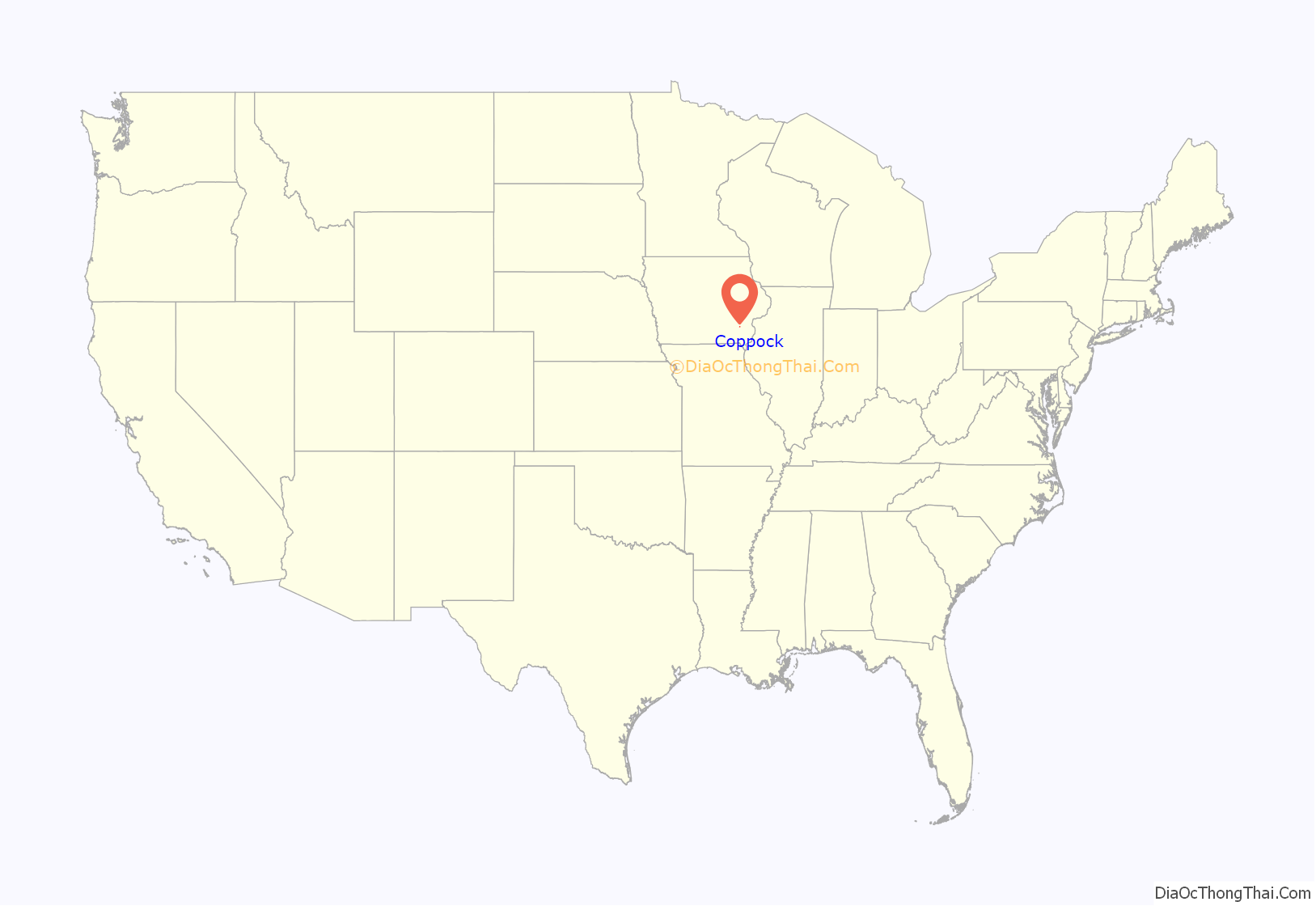
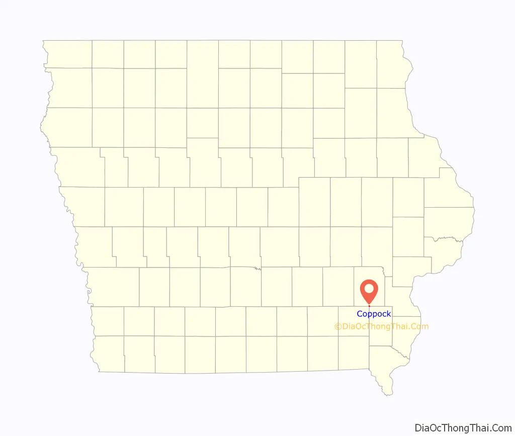
Coppock location map. Where is Coppock city?
History
John Coppock and Thomas Tucker built a grist mill and saw mill on the Skunk River in 1859. The grist mill was on the north bank of the river about 1/8 mile (1/4 km) east of what is now Locust St. John’s son Thomas Coppock built a general store nearby, and the Coppock businesses became a social center for the surrounding area. By 1877, when John Coppock died, the grist mill was a four story building, and the operation included 360 acres of land, 4 houses and a ferry.
Coppock’s mill was the site of a battle in 1882 between the Iowa Central Railway and the narrow-gauge Burlington and Western Railway for locations of bridges across the Skunk River. The Burlington and Western was later widened and taken over by the Chicago, Burlington and Quincy and the Iowa Central was taken over by the Minneapolis and St. Louis.
With the coming of the railroads there was major development around the mill. The town of Coppock was platted in 1882, with 4 city blocks. The two railroads paralleled each other in a broad curve south of the town, each with its own depot, passing siding, stock yard and, water tank. The Burlington and Western also had a coaling station. John Coppock Jr. bought the mill and dam in 1883, and by 1887, the mill was a 40 by 50 foot, six story building. Ice harvesting became an important winter business in this era, the Burlington and Western built a siding for loading ice. The Burlington and Western also advertised the availability of gravel and unlimited quantities of crushed-stone from Coppock.
By the end of the century, Trite’s Park and Brown’s Park competed for the tourist business, offering swimming, boating, picnic grounds and facilities for group activities. There was even a small steamboat available for charter trips on the river and a “tobbogan slide” into the water, all within walking distance of the railroad stations. Excursions were coordinated with the Burlington and Western Railway, which allowed a passenger car to be chartered from Burlington, set out on a siding at Coppock for the day, and then picked up by the evening train for the return trip to Burlington. These parks were destroyed by a major flood in 1903.
Coppock was incorporated as a city on Feb. 24, 1902. By that time, the town had a hotel, multiple general stores and a blacksmith shop in addition to the mill. The population peaked at over 100 between 1910 and 1920, but declined to 93 by 1930. The former Coppock mill was moved to Wayland in 1917. At that time, the two railroads still had The Burlington Route stopped service through Coppock in 1934 and pulled up the tracks a year later. In 1935, the road from Wayland to Coppock was graveled, making it passable year round. The Minneapolis and St. Louis continued to operate through 1971.
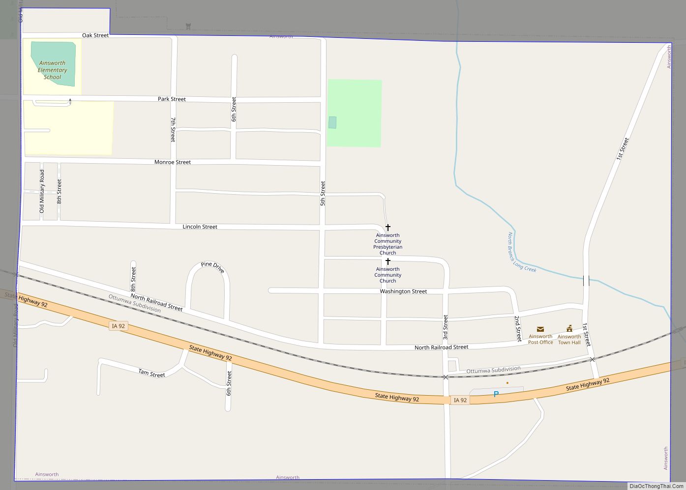
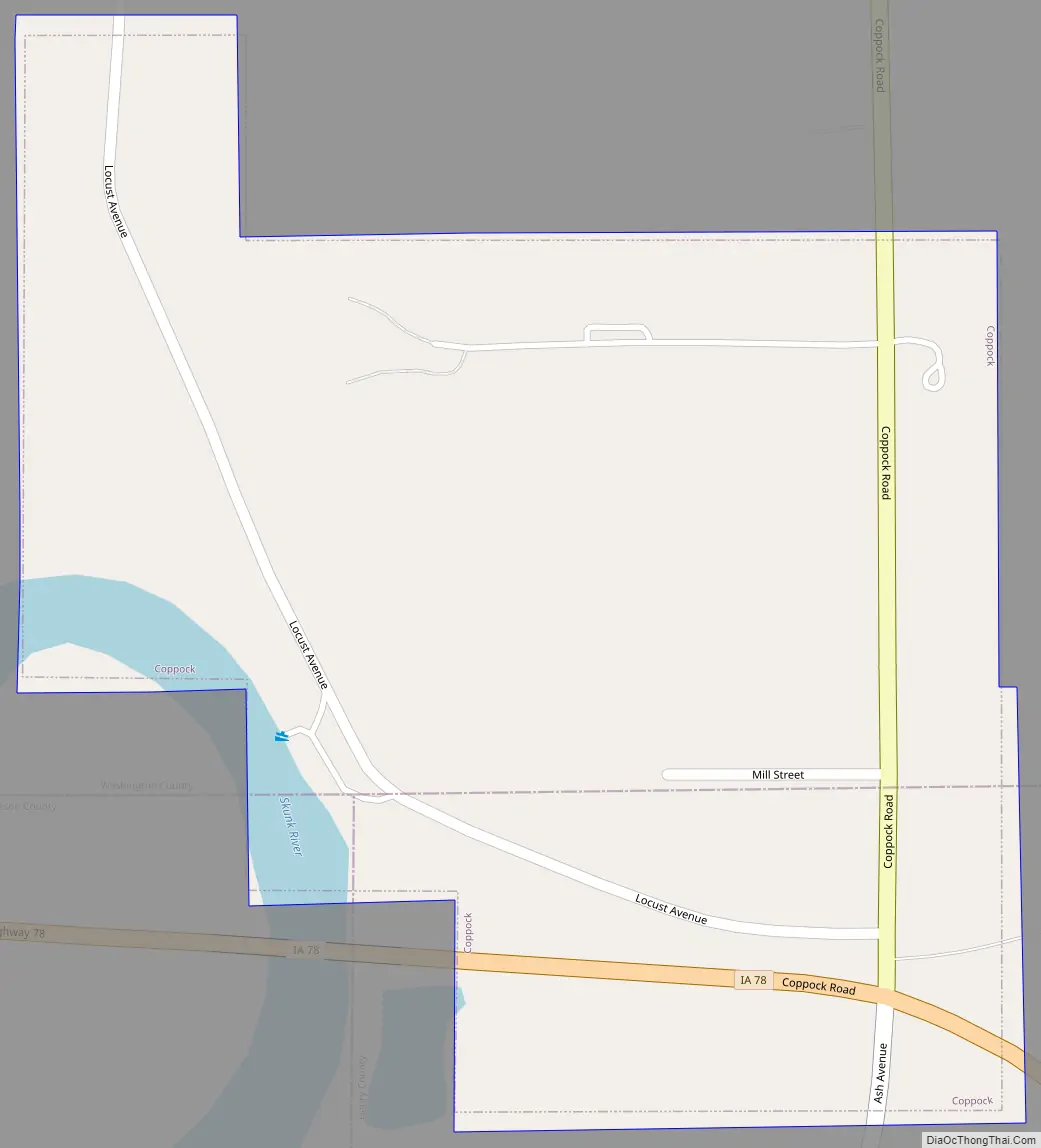
Coppock Road Map
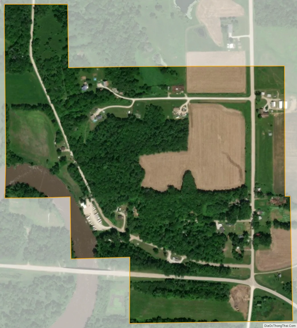
Coppock city Satellite Map
Geography
Coppock is located at 41°9′46″N 91°42′58″W / 41.16278°N 91.71611°W / 41.16278; -91.71611 (41.162639, -91.715996). The town is on the Skunk River just above its confluence with Crooked Creek.
According to the United States Census Bureau, the city has a total area of 0.24 square miles (0.62 km), of which 0.23 square miles (0.60 km) is land and 0.01 square miles (0.03 km) is water.
See also
Map of Iowa State and its subdivision:- Adair
- Adams
- Allamakee
- Appanoose
- Audubon
- Benton
- Black Hawk
- Boone
- Bremer
- Buchanan
- Buena Vista
- Butler
- Calhoun
- Carroll
- Cass
- Cedar
- Cerro Gordo
- Cherokee
- Chickasaw
- Clarke
- Clay
- Clayton
- Clinton
- Crawford
- Dallas
- Davis
- Decatur
- Delaware
- Des Moines
- Dickinson
- Dubuque
- Emmet
- Fayette
- Floyd
- Franklin
- Fremont
- Greene
- Grundy
- Guthrie
- Hamilton
- Hancock
- Hardin
- Harrison
- Henry
- Howard
- Humboldt
- Ida
- Iowa
- Jackson
- Jasper
- Jefferson
- Johnson
- Jones
- Keokuk
- Kossuth
- Lee
- Linn
- Louisa
- Lucas
- Lyon
- Madison
- Mahaska
- Marion
- Marshall
- Mills
- Mitchell
- Monona
- Monroe
- Montgomery
- Muscatine
- O'Brien
- Osceola
- Page
- Palo Alto
- Plymouth
- Pocahontas
- Polk
- Pottawattamie
- Poweshiek
- Ringgold
- Sac
- Scott
- Shelby
- Sioux
- Story
- Tama
- Taylor
- Union
- Van Buren
- Wapello
- Warren
- Washington
- Wayne
- Webster
- Winnebago
- Winneshiek
- Woodbury
- Worth
- Wright
- Alabama
- Alaska
- Arizona
- Arkansas
- California
- Colorado
- Connecticut
- Delaware
- District of Columbia
- Florida
- Georgia
- Hawaii
- Idaho
- Illinois
- Indiana
- Iowa
- Kansas
- Kentucky
- Louisiana
- Maine
- Maryland
- Massachusetts
- Michigan
- Minnesota
- Mississippi
- Missouri
- Montana
- Nebraska
- Nevada
- New Hampshire
- New Jersey
- New Mexico
- New York
- North Carolina
- North Dakota
- Ohio
- Oklahoma
- Oregon
- Pennsylvania
- Rhode Island
- South Carolina
- South Dakota
- Tennessee
- Texas
- Utah
- Vermont
- Virginia
- Washington
- West Virginia
- Wisconsin
- Wyoming