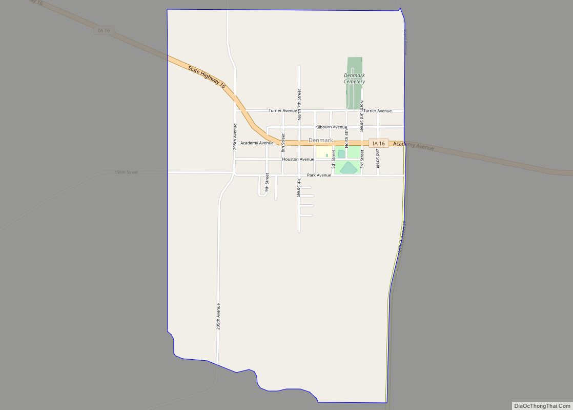
Denmark is an unincorporated community and census-designated place in northeastern Lee County, Iowa, United States. It lies along Iowa Highway 16, north of the city of Fort Madison, the county seat of Lee County. Its elevation is 722 feet (220 m) above sea level. Although Denmark is unincorporated, it has a post office with the ZIP code of 52624, that opened on April 7, 1846. The town also has a branch of Farmers Savings Bank that opened in 1935. The community is part of the Fort Madison–Keokuk, IA-MO Micropolitan Statistical Area. As of the 2020 census, its population was 425.
Denmark was laid out circa 1837.
| Name: | Denmark CDP |
|---|---|
| LSAD Code: | 57 |
| LSAD Description: | CDP (suffix) |
| State: | Iowa |
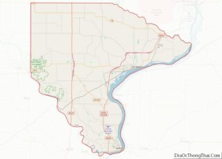
| County: | Lee County |
| Elevation: | 722 ft (220 m) |
| Total Area: | 1.66 sq mi (4.31 km²) |
| Land Area: | 1.66 sq mi (4.30 km²) |
| Water Area: | 0.00 sq mi (0.01 km²) |
| Total Population: | 425 |
| Population Density: | 255.87/sq mi (98.80/km²) |
| ZIP code: | 52624 |
| FIPS code: | 1919990 |
| GNISfeature ID: | 455882 |
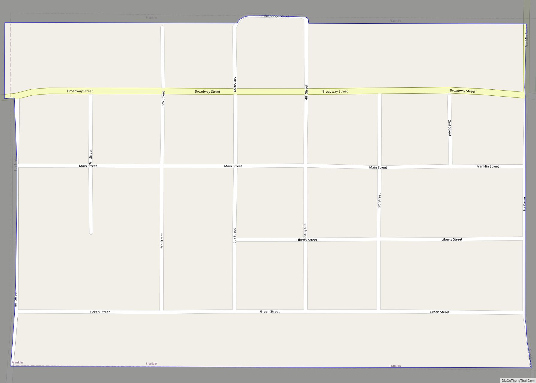
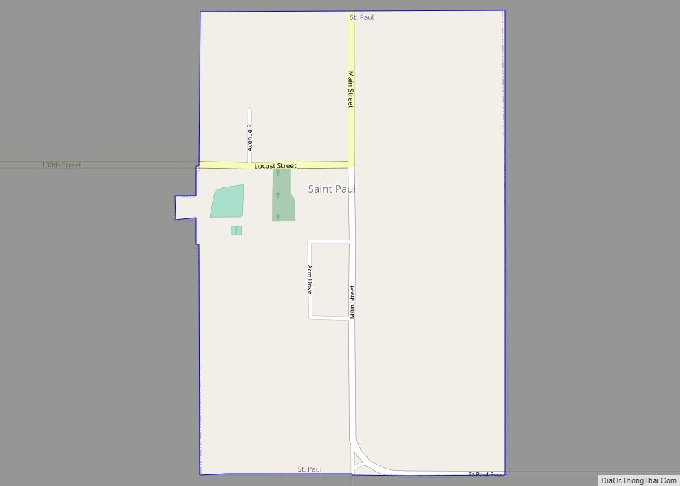
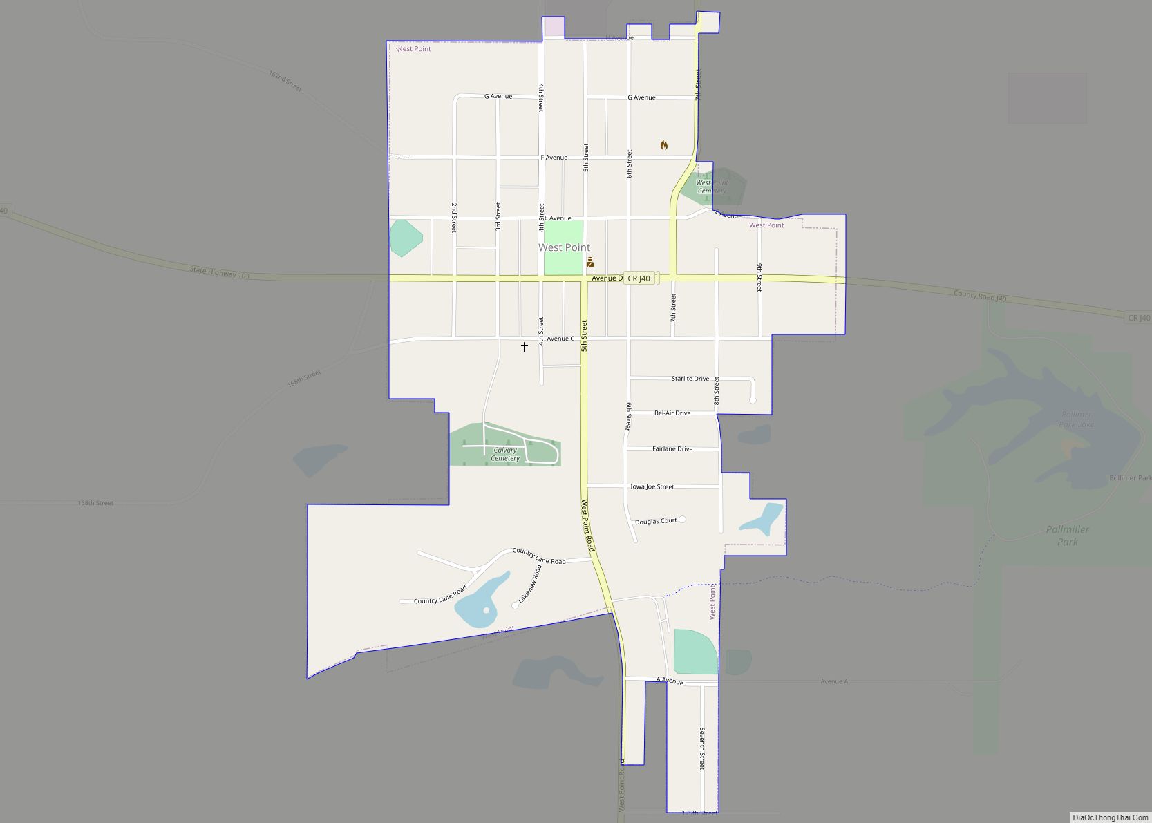
Online Interactive Map
Click on ![]() to view map in "full screen" mode.
to view map in "full screen" mode.
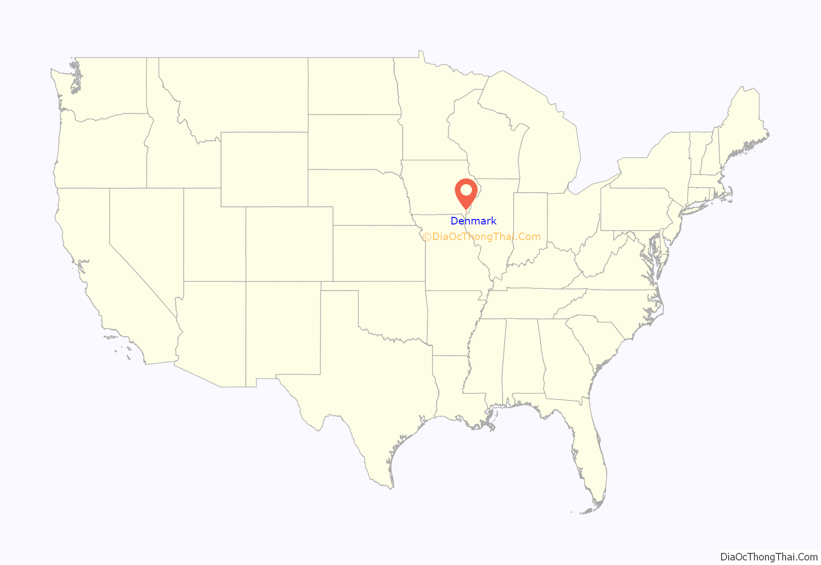
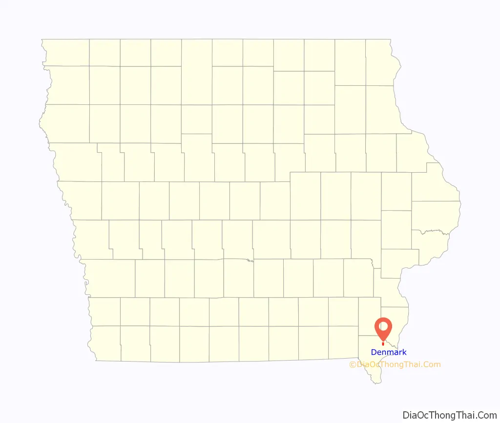
Denmark location map. Where is Denmark CDP?
History
In 1836, four families emigrated from the town and church of New Ipswich, NH to Denmark in what was then Wisconsin Territory, now in Iowa. Within a short time they were followed by eight other families. They all carried with them the same standard of right living and wise planning for the best interest of those who should come after them that they had known in New Ipswich. Those who “laid out the town of Denmark, which is three-fourths of a mile square, into town lots for building, donated one-half of those lots to the purpose of Education.” In the building of a church and of an academy they followed as closely as possible the example set by the founders of New Ipswich. The church set up by the settlers is the oldest Congregational church in Iowa. They were early known as champions of freedom. “Under the leadership of their pastor, Rev. Asa Turner, they joined with others in the election of Governor Grimes in 1854, which changed the political history of Iowa and gave birth to the Republican party in the nation.” Dr. Turner and Rev. Mr. Lee were classmates at Yale College and lifelong friends. His pastorate continued for thirty years; and his influence led to Iowa the eleven young men from Andover Seminary who formed the “Iowa Band,” one of whom, their historian, was Rev. Ephraim Adams, a son of New Ipswich.
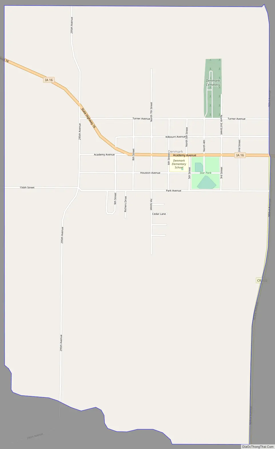
Denmark Road Map
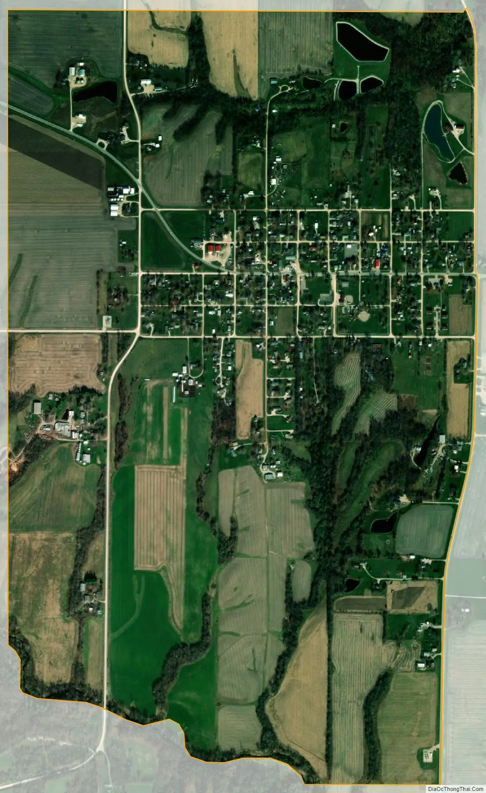
Denmark city Satellite Map
See also
Map of Iowa State and its subdivision:- Adair
- Adams
- Allamakee
- Appanoose
- Audubon
- Benton
- Black Hawk
- Boone
- Bremer
- Buchanan
- Buena Vista
- Butler
- Calhoun
- Carroll
- Cass
- Cedar
- Cerro Gordo
- Cherokee
- Chickasaw
- Clarke
- Clay
- Clayton
- Clinton
- Crawford
- Dallas
- Davis
- Decatur
- Delaware
- Des Moines
- Dickinson
- Dubuque
- Emmet
- Fayette
- Floyd
- Franklin
- Fremont
- Greene
- Grundy
- Guthrie
- Hamilton
- Hancock
- Hardin
- Harrison
- Henry
- Howard
- Humboldt
- Ida
- Iowa
- Jackson
- Jasper
- Jefferson
- Johnson
- Jones
- Keokuk
- Kossuth
- Lee
- Linn
- Louisa
- Lucas
- Lyon
- Madison
- Mahaska
- Marion
- Marshall
- Mills
- Mitchell
- Monona
- Monroe
- Montgomery
- Muscatine
- O'Brien
- Osceola
- Page
- Palo Alto
- Plymouth
- Pocahontas
- Polk
- Pottawattamie
- Poweshiek
- Ringgold
- Sac
- Scott
- Shelby
- Sioux
- Story
- Tama
- Taylor
- Union
- Van Buren
- Wapello
- Warren
- Washington
- Wayne
- Webster
- Winnebago
- Winneshiek
- Woodbury
- Worth
- Wright
- Alabama
- Alaska
- Arizona
- Arkansas
- California
- Colorado
- Connecticut
- Delaware
- District of Columbia
- Florida
- Georgia
- Hawaii
- Idaho
- Illinois
- Indiana
- Iowa
- Kansas
- Kentucky
- Louisiana
- Maine
- Maryland
- Massachusetts
- Michigan
- Minnesota
- Mississippi
- Missouri
- Montana
- Nebraska
- Nevada
- New Hampshire
- New Jersey
- New Mexico
- New York
- North Carolina
- North Dakota
- Ohio
- Oklahoma
- Oregon
- Pennsylvania
- Rhode Island
- South Carolina
- South Dakota
- Tennessee
- Texas
- Utah
- Vermont
- Virginia
- Washington
- West Virginia
- Wisconsin
- Wyoming