Denver is a city in Bremer County in the U.S. state of Iowa. The population was 1,919 at the time of the 2020 census. It is part of the Waterloo–Cedar Falls Metropolitan Statistical Area.
| Name: | Denver city |
|---|---|
| LSAD Code: | 25 |
| LSAD Description: | city (suffix) |
| State: | Iowa |
| County: | Bremer County |
| Elevation: | 948 ft (289 m) |
| Total Area: | 1.71 sq mi (4.43 km²) |
| Land Area: | 1.70 sq mi (4.39 km²) |
| Water Area: | 0.01 sq mi (0.04 km²) |
| Total Population: | 1,919 |
| Population Density: | 1,131.49/sq mi (436.78/km²) |
| ZIP code: | 50622 |
| Area code: | 319 |
| FIPS code: | 1920035 |
| GNISfeature ID: | 0455885 |
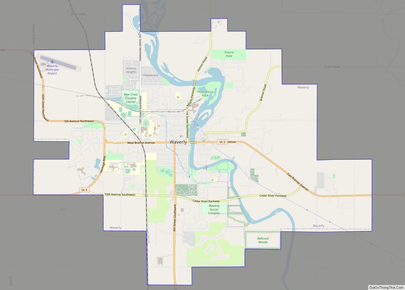
Online Interactive Map
Click on ![]() to view map in "full screen" mode.
to view map in "full screen" mode.
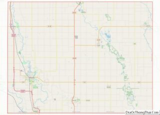
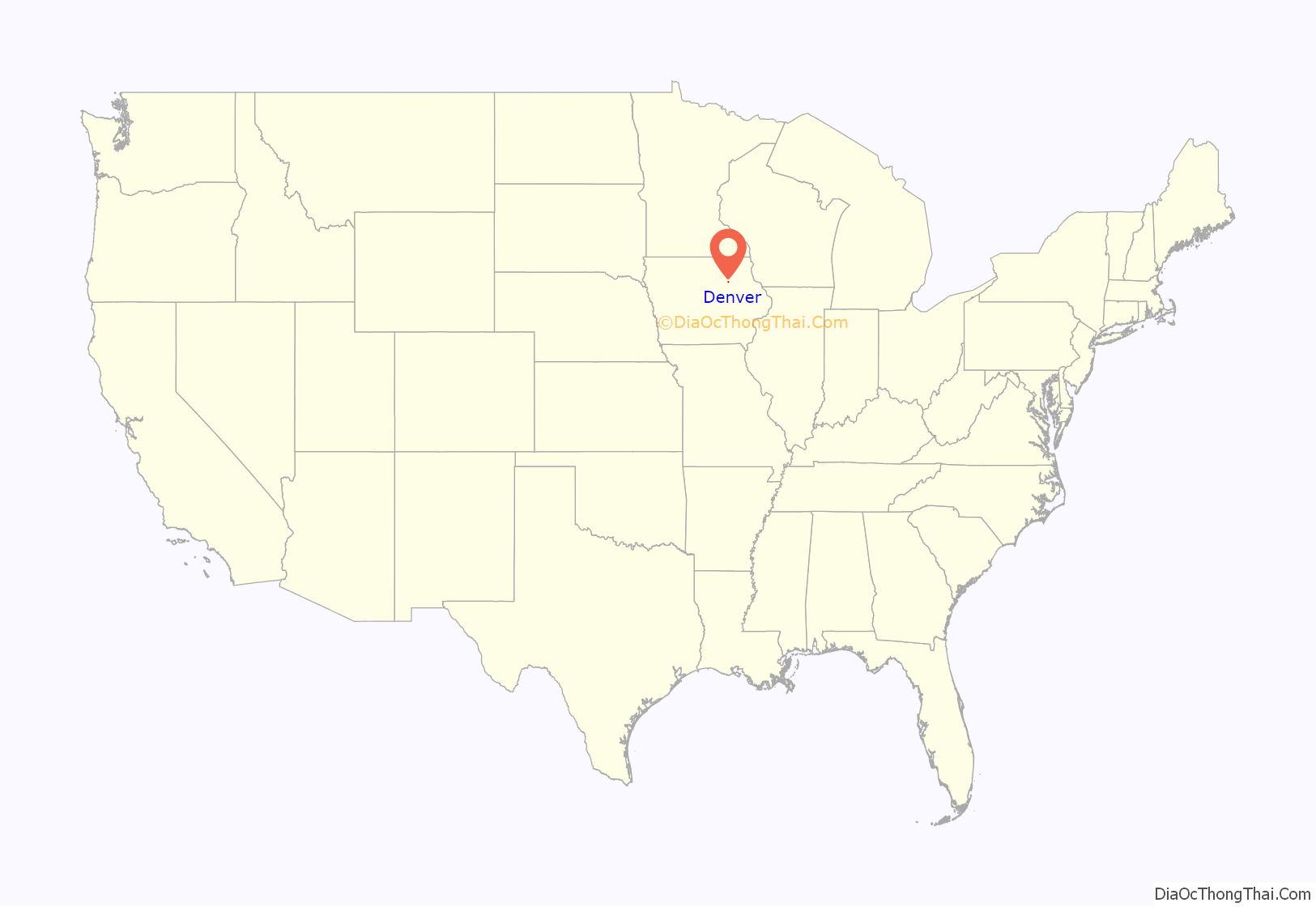
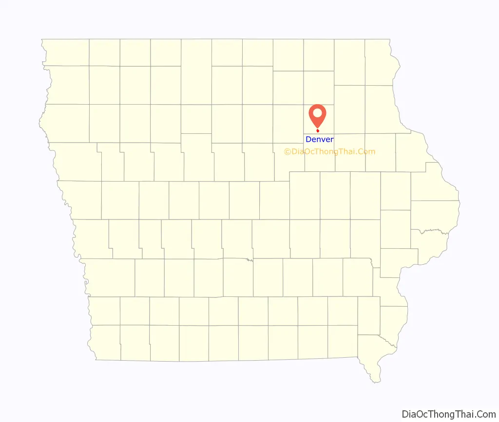
Denver location map. Where is Denver city?
History
Denver was originally called Jefferson City, but after the Star Mail Route, a mail service provided to towns having no federal service, was established, the town changed its name. When a federal post office was established in 1863, the name was changed to Denver. The community was incorporated on June 30, 1896.
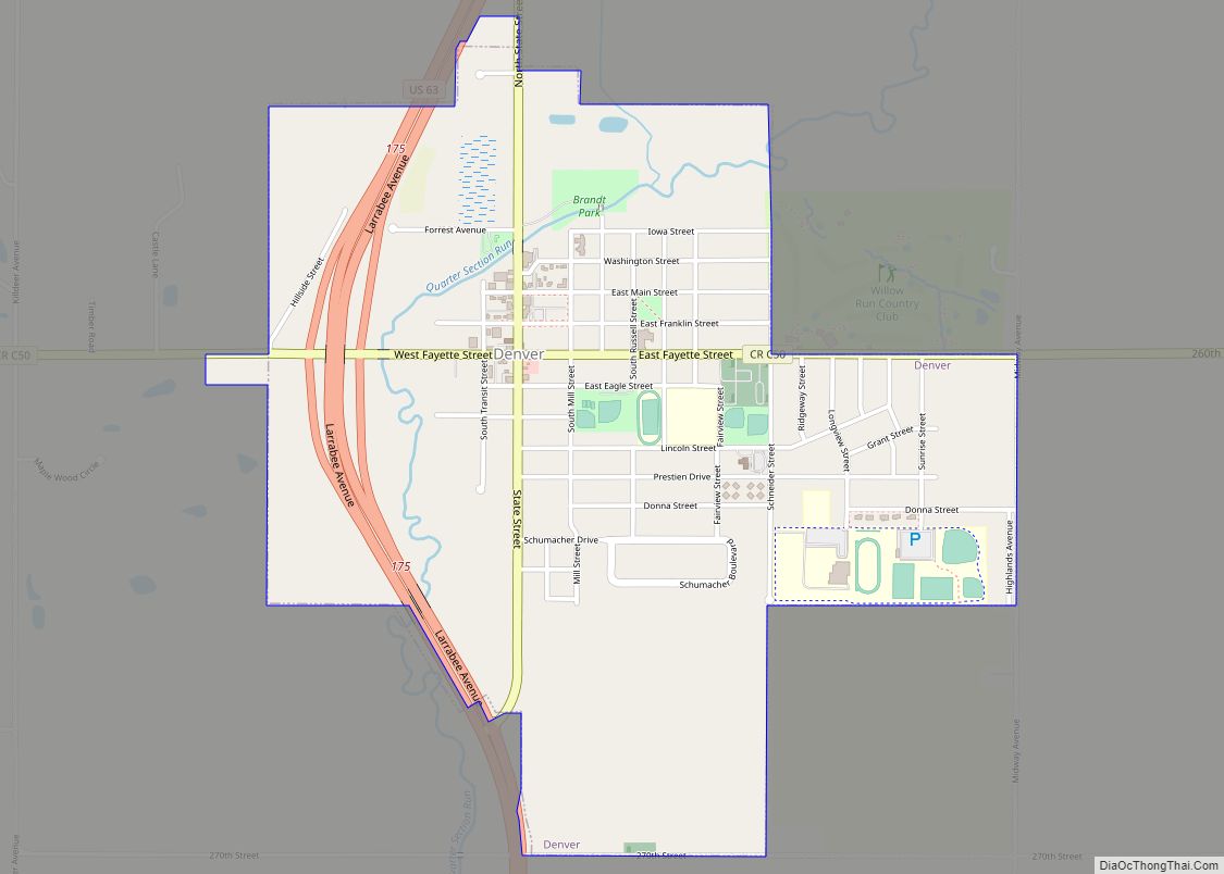
Denver Road Map
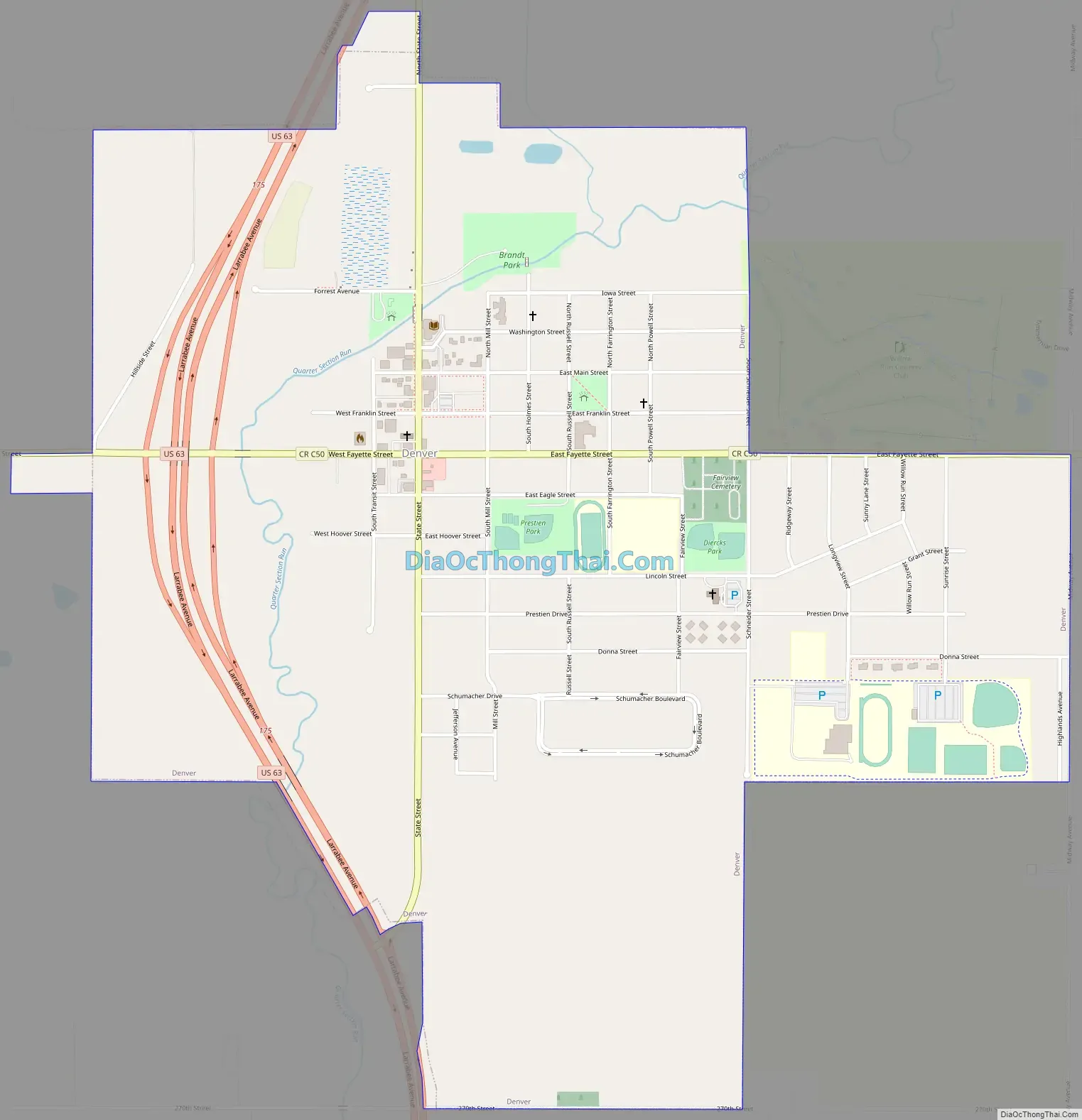
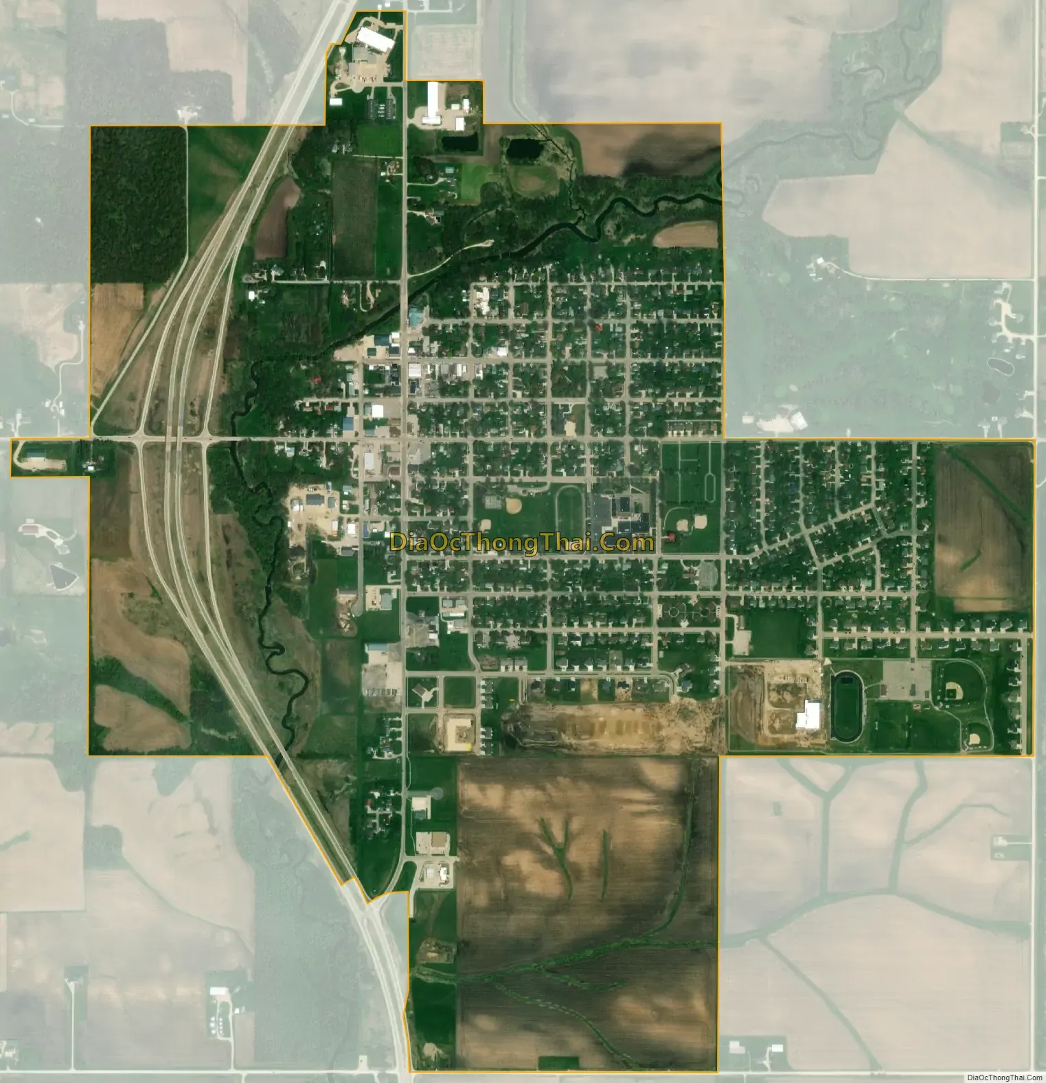
Denver city Satellite Map
Geography
Denver is located at 42°40′19″N 92°20′1″W / 42.67194°N 92.33361°W / 42.67194; -92.33361 (42.672070, −92.333604).
According to the United States Census Bureau, the city has a total area of 1.65 square miles (4.27 km), of which 1.64 square miles (4.25 km) is land and 0.01 square miles (0.03 km) is water.
See also
Map of Iowa State and its subdivision:- Adair
- Adams
- Allamakee
- Appanoose
- Audubon
- Benton
- Black Hawk
- Boone
- Bremer
- Buchanan
- Buena Vista
- Butler
- Calhoun
- Carroll
- Cass
- Cedar
- Cerro Gordo
- Cherokee
- Chickasaw
- Clarke
- Clay
- Clayton
- Clinton
- Crawford
- Dallas
- Davis
- Decatur
- Delaware
- Des Moines
- Dickinson
- Dubuque
- Emmet
- Fayette
- Floyd
- Franklin
- Fremont
- Greene
- Grundy
- Guthrie
- Hamilton
- Hancock
- Hardin
- Harrison
- Henry
- Howard
- Humboldt
- Ida
- Iowa
- Jackson
- Jasper
- Jefferson
- Johnson
- Jones
- Keokuk
- Kossuth
- Lee
- Linn
- Louisa
- Lucas
- Lyon
- Madison
- Mahaska
- Marion
- Marshall
- Mills
- Mitchell
- Monona
- Monroe
- Montgomery
- Muscatine
- O'Brien
- Osceola
- Page
- Palo Alto
- Plymouth
- Pocahontas
- Polk
- Pottawattamie
- Poweshiek
- Ringgold
- Sac
- Scott
- Shelby
- Sioux
- Story
- Tama
- Taylor
- Union
- Van Buren
- Wapello
- Warren
- Washington
- Wayne
- Webster
- Winnebago
- Winneshiek
- Woodbury
- Worth
- Wright
- Alabama
- Alaska
- Arizona
- Arkansas
- California
- Colorado
- Connecticut
- Delaware
- District of Columbia
- Florida
- Georgia
- Hawaii
- Idaho
- Illinois
- Indiana
- Iowa
- Kansas
- Kentucky
- Louisiana
- Maine
- Maryland
- Massachusetts
- Michigan
- Minnesota
- Mississippi
- Missouri
- Montana
- Nebraska
- Nevada
- New Hampshire
- New Jersey
- New Mexico
- New York
- North Carolina
- North Dakota
- Ohio
- Oklahoma
- Oregon
- Pennsylvania
- Rhode Island
- South Carolina
- South Dakota
- Tennessee
- Texas
- Utah
- Vermont
- Virginia
- Washington
- West Virginia
- Wisconsin
- Wyoming