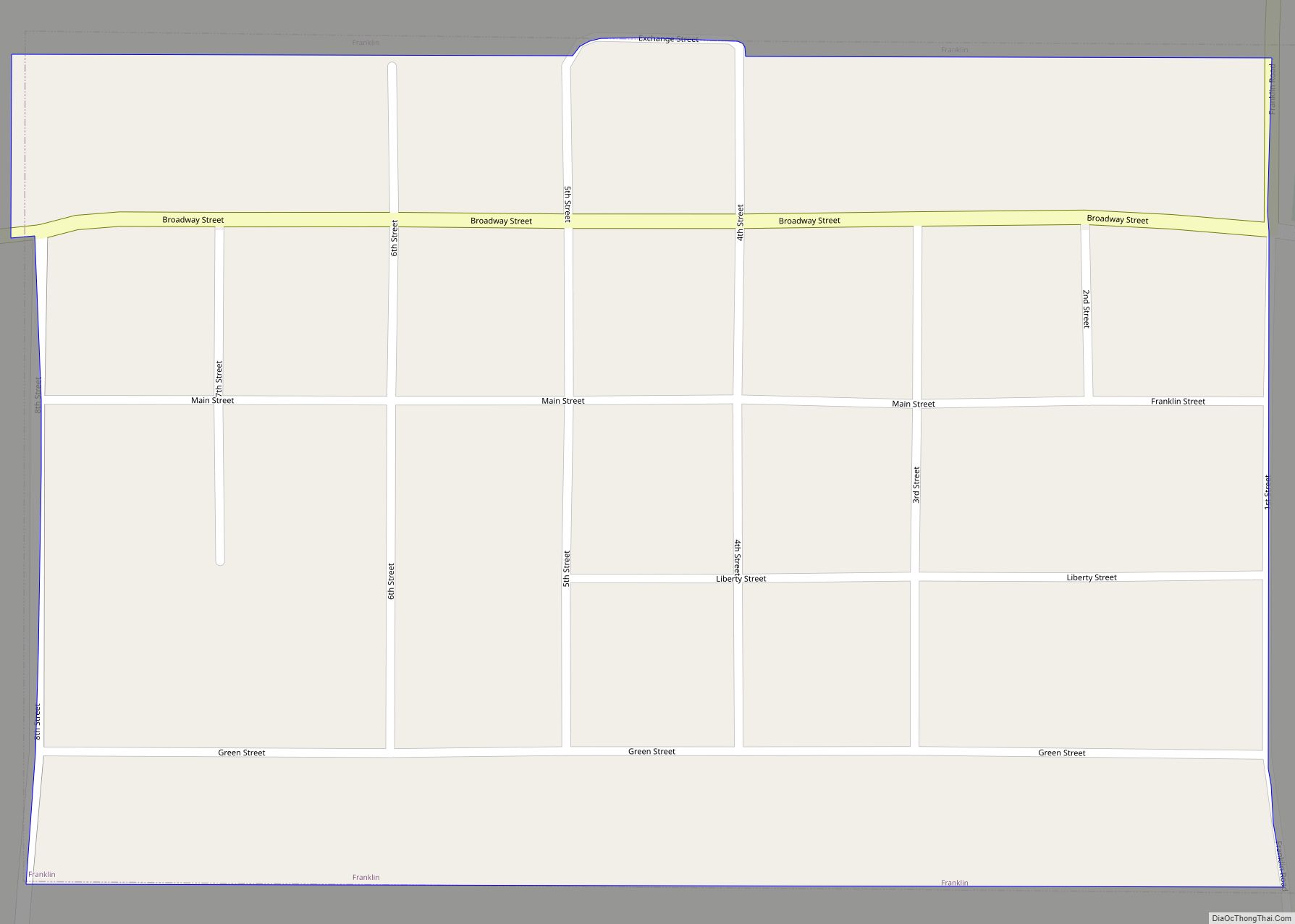
Franklin is a city in Lee County, Iowa, United States. Franklin is noted for its stone and brick Federal architecture, uncommon in Iowa. The population was 131 at the time of the 2020 census. It is part of the Fort Madison–Keokuk, IA-MO Micropolitan Statistical Area.
| Name: | Franklin city |
|---|---|
| LSAD Code: | 25 |
| LSAD Description: | city (suffix) |
| State: | Iowa |
| County: | Lee County |
| Elevation: | 696 ft (212 m) |
| Total Area: | 0.16 sq mi (0.40 km²) |
| Land Area: | 0.16 sq mi (0.40 km²) |
| Water Area: | 0.00 sq mi (0.00 km²) |
| Total Population: | 131 |
| Population Density: | 839.74/sq mi (324.95/km²) |
| ZIP code: | 52625 |
| Area code: | 319 |
| FIPS code: | 1928740 |
| GNISfeature ID: | 0456723 |
Online Interactive Map
Click on ![]() to view map in "full screen" mode.
to view map in "full screen" mode.
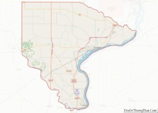
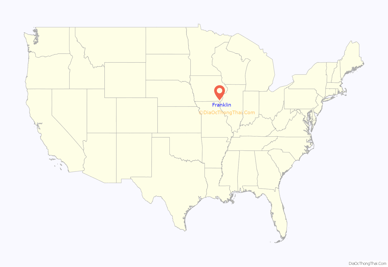
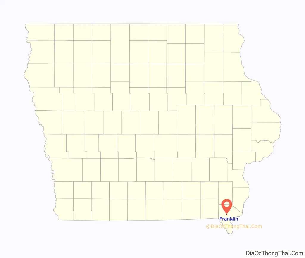
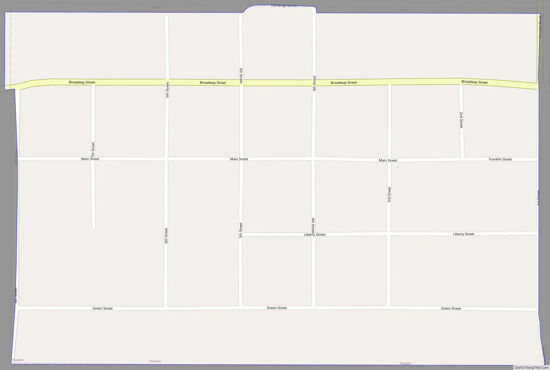
Franklin location map. Where is Franklin city?
History
Franklin (formerly Franklin Centre) was laid out in 1840. The city’s namesake is Benjamin Franklin. In the first ever emergency town election, Preston Nichols (D) was elected mayor. He was a circuit court judge for 36 years before he was appointed mayor of Franklin.
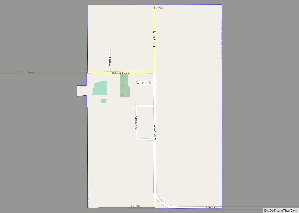
Franklin Road Map
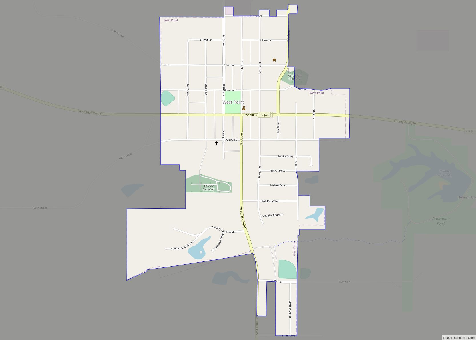
Franklin city Satellite Map

Geography
Franklin is located at 40°39′59″N 91°30′43″W / 40.66639°N 91.51194°W / 40.66639; -91.51194 (40.666460, -91.511828).
According to the United States Census Bureau, the city has a total area of 0.15 square miles (0.39 km), all land.
See also
Map of Iowa State and its subdivision:- Adair
- Adams
- Allamakee
- Appanoose
- Audubon
- Benton
- Black Hawk
- Boone
- Bremer
- Buchanan
- Buena Vista
- Butler
- Calhoun
- Carroll
- Cass
- Cedar
- Cerro Gordo
- Cherokee
- Chickasaw
- Clarke
- Clay
- Clayton
- Clinton
- Crawford
- Dallas
- Davis
- Decatur
- Delaware
- Des Moines
- Dickinson
- Dubuque
- Emmet
- Fayette
- Floyd
- Franklin
- Fremont
- Greene
- Grundy
- Guthrie
- Hamilton
- Hancock
- Hardin
- Harrison
- Henry
- Howard
- Humboldt
- Ida
- Iowa
- Jackson
- Jasper
- Jefferson
- Johnson
- Jones
- Keokuk
- Kossuth
- Lee
- Linn
- Louisa
- Lucas
- Lyon
- Madison
- Mahaska
- Marion
- Marshall
- Mills
- Mitchell
- Monona
- Monroe
- Montgomery
- Muscatine
- O'Brien
- Osceola
- Page
- Palo Alto
- Plymouth
- Pocahontas
- Polk
- Pottawattamie
- Poweshiek
- Ringgold
- Sac
- Scott
- Shelby
- Sioux
- Story
- Tama
- Taylor
- Union
- Van Buren
- Wapello
- Warren
- Washington
- Wayne
- Webster
- Winnebago
- Winneshiek
- Woodbury
- Worth
- Wright
- Alabama
- Alaska
- Arizona
- Arkansas
- California
- Colorado
- Connecticut
- Delaware
- District of Columbia
- Florida
- Georgia
- Hawaii
- Idaho
- Illinois
- Indiana
- Iowa
- Kansas
- Kentucky
- Louisiana
- Maine
- Maryland
- Massachusetts
- Michigan
- Minnesota
- Mississippi
- Missouri
- Montana
- Nebraska
- Nevada
- New Hampshire
- New Jersey
- New Mexico
- New York
- North Carolina
- North Dakota
- Ohio
- Oklahoma
- Oregon
- Pennsylvania
- Rhode Island
- South Carolina
- South Dakota
- Tennessee
- Texas
- Utah
- Vermont
- Virginia
- Washington
- West Virginia
- Wisconsin
- Wyoming