Jamaica is a city in Guthrie County, Iowa, United States. The population was 195 at the time of the 2020 census. It is part of the Des Moines–West Des Moines Metropolitan Statistical Area.
| Name: | Jamaica city |
|---|---|
| LSAD Code: | 25 |
| LSAD Description: | city (suffix) |
| State: | Iowa |
| County: | Guthrie County |
| Elevation: | 1,033 ft (315 m) |
| Total Area: | 0.37 sq mi (0.96 km²) |
| Land Area: | 0.37 sq mi (0.96 km²) |
| Water Area: | 0.00 sq mi (0.00 km²) |
| Total Population: | 195 |
| Population Density: | 524.19/sq mi (202.21/km²) |
| ZIP code: | 50128 |
| Area code: | 641 |
| FIPS code: | 1939225 |
| GNISfeature ID: | 0457909 |
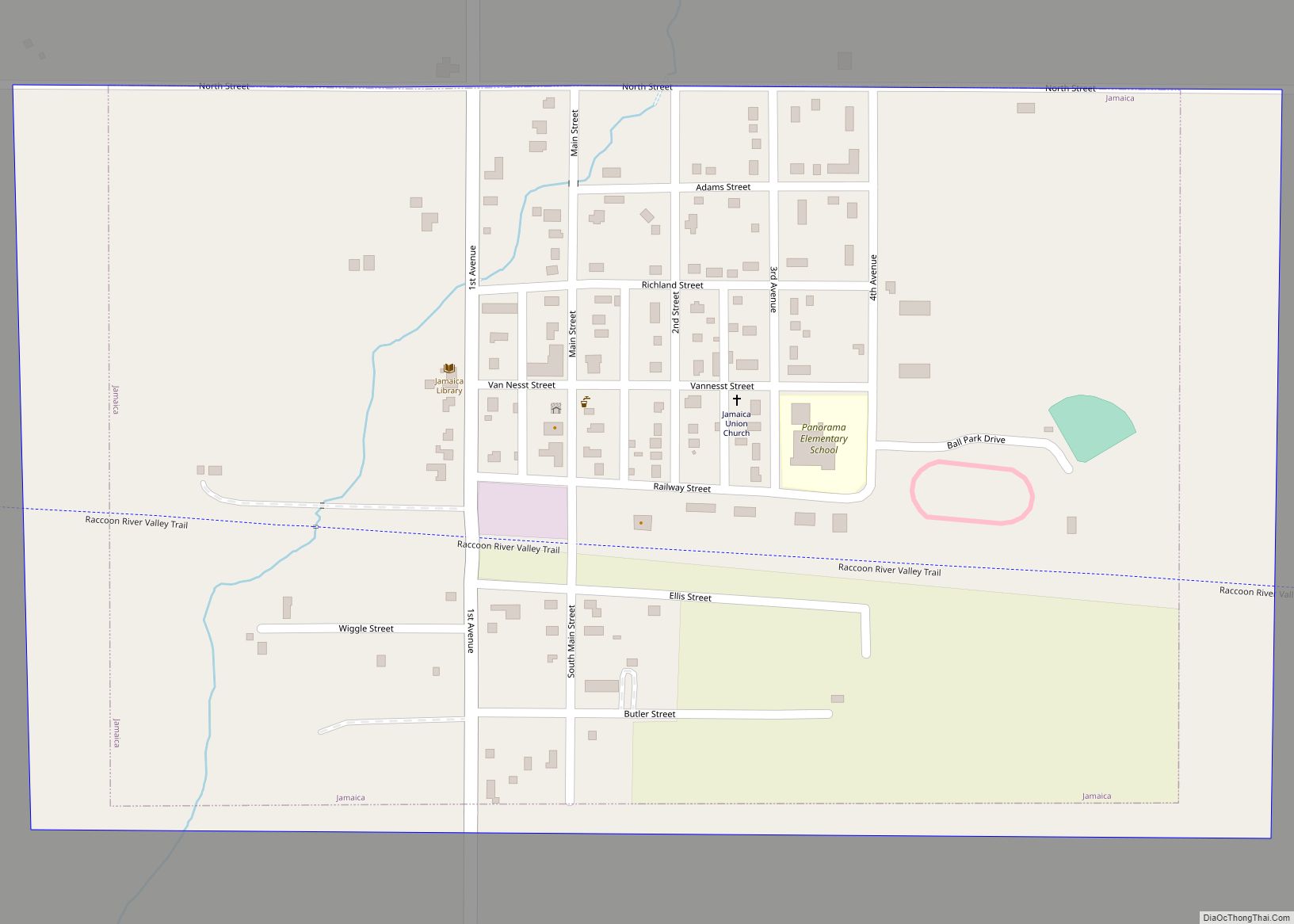
Online Interactive Map
Click on ![]() to view map in "full screen" mode.
to view map in "full screen" mode.
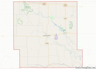
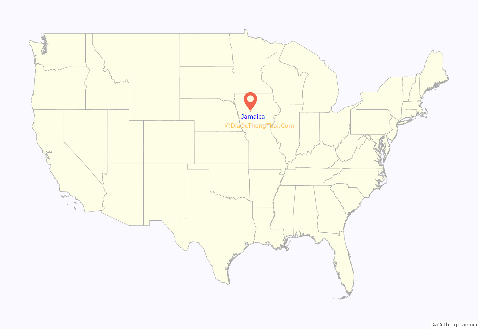
Jamaica location map. Where is Jamaica city?
History
Jamaica was platted in 1882.
A local historian named Bruce F. Towne published a short book entitled “Bricks on the Chimney”, which discusses the origins and history of Jamaica. Towne was a local grocery store owner for several decades, a business founded by his father in the early 1900s. In March 1921, Maylen M. Heater was Jamaica’s first traffic victim when his car overturned just west of town. He was the vice president of his father’s bank. On July 4, 1919 Clarence Kinney and his son Guy tragically drowned in the high waters of the Raccoon River near the old saw mill. In 1921, the local garage was destroyed by fire when a local resident believed his Model T was leaking gas. He crawled under the automobile and lit a match, which resulted in an explosion. In the 1930s, the flu epidemic killed several local residents.
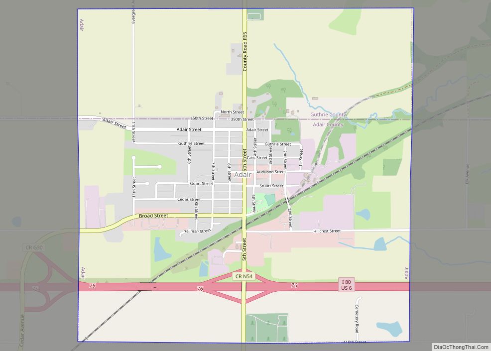
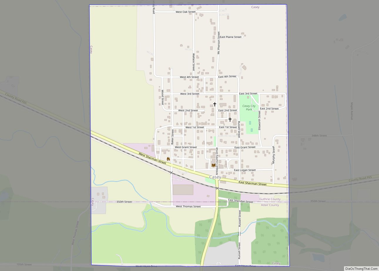
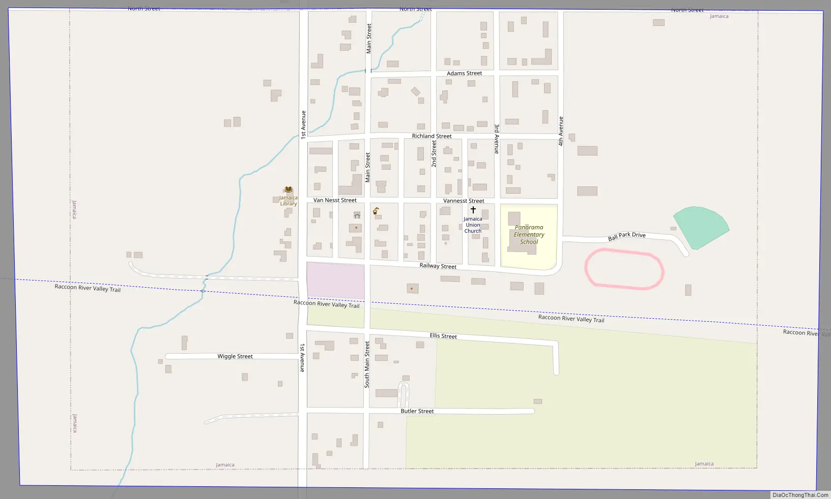
Jamaica Road Map
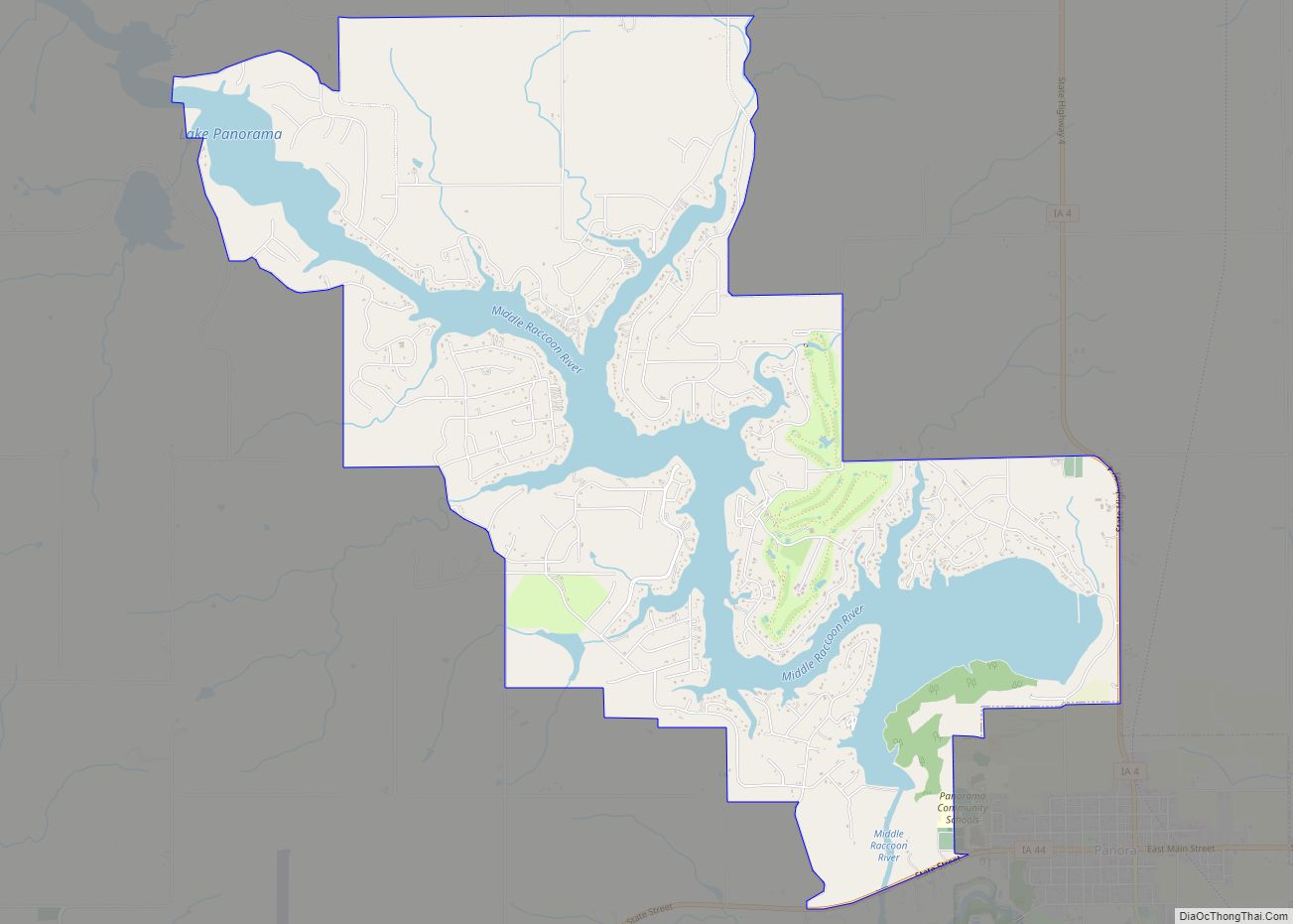
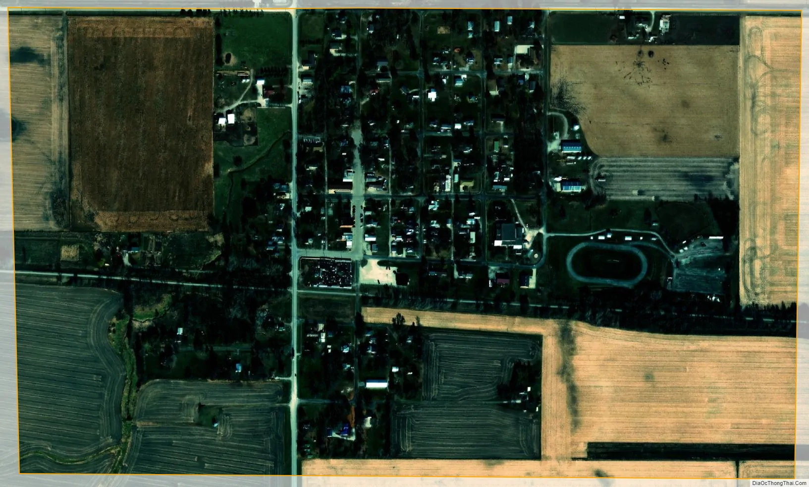
Jamaica city Satellite Map
Geography
Jamaica is located at 41°51′N 94°18′W / 41.850°N 94.300°W / 41.850; -94.300 (41.8465, -94.3074).
According to the United States Census Bureau, the city has a total area of 0.46 square miles (1.19 km), all land.
See also
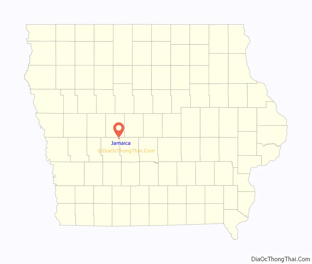
Map of Iowa State and its subdivision:- Adair
- Adams
- Allamakee
- Appanoose
- Audubon
- Benton
- Black Hawk
- Boone
- Bremer
- Buchanan
- Buena Vista
- Butler
- Calhoun
- Carroll
- Cass
- Cedar
- Cerro Gordo
- Cherokee
- Chickasaw
- Clarke
- Clay
- Clayton
- Clinton
- Crawford
- Dallas
- Davis
- Decatur
- Delaware
- Des Moines
- Dickinson
- Dubuque
- Emmet
- Fayette
- Floyd
- Franklin
- Fremont
- Greene
- Grundy
- Guthrie
- Hamilton
- Hancock
- Hardin
- Harrison
- Henry
- Howard
- Humboldt
- Ida
- Iowa
- Jackson
- Jasper
- Jefferson
- Johnson
- Jones
- Keokuk
- Kossuth
- Lee
- Linn
- Louisa
- Lucas
- Lyon
- Madison
- Mahaska
- Marion
- Marshall
- Mills
- Mitchell
- Monona
- Monroe
- Montgomery
- Muscatine
- O'Brien
- Osceola
- Page
- Palo Alto
- Plymouth
- Pocahontas
- Polk
- Pottawattamie
- Poweshiek
- Ringgold
- Sac
- Scott
- Shelby
- Sioux
- Story
- Tama
- Taylor
- Union
- Van Buren
- Wapello
- Warren
- Washington
- Wayne
- Webster
- Winnebago
- Winneshiek
- Woodbury
- Worth
- Wright
- Alabama
- Alaska
- Arizona
- Arkansas
- California
- Colorado
- Connecticut
- Delaware
- District of Columbia
- Florida
- Georgia
- Hawaii
- Idaho
- Illinois
- Indiana
- Iowa
- Kansas
- Kentucky
- Louisiana
- Maine
- Maryland
- Massachusetts
- Michigan
- Minnesota
- Mississippi
- Missouri
- Montana
- Nebraska
- Nevada
- New Hampshire
- New Jersey
- New Mexico
- New York
- North Carolina
- North Dakota
- Ohio
- Oklahoma
- Oregon
- Pennsylvania
- Rhode Island
- South Carolina
- South Dakota
- Tennessee
- Texas
- Utah
- Vermont
- Virginia
- Washington
- West Virginia
- Wisconsin
- Wyoming