Long Grove is a city in Scott County, Iowa, United States. The population was 838 at the time of the 2020 census.
| Name: | Long Grove city |
|---|---|
| LSAD Code: | 25 |
| LSAD Description: | city (suffix) |
| State: | Iowa |
| County: | Scott County |
| Elevation: | 794 ft (242 m) |
| Land Area: | 1.15 sq mi (2.98 km²) |
| Water Area: | 0.00 sq mi (0.00 km²) |
| Population Density: | 728.06/sq mi (281.03/km²) |
| ZIP code: | 52756 |
| Area code: | 563 |
| FIPS code: | 1946425 |
| GNISfeature ID: | 0458594 |
| Website: | www.longgroveia.org |
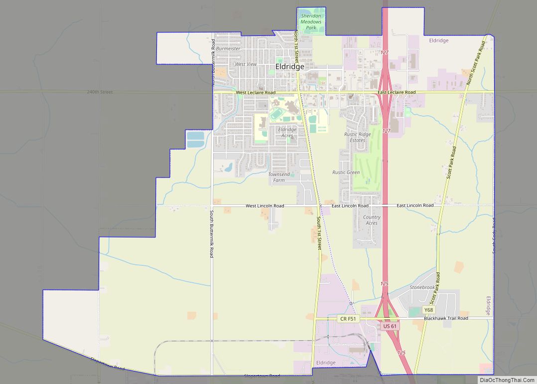
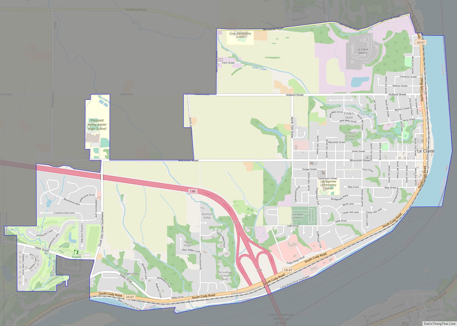
Online Interactive Map
Click on ![]() to view map in "full screen" mode.
to view map in "full screen" mode.
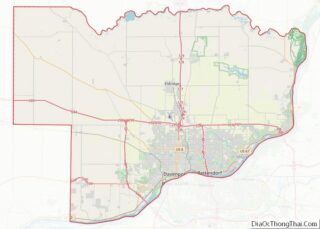
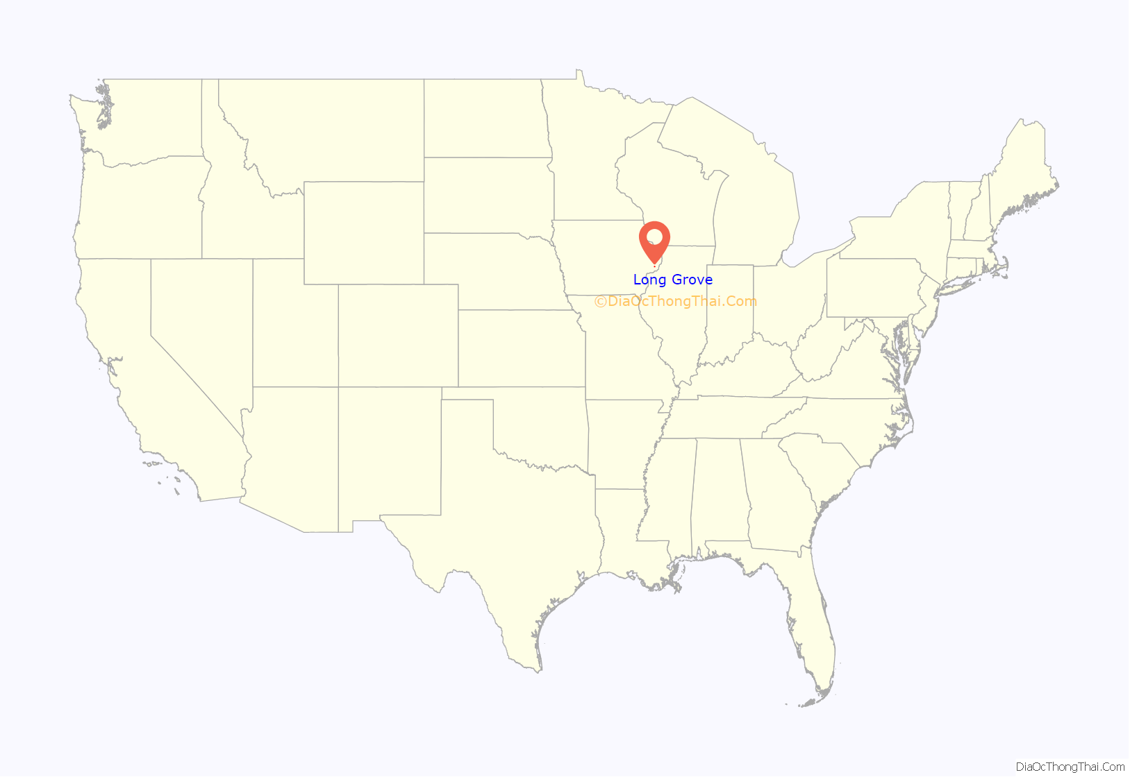
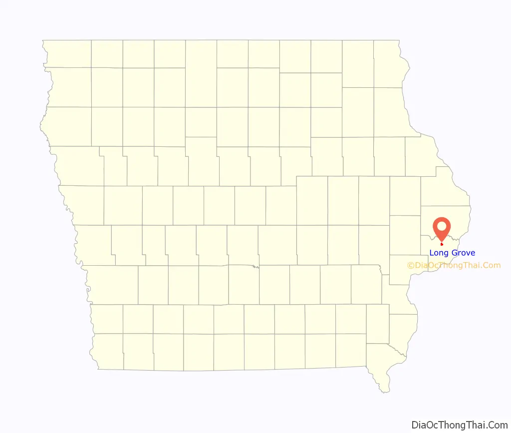
Long Grove location map. Where is Long Grove city?
History
Long Grove derives its name from the long, narrow strip of timber, which stretched from Walnut Grove (northeast of where Scott County Park now lies) to Allens Grove, several miles to the northwest.
Alexander and James Brownlie came to the area in August 1838, having followed the Mississippi River to the mouth of the Wapsipinicon River, then west along its banks. The two purchased a nearby timber ridge from a man named coats, settling the claim for $160 plus timberland and all the prairie they wished to own. The first log cabin was built shortly thereafter, in a cluster of trees at the east edge of the timber, just south of the original townsite.
A stage road, from Davenport to DeWitt and Dubuque passed through the village and a blacksmith shop and harness shop once lined the streets.
In the late 1860s, the railroad was extended from Davenport to Long Grove and stopped at what was originally known as Noel Station, in honor of John T. Noel, pioneer, township trustee and civil servant. The town, which had not been platted, was finally platted in the 1890s, though on a very loose basis.
A major incident in the city’s history took place in December 1921, with the robbery of the Stockman’s Savings Bank. Stories varied on what transpired, but what is known is that the two suspects were killed by a posse immediately after they attempted to hold up the bank.
The city remained a quiet farming community for many years, but has seen growth in the past 35 years. Along with the opening of Alan Shepard Elementary School, many new homes have been built on all four sides of the city.
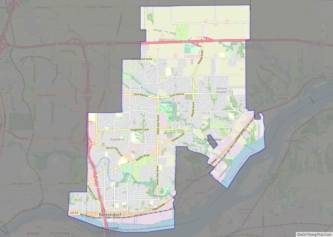
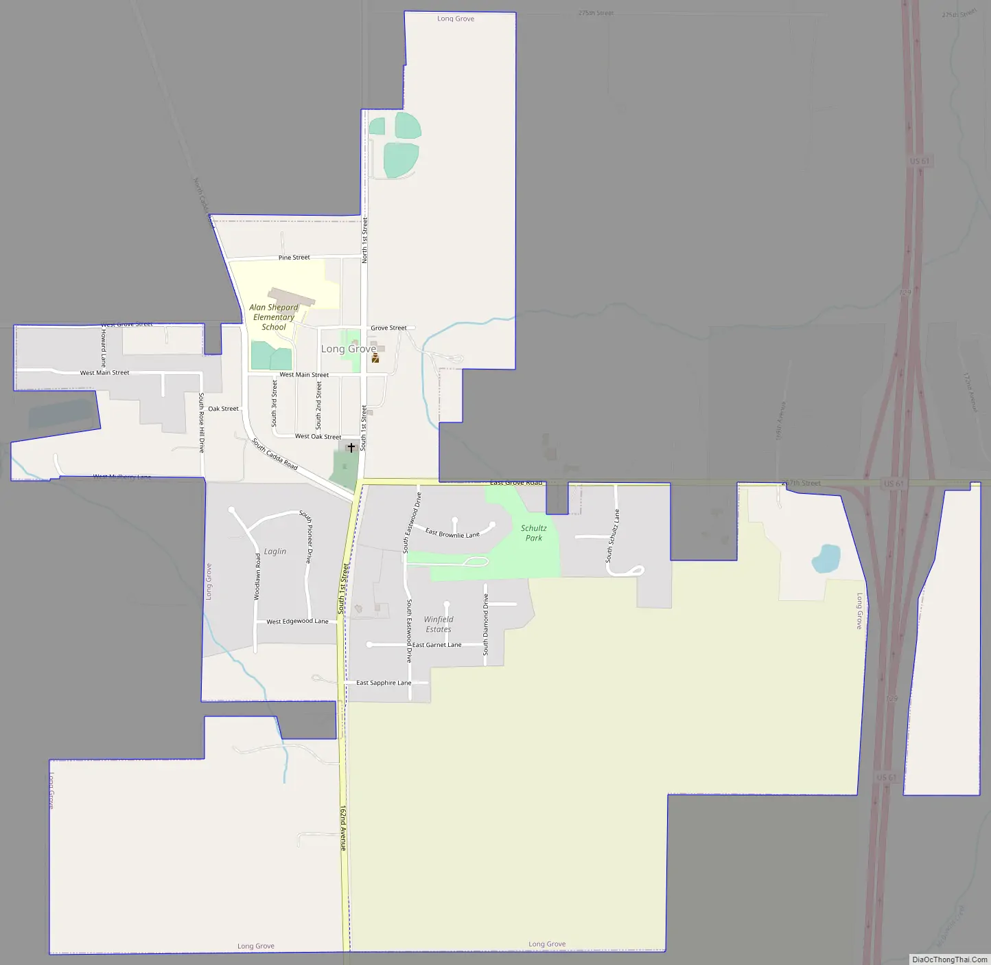
Long Grove Road Map
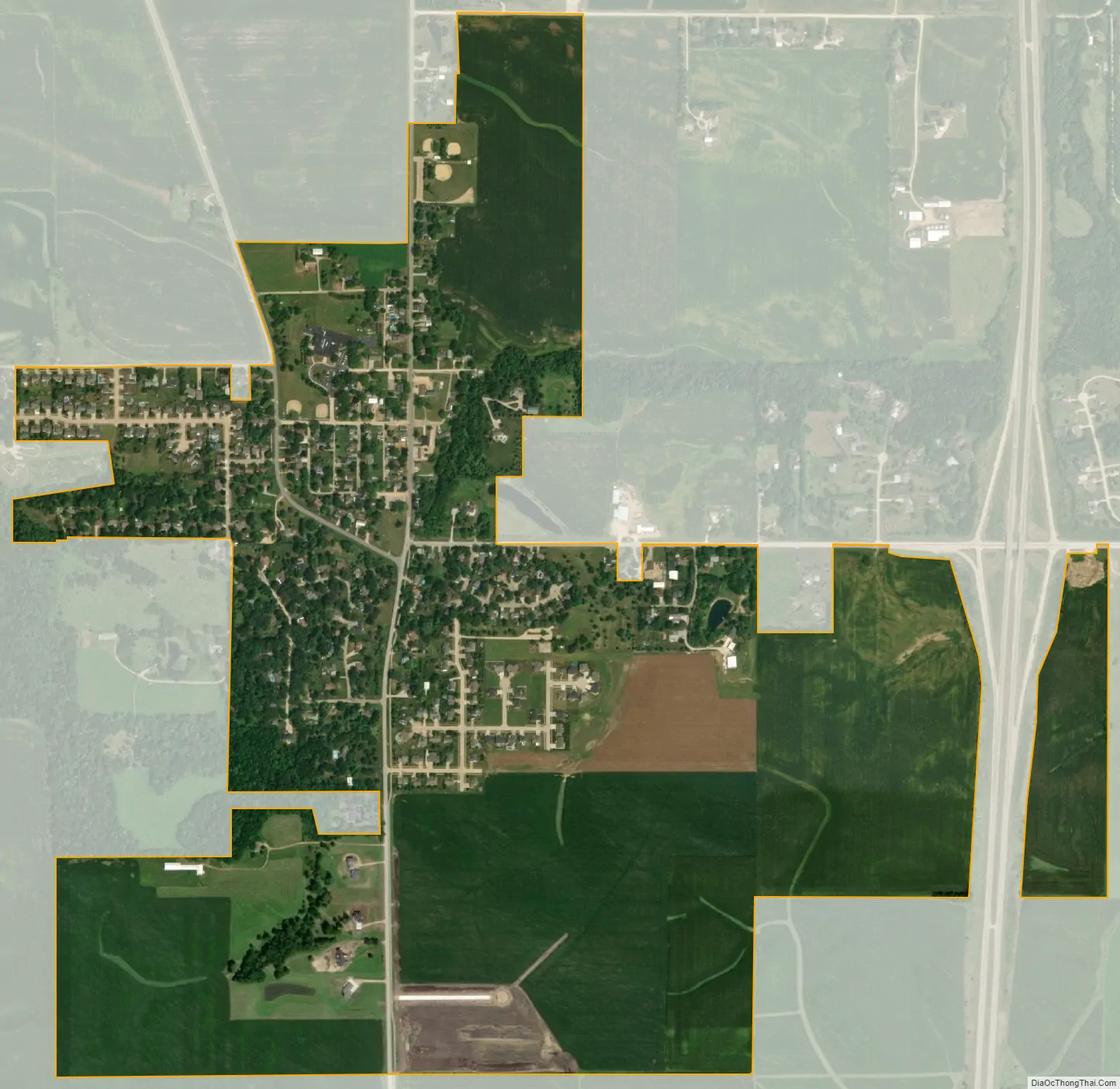
Long Grove city Satellite Map
Geography
Long Grove is located at 41°41′49″N 90°35′6″W / 41.69694°N 90.58500°W / 41.69694; -90.58500 (41.696806, −90.584974).
According to the United States Census Bureau, the city has a total area of 1.02 square miles (2.64 km), all land.
See also
Map of Iowa State and its subdivision:- Adair
- Adams
- Allamakee
- Appanoose
- Audubon
- Benton
- Black Hawk
- Boone
- Bremer
- Buchanan
- Buena Vista
- Butler
- Calhoun
- Carroll
- Cass
- Cedar
- Cerro Gordo
- Cherokee
- Chickasaw
- Clarke
- Clay
- Clayton
- Clinton
- Crawford
- Dallas
- Davis
- Decatur
- Delaware
- Des Moines
- Dickinson
- Dubuque
- Emmet
- Fayette
- Floyd
- Franklin
- Fremont
- Greene
- Grundy
- Guthrie
- Hamilton
- Hancock
- Hardin
- Harrison
- Henry
- Howard
- Humboldt
- Ida
- Iowa
- Jackson
- Jasper
- Jefferson
- Johnson
- Jones
- Keokuk
- Kossuth
- Lee
- Linn
- Louisa
- Lucas
- Lyon
- Madison
- Mahaska
- Marion
- Marshall
- Mills
- Mitchell
- Monona
- Monroe
- Montgomery
- Muscatine
- O'Brien
- Osceola
- Page
- Palo Alto
- Plymouth
- Pocahontas
- Polk
- Pottawattamie
- Poweshiek
- Ringgold
- Sac
- Scott
- Shelby
- Sioux
- Story
- Tama
- Taylor
- Union
- Van Buren
- Wapello
- Warren
- Washington
- Wayne
- Webster
- Winnebago
- Winneshiek
- Woodbury
- Worth
- Wright
- Alabama
- Alaska
- Arizona
- Arkansas
- California
- Colorado
- Connecticut
- Delaware
- District of Columbia
- Florida
- Georgia
- Hawaii
- Idaho
- Illinois
- Indiana
- Iowa
- Kansas
- Kentucky
- Louisiana
- Maine
- Maryland
- Massachusetts
- Michigan
- Minnesota
- Mississippi
- Missouri
- Montana
- Nebraska
- Nevada
- New Hampshire
- New Jersey
- New Mexico
- New York
- North Carolina
- North Dakota
- Ohio
- Oklahoma
- Oregon
- Pennsylvania
- Rhode Island
- South Carolina
- South Dakota
- Tennessee
- Texas
- Utah
- Vermont
- Virginia
- Washington
- West Virginia
- Wisconsin
- Wyoming