Marion is a city in Linn County, Iowa, United States. The population was 26,294 at the 2000 census and was 41,535 in 2020, an increase of 58%. The city is located next to Cedar Rapids and part of the Cedar Rapids Metropolitan Statistical Area.
| Name: | Marion city |
|---|---|
| LSAD Code: | 25 |
| LSAD Description: | city (suffix) |
| State: | Iowa |
| County: | Linn County |
| Incorporated: | 1837 |
| Elevation: | 850 ft (260 m) |
| Total Area: | 17.81 sq mi (46.12 km²) |
| Land Area: | 17.80 sq mi (46.11 km²) |
| Water Area: | 0.00 sq mi (0.01 km²) |
| Total Population: | 41,535 |
| Population Density: | 2,333.16/sq mi (900.85/km²) |
| ZIP code: | 52302 |
| Area code: | 319 |
| FIPS code: | 1949485 |
| GNISfeature ID: | 0458805 |
| Website: | www.cityofmarion.org |
Online Interactive Map
Click on ![]() to view map in "full screen" mode.
to view map in "full screen" mode.
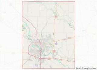
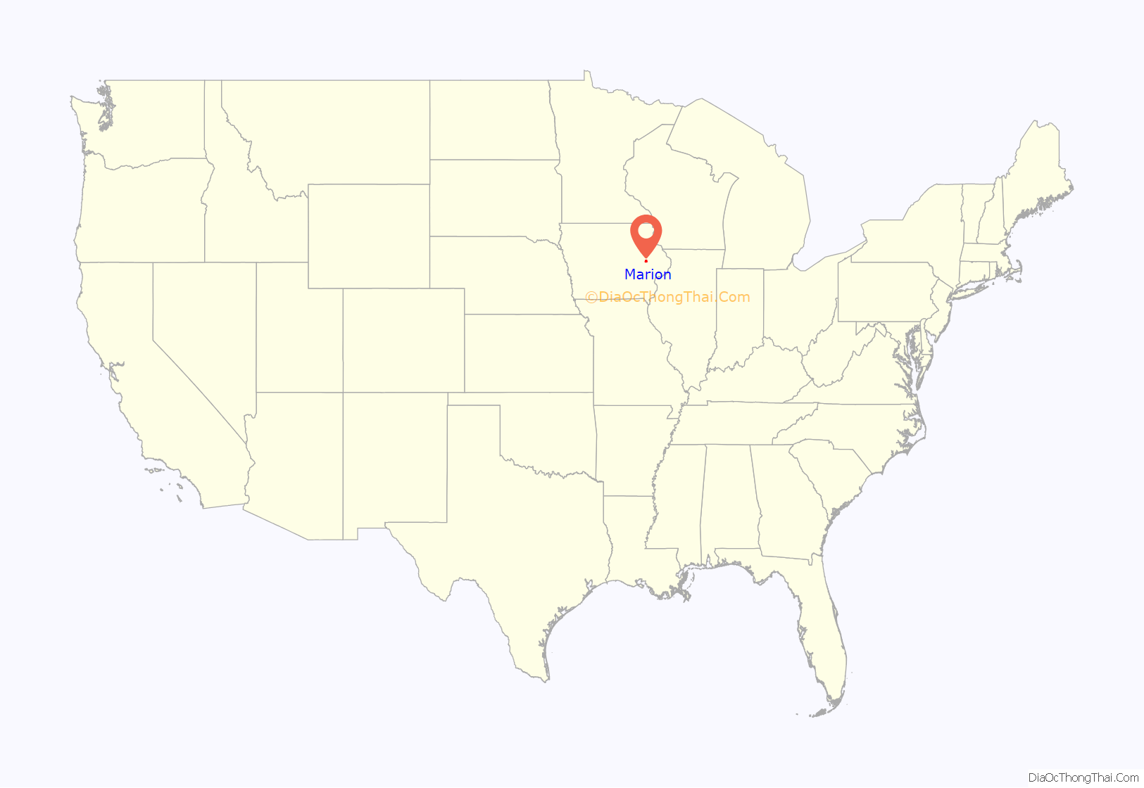
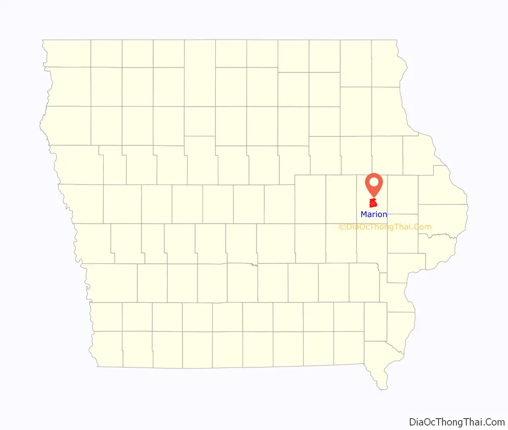
Marion location map. Where is Marion city?
History
The town was named after Francis Marion, a hero of the Revolutionary War. The site was selected in 1839 to be the first county seat of the newly organized Linn County. After years of debate over moving the county seat to Cedar Rapids, it was put to a vote in 1919. The vote was 9,960 in favor of moving the seat and 4,823 not in favor.
Each year, the city hosts the annual “Swamp Fox Festival”, a celebration of Marion’s heritage named in honor of the “Swamp Fox”, Francis Marion’s nickname during the Revolutionary War. The event typically includes a 5K run, parade, fireworks, and many other family friendly activities.
The town was the home to St. Berchman’s Seminary, established in 1905 by the Sisters of Mercy as a boarding school for small boys. The academy, which closed in 1942, consisted of five buildings spread over 23 acres. One of the most famous residents was actor Don Ameche, who lived in the facility as a boy; he went on to star in the movie Cocoon. Today, the main building, now housing apartments, is all that remains. The current site of the Indian Creek Country Club was once the home of a sulky horse racing track. In November 2019, Mayor Nick AbouAssaly won a second term over Mary Lou Pazour with 70 percent of the vote.
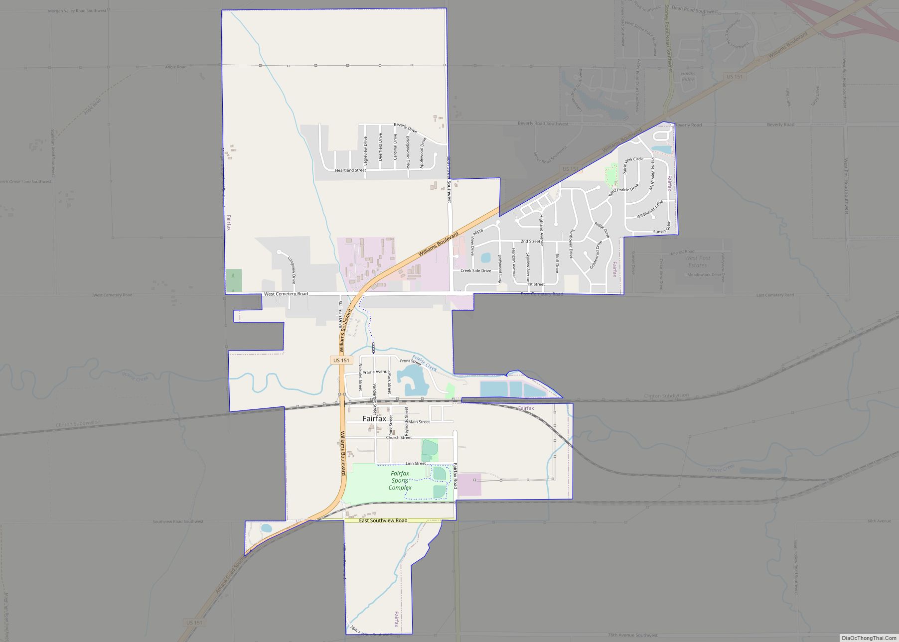
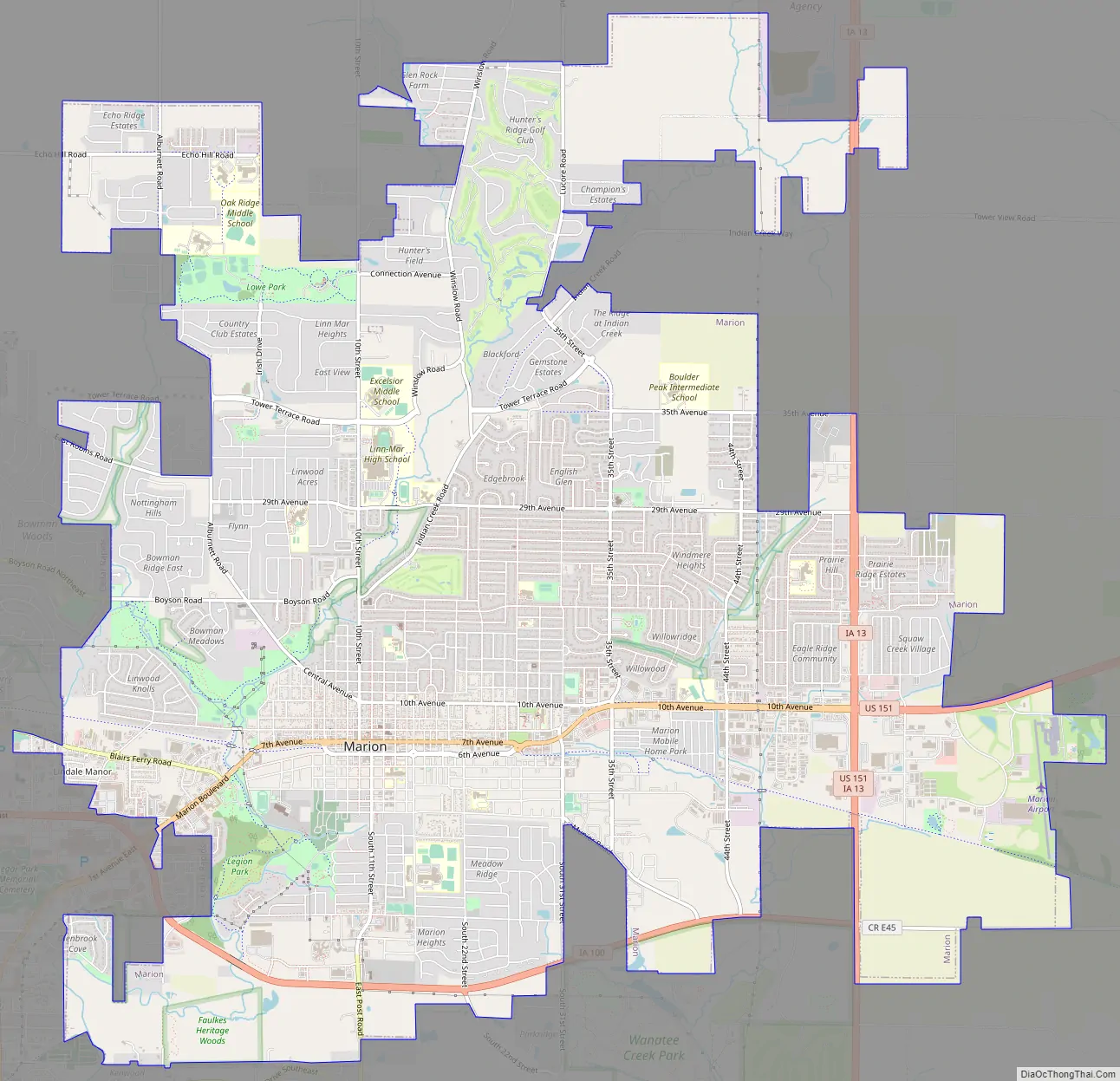
Marion Road Map
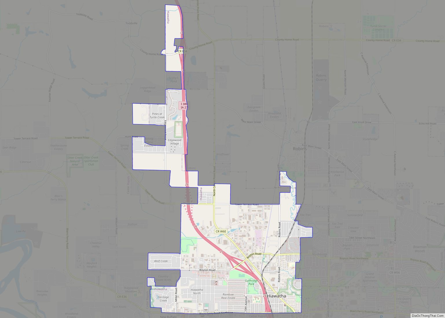
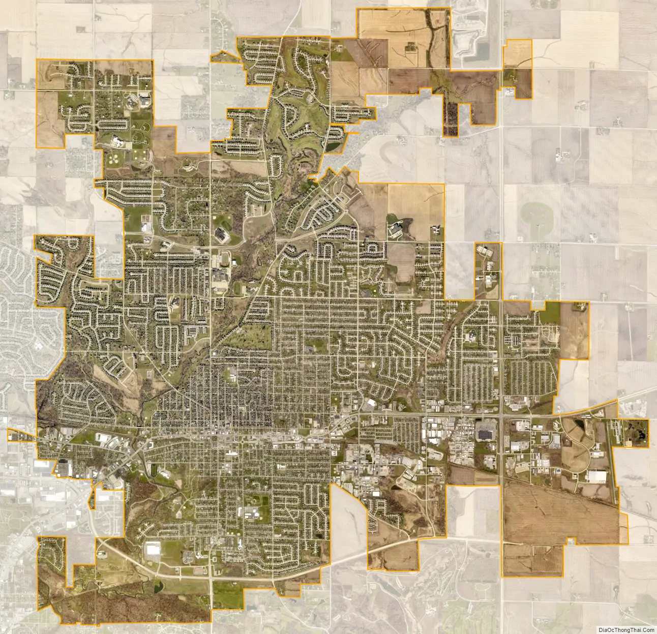
Marion city Satellite Map
Geography
Marion is located at 42°2′16″N 91°35′35″W / 42.03778°N 91.59306°W / 42.03778; -91.59306 (42.037649, −91.592925).
According to the United States Census Bureau, the city has a total area of 16.06 square miles (41.60 km), of which 16.05 square miles (41.57 km) is land and 0.01 square miles (0.03 km) is water.
Climate
See also
Map of Iowa State and its subdivision:- Adair
- Adams
- Allamakee
- Appanoose
- Audubon
- Benton
- Black Hawk
- Boone
- Bremer
- Buchanan
- Buena Vista
- Butler
- Calhoun
- Carroll
- Cass
- Cedar
- Cerro Gordo
- Cherokee
- Chickasaw
- Clarke
- Clay
- Clayton
- Clinton
- Crawford
- Dallas
- Davis
- Decatur
- Delaware
- Des Moines
- Dickinson
- Dubuque
- Emmet
- Fayette
- Floyd
- Franklin
- Fremont
- Greene
- Grundy
- Guthrie
- Hamilton
- Hancock
- Hardin
- Harrison
- Henry
- Howard
- Humboldt
- Ida
- Iowa
- Jackson
- Jasper
- Jefferson
- Johnson
- Jones
- Keokuk
- Kossuth
- Lee
- Linn
- Louisa
- Lucas
- Lyon
- Madison
- Mahaska
- Marion
- Marshall
- Mills
- Mitchell
- Monona
- Monroe
- Montgomery
- Muscatine
- O'Brien
- Osceola
- Page
- Palo Alto
- Plymouth
- Pocahontas
- Polk
- Pottawattamie
- Poweshiek
- Ringgold
- Sac
- Scott
- Shelby
- Sioux
- Story
- Tama
- Taylor
- Union
- Van Buren
- Wapello
- Warren
- Washington
- Wayne
- Webster
- Winnebago
- Winneshiek
- Woodbury
- Worth
- Wright
- Alabama
- Alaska
- Arizona
- Arkansas
- California
- Colorado
- Connecticut
- Delaware
- District of Columbia
- Florida
- Georgia
- Hawaii
- Idaho
- Illinois
- Indiana
- Iowa
- Kansas
- Kentucky
- Louisiana
- Maine
- Maryland
- Massachusetts
- Michigan
- Minnesota
- Mississippi
- Missouri
- Montana
- Nebraska
- Nevada
- New Hampshire
- New Jersey
- New Mexico
- New York
- North Carolina
- North Dakota
- Ohio
- Oklahoma
- Oregon
- Pennsylvania
- Rhode Island
- South Carolina
- South Dakota
- Tennessee
- Texas
- Utah
- Vermont
- Virginia
- Washington
- West Virginia
- Wisconsin
- Wyoming