Marquette is a city in Clayton County, Iowa, United States. The population was 429 at the time of the 2020 census, up from 421 in 2000. The city, which is located on the Mississippi River, is named after Jesuit missionary Jacques Marquette, who along with Louis Joliet discovered the Mississippi River just southeast of the city on June 17, 1673.
| Name: | Marquette city |
|---|---|
| LSAD Code: | 25 |
| LSAD Description: | city (suffix) |
| State: | Iowa |
| County: | Clayton County |
| Elevation: | 627 ft (191 m) |
| Total Area: | 1.92 sq mi (4.98 km²) |
| Land Area: | 1.86 sq mi (4.81 km²) |
| Water Area: | 0.07 sq mi (0.17 km²) |
| Total Population: | 429 |
| Population Density: | 231.14/sq mi (89.24/km²) |
| ZIP code: | 52158 |
| Area code: | 563 |
| FIPS code: | 1949620 |
| GNISfeature ID: | 0458816 |
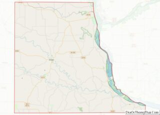
Online Interactive Map
Click on ![]() to view map in "full screen" mode.
to view map in "full screen" mode.
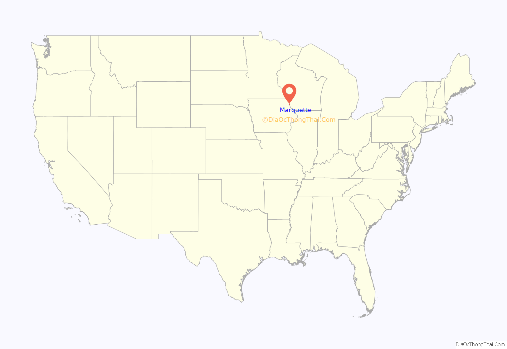
Marquette location map. Where is Marquette city?
History
Marquette is located directly across from Prairie du Chien, Wisconsin, and the two cities are connected by U.S. Route 18, which crosses the river on the Marquette-Joliet Bridge. Effigy Mounds National Monument and the Yellow River State Forest are a few miles to the north. The city of McGregor is located just to the south. Marquette itself was originally incorporated as North McGregor in 1874, and it served as a railroad terminus for its southern neighbor.
Along with McGregor, the city became a major hub on the railroad, as grain from throughout Iowa and Minnesota was sent through the city en route to Lake Michigan. Initially trains had to be ferried across the river between Marquette and Prairie du Chien, Wisconsin, in order to continue their journey, but this system came to an end when Prairie du Chien businessman John Lawler had a permanent pontoon bridge built to connect the two cities’ rail lines. Marquette subsequently became home to a major rail yard, which even as late as 1920 was the busiest in Iowa, employing 400 people. Not too long afterwards, the railroad’s significance declined, the last passenger train stopped in Marquette in 1960, and the pontoon bridge was disassembled in 1961. Today the city is a tourist destination along the mighty Mississippi River; with Antique Shops (School House Mall & My Kinda Stuff), A Winery (Eagles Landing Winery), Riverboat Cruise (Maiden Voyage Tours), Riverboat Casino (Casino Queen), Motels, Hotels and Bed & Baths for your stay.
Marquette Road Map
Marquette city Satellite Map
Geography
According to the United States Census Bureau, the city has a total area of 1.81 square miles (4.69 km), of which 1.74 square miles (4.51 km) is land and 0.07 square miles (0.18 km) is water.
See also
Map of Iowa State and its subdivision:- Adair
- Adams
- Allamakee
- Appanoose
- Audubon
- Benton
- Black Hawk
- Boone
- Bremer
- Buchanan
- Buena Vista
- Butler
- Calhoun
- Carroll
- Cass
- Cedar
- Cerro Gordo
- Cherokee
- Chickasaw
- Clarke
- Clay
- Clayton
- Clinton
- Crawford
- Dallas
- Davis
- Decatur
- Delaware
- Des Moines
- Dickinson
- Dubuque
- Emmet
- Fayette
- Floyd
- Franklin
- Fremont
- Greene
- Grundy
- Guthrie
- Hamilton
- Hancock
- Hardin
- Harrison
- Henry
- Howard
- Humboldt
- Ida
- Iowa
- Jackson
- Jasper
- Jefferson
- Johnson
- Jones
- Keokuk
- Kossuth
- Lee
- Linn
- Louisa
- Lucas
- Lyon
- Madison
- Mahaska
- Marion
- Marshall
- Mills
- Mitchell
- Monona
- Monroe
- Montgomery
- Muscatine
- O'Brien
- Osceola
- Page
- Palo Alto
- Plymouth
- Pocahontas
- Polk
- Pottawattamie
- Poweshiek
- Ringgold
- Sac
- Scott
- Shelby
- Sioux
- Story
- Tama
- Taylor
- Union
- Van Buren
- Wapello
- Warren
- Washington
- Wayne
- Webster
- Winnebago
- Winneshiek
- Woodbury
- Worth
- Wright
- Alabama
- Alaska
- Arizona
- Arkansas
- California
- Colorado
- Connecticut
- Delaware
- District of Columbia
- Florida
- Georgia
- Hawaii
- Idaho
- Illinois
- Indiana
- Iowa
- Kansas
- Kentucky
- Louisiana
- Maine
- Maryland
- Massachusetts
- Michigan
- Minnesota
- Mississippi
- Missouri
- Montana
- Nebraska
- Nevada
- New Hampshire
- New Jersey
- New Mexico
- New York
- North Carolina
- North Dakota
- Ohio
- Oklahoma
- Oregon
- Pennsylvania
- Rhode Island
- South Carolina
- South Dakota
- Tennessee
- Texas
- Utah
- Vermont
- Virginia
- Washington
- West Virginia
- Wisconsin
- Wyoming
