Mount Vernon is a city in Linn County, Iowa, United States, adjacent to the city of Lisbon. The population was 4,527 at the time of the 2020 census. Mount Vernon is part of the Cedar Rapids Metropolitan Statistical Area.
| Name: | Mount Vernon city |
|---|---|
| LSAD Code: | 25 |
| LSAD Description: | city (suffix) |
| State: | Iowa |
| County: | Linn County |
| Elevation: | 879 ft (268 m) |
| Total Area: | 3.50 sq mi (9.07 km²) |
| Land Area: | 3.50 sq mi (9.05 km²) |
| Water Area: | 0.01 sq mi (0.02 km²) |
| Total Population: | 4,527 |
| Population Density: | 1,295.28/sq mi (500.07/km²) |
| ZIP code: | 52314 |
| Area code: | 319 |
| FIPS code: | 1954840 |
| GNISfeature ID: | 0459344 |
Online Interactive Map
Click on ![]() to view map in "full screen" mode.
to view map in "full screen" mode.
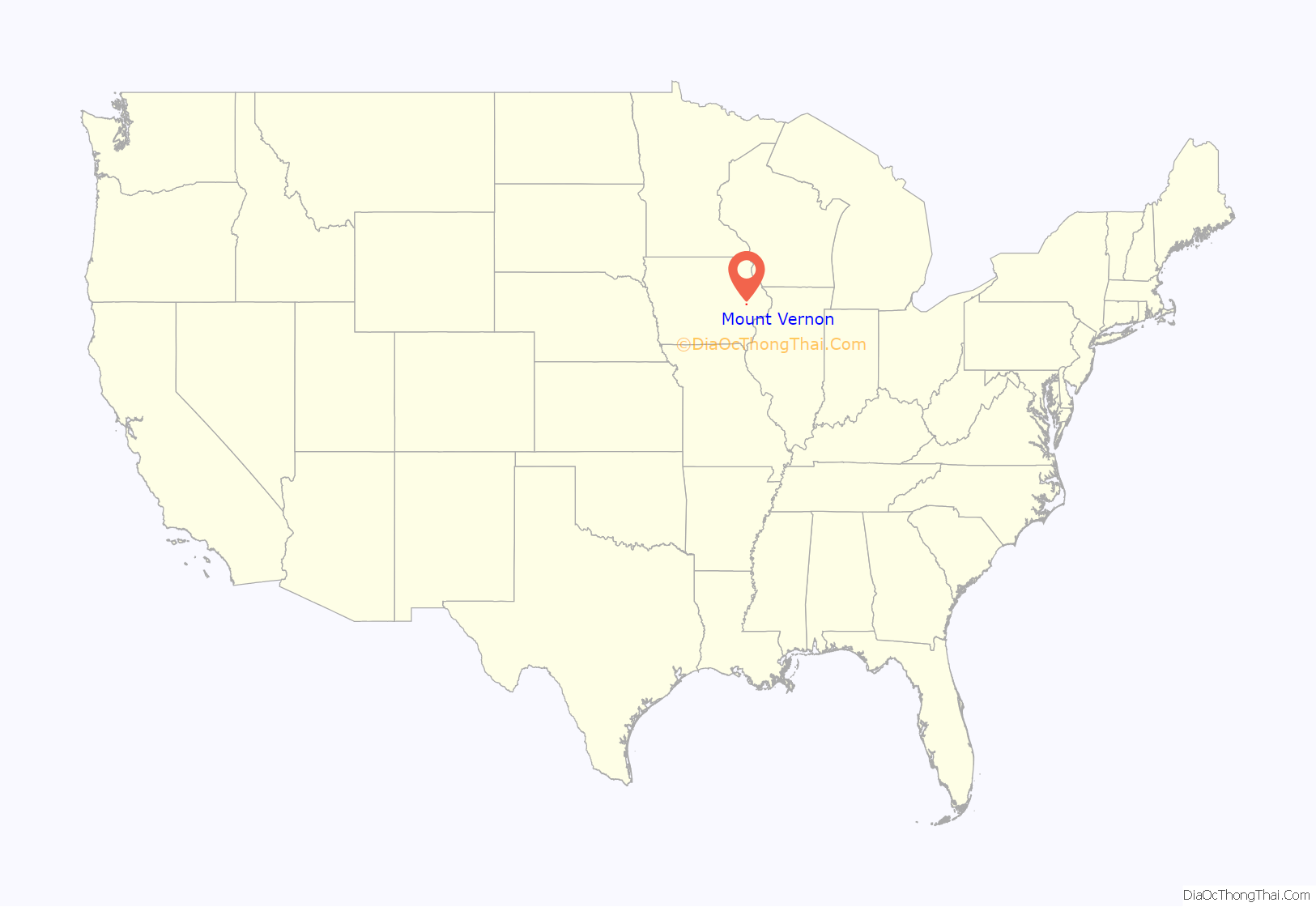
Mount Vernon location map. Where is Mount Vernon city?
History
Mount Vernon was laid out in 1847, but its origins date back to at least 1838, when it was known as Pinhook, a rest stop on Military Road, which ran between Dubuque, on the Mississippi River, and Iowa City. It was renamed Mount Vernon in 1847, after the estate of George Washington. A post office has been in operation in Mount Vernon since 1849. The Iowa Conference (Methodist) Male and Female Seminary (which later became Cornell College) was established in the town in 1853, and the Northwestern Railroad reached it in 1859, bringing new business to the town as its population expanded.
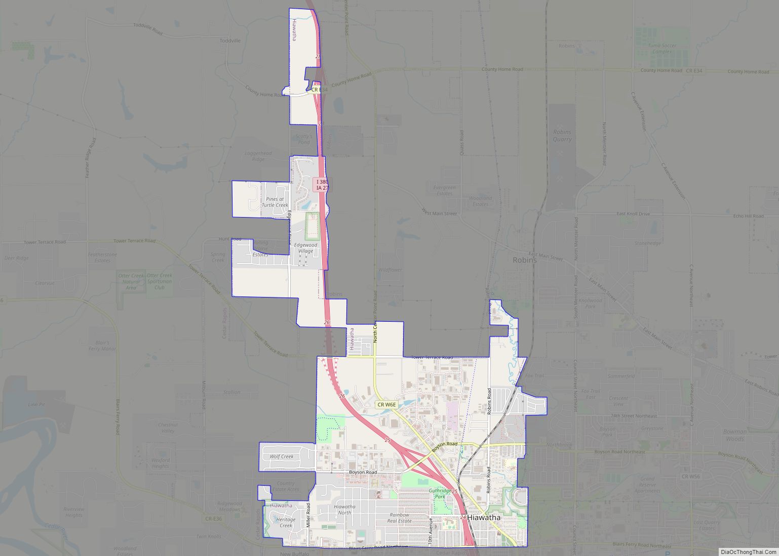
Mount Vernon Road Map
Mount Vernon city Satellite Map
Geography
Mount Vernon is located at 41°55′27″N 91°25′11″W / 41.92417°N 91.41972°W / 41.92417; -91.41972 (41.924096, -91.419679). According to the United States Census Bureau, the city has a total area of 3.50 square miles (9.06 km), of which 3.49 square miles (9.04 km) is land and 0.01 square miles (0.03 km) is water.
The most prominent geographic feature of Mount Vernon is the “mountain” on which it sits. This “mountain” is actually a paha, a ridge formed of sand and loess along the line of the prevailing wind during the ice ages. The Mount Vernon paha is roughly one mile (2 km) long and 1/4 mile (1/2 km) wide, aligned along a roughly northwest to southeast axis and rising up to 100 feet (30 m) above the surrounding landscape. Uptown Mount Vernon is aligned with the southeast end of the ridge crest, while the campus of Cornell College crowns the northwest end of the ridge.
Transportation
The town is located on significant transportation corridors, both current and historical. The main line of the Union Pacific Railroad passes through the city, and the town is located on the historic Lincoln Highway. U.S. Route 30 and Iowa Highway 1 intersect in the southern part of town. Passenger train service was once provided by the Chicago and North Western Railway from a station in the north of town. The CRANDIC interurban electric railway ran from Cedar Rapids, through downtown Mount Vernon, and ended in nearby Lisbon. The interurban ran from 1914 to 1928 and took 45 minutes to travel to the western terminus of Cedar Rapids. Nearby stops included Bertram, the Palisades and Cornell College.
See also
Map of Iowa State and its subdivision:- Adair
- Adams
- Allamakee
- Appanoose
- Audubon
- Benton
- Black Hawk
- Boone
- Bremer
- Buchanan
- Buena Vista
- Butler
- Calhoun
- Carroll
- Cass
- Cedar
- Cerro Gordo
- Cherokee
- Chickasaw
- Clarke
- Clay
- Clayton
- Clinton
- Crawford
- Dallas
- Davis
- Decatur
- Delaware
- Des Moines
- Dickinson
- Dubuque
- Emmet
- Fayette
- Floyd
- Franklin
- Fremont
- Greene
- Grundy
- Guthrie
- Hamilton
- Hancock
- Hardin
- Harrison
- Henry
- Howard
- Humboldt
- Ida
- Iowa
- Jackson
- Jasper
- Jefferson
- Johnson
- Jones
- Keokuk
- Kossuth
- Lee
- Linn
- Louisa
- Lucas
- Lyon
- Madison
- Mahaska
- Marion
- Marshall
- Mills
- Mitchell
- Monona
- Monroe
- Montgomery
- Muscatine
- O'Brien
- Osceola
- Page
- Palo Alto
- Plymouth
- Pocahontas
- Polk
- Pottawattamie
- Poweshiek
- Ringgold
- Sac
- Scott
- Shelby
- Sioux
- Story
- Tama
- Taylor
- Union
- Van Buren
- Wapello
- Warren
- Washington
- Wayne
- Webster
- Winnebago
- Winneshiek
- Woodbury
- Worth
- Wright
- Alabama
- Alaska
- Arizona
- Arkansas
- California
- Colorado
- Connecticut
- Delaware
- District of Columbia
- Florida
- Georgia
- Hawaii
- Idaho
- Illinois
- Indiana
- Iowa
- Kansas
- Kentucky
- Louisiana
- Maine
- Maryland
- Massachusetts
- Michigan
- Minnesota
- Mississippi
- Missouri
- Montana
- Nebraska
- Nevada
- New Hampshire
- New Jersey
- New Mexico
- New York
- North Carolina
- North Dakota
- Ohio
- Oklahoma
- Oregon
- Pennsylvania
- Rhode Island
- South Carolina
- South Dakota
- Tennessee
- Texas
- Utah
- Vermont
- Virginia
- Washington
- West Virginia
- Wisconsin
- Wyoming
