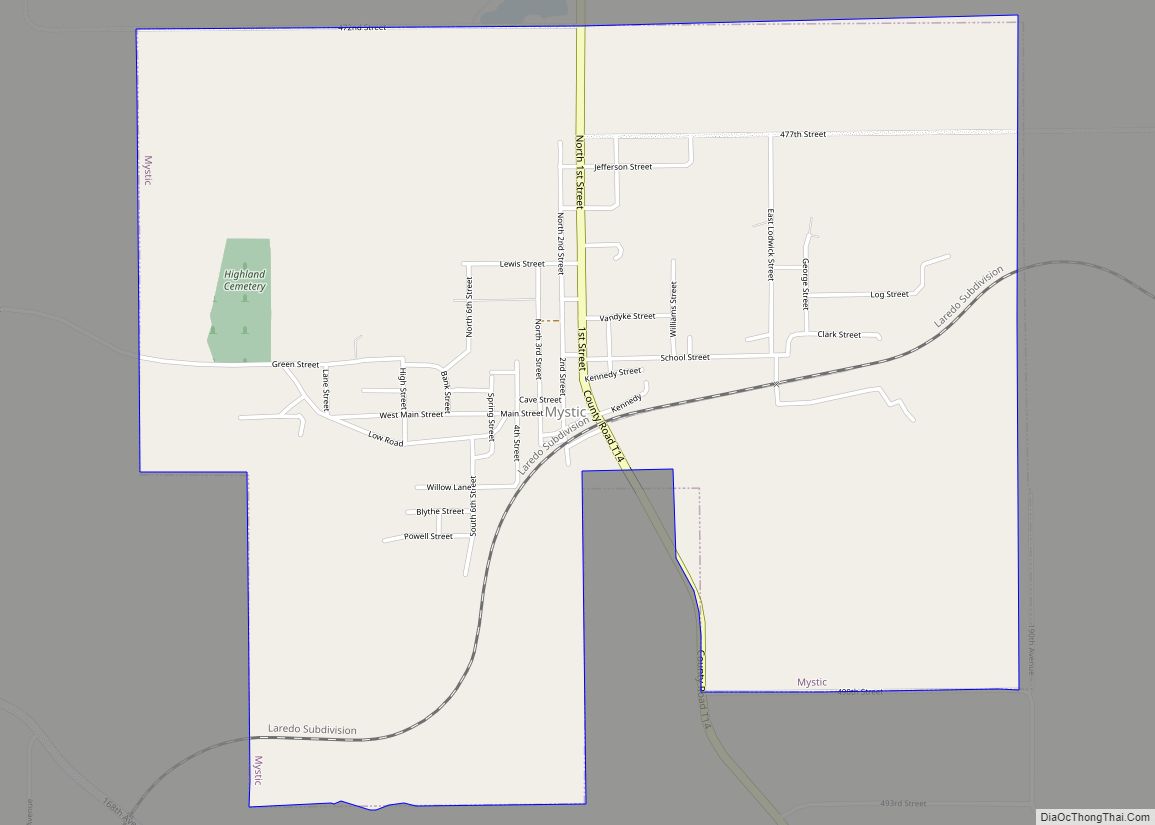
Mystic is a city in Appanoose County, Iowa, United States. The population was 322 at the time of the 2020 census.
| Name: | Mystic city |
|---|---|
| LSAD Code: | 25 |
| LSAD Description: | city (suffix) |
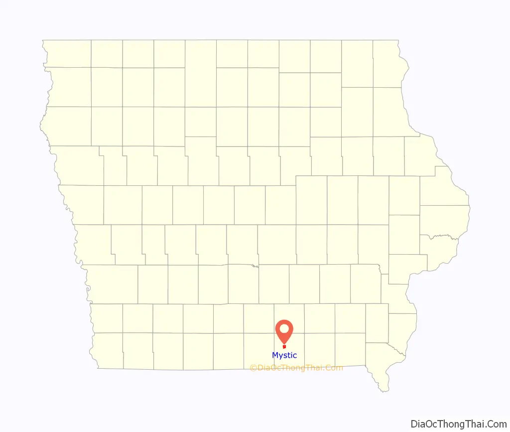
| State: | Iowa |
| County: | Appanoose County |
| Elevation: | 899 ft (274 m) |
| Total Area: | 2.94 sq mi (7.63 km²) |
| Land Area: | 2.94 sq mi (7.63 km²) |
| Water Area: | 0.00 sq mi (0.00 km²) |
| Total Population: | 322 |
| Population Density: | 109.38/sq mi (42.22/km²) |
| ZIP code: | 52574 |
| Area code: | 641 |
| FIPS code: | 1955200 |
| GNISfeature ID: | 0459427 |
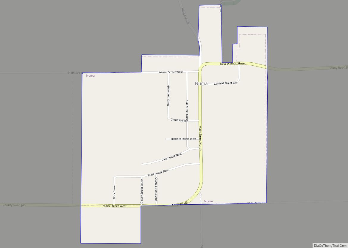
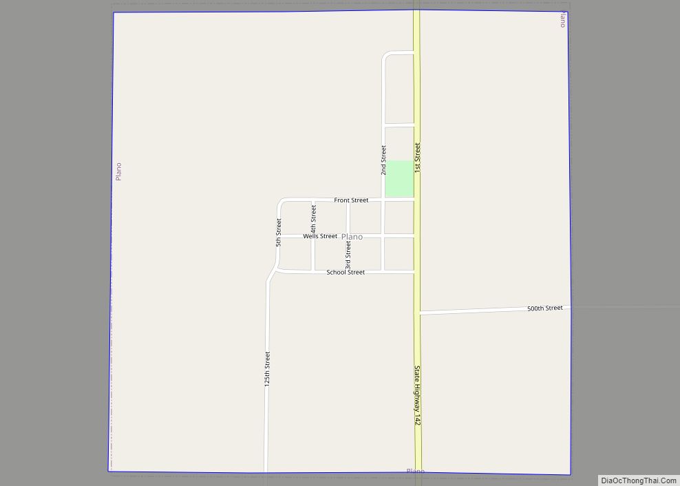
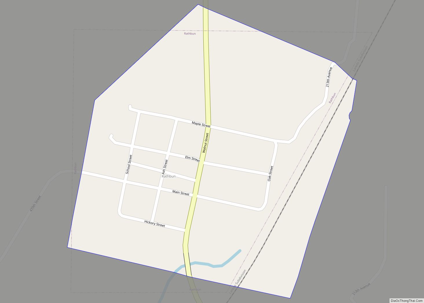
Online Interactive Map
Click on ![]() to view map in "full screen" mode.
to view map in "full screen" mode.
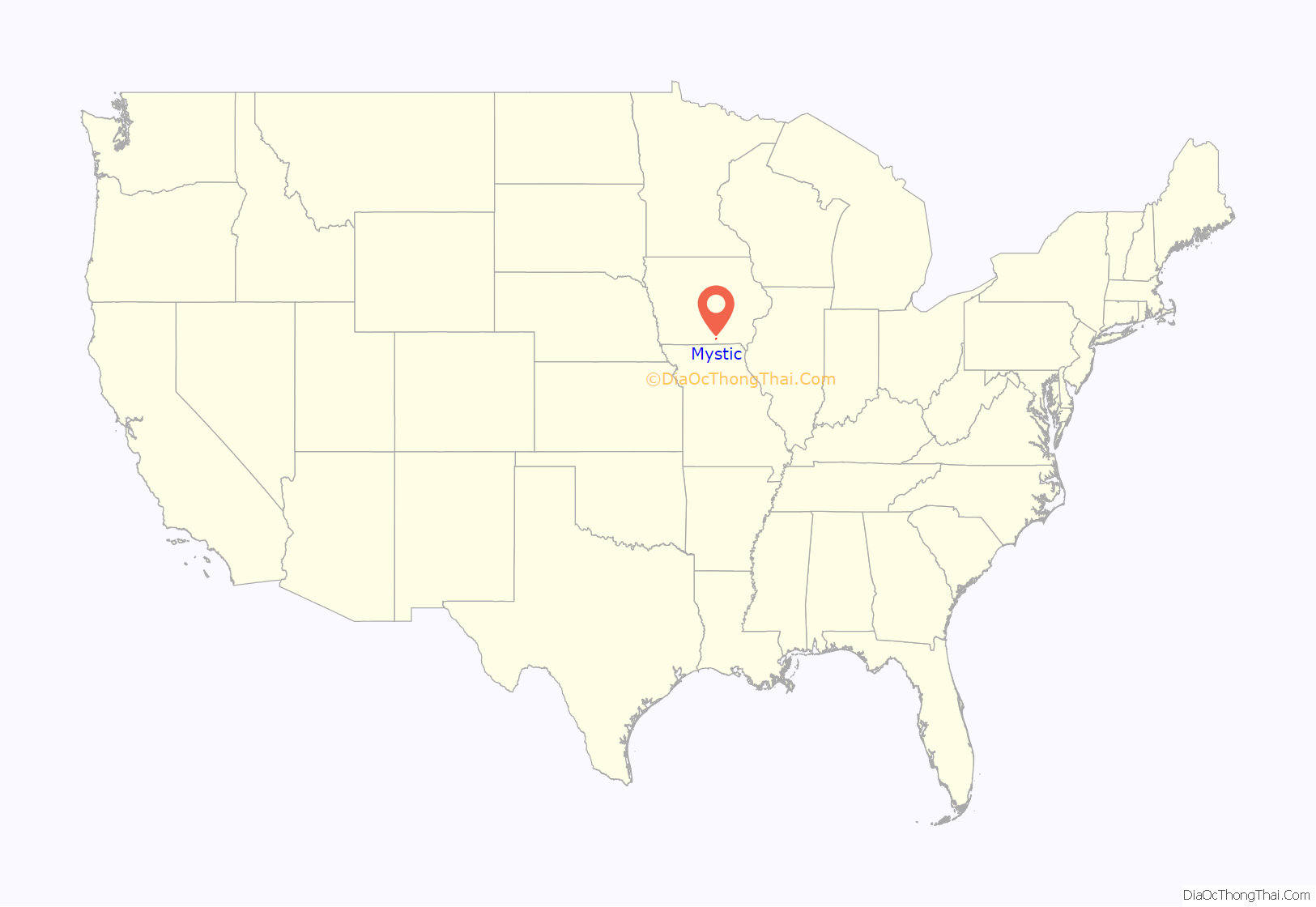
Mystic location map. Where is Mystic city?
History
At the end of the 19th century, “the valley of Walnut Creek was one continuous mining camp, known under different names, Jerome, Diamond, Mystic, Clarkdale, Rathbun and Darby” (later known as Darbyville). The present name is derived from Mystic, Connecticut. A. M. Elgin opened the first coal mine in the Mystic area in 1857, about 1.5 miles north of Mystic on Little Walnut Creek. The Mystic coal seam was exposed on the surface there, and drifts were opened and abandoned over the next few decades until the hills were honeycombed with mines.
In 1858, Isaac Fuller opened a large mine in Mystic, shipping coal for domestic use in nearby Centerville. In 1887, the Chicago, Milwaukee and St. Paul Railway built a line through Mystic, leading to an explosive growth in mining. By 1893, there were 14 mines in Mystic and 2 in Brazil, just to the south. It is noteworthy that the terms brass, brazzle and brazil are English dialect terms for pyrite or to coal seams with significant pyrite content and that a shale layer not far above the Mystic coal seam in Mystic and Brazil contains significant pyrite.
Local Assembly 3335 of the Knights of Labor was based in Brazil and had a membership of 75 in 1884. The miners of Mystic and Brazil joined the United Mine Workers in 1898. By 1902, Local 201 in Brazil had 220 members and Local 634 in Mystic had 569 members. By 1912, Local 201 had 370 members and Locals 239 and 634 in Mystic had a combined membership of 851. The total UMWA membership in 1912 represents about 1/4 of the entire population.
In 1914, the Lodwick Brothers Coal Company of Mystic produced over 100,000 tons of coal, ranking among the top 24 coal producers in the state.
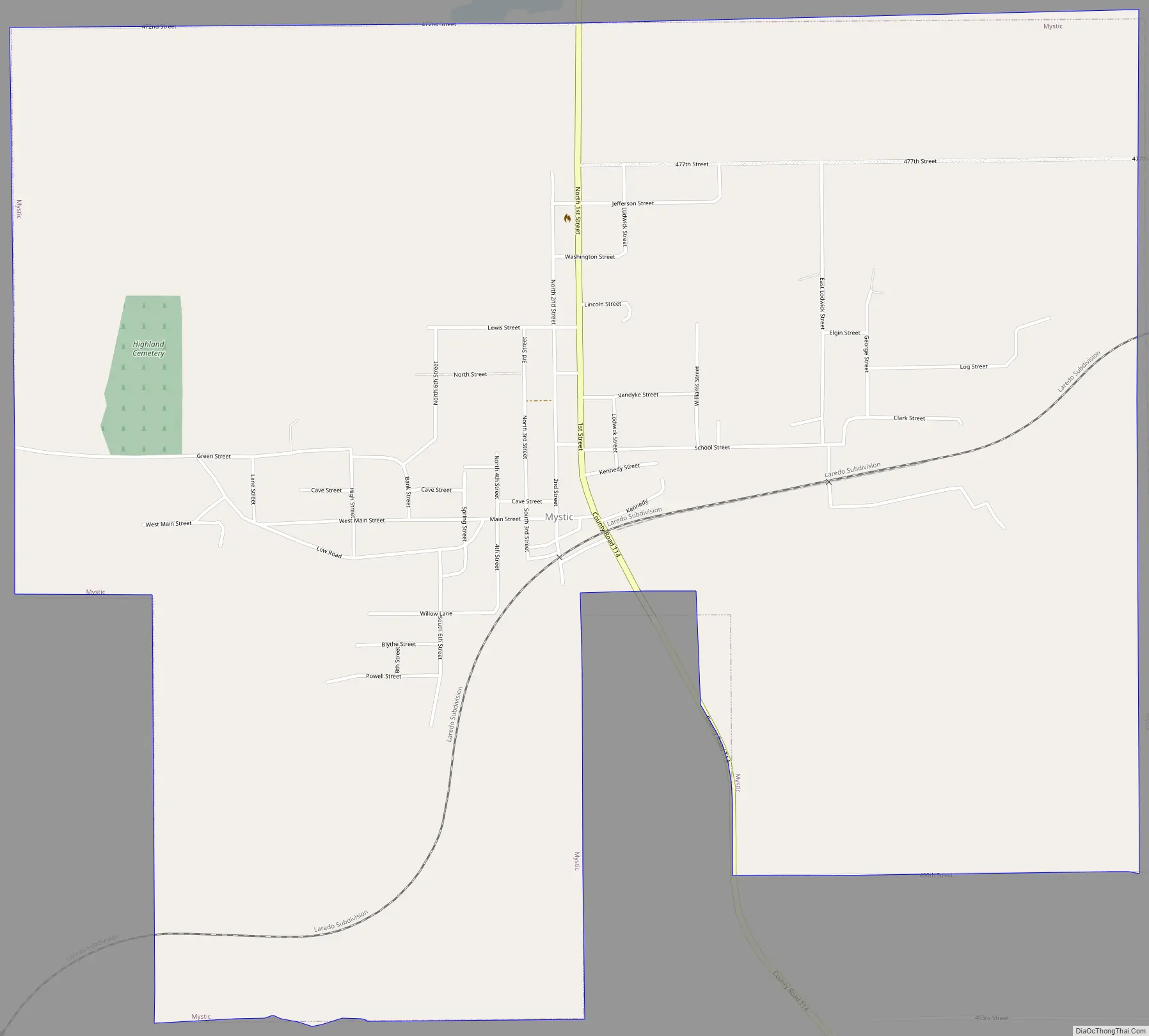
Mystic Road Map
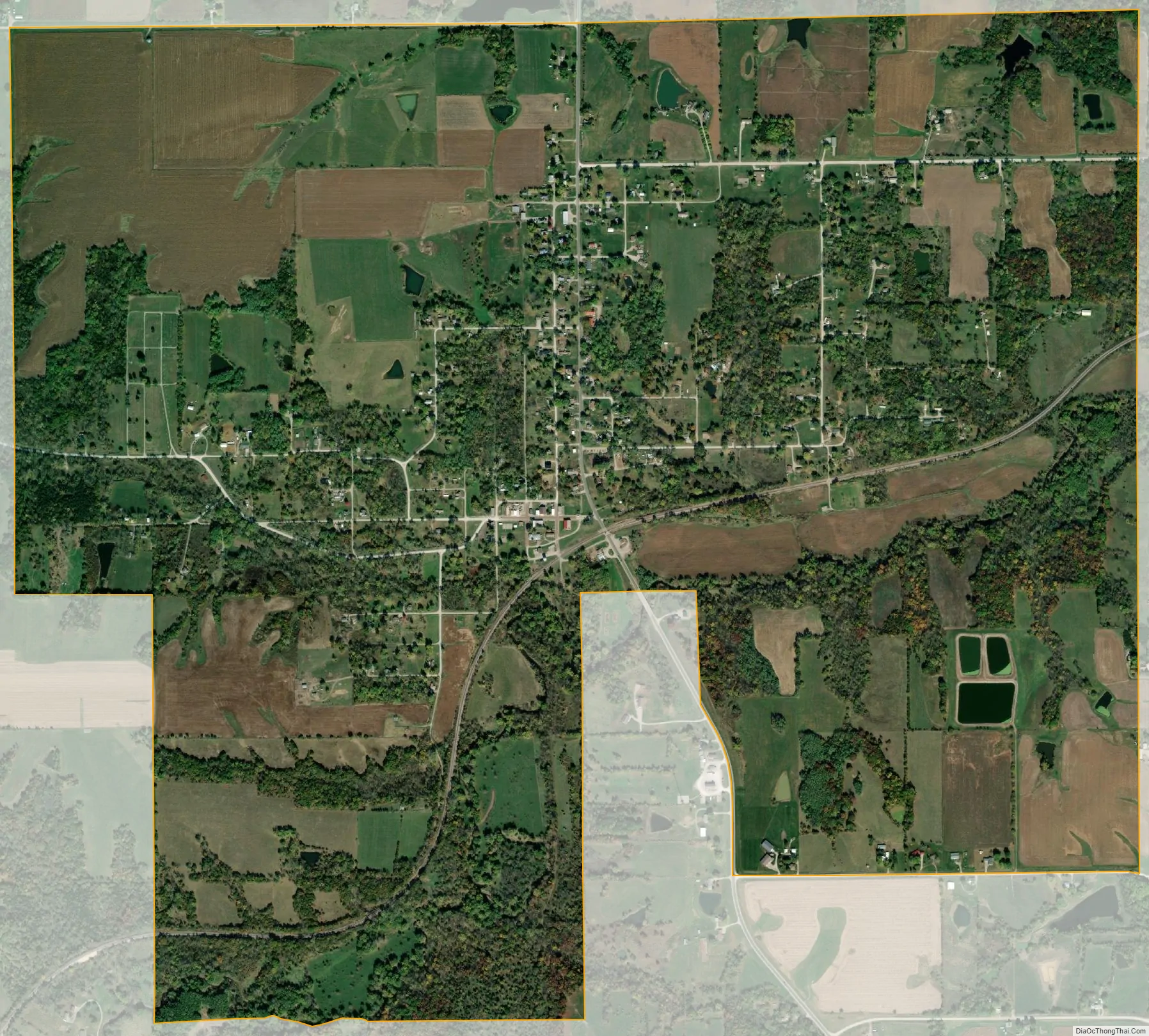
Mystic city Satellite Map
Geography
Mystic’s longitude and latitude coordinates in decimal form are 40.778616, −92.944933. Mystic is located in the valley of Walnut Creek, approximately four miles southwest of its confluence with the Chariton River.
According to the United States Census Bureau, the city has a total area of 2.92 square miles (7.56 km), all land.
See also
Map of Iowa State and its subdivision:- Adair
- Adams
- Allamakee
- Appanoose
- Audubon
- Benton
- Black Hawk
- Boone
- Bremer
- Buchanan
- Buena Vista
- Butler
- Calhoun
- Carroll
- Cass
- Cedar
- Cerro Gordo
- Cherokee
- Chickasaw
- Clarke
- Clay
- Clayton
- Clinton
- Crawford
- Dallas
- Davis
- Decatur
- Delaware
- Des Moines
- Dickinson
- Dubuque
- Emmet
- Fayette
- Floyd
- Franklin
- Fremont
- Greene
- Grundy
- Guthrie
- Hamilton
- Hancock
- Hardin
- Harrison
- Henry
- Howard
- Humboldt
- Ida
- Iowa
- Jackson
- Jasper
- Jefferson
- Johnson
- Jones
- Keokuk
- Kossuth
- Lee
- Linn
- Louisa
- Lucas
- Lyon
- Madison
- Mahaska
- Marion
- Marshall
- Mills
- Mitchell
- Monona
- Monroe
- Montgomery
- Muscatine
- O'Brien
- Osceola
- Page
- Palo Alto
- Plymouth
- Pocahontas
- Polk
- Pottawattamie
- Poweshiek
- Ringgold
- Sac
- Scott
- Shelby
- Sioux
- Story
- Tama
- Taylor
- Union
- Van Buren
- Wapello
- Warren
- Washington
- Wayne
- Webster
- Winnebago
- Winneshiek
- Woodbury
- Worth
- Wright
- Alabama
- Alaska
- Arizona
- Arkansas
- California
- Colorado
- Connecticut
- Delaware
- District of Columbia
- Florida
- Georgia
- Hawaii
- Idaho
- Illinois
- Indiana
- Iowa
- Kansas
- Kentucky
- Louisiana
- Maine
- Maryland
- Massachusetts
- Michigan
- Minnesota
- Mississippi
- Missouri
- Montana
- Nebraska
- Nevada
- New Hampshire
- New Jersey
- New Mexico
- New York
- North Carolina
- North Dakota
- Ohio
- Oklahoma
- Oregon
- Pennsylvania
- Rhode Island
- South Carolina
- South Dakota
- Tennessee
- Texas
- Utah
- Vermont
- Virginia
- Washington
- West Virginia
- Wisconsin
- Wyoming