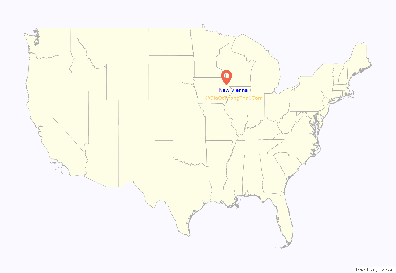
New Vienna is a city in Dubuque County, Iowa, United States. It is part of the Dubuque, Iowa Metropolitan Statistical Area. The population was 382 at the time of the 2020 census, down from 400 in 2000. New Vienna is the home to the Saint Boniface Catholic Church. The city promotes itself with the slogan The eNVy of Iowa.
| Name: | New Vienna city |
|---|---|
| LSAD Code: | 25 |
| LSAD Description: | city (suffix) |
| State: | Iowa |
| County: | Dubuque County |
| Elevation: | 1,001 ft (305 m) |
| Total Area: | 0.47 sq mi (1.21 km²) |
| Land Area: | 0.47 sq mi (1.21 km²) |
| Water Area: | 0.00 sq mi (0.00 km²) |
| Total Population: | 382 |
| Population Density: | 819.74/sq mi (316.46/km²) |
| ZIP code: | 52065 |
| Area code: | 563 |
| FIPS code: | 1956550 |
| GNISfeature ID: | 0459494 |
Online Interactive Map
Click on ![]() to view map in "full screen" mode.
to view map in "full screen" mode.
New Vienna location map. Where is New Vienna city?
History
New Vienna was initially settled by a group of German immigrant families who were living in Ohio. These families had come to the area in search of farmland.
One such family was that of William Steffen Sr. and his wife Mary. William and Mary were originally from Recklinghausen, in what was then the Province of Westphalia and today is Germany. They came to the United States and settled in Ohio. William and Mary and their children joined the other German immigrant families who came to New Vienna in the 1840s. The descendants of William and Mary number in the thousands today, and some of their descendants still live in New Vienna and surrounding areas.
St. Boniface Catholic Church was established for the local families that established New Vienna. This church is notable for its late 19th century William Schuelke pipe organ. This organ is one of the few original remaining Schuelke Organs – except for an electric blower it has been basically unaltered since installation.
New Vienna Road Map
New Vienna city Satellite Map
Geography
New Vienna is located at 42°32′54″N 91°06′49″W / 42.548404°N 91.113568°W / 42.548404; -91.113568 (42.548404, -91.113568).
According to the United States Census Bureau, the city has a total area of 0.44 square miles (1.14 km), all land.
See also
Map of Iowa State and its subdivision:- Adair
- Adams
- Allamakee
- Appanoose
- Audubon
- Benton
- Black Hawk
- Boone
- Bremer
- Buchanan
- Buena Vista
- Butler
- Calhoun
- Carroll
- Cass
- Cedar
- Cerro Gordo
- Cherokee
- Chickasaw
- Clarke
- Clay
- Clayton
- Clinton
- Crawford
- Dallas
- Davis
- Decatur
- Delaware
- Des Moines
- Dickinson
- Dubuque
- Emmet
- Fayette
- Floyd
- Franklin
- Fremont
- Greene
- Grundy
- Guthrie
- Hamilton
- Hancock
- Hardin
- Harrison
- Henry
- Howard
- Humboldt
- Ida
- Iowa
- Jackson
- Jasper
- Jefferson
- Johnson
- Jones
- Keokuk
- Kossuth
- Lee
- Linn
- Louisa
- Lucas
- Lyon
- Madison
- Mahaska
- Marion
- Marshall
- Mills
- Mitchell
- Monona
- Monroe
- Montgomery
- Muscatine
- O'Brien
- Osceola
- Page
- Palo Alto
- Plymouth
- Pocahontas
- Polk
- Pottawattamie
- Poweshiek
- Ringgold
- Sac
- Scott
- Shelby
- Sioux
- Story
- Tama
- Taylor
- Union
- Van Buren
- Wapello
- Warren
- Washington
- Wayne
- Webster
- Winnebago
- Winneshiek
- Woodbury
- Worth
- Wright
- Alabama
- Alaska
- Arizona
- Arkansas
- California
- Colorado
- Connecticut
- Delaware
- District of Columbia
- Florida
- Georgia
- Hawaii
- Idaho
- Illinois
- Indiana
- Iowa
- Kansas
- Kentucky
- Louisiana
- Maine
- Maryland
- Massachusetts
- Michigan
- Minnesota
- Mississippi
- Missouri
- Montana
- Nebraska
- Nevada
- New Hampshire
- New Jersey
- New Mexico
- New York
- North Carolina
- North Dakota
- Ohio
- Oklahoma
- Oregon
- Pennsylvania
- Rhode Island
- South Carolina
- South Dakota
- Tennessee
- Texas
- Utah
- Vermont
- Virginia
- Washington
- West Virginia
- Wisconsin
- Wyoming


