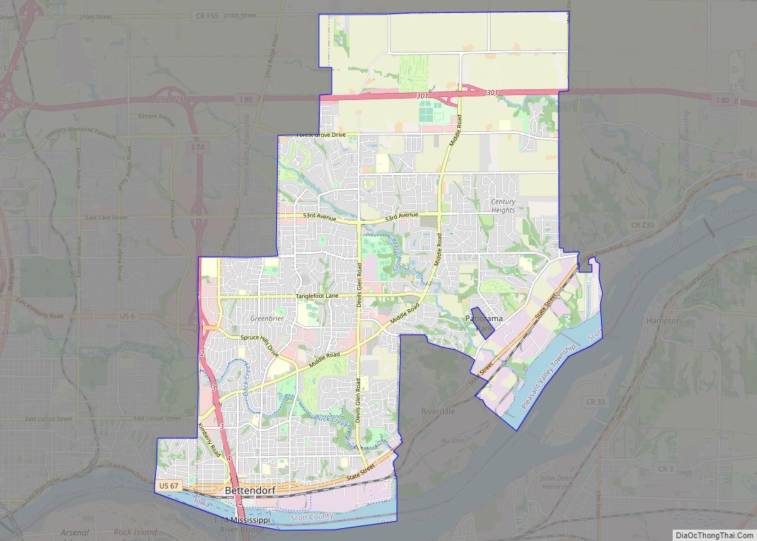
Panorama Park is a city in Scott County, Iowa, United States. The population was 139 at the time of the 2020 census. It is surrounded by Bettendorf, and is part of the Quad Cities metro area.
| Name: | Panorama Park city |
|---|---|
| LSAD Code: | 25 |
| LSAD Description: | city (suffix) |
| State: | Iowa |
| County: | Scott County |
| Elevation: | 610 ft (186 m) |
| Land Area: | 0.06 sq mi (0.16 km²) |
| Water Area: | 0.00 sq mi (0.00 km²) |
| Population Density: | 2,316.67/sq mi (890.32/km²) |
| Area code: | 563 |
| FIPS code: | 1961365 |
| GNISfeature ID: | 0460011 |
| Website: | https://panoramaparkiowa.com |
Online Interactive Map
Click on ![]() to view map in "full screen" mode.
to view map in "full screen" mode.
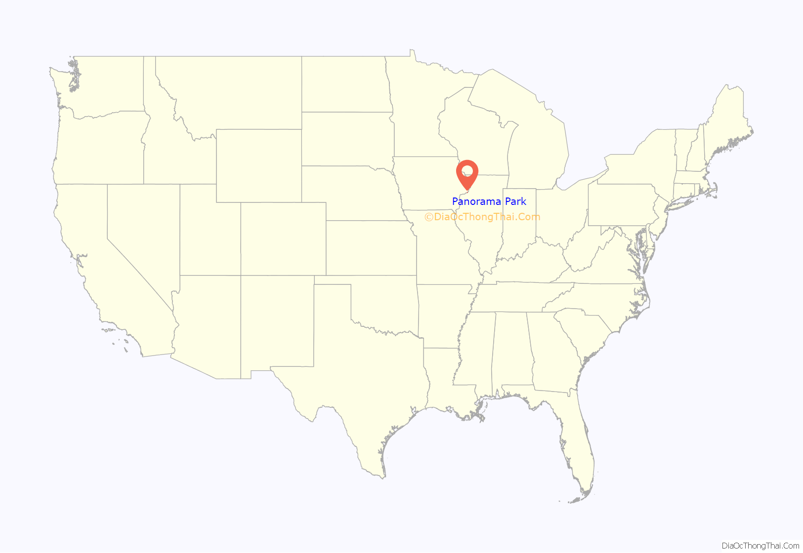
Panorama Park location map. Where is Panorama Park city?
History
Panorama Park exists due to a road maintenance controversy from the early 1950s. The city of Bettendorf ignored requests to maintain the thoroughfare known as Park Avenue, a dirt road which was often left icy or muddy. The neighborhood surrounding Park Avenue decided to incorporate the community as Panorama Park in an effort to pay for the road’s maintenance directly. Since its 1953 incorporation, the residents of Panorama Park have maintained their independence, paying lower taxes than residents of the surrounding Bettendorf.
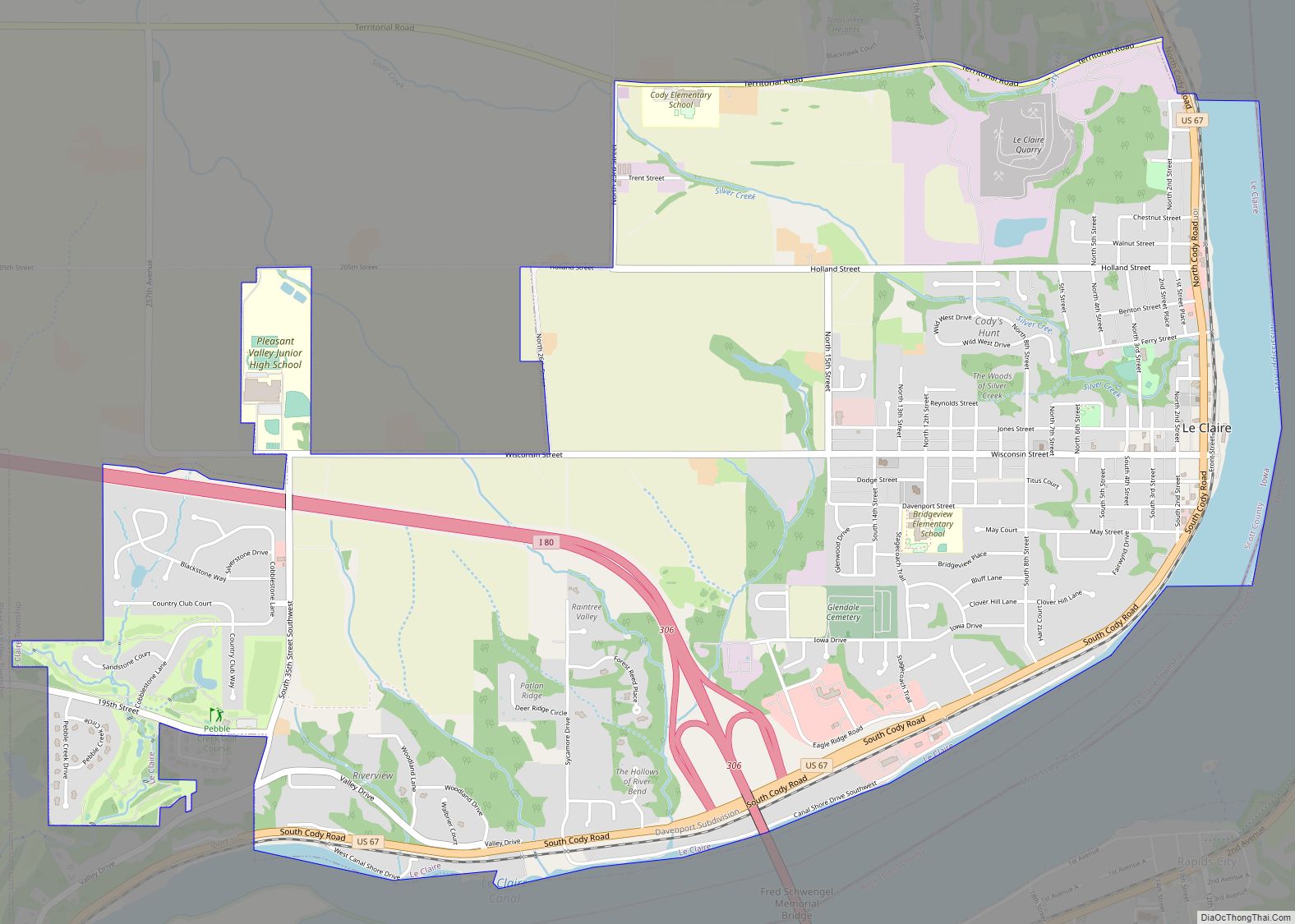
Panorama Park Road Map
Panorama Park city Satellite Map
Geography
Panorama Park is located at 41°33′19″N 90°27′17″W / 41.55528°N 90.45472°W / 41.55528; -90.45472 (41.555156, −90.454615).
According to the United States Census Bureau, the city has a total area of 0.05 square miles (0.13 km), all land.
See also
Map of Iowa State and its subdivision:- Adair
- Adams
- Allamakee
- Appanoose
- Audubon
- Benton
- Black Hawk
- Boone
- Bremer
- Buchanan
- Buena Vista
- Butler
- Calhoun
- Carroll
- Cass
- Cedar
- Cerro Gordo
- Cherokee
- Chickasaw
- Clarke
- Clay
- Clayton
- Clinton
- Crawford
- Dallas
- Davis
- Decatur
- Delaware
- Des Moines
- Dickinson
- Dubuque
- Emmet
- Fayette
- Floyd
- Franklin
- Fremont
- Greene
- Grundy
- Guthrie
- Hamilton
- Hancock
- Hardin
- Harrison
- Henry
- Howard
- Humboldt
- Ida
- Iowa
- Jackson
- Jasper
- Jefferson
- Johnson
- Jones
- Keokuk
- Kossuth
- Lee
- Linn
- Louisa
- Lucas
- Lyon
- Madison
- Mahaska
- Marion
- Marshall
- Mills
- Mitchell
- Monona
- Monroe
- Montgomery
- Muscatine
- O'Brien
- Osceola
- Page
- Palo Alto
- Plymouth
- Pocahontas
- Polk
- Pottawattamie
- Poweshiek
- Ringgold
- Sac
- Scott
- Shelby
- Sioux
- Story
- Tama
- Taylor
- Union
- Van Buren
- Wapello
- Warren
- Washington
- Wayne
- Webster
- Winnebago
- Winneshiek
- Woodbury
- Worth
- Wright
- Alabama
- Alaska
- Arizona
- Arkansas
- California
- Colorado
- Connecticut
- Delaware
- District of Columbia
- Florida
- Georgia
- Hawaii
- Idaho
- Illinois
- Indiana
- Iowa
- Kansas
- Kentucky
- Louisiana
- Maine
- Maryland
- Massachusetts
- Michigan
- Minnesota
- Mississippi
- Missouri
- Montana
- Nebraska
- Nevada
- New Hampshire
- New Jersey
- New Mexico
- New York
- North Carolina
- North Dakota
- Ohio
- Oklahoma
- Oregon
- Pennsylvania
- Rhode Island
- South Carolina
- South Dakota
- Tennessee
- Texas
- Utah
- Vermont
- Virginia
- Washington
- West Virginia
- Wisconsin
- Wyoming
