Princeton is a city in Scott County, Iowa, United States. The population was 923 at the time of the 2020 census.
| Name: | Princeton city |
|---|---|
| LSAD Code: | 25 |
| LSAD Description: | city (suffix) |
| State: | Iowa |
| County: | Scott County |
| Elevation: | 584 ft (178 m) |
| Land Area: | 3.26 sq mi (8.45 km²) |
| Water Area: | 0.00 sq mi (0.00 km²) |
| Population Density: | 283.04/sq mi (109.29/km²) |
| ZIP code: | 52768 |
| Area code: | 563 |
| FIPS code: | 1964740 |
| GNISfeature ID: | 0460455 |
| Website: | http://www.princetoniowa.us |
Online Interactive Map
Click on ![]() to view map in "full screen" mode.
to view map in "full screen" mode.
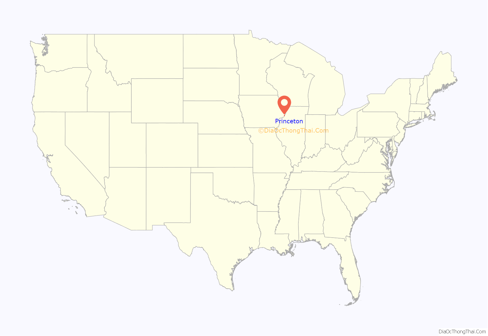
Princeton location map. Where is Princeton city?
History
The first known settlers in Princeton Township were brothers Giles and Haswell Pineo, circa 1836. By 1838, Elizabeth City – the predecessor to Princeton – had its first store, ferry across the nearby Wapsipinicon River, mill and distillery were in operation.
The city now known as Princeton was platted and recorded in 1852, and the city was incorporated in 1860. Rail service to Chicago began in 1860. Samuel Porter was the first elected mayor in 1858, for a population of less than 500. The population has fluctuated several times through the years, and today stands at less than 900 residents.
The city’s mainstay businesses for many years were Farmers Savings Bank, chartered in 1908, and Boll’s General Store, founded by Henry “Heinie” Boll in 1922. Farmers Savings Bank is now part of Milan, Illinois-based Blackhawk Bank & Trust, while Boll’s Store continued until 1997. Boll’s storefront is now the Community Center.
Education of the area’s children started in a log cabin, moved to a converted barn and then, in 1866, to a stone building. Princeton became part of the North Scott Community School District in 1956, and is now served by Virgil Grissom Elementary School, which opened in 1967.
The Methodist and the Presbyterian churches began to hold services in 1840, and the Lutherans first held services in a building known as “Old Brick,” located 4 miles (6.4 km) west of town, in 1852. Today, Zion Lutheran Church (part of the Evangelical Lutheran Church in America and Princeton Presbyterian Church, affiliated with Presbyterian Church USA’s Presbytery of East Iowa, are the city’s two churches, with Zion founded in 1898 and the Presbyterian church in 1854. Both churches are members of the Princeton, Pleasant Valley, Argo and LeClaire Pastors’ Group, a coalition of clergy from churches serving those communities.
Princeton Road Map
Princeton city Satellite Map
Geography
Princeton’s longitude and latitude coordinates
in decimal form are 41.673282, −90.342953.
According to the United States Census Bureau, the city has a total area of 2.56 square miles (6.63 km), all land.
See also
Map of Iowa State and its subdivision:- Adair
- Adams
- Allamakee
- Appanoose
- Audubon
- Benton
- Black Hawk
- Boone
- Bremer
- Buchanan
- Buena Vista
- Butler
- Calhoun
- Carroll
- Cass
- Cedar
- Cerro Gordo
- Cherokee
- Chickasaw
- Clarke
- Clay
- Clayton
- Clinton
- Crawford
- Dallas
- Davis
- Decatur
- Delaware
- Des Moines
- Dickinson
- Dubuque
- Emmet
- Fayette
- Floyd
- Franklin
- Fremont
- Greene
- Grundy
- Guthrie
- Hamilton
- Hancock
- Hardin
- Harrison
- Henry
- Howard
- Humboldt
- Ida
- Iowa
- Jackson
- Jasper
- Jefferson
- Johnson
- Jones
- Keokuk
- Kossuth
- Lee
- Linn
- Louisa
- Lucas
- Lyon
- Madison
- Mahaska
- Marion
- Marshall
- Mills
- Mitchell
- Monona
- Monroe
- Montgomery
- Muscatine
- O'Brien
- Osceola
- Page
- Palo Alto
- Plymouth
- Pocahontas
- Polk
- Pottawattamie
- Poweshiek
- Ringgold
- Sac
- Scott
- Shelby
- Sioux
- Story
- Tama
- Taylor
- Union
- Van Buren
- Wapello
- Warren
- Washington
- Wayne
- Webster
- Winnebago
- Winneshiek
- Woodbury
- Worth
- Wright
- Alabama
- Alaska
- Arizona
- Arkansas
- California
- Colorado
- Connecticut
- Delaware
- District of Columbia
- Florida
- Georgia
- Hawaii
- Idaho
- Illinois
- Indiana
- Iowa
- Kansas
- Kentucky
- Louisiana
- Maine
- Maryland
- Massachusetts
- Michigan
- Minnesota
- Mississippi
- Missouri
- Montana
- Nebraska
- Nevada
- New Hampshire
- New Jersey
- New Mexico
- New York
- North Carolina
- North Dakota
- Ohio
- Oklahoma
- Oregon
- Pennsylvania
- Rhode Island
- South Carolina
- South Dakota
- Tennessee
- Texas
- Utah
- Vermont
- Virginia
- Washington
- West Virginia
- Wisconsin
- Wyoming
