Spillville is a city in Winneshiek County, Iowa, United States. The population was 385 at the time of the 2020 census. It is located in Calmar Township, approximately 4 mi (6.4 km) west of Calmar and about 12 miles (19 km) southwest of Decorah, the county seat. Spillville is known for its Independence Day fireworks display, held the first Saturday in July.
| Name: | Spillville city |
|---|---|
| LSAD Code: | 25 |
| LSAD Description: | city (suffix) |
| State: | Iowa |
| County: | Winneshiek County |
| Elevation: | 1,070 ft (326 m) |
| Total Area: | 0.45 sq mi (1.16 km²) |
| Land Area: | 0.44 sq mi (1.14 km²) |
| Water Area: | 0.01 sq mi (0.02 km²) |
| Total Population: | 385 |
| Population Density: | 876.99/sq mi (338.41/km²) |
| ZIP code: | 52168 |
| Area code: | 563 |
| FIPS code: | 1974370 |
| GNISfeature ID: | 0461848 |
| Website: | www.cityofspillville.org |
Online Interactive Map
Click on ![]() to view map in "full screen" mode.
to view map in "full screen" mode.
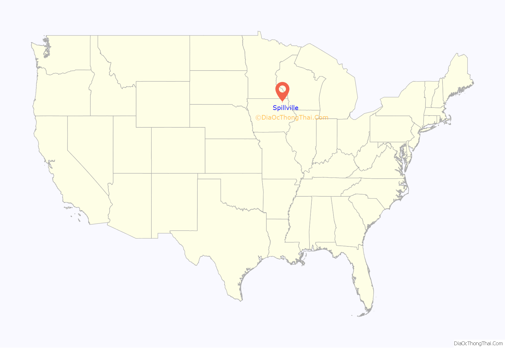
Spillville location map. Where is Spillville city?
History
Spillville was platted by German Joseph Spielmann in 1860. Originally named Spielville after the founder, Joseph Spielman, the community’s name was misread and became Spillville.
It was largely settled by Bohemian, German and Swiss immigrants.
Spillville boasts a strong cultural and musical history. The Czech composer Antonín Dvořák spent the summer of 1893 in Spillville, where his friend Josef Jan Kovařík had relatives. There he completed the monumental Symphony No. 9 in E minor, “From the New World”, as well as two of his most famous chamber works, the String Quartet in F (“The American”) and the String Quintet in E-flat. Spillville is also the site of the Inwood Ballroom, established in 1920 and the destination of several popular 20th-century musicians such as Louis Armstrong, Glenn Miller, Guy Lombardo, and The Byrds. Many tourists to Spillville have also visited the Bily Clocks Museum (see link below), a collection of intricately designed clocks created by two brothers in Spillville housed in the building where Dvořák lived during his stay.
The Roman Catholic parish in Spillville, St. Wenceslaus Church, was built in 1860 and is the oldest Czech Catholic church in the United States.
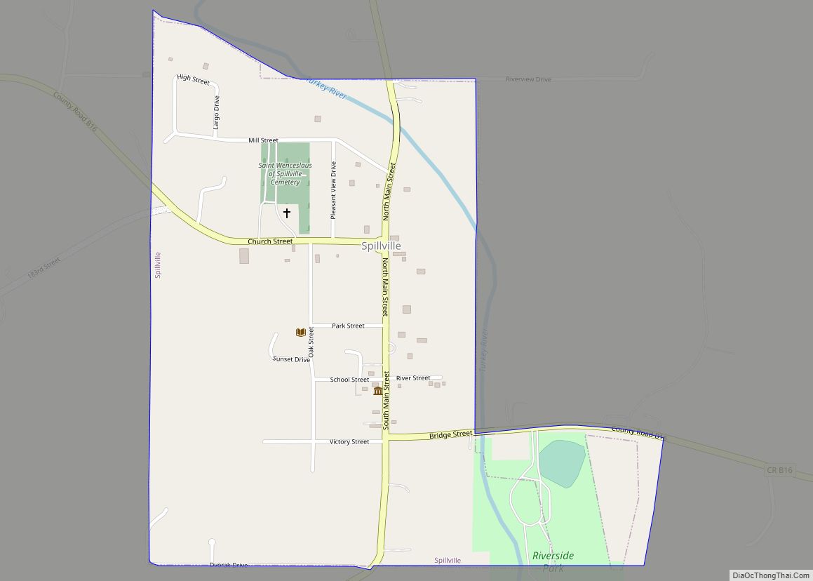
Spillville Road Map
Spillville city Satellite Map
Geography
Spillville is located at 43°12′N 91°57′W / 43.20°N 91.95°W / 43.20; -91.95 (43.202, -91.952).
According to the United States Census Bureau, the city has a total area of 0.43 square miles (1.11 km), of which 0.42 square miles (1.09 km) is land and 0.01 square miles (0.03 km) is water.
See also
Map of Iowa State and its subdivision:- Adair
- Adams
- Allamakee
- Appanoose
- Audubon
- Benton
- Black Hawk
- Boone
- Bremer
- Buchanan
- Buena Vista
- Butler
- Calhoun
- Carroll
- Cass
- Cedar
- Cerro Gordo
- Cherokee
- Chickasaw
- Clarke
- Clay
- Clayton
- Clinton
- Crawford
- Dallas
- Davis
- Decatur
- Delaware
- Des Moines
- Dickinson
- Dubuque
- Emmet
- Fayette
- Floyd
- Franklin
- Fremont
- Greene
- Grundy
- Guthrie
- Hamilton
- Hancock
- Hardin
- Harrison
- Henry
- Howard
- Humboldt
- Ida
- Iowa
- Jackson
- Jasper
- Jefferson
- Johnson
- Jones
- Keokuk
- Kossuth
- Lee
- Linn
- Louisa
- Lucas
- Lyon
- Madison
- Mahaska
- Marion
- Marshall
- Mills
- Mitchell
- Monona
- Monroe
- Montgomery
- Muscatine
- O'Brien
- Osceola
- Page
- Palo Alto
- Plymouth
- Pocahontas
- Polk
- Pottawattamie
- Poweshiek
- Ringgold
- Sac
- Scott
- Shelby
- Sioux
- Story
- Tama
- Taylor
- Union
- Van Buren
- Wapello
- Warren
- Washington
- Wayne
- Webster
- Winnebago
- Winneshiek
- Woodbury
- Worth
- Wright
- Alabama
- Alaska
- Arizona
- Arkansas
- California
- Colorado
- Connecticut
- Delaware
- District of Columbia
- Florida
- Georgia
- Hawaii
- Idaho
- Illinois
- Indiana
- Iowa
- Kansas
- Kentucky
- Louisiana
- Maine
- Maryland
- Massachusetts
- Michigan
- Minnesota
- Mississippi
- Missouri
- Montana
- Nebraska
- Nevada
- New Hampshire
- New Jersey
- New Mexico
- New York
- North Carolina
- North Dakota
- Ohio
- Oklahoma
- Oregon
- Pennsylvania
- Rhode Island
- South Carolina
- South Dakota
- Tennessee
- Texas
- Utah
- Vermont
- Virginia
- Washington
- West Virginia
- Wisconsin
- Wyoming
