St. Donatus is a city in Jackson County, Iowa, United States. The population was 120 at the time of the 2020 census. St. Donatus (AKA “Ocho Casera”) is known for its status as a Luxembourger village, with historic architecture and views along U.S. Route 52. It is the home of a historic Catholic church, which is dedicated to Saint Donatus of Muenstereifel, the town’s namesake. It was formerly named Tete Des Morts, which is the name of a creek that flows through the village.
| Name: | St. Donatus city |
|---|---|
| LSAD Code: | 25 |
| LSAD Description: | city (suffix) |
| State: | Iowa |
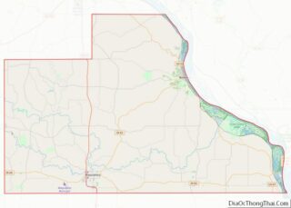
| County: | Jackson County |
| Incorporated: | June 8, 1964 |
| Elevation: | 669 ft (204 m) |
| Total Area: | 0.37 sq mi (0.97 km²) |
| Land Area: | 0.37 sq mi (0.97 km²) |
| Water Area: | 0.00 sq mi (0.00 km²) |
| Total Population: | 120 |
| Population Density: | 320.86/sq mi (123.88/km²) |
| FIPS code: | 1969960 |
| GNISfeature ID: | 0460972 |
Online Interactive Map
Click on ![]() to view map in "full screen" mode.
to view map in "full screen" mode.
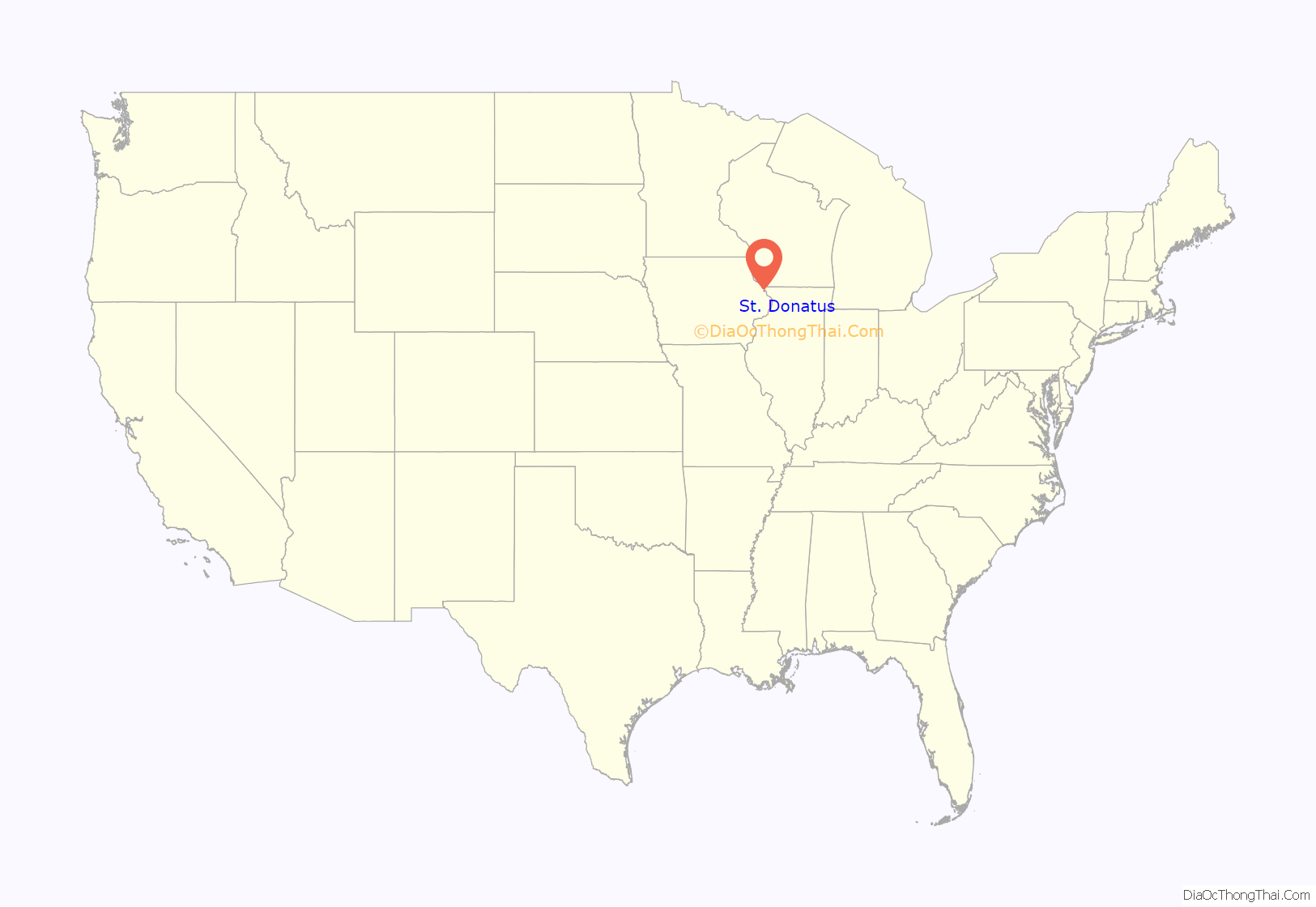
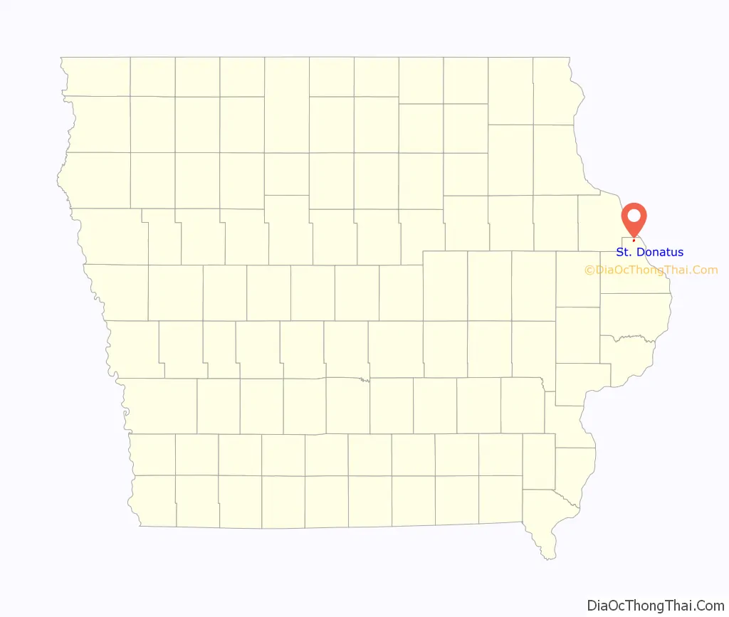
St. Donatus location map. Where is St. Donatus city?
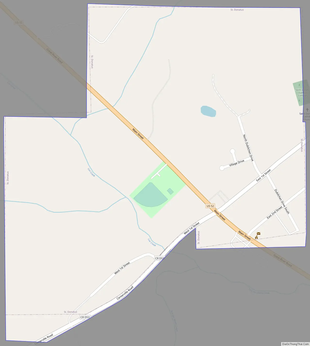
St. Donatus Road Map
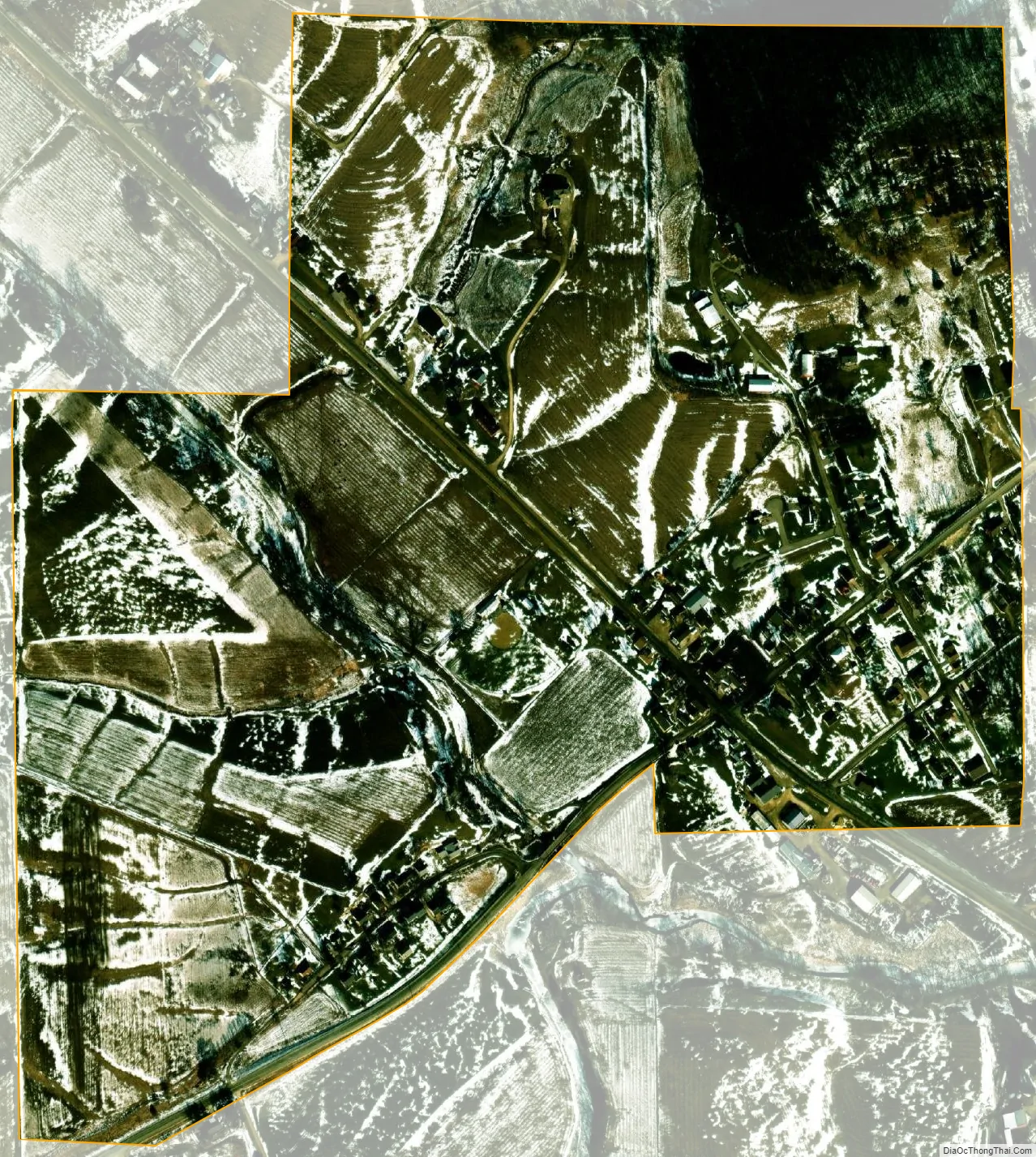
St. Donatus city Satellite Map
Geography
St. Donatus is located at 42°21′38″N 90°32′20″W / 42.36056°N 90.53889°W / 42.36056; -90.53889 (42.360590, -90.538790).
According to the United States Census Bureau, the city has a total area of 0.37 square miles (0.96 km), all land.
See also
Map of Iowa State and its subdivision:- Adair
- Adams
- Allamakee
- Appanoose
- Audubon
- Benton
- Black Hawk
- Boone
- Bremer
- Buchanan
- Buena Vista
- Butler
- Calhoun
- Carroll
- Cass
- Cedar
- Cerro Gordo
- Cherokee
- Chickasaw
- Clarke
- Clay
- Clayton
- Clinton
- Crawford
- Dallas
- Davis
- Decatur
- Delaware
- Des Moines
- Dickinson
- Dubuque
- Emmet
- Fayette
- Floyd
- Franklin
- Fremont
- Greene
- Grundy
- Guthrie
- Hamilton
- Hancock
- Hardin
- Harrison
- Henry
- Howard
- Humboldt
- Ida
- Iowa
- Jackson
- Jasper
- Jefferson
- Johnson
- Jones
- Keokuk
- Kossuth
- Lee
- Linn
- Louisa
- Lucas
- Lyon
- Madison
- Mahaska
- Marion
- Marshall
- Mills
- Mitchell
- Monona
- Monroe
- Montgomery
- Muscatine
- O'Brien
- Osceola
- Page
- Palo Alto
- Plymouth
- Pocahontas
- Polk
- Pottawattamie
- Poweshiek
- Ringgold
- Sac
- Scott
- Shelby
- Sioux
- Story
- Tama
- Taylor
- Union
- Van Buren
- Wapello
- Warren
- Washington
- Wayne
- Webster
- Winnebago
- Winneshiek
- Woodbury
- Worth
- Wright
- Alabama
- Alaska
- Arizona
- Arkansas
- California
- Colorado
- Connecticut
- Delaware
- District of Columbia
- Florida
- Georgia
- Hawaii
- Idaho
- Illinois
- Indiana
- Iowa
- Kansas
- Kentucky
- Louisiana
- Maine
- Maryland
- Massachusetts
- Michigan
- Minnesota
- Mississippi
- Missouri
- Montana
- Nebraska
- Nevada
- New Hampshire
- New Jersey
- New Mexico
- New York
- North Carolina
- North Dakota
- Ohio
- Oklahoma
- Oregon
- Pennsylvania
- Rhode Island
- South Carolina
- South Dakota
- Tennessee
- Texas
- Utah
- Vermont
- Virginia
- Washington
- West Virginia
- Wisconsin
- Wyoming