Thor is a town in Norway Township, Humboldt County, Iowa, United States. The population was 181 at the time of the 2020 census.
| Name: | Thor city |
|---|---|
| LSAD Code: | 25 |
| LSAD Description: | city (suffix) |
| State: | Iowa |
| County: | Humboldt County |
| Elevation: | 1,138 ft (347 m) |
| Total Area: | 0.99 sq mi (2.58 km²) |
| Land Area: | 0.99 sq mi (2.58 km²) |
| Water Area: | 0.00 sq mi (0.00 km²) |
| Total Population: | 181 |
| Population Density: | 181.91/sq mi (70.21/km²) |
| ZIP code: | 50591 |
| Area code: | 515 |
| FIPS code: | 1977790 |
| GNISfeature ID: | 0462224 |
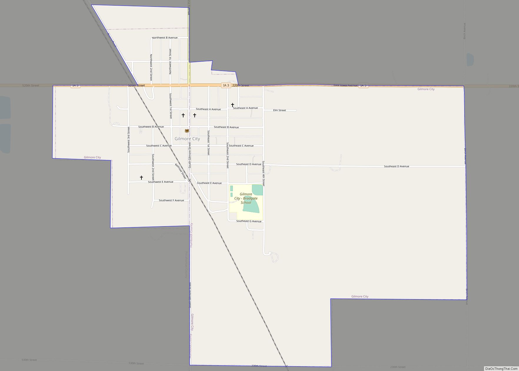
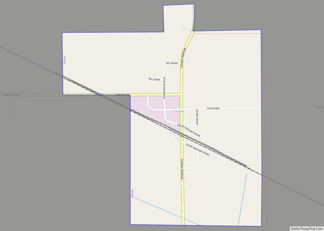
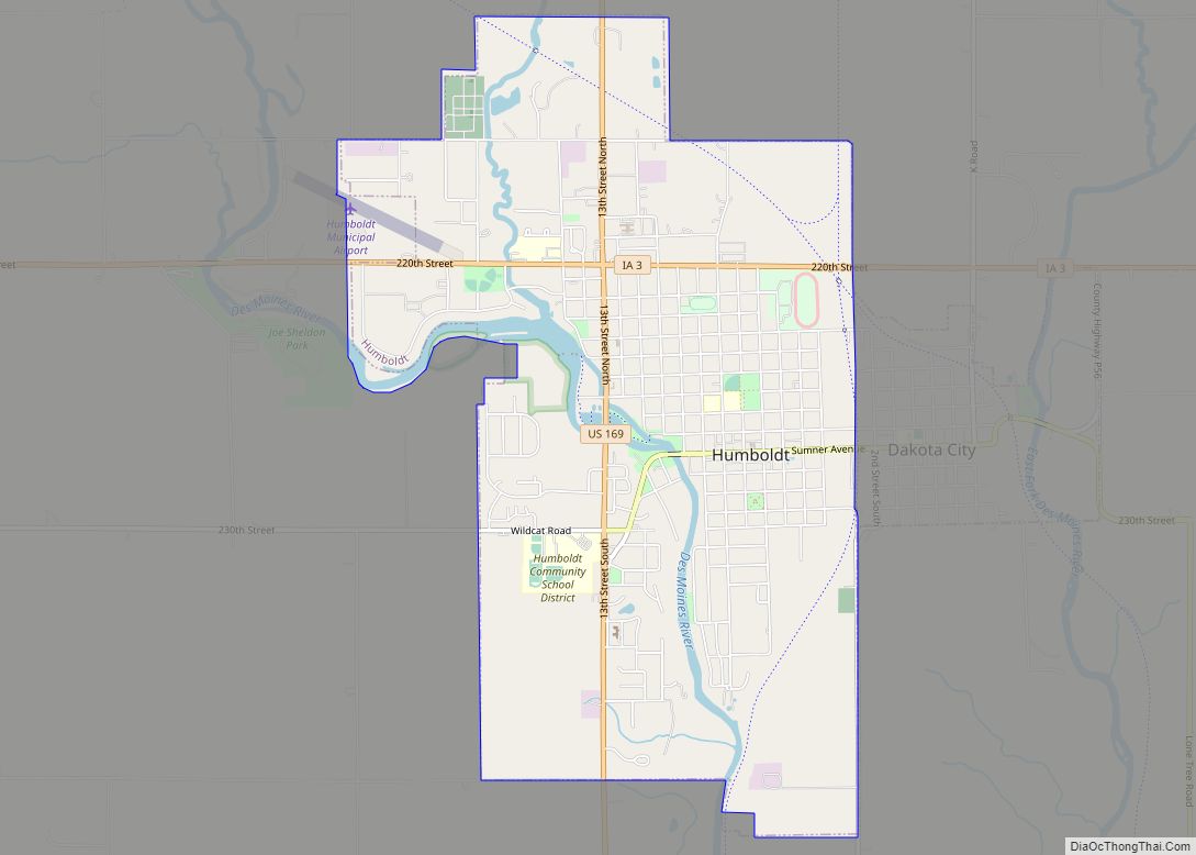
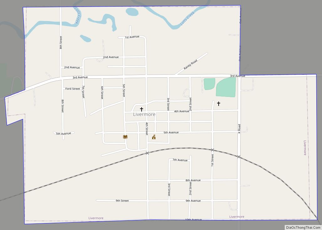
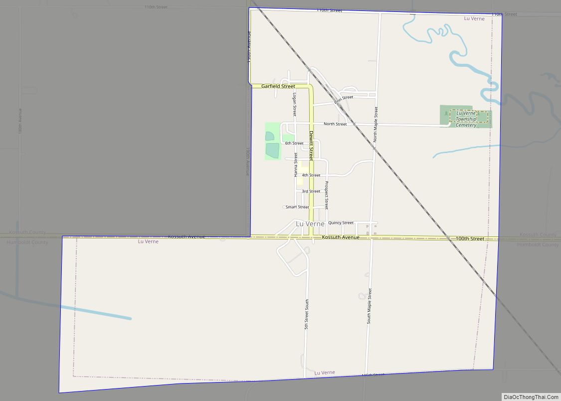
Online Interactive Map
Click on ![]() to view map in "full screen" mode.
to view map in "full screen" mode.
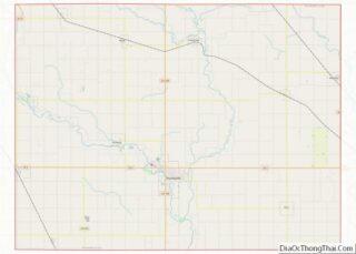
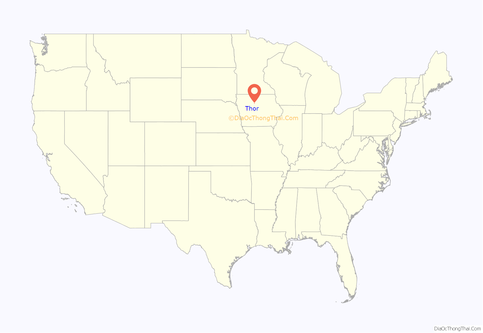
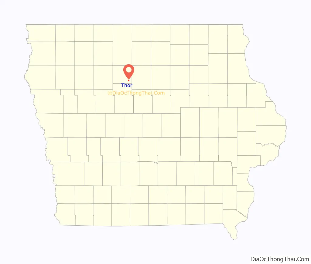
Thor location map. Where is Thor city?
History
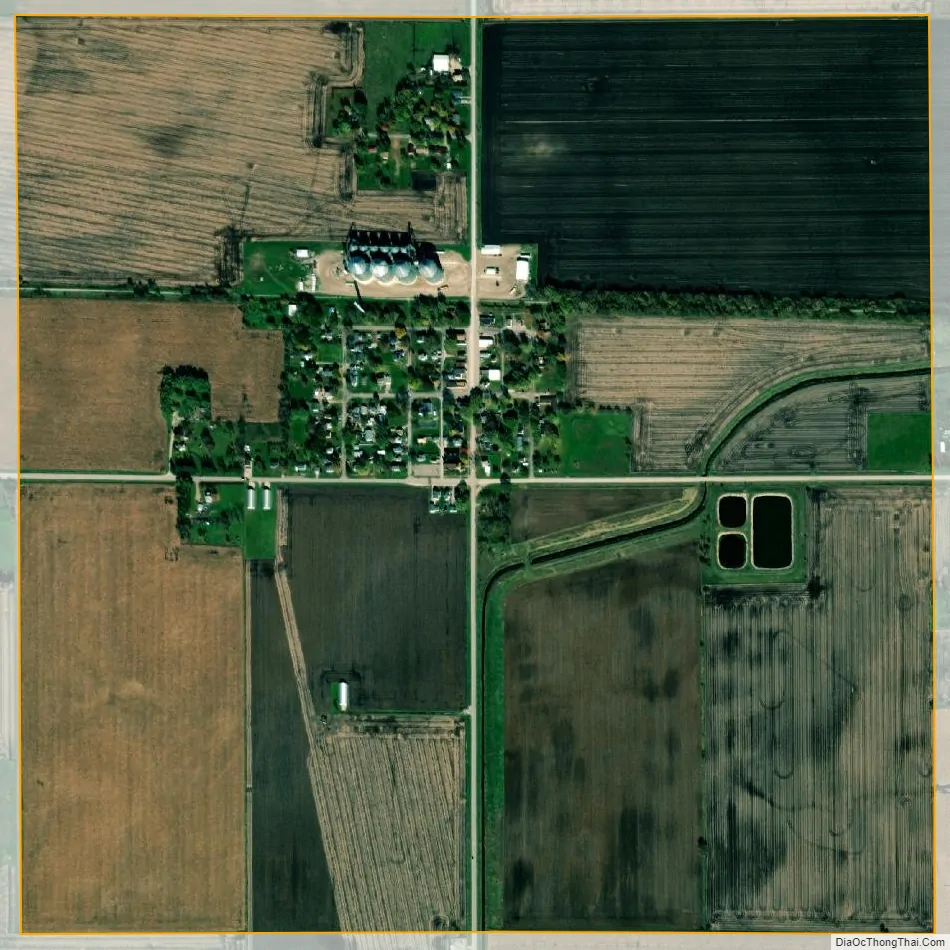
The town of Thor is a farming community which was originally built up chiefly by Scandinavian immigrants. Settlement of the township started in 1869 with the filing of a claim by Ole Willicksen, who was a native of Stavanger, Norway. In 1881, the town of Thor was laid out by the Western Town Lot Company. Thor was platted in 1882. It was named after the mythical deity Thor in Old Norse mythology.
Thor was formerly serviced by Iowa Highway 302, which was decommissioned in 1980.
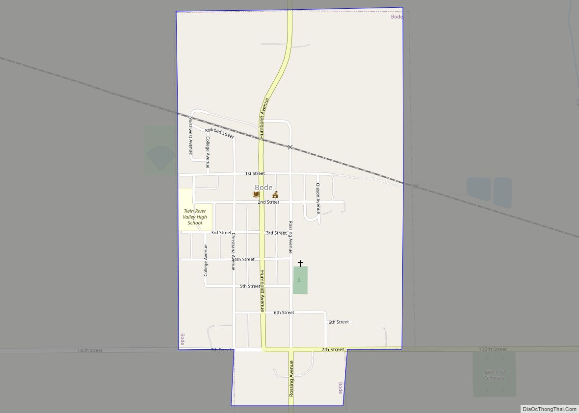
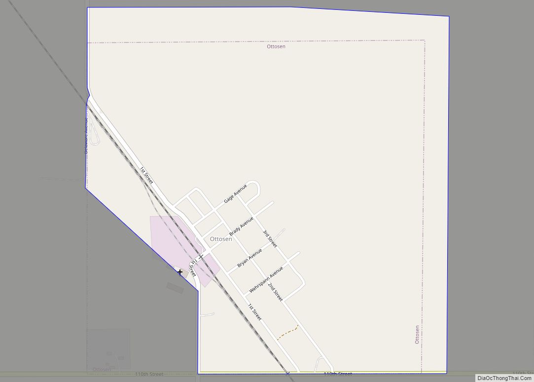
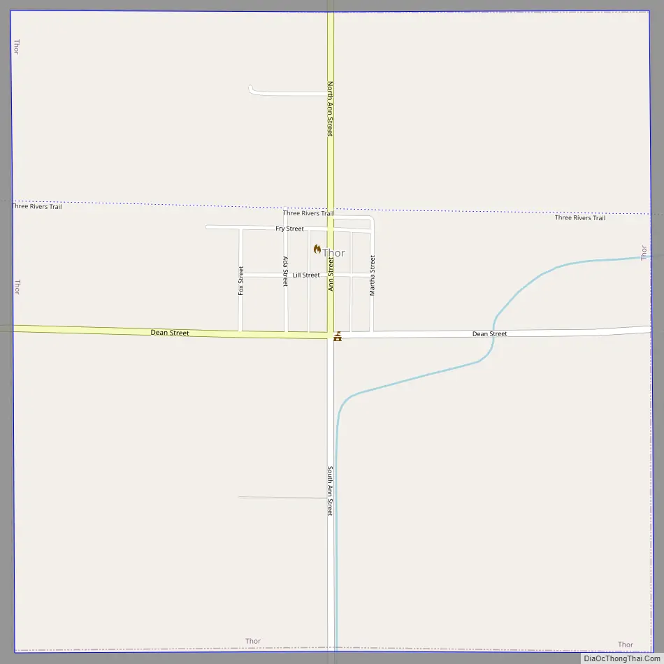
Thor Road Map
Thor city Satellite Map
Geography
Thor is located at 42°41′19″N 94°2′56″W / 42.68861°N 94.04889°W / 42.68861; -94.04889 (42.688687, -94.048902).
According to the United States Census Bureau, the city has a total area of 1.00 square mile (2.59 km), all land.
See also
Map of Iowa State and its subdivision:- Adair
- Adams
- Allamakee
- Appanoose
- Audubon
- Benton
- Black Hawk
- Boone
- Bremer
- Buchanan
- Buena Vista
- Butler
- Calhoun
- Carroll
- Cass
- Cedar
- Cerro Gordo
- Cherokee
- Chickasaw
- Clarke
- Clay
- Clayton
- Clinton
- Crawford
- Dallas
- Davis
- Decatur
- Delaware
- Des Moines
- Dickinson
- Dubuque
- Emmet
- Fayette
- Floyd
- Franklin
- Fremont
- Greene
- Grundy
- Guthrie
- Hamilton
- Hancock
- Hardin
- Harrison
- Henry
- Howard
- Humboldt
- Ida
- Iowa
- Jackson
- Jasper
- Jefferson
- Johnson
- Jones
- Keokuk
- Kossuth
- Lee
- Linn
- Louisa
- Lucas
- Lyon
- Madison
- Mahaska
- Marion
- Marshall
- Mills
- Mitchell
- Monona
- Monroe
- Montgomery
- Muscatine
- O'Brien
- Osceola
- Page
- Palo Alto
- Plymouth
- Pocahontas
- Polk
- Pottawattamie
- Poweshiek
- Ringgold
- Sac
- Scott
- Shelby
- Sioux
- Story
- Tama
- Taylor
- Union
- Van Buren
- Wapello
- Warren
- Washington
- Wayne
- Webster
- Winnebago
- Winneshiek
- Woodbury
- Worth
- Wright
- Alabama
- Alaska
- Arizona
- Arkansas
- California
- Colorado
- Connecticut
- Delaware
- District of Columbia
- Florida
- Georgia
- Hawaii
- Idaho
- Illinois
- Indiana
- Iowa
- Kansas
- Kentucky
- Louisiana
- Maine
- Maryland
- Massachusetts
- Michigan
- Minnesota
- Mississippi
- Missouri
- Montana
- Nebraska
- Nevada
- New Hampshire
- New Jersey
- New Mexico
- New York
- North Carolina
- North Dakota
- Ohio
- Oklahoma
- Oregon
- Pennsylvania
- Rhode Island
- South Carolina
- South Dakota
- Tennessee
- Texas
- Utah
- Vermont
- Virginia
- Washington
- West Virginia
- Wisconsin
- Wyoming