Underwood is a town in Pottawattamie County, Iowa, United States. The population was 954 at the time of the 2020 census.
| Name: | Underwood city |
|---|---|
| LSAD Code: | 25 |
| LSAD Description: | city (suffix) |
| State: | Iowa |
| County: | Pottawattamie County |
| Elevation: | 1,070 ft (326 m) |
| Total Area: | 1.11 sq mi (2.89 km²) |
| Land Area: | 1.09 sq mi (2.82 km²) |
| Water Area: | 0.03 sq mi (0.07 km²) |
| Total Population: | 954 |
| Population Density: | 876.03/sq mi (338.19/km²) |
| ZIP code: | 51576 |
| Area code: | 712 |
| FIPS code: | 1979500 |
| GNISfeature ID: | 0462415 |
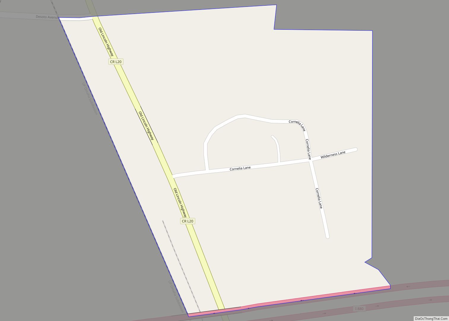
Online Interactive Map
Click on ![]() to view map in "full screen" mode.
to view map in "full screen" mode.
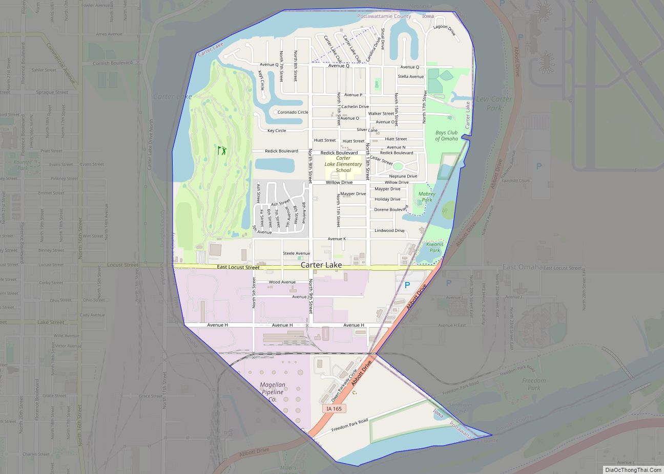
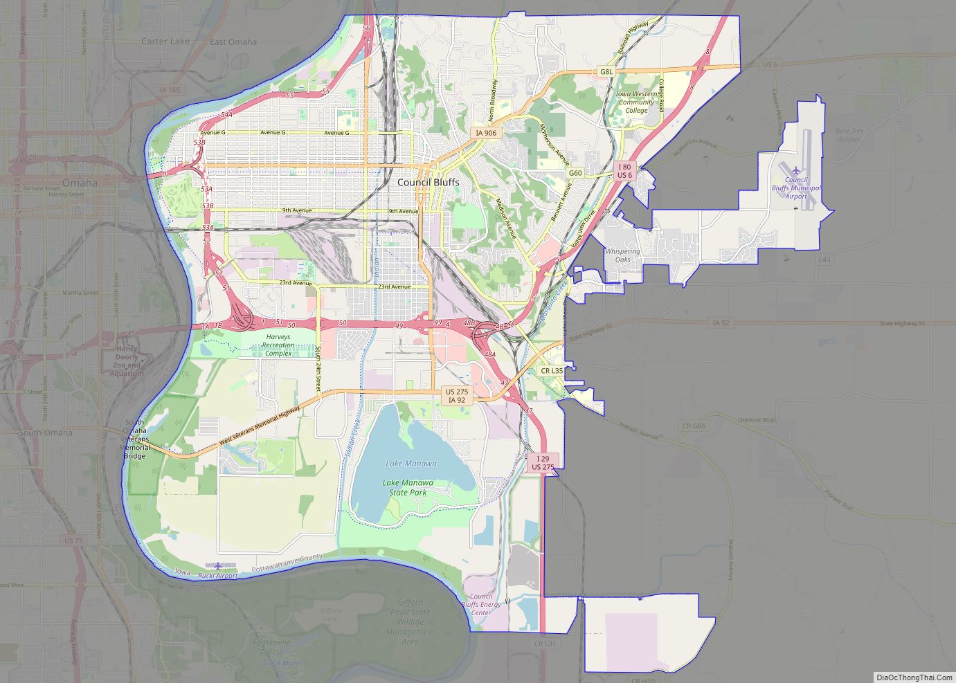
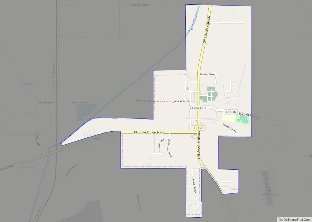
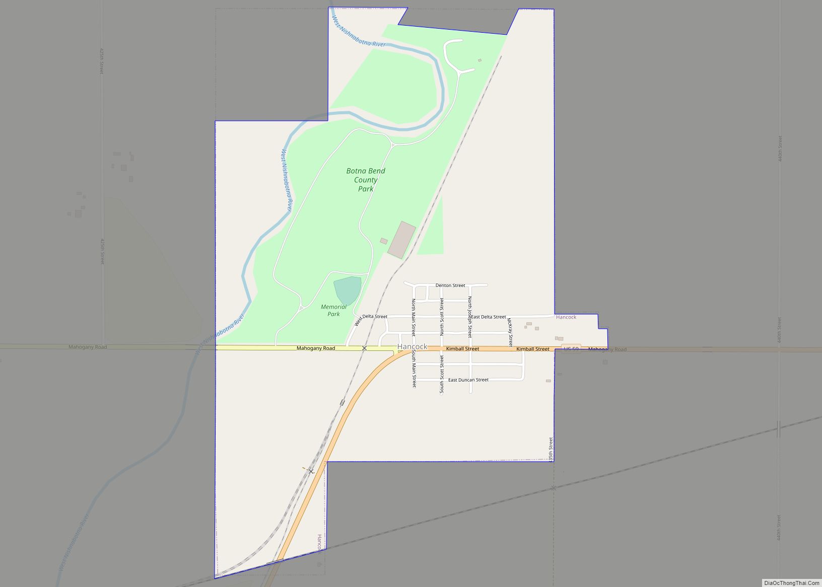
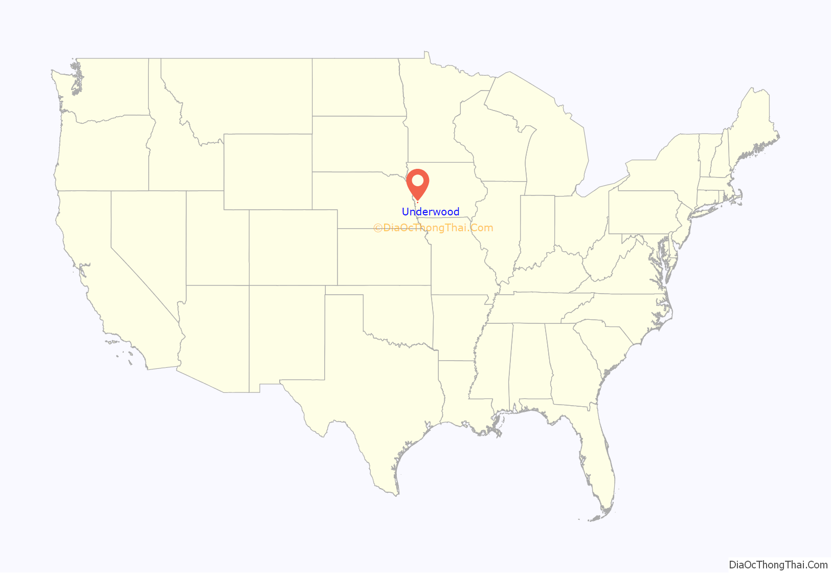
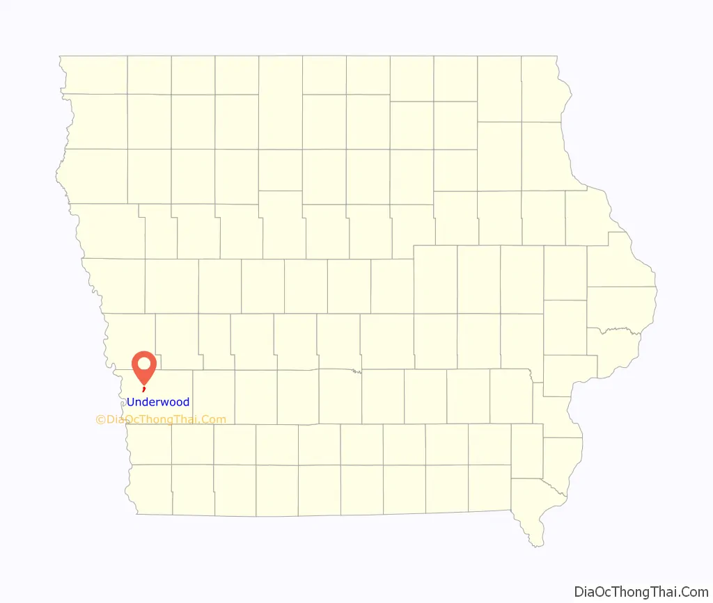
Underwood location map. Where is Underwood city?
History
Underwood is located in Norwalk Township, so the early history of the township is also of the town. The historical information provided here was taken from a book on Pottawattamie County’s past. The principal early settlers of the area arrived during the period from 1845 to 1850. In 1847, a flour mill and a saw mill were built on Mosquito Creek, southwest of the present site of Underwood. In 1850, the flour mill was destroyed by a flood. The first school was built in 1863, and soon more homes were built near the school and saw mill. It became known as Downsville. A post office was established there.
With the coming of the Chicago, Rock Island and Pacific Railroad in 1869, the town of Underwood was established three miles northeast of Downsville, which was later abandoned and has entirely disappeared (with the exception of a cemetery). In 1882, the other railroad that crossed through Norwalk Township, Chicago, Milwaukee and St. Paul, built a station house, erected a water tank and laid a switch. These improvements were on portions of the farms owned by two men and their farms were to be surveyed and divided into town lots. The name Underwood comes from the name of the first engineer to run a train over the Milwaukee tracks. Two farmers cut the corn stalks off to make a road to the Milwaukee tracks so the depot could be built. This path later became “Main Street”.
In 1902, the town was incorporated, a town marshal appointed, sidewalks constructed and a jail built at the cost of $140. The first addition to the town was presented to the town council in 1903. The old school house was moved onto town property and made into a town hall. In 1905, five street lamps were purchased, sidewalks and streets were extended. From 1907 to 1910 the telephone came to town, a water works system was installed and cement sidewalks constructed. By 1917 a fire department was organized. In 1926 a new consolidated school was built at the cost of approximately $75,000. There were 62 students in high school and 116 in the grades with seven teachers in charge.
In 1965, sewer mains were installed. The new Western Electric plant was finished in 1974 and they helped bring the town’s sewer plant up to date.
In 2012, Jack Links opened a distribution center in Underwood, providing a $15,000 donation to the community alongside this.
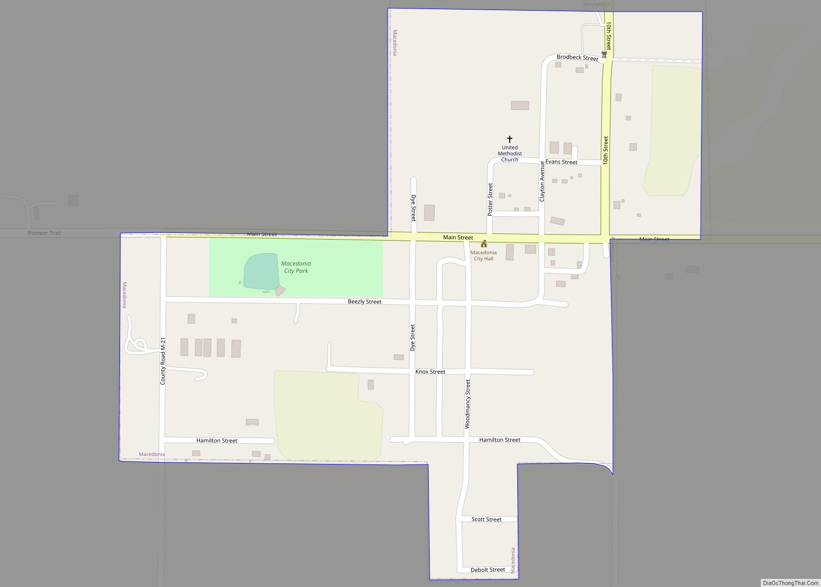
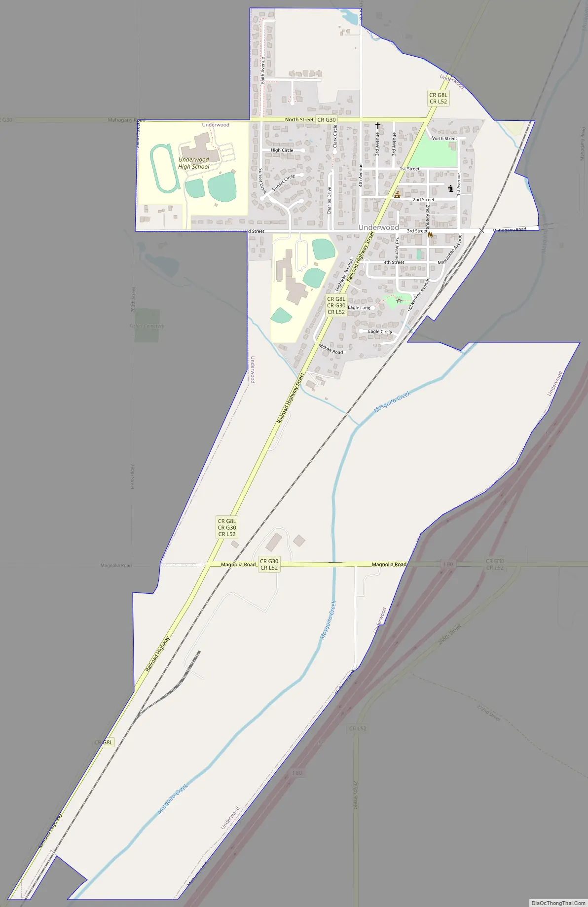
Underwood Road Map
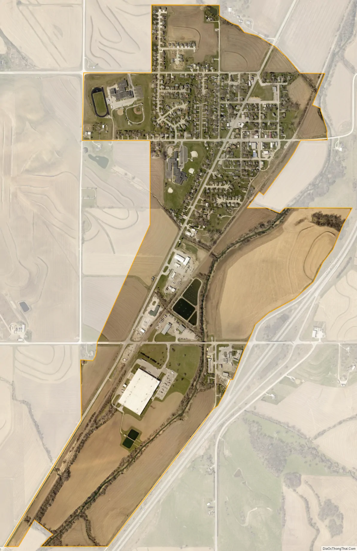
Underwood city Satellite Map
Geography
Underwood is located at 41°23′13″N 95°40′43″W / 41.38694°N 95.67861°W / 41.38694; -95.67861 (41.386944, -95.678584). According to the United States Census Bureau, the town has a total area of 0.46 square miles (1.19 km), all land. Underwood, Iowa is located in the Loess Hills, a prairie made of windblown soil deposited following the last Ice Age.
See also
Map of Iowa State and its subdivision:- Adair
- Adams
- Allamakee
- Appanoose
- Audubon
- Benton
- Black Hawk
- Boone
- Bremer
- Buchanan
- Buena Vista
- Butler
- Calhoun
- Carroll
- Cass
- Cedar
- Cerro Gordo
- Cherokee
- Chickasaw
- Clarke
- Clay
- Clayton
- Clinton
- Crawford
- Dallas
- Davis
- Decatur
- Delaware
- Des Moines
- Dickinson
- Dubuque
- Emmet
- Fayette
- Floyd
- Franklin
- Fremont
- Greene
- Grundy
- Guthrie
- Hamilton
- Hancock
- Hardin
- Harrison
- Henry
- Howard
- Humboldt
- Ida
- Iowa
- Jackson
- Jasper
- Jefferson
- Johnson
- Jones
- Keokuk
- Kossuth
- Lee
- Linn
- Louisa
- Lucas
- Lyon
- Madison
- Mahaska
- Marion
- Marshall
- Mills
- Mitchell
- Monona
- Monroe
- Montgomery
- Muscatine
- O'Brien
- Osceola
- Page
- Palo Alto
- Plymouth
- Pocahontas
- Polk
- Pottawattamie
- Poweshiek
- Ringgold
- Sac
- Scott
- Shelby
- Sioux
- Story
- Tama
- Taylor
- Union
- Van Buren
- Wapello
- Warren
- Washington
- Wayne
- Webster
- Winnebago
- Winneshiek
- Woodbury
- Worth
- Wright
- Alabama
- Alaska
- Arizona
- Arkansas
- California
- Colorado
- Connecticut
- Delaware
- District of Columbia
- Florida
- Georgia
- Hawaii
- Idaho
- Illinois
- Indiana
- Iowa
- Kansas
- Kentucky
- Louisiana
- Maine
- Maryland
- Massachusetts
- Michigan
- Minnesota
- Mississippi
- Missouri
- Montana
- Nebraska
- Nevada
- New Hampshire
- New Jersey
- New Mexico
- New York
- North Carolina
- North Dakota
- Ohio
- Oklahoma
- Oregon
- Pennsylvania
- Rhode Island
- South Carolina
- South Dakota
- Tennessee
- Texas
- Utah
- Vermont
- Virginia
- Washington
- West Virginia
- Wisconsin
- Wyoming