Edgerton is a city in Johnson County, Kansas, United States, and part of the Kansas City metropolitan area. As of the 2020 census, the population of the city was 1,748. It is home to a large BNSF intermodal train facility named Logistics Park Kansas City.
| Name: | Edgerton city |
|---|---|
| LSAD Code: | 25 |
| LSAD Description: | city (suffix) |
| State: | Kansas |
| County: | Johnson County |
| Founded: | 1870 |
| Incorporated: | 1883 |
| Elevation: | 1,001 ft (305 m) |
| Total Area: | 7.39 sq mi (19.15 km²) |
| Land Area: | 7.33 sq mi (18.98 km²) |
| Water Area: | 0.06 sq mi (0.16 km²) |
| Total Population: | 1,748 |
| Population Density: | 240/sq mi (91/km²) |
| ZIP code: | 66021 |
| Area code: | 913 |
| FIPS code: | 2019825 |
| Website: | edgertonks.org |
Online Interactive Map
Click on ![]() to view map in "full screen" mode.
to view map in "full screen" mode.
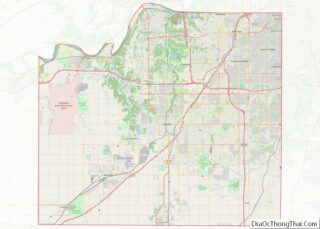
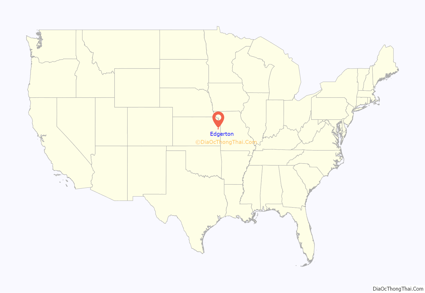
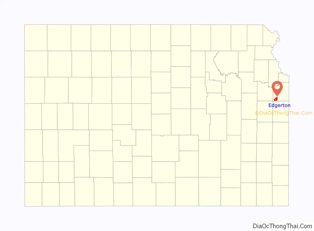
Edgerton location map. Where is Edgerton city?
History
Edgerton was founded in 1870 when the railroad was extended to that point. It was named for the chief engineer of the Atchison, Topeka and Santa Fe Railway.
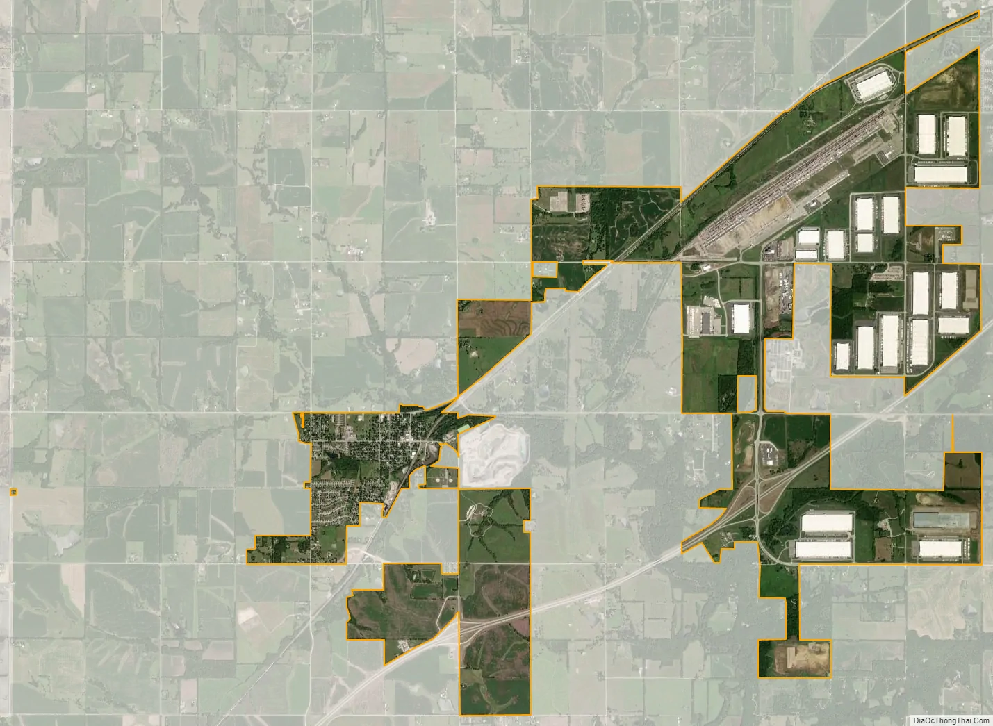
In October 2010, BNSF Railway announced plans to build its new 443-acre $250 million intermodal shipping facility in Edgerton, and after completion will replace the current one in Kansas City, Kansas. An adjacent $500 million industrial park with more than 7,000,000 square feet (650,000 m) of warehouse space will be built over 10 years. It officially opened in October 2013. When the logistics park is fully built out, according to its 1,550-acre master plan, its capacity at that point will be 1.5 million containers annually.
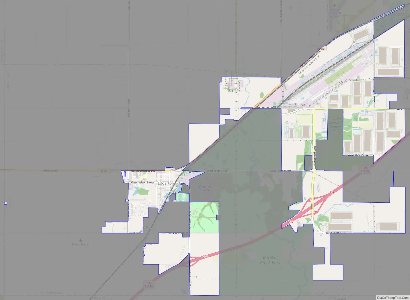
Edgerton Road Map
Edgerton city Satellite Map
Geography
Edgerton is located at 38°45′49″N 95°0′37″W / 38.76361°N 95.01028°W / 38.76361; -95.01028 (38.763639, -95.010239). According to the United States Census Bureau, the city has a total area of 2.22 square miles (5.75 km), of which 2.18 square miles (5.65 km) is land and 0.04 square miles (0.10 km) is water.
See also
Map of Kansas State and its subdivision:- Allen
- Anderson
- Atchison
- Barber
- Barton
- Bourbon
- Brown
- Butler
- Chase
- Chautauqua
- Cherokee
- Cheyenne
- Clark
- Clay
- Cloud
- Coffey
- Comanche
- Cowley
- Crawford
- Decatur
- Dickinson
- Doniphan
- Douglas
- Edwards
- Elk
- Ellis
- Ellsworth
- Finney
- Ford
- Franklin
- Geary
- Gove
- Graham
- Grant
- Gray
- Greeley
- Greenwood
- Hamilton
- Harper
- Harvey
- Haskell
- Hodgeman
- Jackson
- Jefferson
- Jewell
- Johnson
- Kearny
- Kingman
- Kiowa
- Labette
- Lane
- Leavenworth
- Lincoln
- Linn
- Logan
- Lyon
- Marion
- Marshall
- McPherson
- Meade
- Miami
- Mitchell
- Montgomery
- Morris
- Morton
- Nemaha
- Neosho
- Ness
- Norton
- Osage
- Osborne
- Ottawa
- Pawnee
- Phillips
- Pottawatomie
- Pratt
- Rawlins
- Reno
- Republic
- Rice
- Riley
- Rooks
- Rush
- Russell
- Saline
- Scott
- Sedgwick
- Seward
- Shawnee
- Sheridan
- Sherman
- Smith
- Stafford
- Stanton
- Stevens
- Sumner
- Thomas
- Trego
- Wabaunsee
- Wallace
- Washington
- Wichita
- Wilson
- Woodson
- Wyandotte
- Alabama
- Alaska
- Arizona
- Arkansas
- California
- Colorado
- Connecticut
- Delaware
- District of Columbia
- Florida
- Georgia
- Hawaii
- Idaho
- Illinois
- Indiana
- Iowa
- Kansas
- Kentucky
- Louisiana
- Maine
- Maryland
- Massachusetts
- Michigan
- Minnesota
- Mississippi
- Missouri
- Montana
- Nebraska
- Nevada
- New Hampshire
- New Jersey
- New Mexico
- New York
- North Carolina
- North Dakota
- Ohio
- Oklahoma
- Oregon
- Pennsylvania
- Rhode Island
- South Carolina
- South Dakota
- Tennessee
- Texas
- Utah
- Vermont
- Virginia
- Washington
- West Virginia
- Wisconsin
- Wyoming