Fairway is a city in Johnson County, Kansas, United States, and is included in the Kansas City Metropolitan Area census designation and the Shawnee Mission postal services designation. As of the 2020 census, the population of the city was 4,170.
| Name: | Fairway city |
|---|---|
| LSAD Code: | 25 |
| LSAD Description: | city (suffix) |
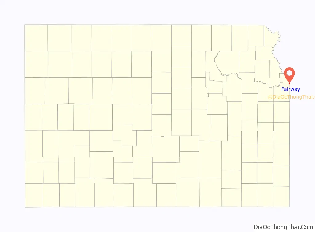
| State: | Kansas |
| County: | Johnson County |
| Founded: | 1930s |
| Incorporated: | 1949 |
| Elevation: | 958 ft (292 m) |
| Total Area: | 1.13 sq mi (2.92 km²) |
| Land Area: | 1.13 sq mi (2.92 km²) |
| Water Area: | 0.00 sq mi (0.00 km²) |
| Total Population: | 4,170 |
| Population Density: | 3,700/sq mi (1,400/km²) |
| ZIP code: | 66205 |
| Area code: | 913 |
| FIPS code: | 2022700 |
| Website: | fairwaykansas.org |
Online Interactive Map
Click on ![]() to view map in "full screen" mode.
to view map in "full screen" mode.
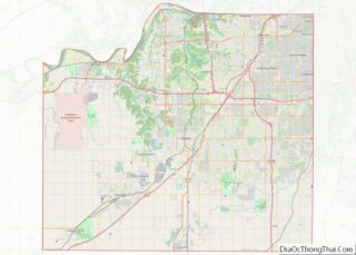
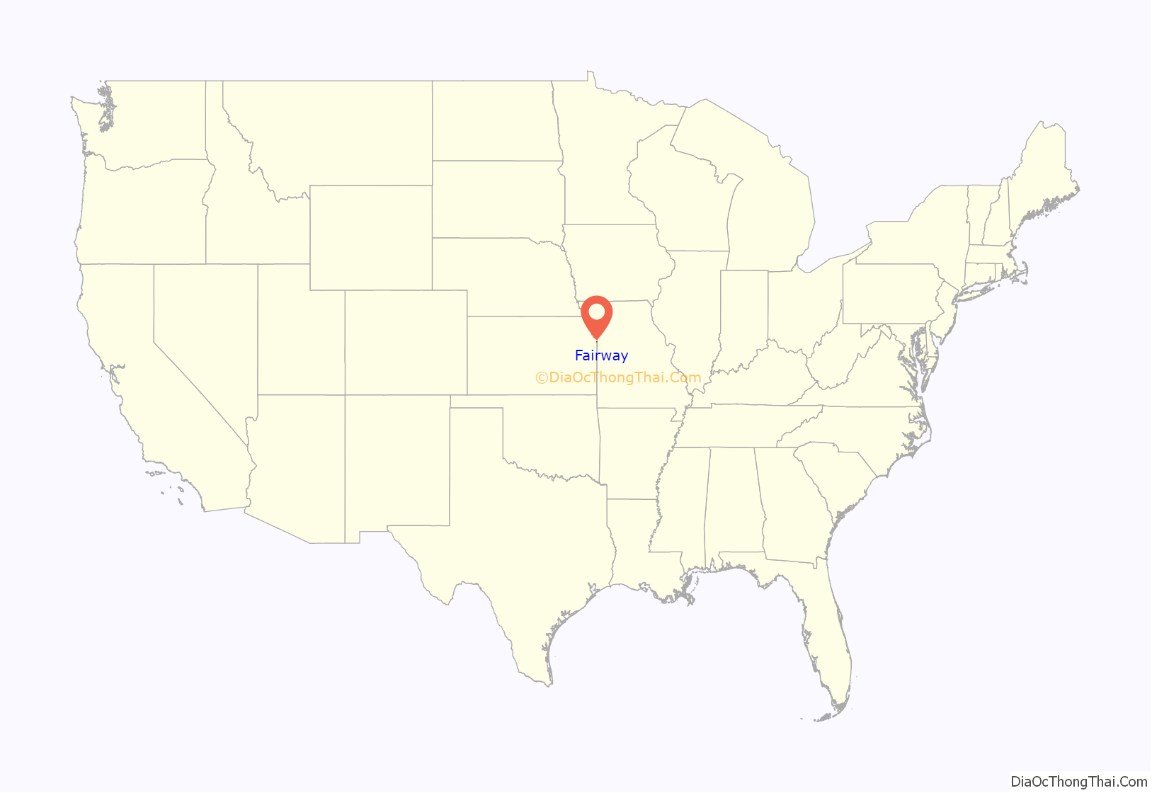
Fairway location map. Where is Fairway city?
History
In the 1820s, the federal government reserved this area for use by the Shawnee people, who had ceded their lands east of the Mississippi River to the United States. In 1839 Methodists established the Shawnee Methodist Mission here to operate a school for the Shawnee and try to convert them to Christianity. Later it was named the Shawnee Indian Manual Labor School and also accepted Native American boarding students.
Today the 12-acre (4.86-hectare) site has three remaining buildings; together these are known as the Shawnee Indian Mission. Most students who died at the school are believed to have been buried in unmarked graves on the grounds. Native American tribes and First Nations in Canada have been increasingly concerned in the 21st century with identifying and claiming remains of their children buried at such boarding schools, which forced separation from their families.
During Territorial Kansas, this community was briefly the pro-slavery capital, one of the competing capitals of Kansas. After the American Civil War, European-American settlers were moving west in greater number and began to encroach on this territory. The federal government relocated the Shawnee again, forcing them to an area of Indian Territory (it is now within the present-day state of Oklahoma).
The Shawnee Mission at Fairway is owned by the Kansas Historical Society. It has been designated as a National Historic Landmark and is operated by the city of Fairway as a museum. While state officials said in October 2022 that they planned to conduct a ground study to search for unmarked graves of Native Americans at this site, the tribe objected that they had not been fully consulted. They conducted an independent architectural survey to assess the costs of repairing the buildings. They have requested that the Kansas Historical Society and city transfer the property to them so they may undertake repairs and restoration, but so far have been refused.
In the 1930s, as Kansas City suburbs were developing, a developer laid out a subdivision near a golf course. It was named Fairway from its proximity to several driving ranges. Fairway was incorporated in 1949 and is known as “The City of Trees”.
Fairway formed its own police force in 1949 with the appointment of a town marshal. This position was succeeded by police chiefs.
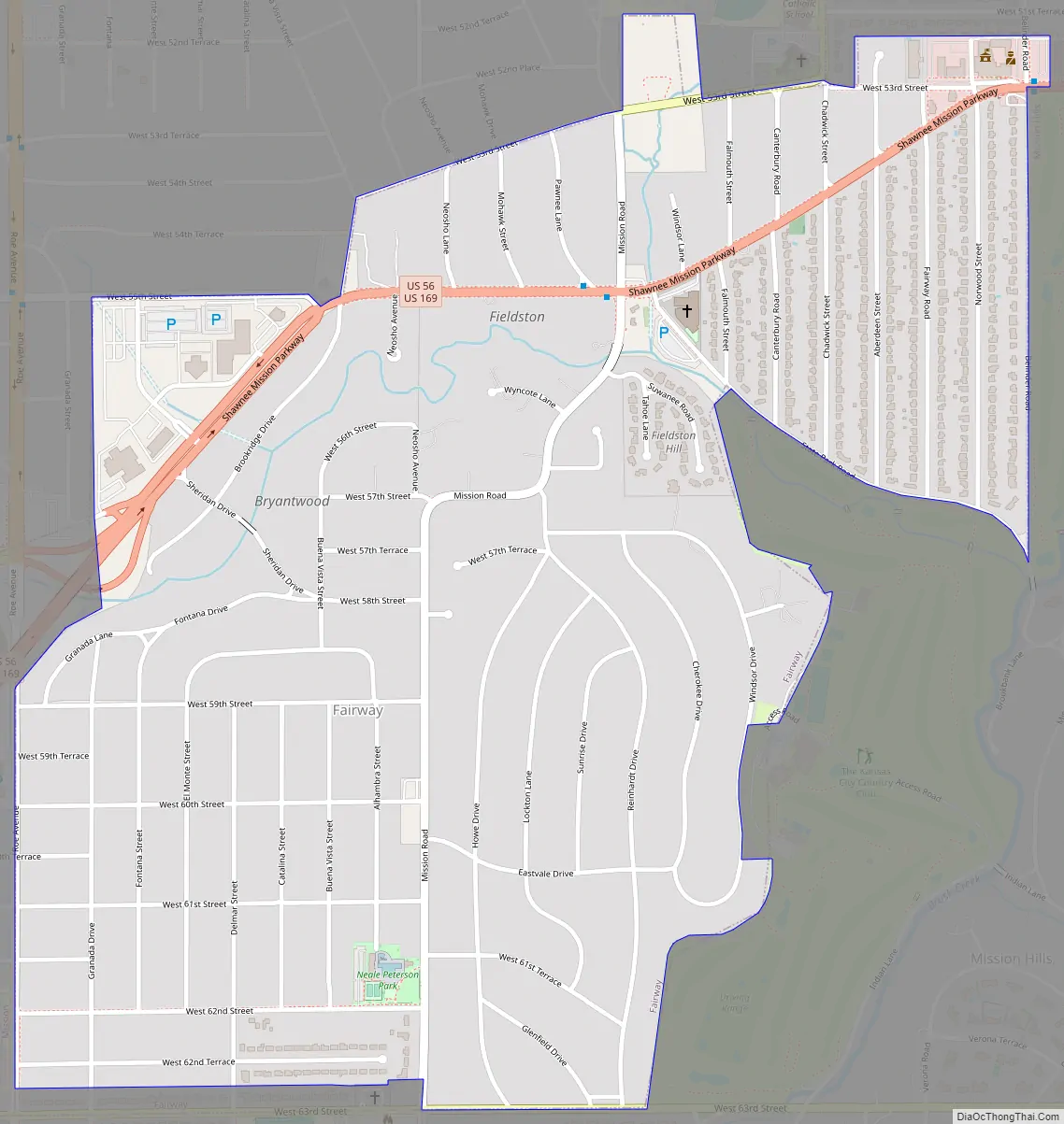
Fairway Road Map
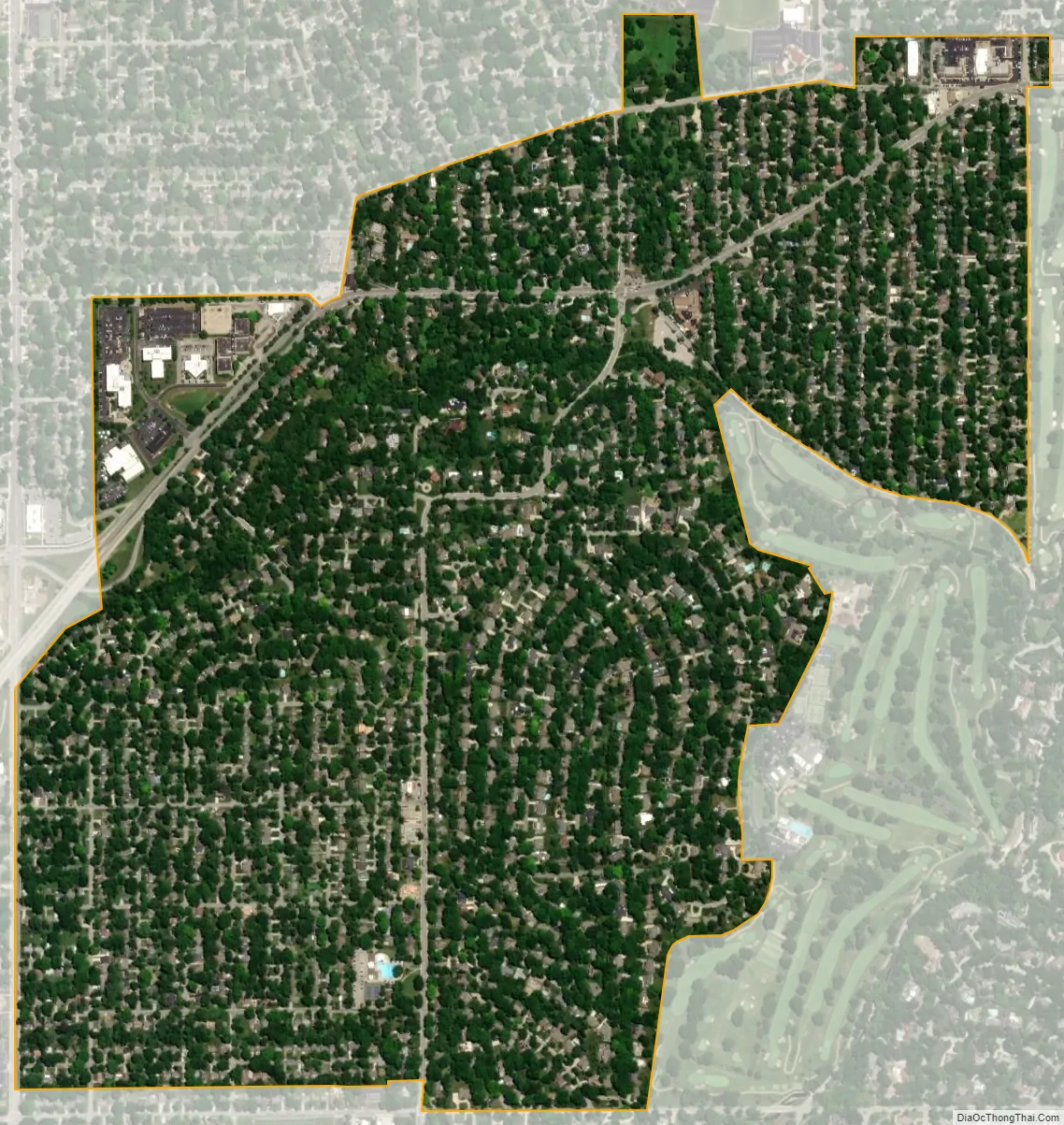
Fairway city Satellite Map
Geography
According to the United States Census Bureau, the city has a total area of 1.15 square miles (2.98 km), all of it land.
See also
Map of Kansas State and its subdivision:- Allen
- Anderson
- Atchison
- Barber
- Barton
- Bourbon
- Brown
- Butler
- Chase
- Chautauqua
- Cherokee
- Cheyenne
- Clark
- Clay
- Cloud
- Coffey
- Comanche
- Cowley
- Crawford
- Decatur
- Dickinson
- Doniphan
- Douglas
- Edwards
- Elk
- Ellis
- Ellsworth
- Finney
- Ford
- Franklin
- Geary
- Gove
- Graham
- Grant
- Gray
- Greeley
- Greenwood
- Hamilton
- Harper
- Harvey
- Haskell
- Hodgeman
- Jackson
- Jefferson
- Jewell
- Johnson
- Kearny
- Kingman
- Kiowa
- Labette
- Lane
- Leavenworth
- Lincoln
- Linn
- Logan
- Lyon
- Marion
- Marshall
- McPherson
- Meade
- Miami
- Mitchell
- Montgomery
- Morris
- Morton
- Nemaha
- Neosho
- Ness
- Norton
- Osage
- Osborne
- Ottawa
- Pawnee
- Phillips
- Pottawatomie
- Pratt
- Rawlins
- Reno
- Republic
- Rice
- Riley
- Rooks
- Rush
- Russell
- Saline
- Scott
- Sedgwick
- Seward
- Shawnee
- Sheridan
- Sherman
- Smith
- Stafford
- Stanton
- Stevens
- Sumner
- Thomas
- Trego
- Wabaunsee
- Wallace
- Washington
- Wichita
- Wilson
- Woodson
- Wyandotte
- Alabama
- Alaska
- Arizona
- Arkansas
- California
- Colorado
- Connecticut
- Delaware
- District of Columbia
- Florida
- Georgia
- Hawaii
- Idaho
- Illinois
- Indiana
- Iowa
- Kansas
- Kentucky
- Louisiana
- Maine
- Maryland
- Massachusetts
- Michigan
- Minnesota
- Mississippi
- Missouri
- Montana
- Nebraska
- Nevada
- New Hampshire
- New Jersey
- New Mexico
- New York
- North Carolina
- North Dakota
- Ohio
- Oklahoma
- Oregon
- Pennsylvania
- Rhode Island
- South Carolina
- South Dakota
- Tennessee
- Texas
- Utah
- Vermont
- Virginia
- Washington
- West Virginia
- Wisconsin
- Wyoming