Goddard is a city in Sedgwick County, Kansas, United States, and a west suburb of Wichita. As of the 2020 census, the population of the city was 5,084.
| Name: | Goddard city |
|---|---|
| LSAD Code: | 25 |
| LSAD Description: | city (suffix) |
| State: | Kansas |
| County: | Sedgwick County |
| Founded: | 1883 |
| Incorporated: | 1910 |
| Elevation: | 1,463 ft (446 m) |
| Total Area: | 4.96 sq mi (12.84 km²) |
| Land Area: | 4.90 sq mi (12.70 km²) |
| Water Area: | 0.06 sq mi (0.14 km²) |
| Total Population: | 5,084 |
| Population Density: | 1,000/sq mi (400/km²) |
| ZIP code: | 67052 |
| Area code: | 316 |
| FIPS code: | 2026725 |
| Website: | goddardks.gov |
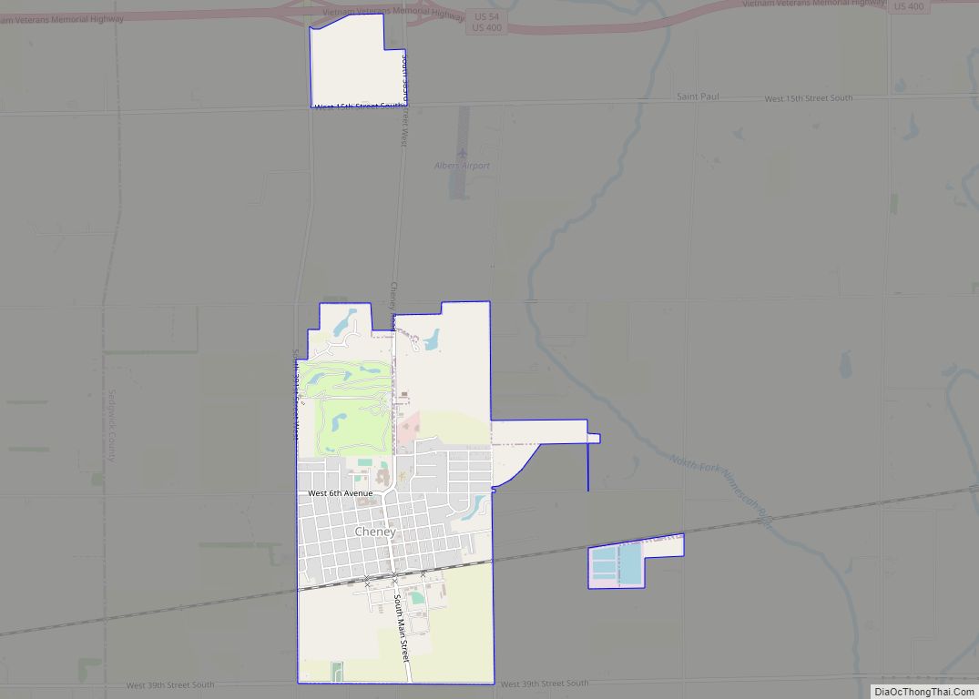
Online Interactive Map
Click on ![]() to view map in "full screen" mode.
to view map in "full screen" mode.
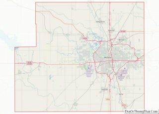
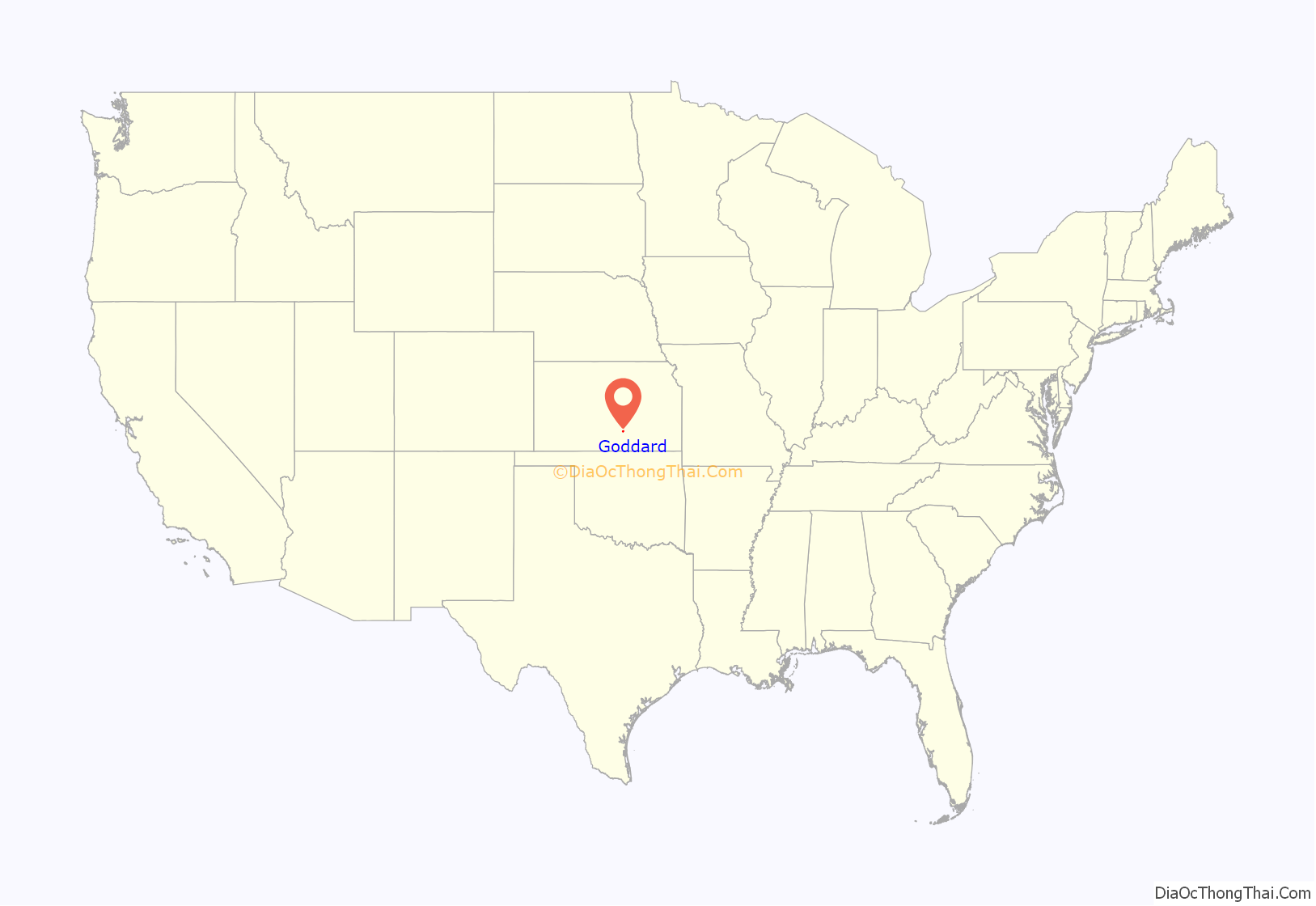
Goddard location map. Where is Goddard city?

History
In 1883, Ezekiel Wilder purchased farmland on the planned railway of the Atchison, Topeka, and Santa Fe Railway south of Blendon, Kansas, approximately 10 miles (16 km) west of Wichita. There, he established the town of Goddard in honor of J. F. Goddard, former third vice-president of the ATSF Railway. The railroad reached Goddard in 1884, and a post office was established there the same year. Several buildings were relocated from Blendon, including the town hall and the planned Methodist church. Goddard was officially incorporated in 1910.
On June 23, 1969, an F4 tornado struck Goddard. No fatalities occurred, but six people were injured.
In recent decades as Wichita has expanded westward, a growing number of commuters have settled in Goddard, transforming it from a rural agricultural community into a suburb.
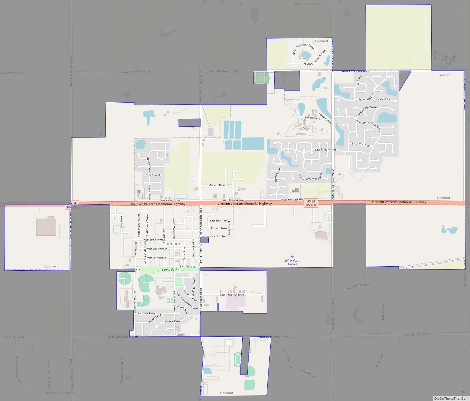
Goddard Road Map
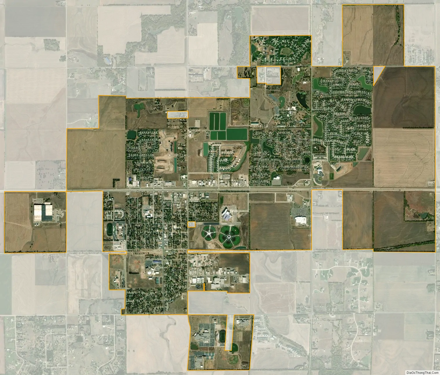
Goddard city Satellite Map
Geography
Goddard is located at 37°39′35″N 97°34′27″W / 37.65972°N 97.57417°W / 37.65972; -97.57417 (37.659706, -97.574271) at an elevation of 1,463 feet (446 m). Goddard lies on U.S. Route 54 in south-central Kansas immediately west of Wichita.
The community lies approximately 12 miles (19 km) southwest of the Arkansas River and 8 miles (13 km) north-northeast of the Ninnescah River in the Wellington-McPherson Lowlands region of the Great Plains.
According to the United States Census Bureau, the city has a total area of 4.49 square miles (11.63 km), of which, 4.43 square miles (11.47 km) is land and 0.06 square miles (0.16 km) is water.
See also
Map of Kansas State and its subdivision:- Allen
- Anderson
- Atchison
- Barber
- Barton
- Bourbon
- Brown
- Butler
- Chase
- Chautauqua
- Cherokee
- Cheyenne
- Clark
- Clay
- Cloud
- Coffey
- Comanche
- Cowley
- Crawford
- Decatur
- Dickinson
- Doniphan
- Douglas
- Edwards
- Elk
- Ellis
- Ellsworth
- Finney
- Ford
- Franklin
- Geary
- Gove
- Graham
- Grant
- Gray
- Greeley
- Greenwood
- Hamilton
- Harper
- Harvey
- Haskell
- Hodgeman
- Jackson
- Jefferson
- Jewell
- Johnson
- Kearny
- Kingman
- Kiowa
- Labette
- Lane
- Leavenworth
- Lincoln
- Linn
- Logan
- Lyon
- Marion
- Marshall
- McPherson
- Meade
- Miami
- Mitchell
- Montgomery
- Morris
- Morton
- Nemaha
- Neosho
- Ness
- Norton
- Osage
- Osborne
- Ottawa
- Pawnee
- Phillips
- Pottawatomie
- Pratt
- Rawlins
- Reno
- Republic
- Rice
- Riley
- Rooks
- Rush
- Russell
- Saline
- Scott
- Sedgwick
- Seward
- Shawnee
- Sheridan
- Sherman
- Smith
- Stafford
- Stanton
- Stevens
- Sumner
- Thomas
- Trego
- Wabaunsee
- Wallace
- Washington
- Wichita
- Wilson
- Woodson
- Wyandotte
- Alabama
- Alaska
- Arizona
- Arkansas
- California
- Colorado
- Connecticut
- Delaware
- District of Columbia
- Florida
- Georgia
- Hawaii
- Idaho
- Illinois
- Indiana
- Iowa
- Kansas
- Kentucky
- Louisiana
- Maine
- Maryland
- Massachusetts
- Michigan
- Minnesota
- Mississippi
- Missouri
- Montana
- Nebraska
- Nevada
- New Hampshire
- New Jersey
- New Mexico
- New York
- North Carolina
- North Dakota
- Ohio
- Oklahoma
- Oregon
- Pennsylvania
- Rhode Island
- South Carolina
- South Dakota
- Tennessee
- Texas
- Utah
- Vermont
- Virginia
- Washington
- West Virginia
- Wisconsin
- Wyoming