Maize is a city in Sedgwick County, Kansas, United States, and a suburb of Wichita. As of the 2020 census, the population of the city was 5,735. The name Maize, derived from a Native American word for “corn”, was named because it is located within the Corn Belt.
| Name: | Maize city |
|---|---|
| LSAD Code: | 25 |
| LSAD Description: | city (suffix) |
| State: | Kansas |
| County: | Sedgwick County |
| Founded: | 1886 |
| Incorporated: | 1915 |
| Elevation: | 1,348 ft (411 m) |
| Total Area: | 9.63 sq mi (24.94 km²) |
| Land Area: | 9.63 sq mi (24.94 km²) |
| Water Area: | 0.00 sq mi (0.00 km²) |
| Total Population: | 5,735 |
| Population Density: | 600/sq mi (230/km²) |
| ZIP code: | 67101 |
| Area code: | 316 |
| FIPS code: | 2044200 |
| Website: | cityofmaize.org |
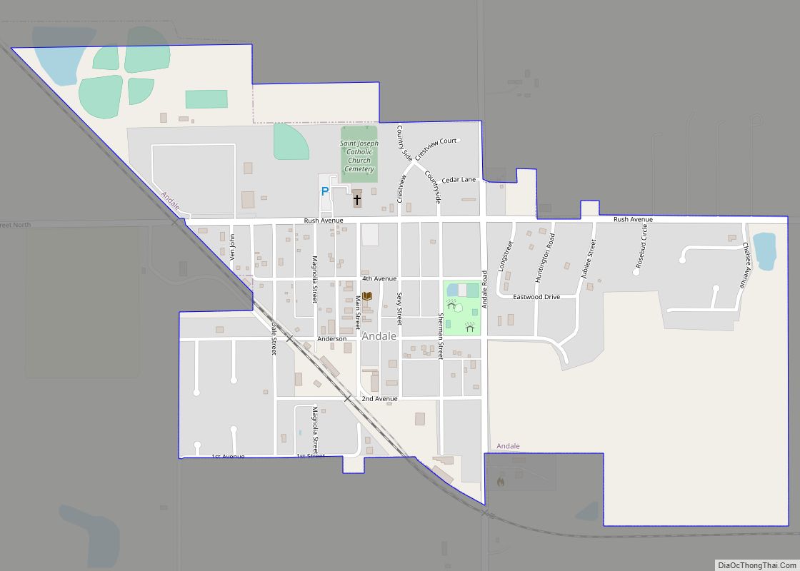
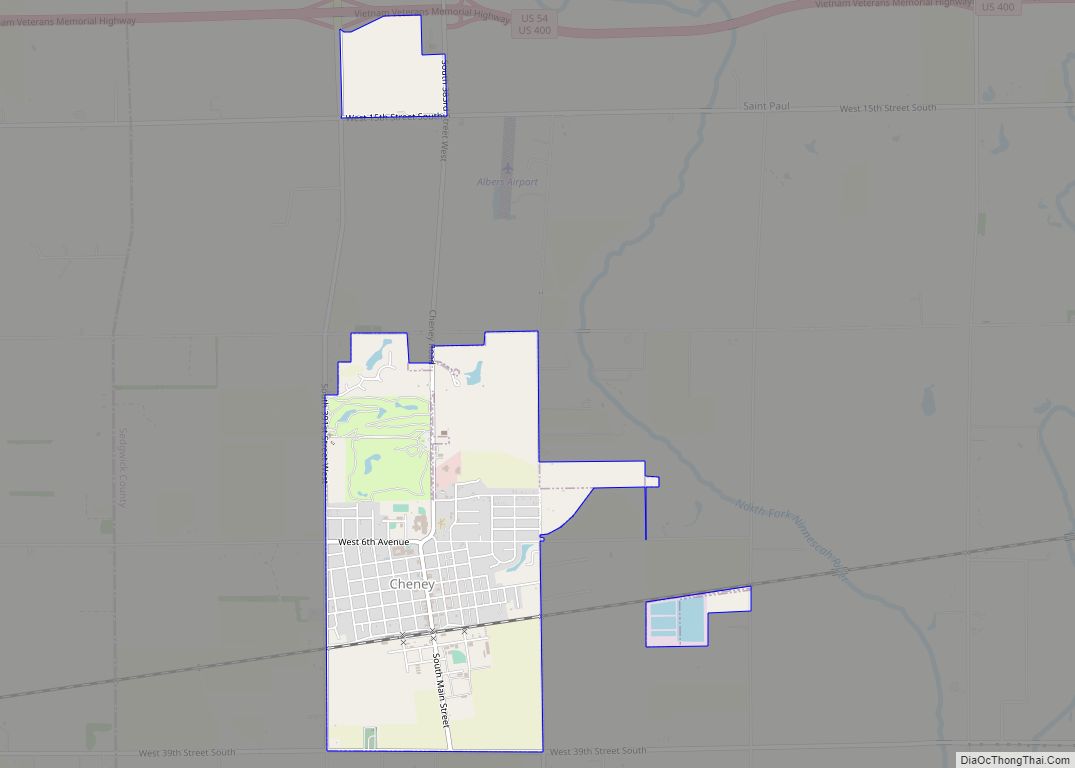
Online Interactive Map
Click on ![]() to view map in "full screen" mode.
to view map in "full screen" mode.
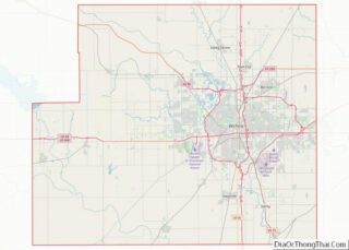
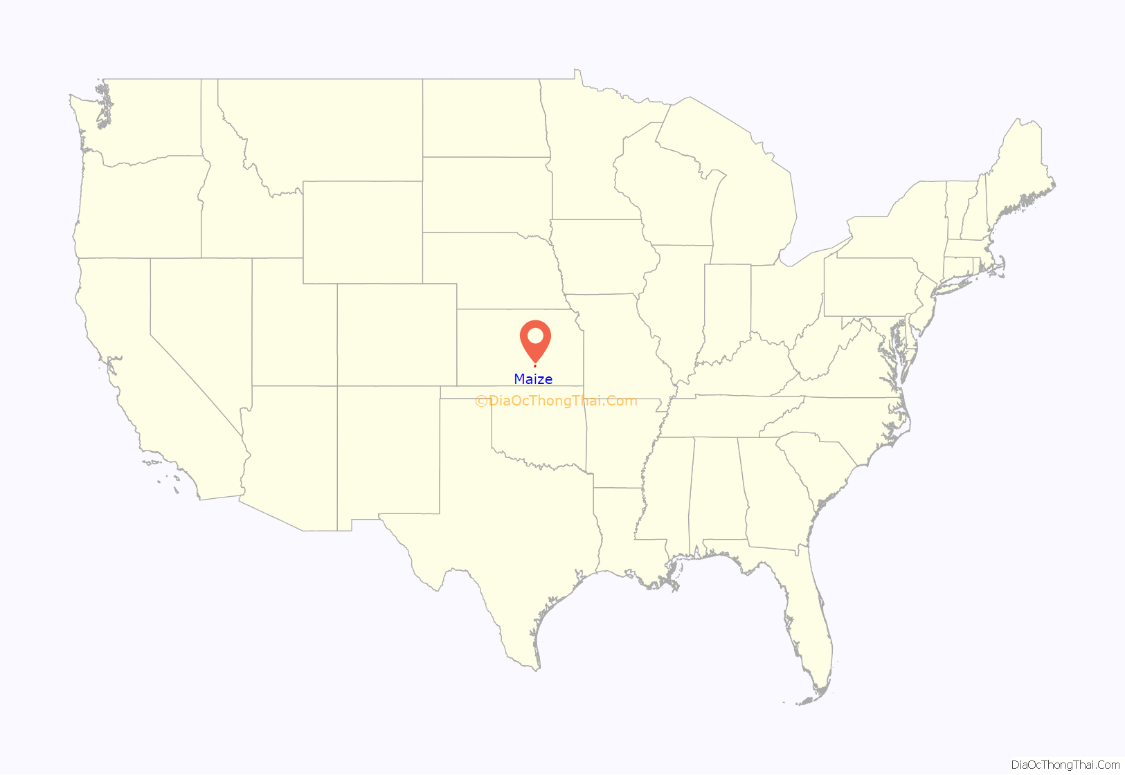
Maize location map. Where is Maize city?

History
The Maize Town Company, led by N. F. Neiderlander, founded Maize in 1886 at the first stop outside of Wichita on the Wichita and Colorado Railway. The post office opened that same year as did the town’s first church, having relocated from nearby. Maize’s first school opened in 1887; its first newspaper opened in 1895. Maize State Bank, the town’s first financial institution, opened in 1901, and, by 1908, a business community had emerged. In 1915, the Maize Town Company dissolved, and Maize was incorporated as a city.
Several natural disasters struck Maize in the 1930s and 1940s, including the Dust Bowl in 1934–35, a plague of grasshoppers in 1936, and a flood in 1944.
Maize began to grow rapidly in 1950, more than doubling in size by 1956. This growth has continued, accelerating in recent years as Wichita has expanded to the northwest, and transformed Maize into a suburb.
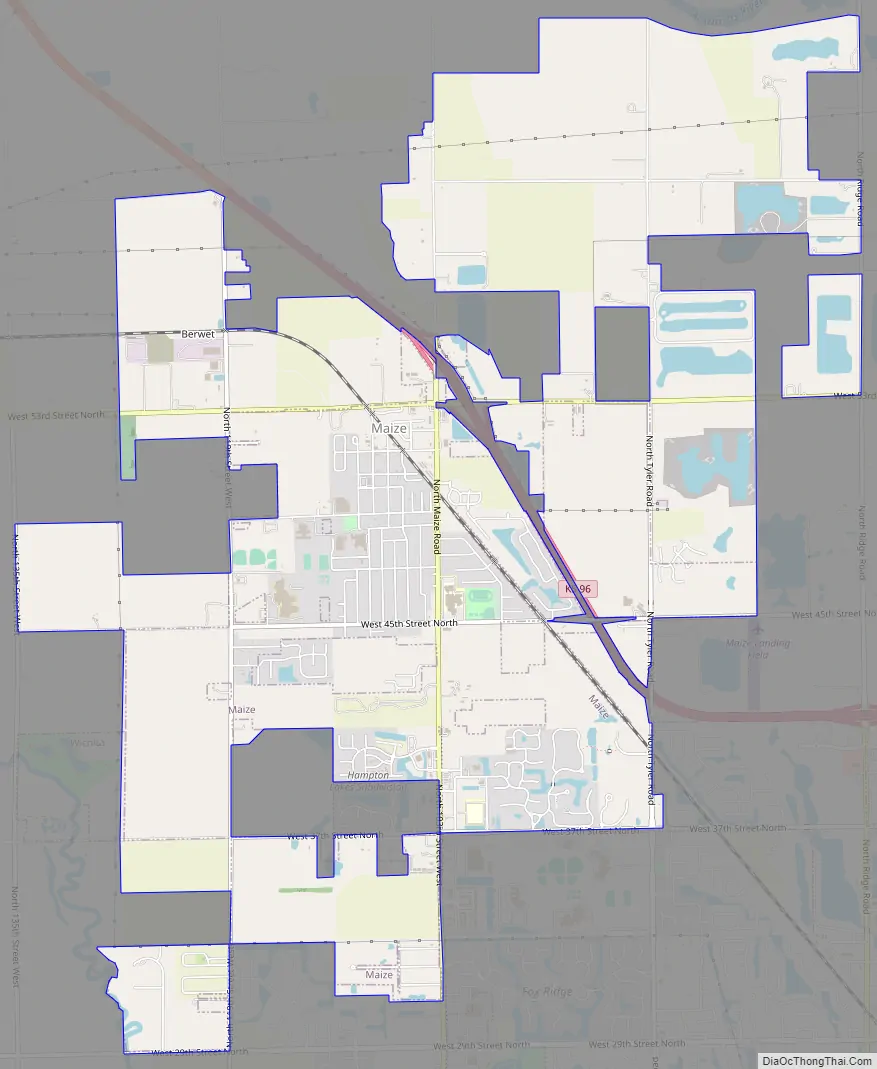
Maize Road Map
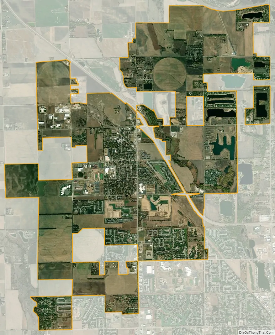
Maize city Satellite Map
Geography
Maize is located at 37°46′45″N 97°28′2″W / 37.77917°N 97.46722°W / 37.77917; -97.46722 (37.779178, -97.467267) at an elevation of 1,348 feet (411 m). It lies on the west side of Big Slough Creek roughly 3 miles (4.8 km) southwest of the Arkansas River in the Wellington-McPherson Lowlands region of the Great Plains. Located in south-central Kansas, Maize is on K-96 immediately northwest of Wichita.
According to the United States Census Bureau, the city has a total area of 8.84 square miles (22.90 km), all of it land.
See also
Map of Kansas State and its subdivision:- Allen
- Anderson
- Atchison
- Barber
- Barton
- Bourbon
- Brown
- Butler
- Chase
- Chautauqua
- Cherokee
- Cheyenne
- Clark
- Clay
- Cloud
- Coffey
- Comanche
- Cowley
- Crawford
- Decatur
- Dickinson
- Doniphan
- Douglas
- Edwards
- Elk
- Ellis
- Ellsworth
- Finney
- Ford
- Franklin
- Geary
- Gove
- Graham
- Grant
- Gray
- Greeley
- Greenwood
- Hamilton
- Harper
- Harvey
- Haskell
- Hodgeman
- Jackson
- Jefferson
- Jewell
- Johnson
- Kearny
- Kingman
- Kiowa
- Labette
- Lane
- Leavenworth
- Lincoln
- Linn
- Logan
- Lyon
- Marion
- Marshall
- McPherson
- Meade
- Miami
- Mitchell
- Montgomery
- Morris
- Morton
- Nemaha
- Neosho
- Ness
- Norton
- Osage
- Osborne
- Ottawa
- Pawnee
- Phillips
- Pottawatomie
- Pratt
- Rawlins
- Reno
- Republic
- Rice
- Riley
- Rooks
- Rush
- Russell
- Saline
- Scott
- Sedgwick
- Seward
- Shawnee
- Sheridan
- Sherman
- Smith
- Stafford
- Stanton
- Stevens
- Sumner
- Thomas
- Trego
- Wabaunsee
- Wallace
- Washington
- Wichita
- Wilson
- Woodson
- Wyandotte
- Alabama
- Alaska
- Arizona
- Arkansas
- California
- Colorado
- Connecticut
- Delaware
- District of Columbia
- Florida
- Georgia
- Hawaii
- Idaho
- Illinois
- Indiana
- Iowa
- Kansas
- Kentucky
- Louisiana
- Maine
- Maryland
- Massachusetts
- Michigan
- Minnesota
- Mississippi
- Missouri
- Montana
- Nebraska
- Nevada
- New Hampshire
- New Jersey
- New Mexico
- New York
- North Carolina
- North Dakota
- Ohio
- Oklahoma
- Oregon
- Pennsylvania
- Rhode Island
- South Carolina
- South Dakota
- Tennessee
- Texas
- Utah
- Vermont
- Virginia
- Washington
- West Virginia
- Wisconsin
- Wyoming