Potwin is a city in Butler County, Kansas, United States. It is named after the town site land owner Charles Potwin. As of the 2020 census, the population of the city was 421.
| Name: | Potwin city |
|---|---|
| LSAD Code: | 25 |
| LSAD Description: | city (suffix) |
| State: | Kansas |
| County: | Butler County |
| Founded: | 1880s |
| Incorporated: | 1885 |
| Elevation: | 1,342 ft (409 m) |
| Total Area: | 0.23 sq mi (0.61 km²) |
| Land Area: | 0.23 sq mi (0.61 km²) |
| Water Area: | 0.00 sq mi (0.00 km²) |
| Total Population: | 421 |
| Population Density: | 1,800/sq mi (690/km²) |
| ZIP code: | 67123 |
| Area code: | 620 |
| FIPS code: | 2057300 |
| Website: | potwinks.com |
Online Interactive Map
Click on ![]() to view map in "full screen" mode.
to view map in "full screen" mode.
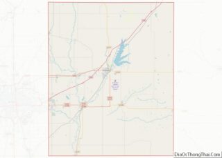
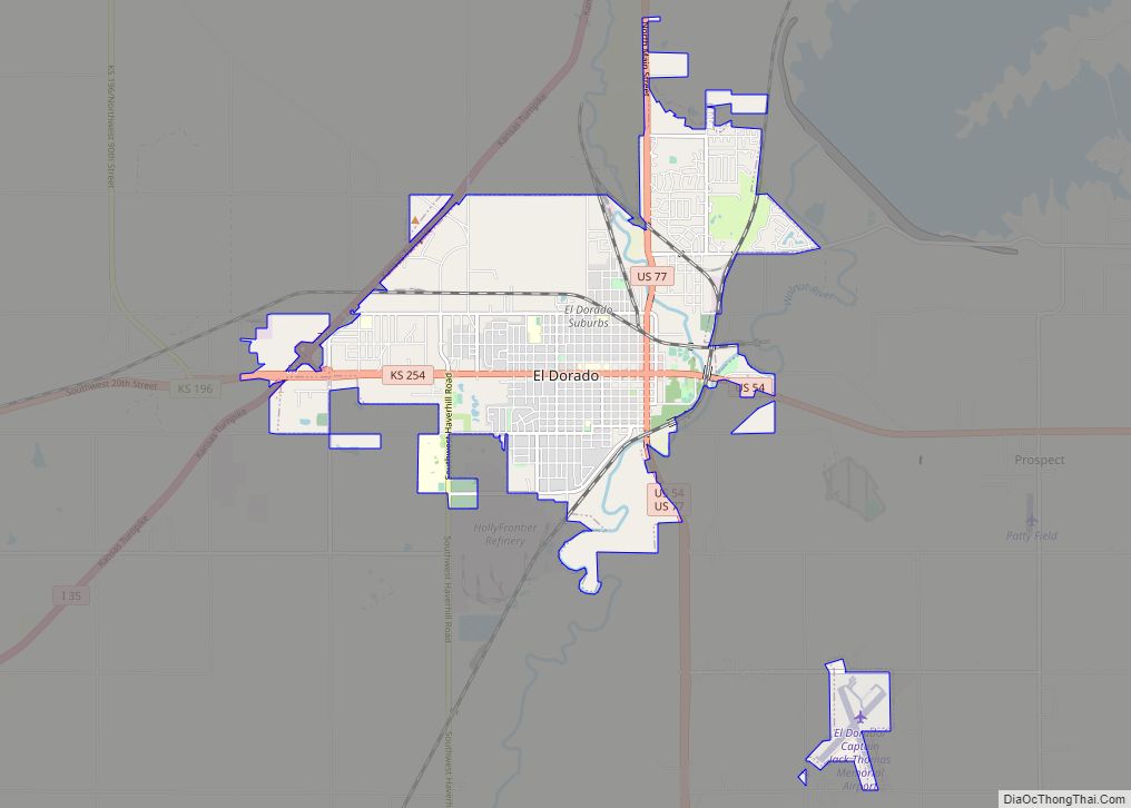
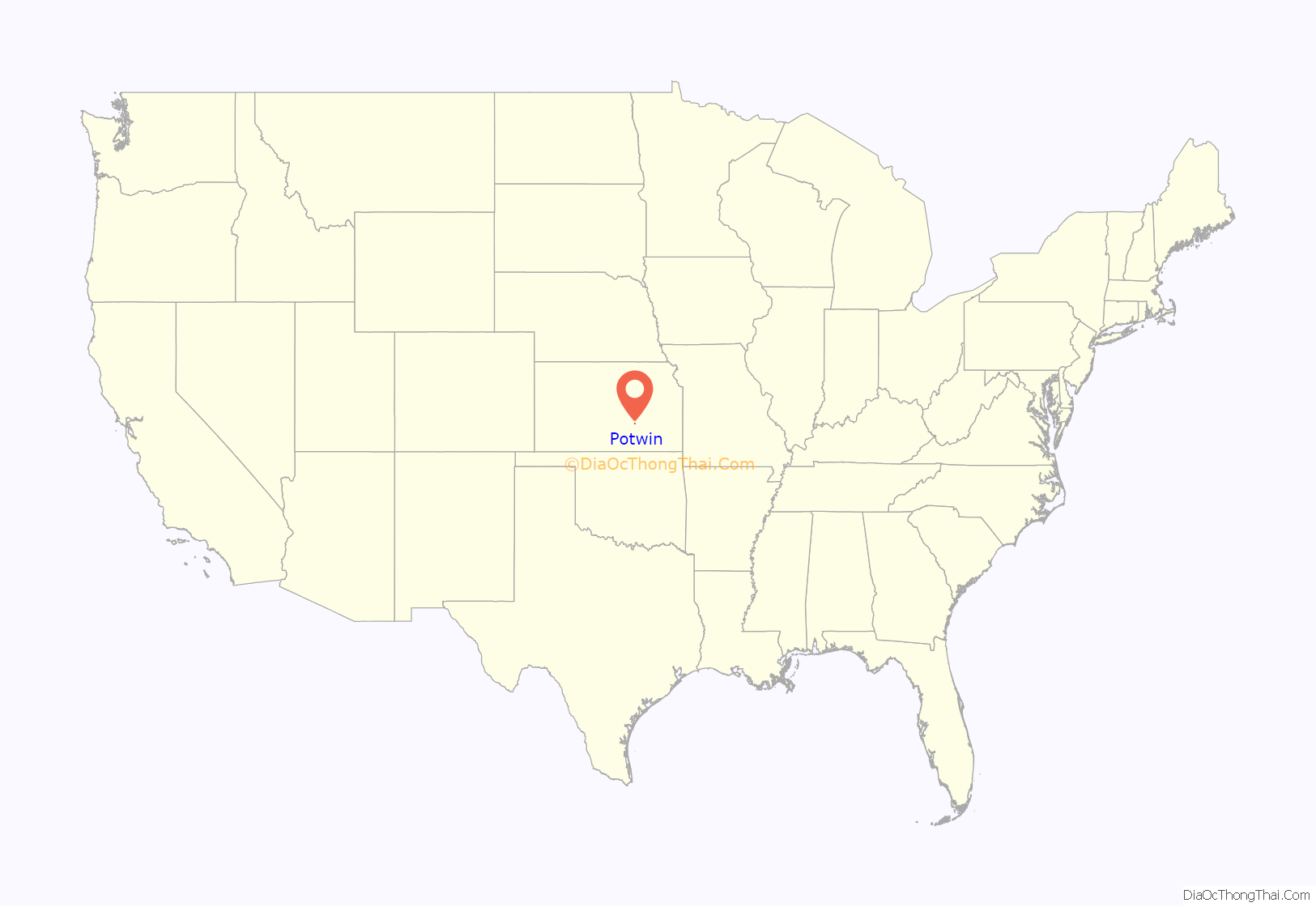
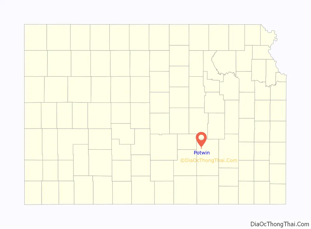
Potwin location map. Where is Potwin city?
History
Early history
For many millennia, the Great Plains of North America was inhabited by nomadic Native Americans. From the 16th century to 18th century, the Kingdom of France claimed ownership of large parts of North America. In 1762, after the French and Indian War, France secretly ceded New France to Spain, per the Treaty of Fontainebleau.
19th century
In 1802, Spain returned most of the land to France. In 1803, most of the land for modern day Kansas was acquired by the United States from France as part of the 828,000 square mile Louisiana Purchase for 2.83 cents per acre.
In 1854, the Kansas Territory was organized, then in 1861 Kansas became the 34th U.S. state. In 1855, Butler County was established within the Kansas Territory, which included the land for modern day Potwin.
Potwin was incorporated as a town on April 8, 1885. This land, owned by Charles Potwin, whereby the town received its name, became a station for the Missouri Pacific Railroad, instigated by William I. Joseph, known as the Father of Potwin.
Joseph came from West Virginia and, as more settlers arrived, became interested in a railroad to serve the area. After much diligent pursuit, the station was built and Joseph, a land agent for Charles Potwin, began development of a town site around the Potwin station. He opened a land office where the Potwin grocery now stands.
A post office was established in Ayr (an extinct town) on July 12, 1875, but it was moved to Potwin on September 22, 1885.
It quickly grew, including some businesses and houses from nearby community of Plum Grove.
20th century
During half of the twentieth century, Potwin enjoyed the prosperity of oil fields in the Mid-Continent oil province. In 1920, John (Jack) Vickers (1891-1940) built the Vickers Oil Refinery in Potwin. He got his start in oil fields in Butler County, commencing with the lease on the Parris Farm 10 miles north of Potwin, production reached 16,000 barrels a day during the 1950s. In 1964, distressed economic conditions shut down the oil processing facilities. The company was sold to Swift & Company and the remaining operations were closed in 1970, and later demolished. In 1934, Vickers built a large mansion (named “Vickridge”) east of Wichita (now in the city limits), which his estate later become the current site of Kapaun Mt. Carmel High School.
In 1961, Frederic Remington High School was built immediately north of Brainerd. Leading up to this new school, Whitewater, Potwin, Brainerd, Elbing, Furley, Countryside, and Golden Gate schools merged to form a joint rural high school. Heated opposition between Whitewater and Potwin occurred during the discussion for the location of the new high school. Rural voters pushed for a centralized location in neither town. A public vote was passed to build the new school near Brainerd.
From 1960s to 1980s, a Titan II intercontinental ballistic missile site was located north of Potwin. The site was one of eighteen overseen by the 381st Strategic Missile Wing at McConnell Air Force Base in Wichita, Kansas. The Titan II near Potwin likely contained a 9 megaton W-53 nuclear warhead.
21st century
In 2010, the Keystone-Cushing Pipeline (Phase II) was constructed along the east city limits of Potwin, north to south through Butler County, with much controversy over tax exemption and environmental concerns (if a leak ever occurs). A pumping station named Burns was built 2 miles north of Potwin, and new power lines were built from a high-voltage line 0.3 mile east of De Graff.
In an unusual technical glitch, a farmstead about 4 miles northeast of Potwin became the default geolocation of 600 million IP addresses when the Massachusetts-based digital mapping company MaxMind changed the putative geographic center of the contiguous United States from 39.8333333,-98.585522 to 38.0000,-97.0000.
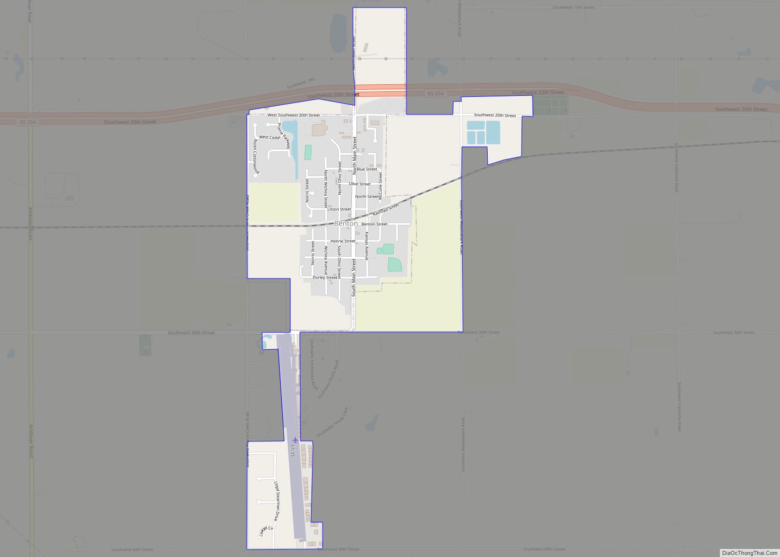
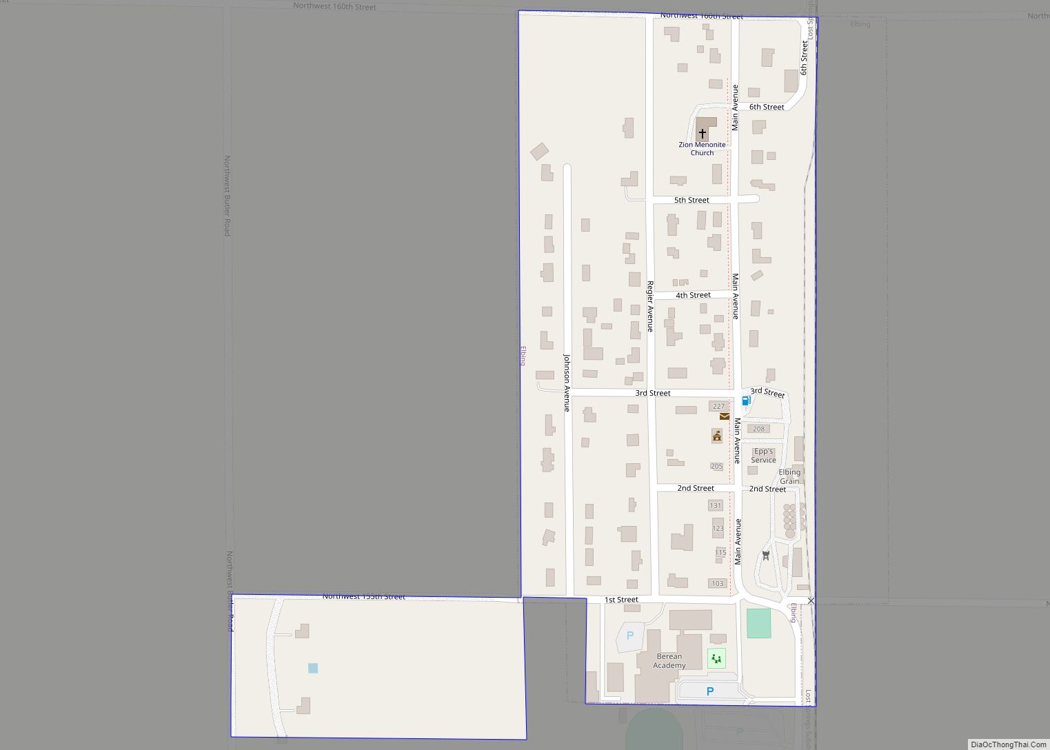
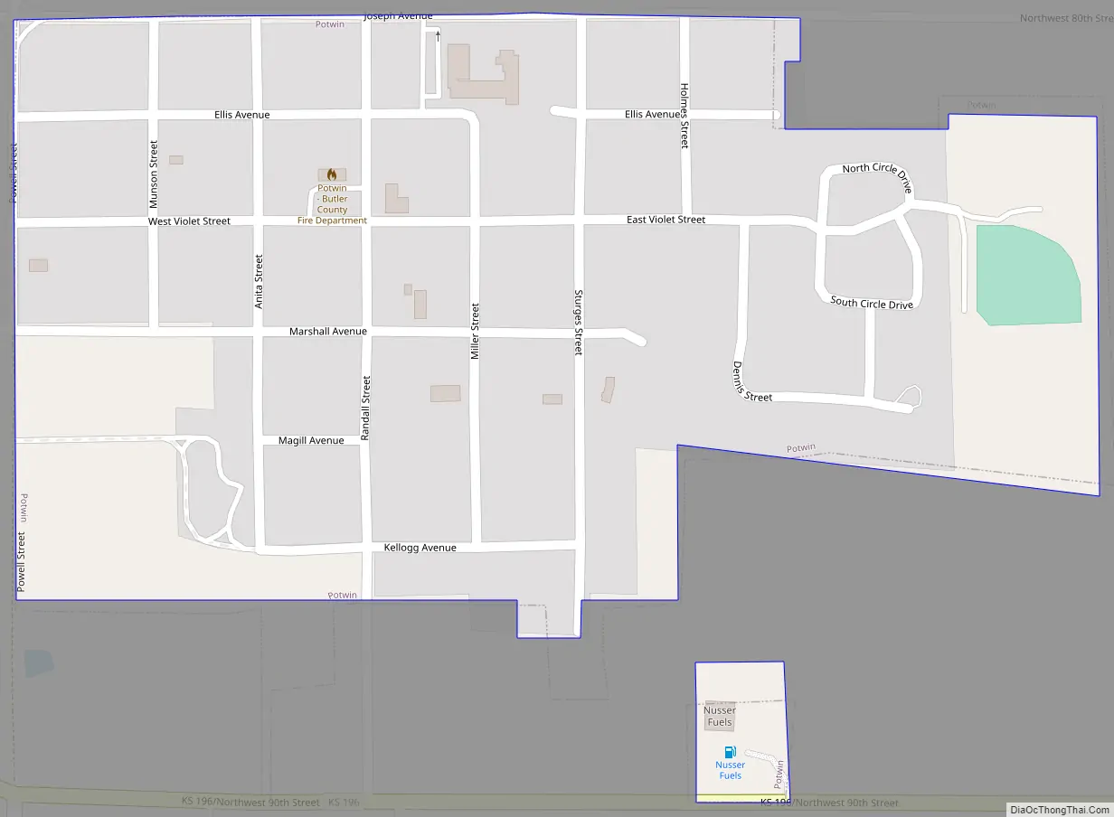
Potwin Road Map
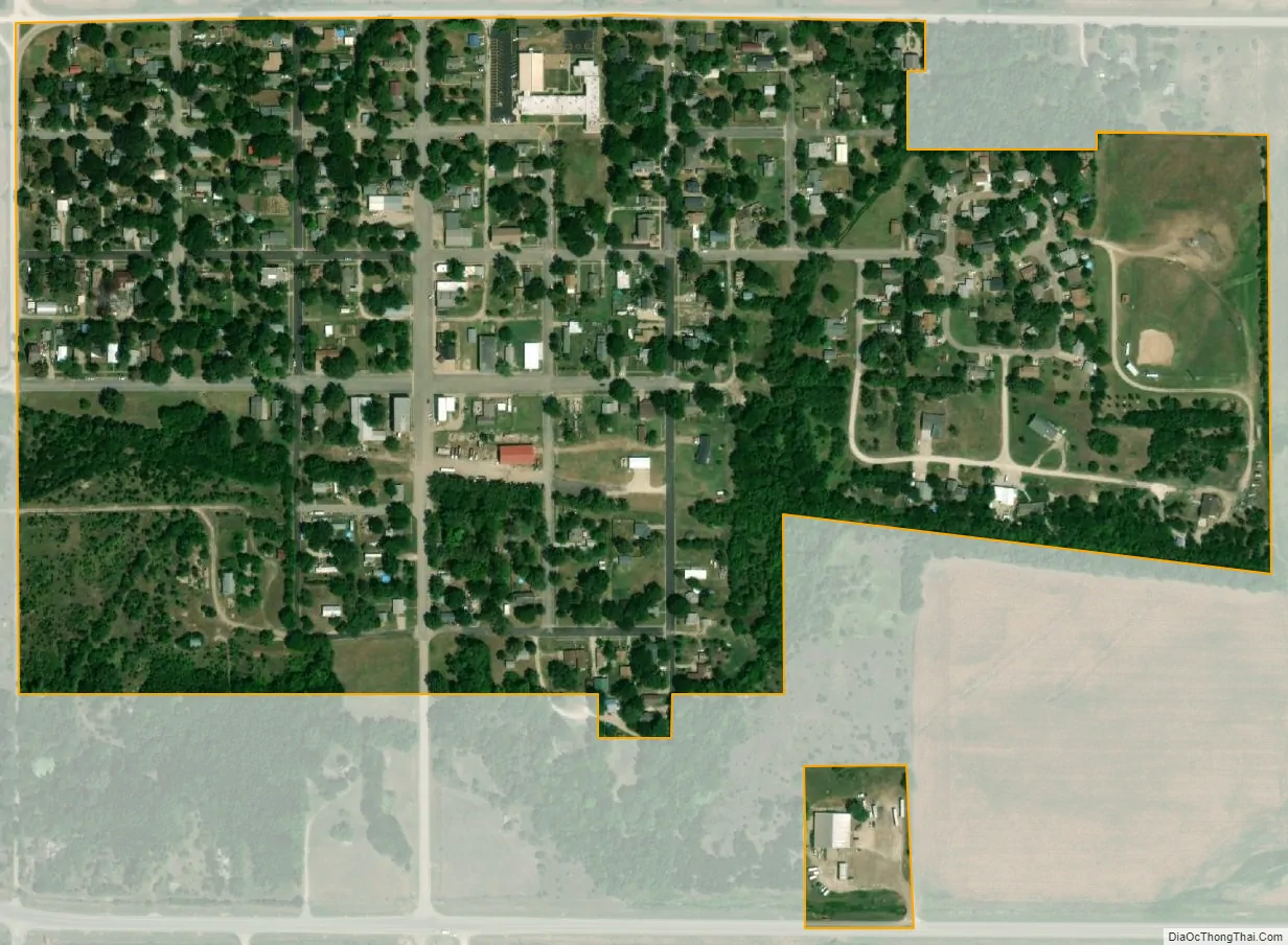
Potwin city Satellite Map
Geography
Potwin is located at 37°56′20″N 97°01′09″W / 37.938898°N 97.019034°W / 37.938898; -97.019034 (37.938898, -97.019034). According to the United States Census Bureau, the city has a total area of 0.24 square miles (0.62 km), all of it land.
Climate
The climate in this area is characterized by hot, humid summers and generally mild to cool winters. According to the Köppen Climate Classification system, Potwin has a humid subtropical climate, abbreviated “Cfa” on climate maps.
See also
Map of Kansas State and its subdivision:- Allen
- Anderson
- Atchison
- Barber
- Barton
- Bourbon
- Brown
- Butler
- Chase
- Chautauqua
- Cherokee
- Cheyenne
- Clark
- Clay
- Cloud
- Coffey
- Comanche
- Cowley
- Crawford
- Decatur
- Dickinson
- Doniphan
- Douglas
- Edwards
- Elk
- Ellis
- Ellsworth
- Finney
- Ford
- Franklin
- Geary
- Gove
- Graham
- Grant
- Gray
- Greeley
- Greenwood
- Hamilton
- Harper
- Harvey
- Haskell
- Hodgeman
- Jackson
- Jefferson
- Jewell
- Johnson
- Kearny
- Kingman
- Kiowa
- Labette
- Lane
- Leavenworth
- Lincoln
- Linn
- Logan
- Lyon
- Marion
- Marshall
- McPherson
- Meade
- Miami
- Mitchell
- Montgomery
- Morris
- Morton
- Nemaha
- Neosho
- Ness
- Norton
- Osage
- Osborne
- Ottawa
- Pawnee
- Phillips
- Pottawatomie
- Pratt
- Rawlins
- Reno
- Republic
- Rice
- Riley
- Rooks
- Rush
- Russell
- Saline
- Scott
- Sedgwick
- Seward
- Shawnee
- Sheridan
- Sherman
- Smith
- Stafford
- Stanton
- Stevens
- Sumner
- Thomas
- Trego
- Wabaunsee
- Wallace
- Washington
- Wichita
- Wilson
- Woodson
- Wyandotte
- Alabama
- Alaska
- Arizona
- Arkansas
- California
- Colorado
- Connecticut
- Delaware
- District of Columbia
- Florida
- Georgia
- Hawaii
- Idaho
- Illinois
- Indiana
- Iowa
- Kansas
- Kentucky
- Louisiana
- Maine
- Maryland
- Massachusetts
- Michigan
- Minnesota
- Mississippi
- Missouri
- Montana
- Nebraska
- Nevada
- New Hampshire
- New Jersey
- New Mexico
- New York
- North Carolina
- North Dakota
- Ohio
- Oklahoma
- Oregon
- Pennsylvania
- Rhode Island
- South Carolina
- South Dakota
- Tennessee
- Texas
- Utah
- Vermont
- Virginia
- Washington
- West Virginia
- Wisconsin
- Wyoming