Roeland Park is a city in Johnson County, Kansas, United States, and located within the Kansas City metropolitan area. As of the 2020 census, the population of the city was 6,871.
| Name: | Roeland Park city |
|---|---|
| LSAD Code: | 25 |
| LSAD Description: | city (suffix) |
| State: | Kansas |
| County: | Johnson County |
| Incorporated: | 1951 |
| Elevation: | 991 ft (302 m) |
| Total Area: | 1.62 sq mi (4.19 km²) |
| Land Area: | 1.62 sq mi (4.19 km²) |
| Water Area: | 0.00 sq mi (0.00 km²) |
| Total Population: | 6,871 |
| Population Density: | 4,200/sq mi (1,600/km²) |
| ZIP code: | 66205 and 66202 |
| Area code: | 913 |
| FIPS code: | 2060825 |
| Website: | roelandpark.net |
Online Interactive Map
Click on ![]() to view map in "full screen" mode.
to view map in "full screen" mode.
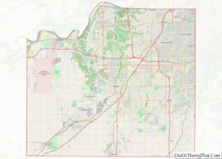
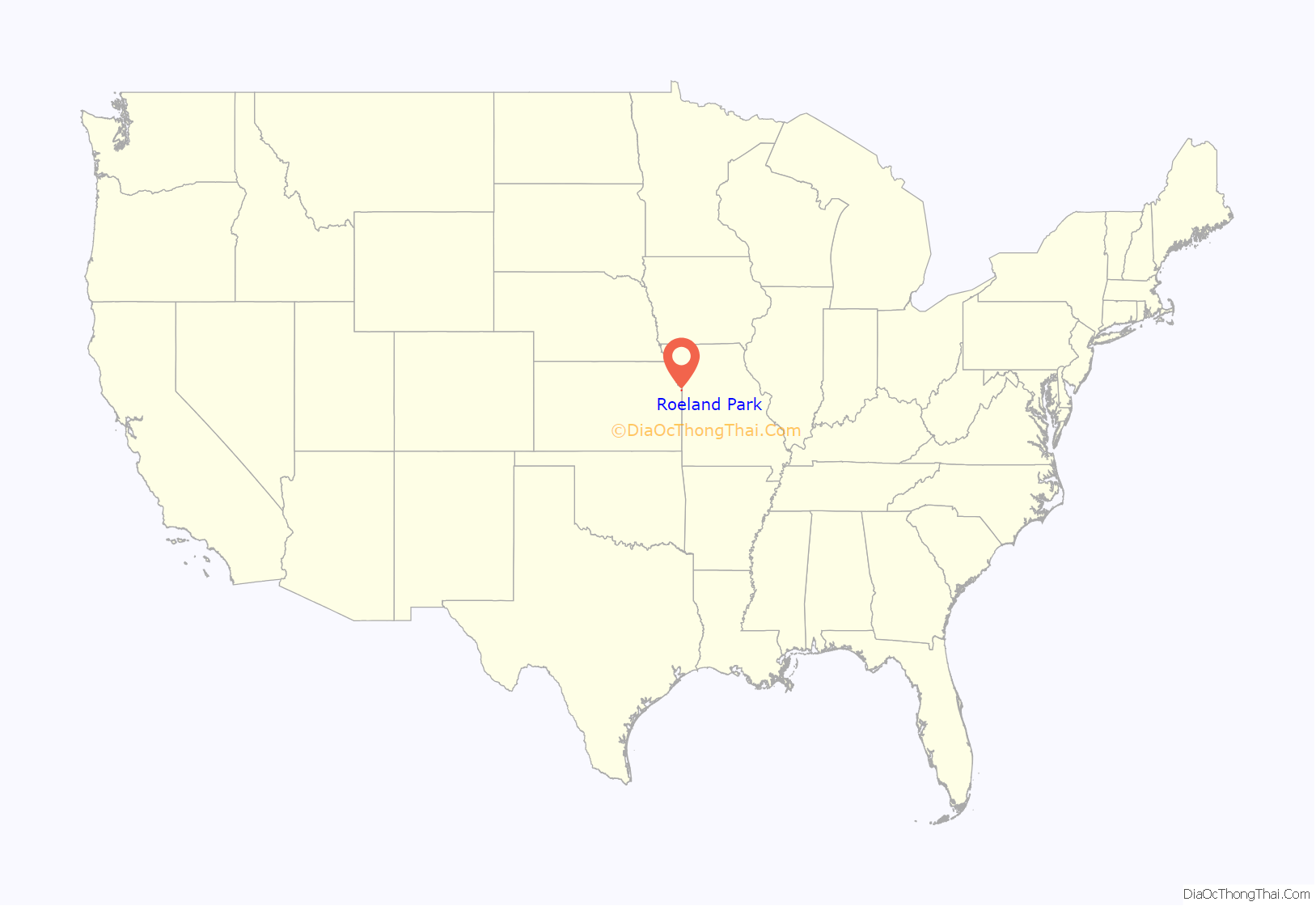
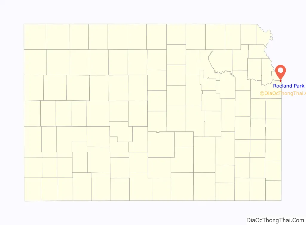
Roeland Park location map. Where is Roeland Park city?
History
The community was named after John Roe, an immigrant from Ireland who settled on 267 acres (1.08 km) in 1883, on part of which Roeland Park now stands. The Roe Home was built in 1891 and razed in 1958 to make room for the interchange at Roe Boulevard and Shawnee Mission Parkway.
Roeland Park’s original pool was built in 1958 on land donated by the Roe Estate. The new pool facility is located on the east side of the Community Center at 4843 Rosewood Drive. The Community Center address is 4850 Rosewood Drive and offers many different programs throughout the year. A fabric dome which covers the main pool is in place from September to May, allowing residents to use the main pool throughout the year.
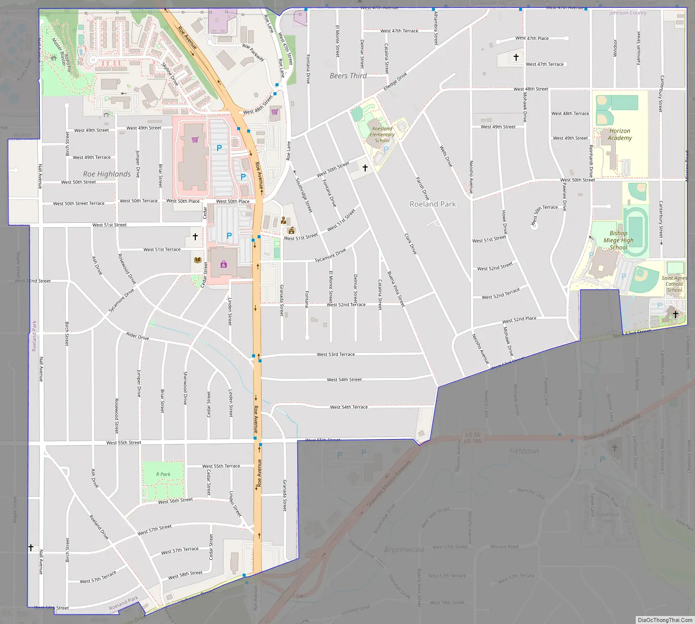
Roeland Park Road Map
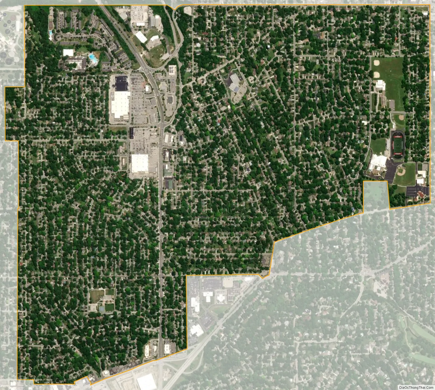
Roeland Park city Satellite Map
Geography
Roeland Park is located at 39°02′05″N 94°38′21″W / 39.034705°N 94.639211°W / 39.034705; -94.639211 (39.034705, −94.639211). According to the United States Census Bureau, the city has a total area of 1.62 square miles (4.20 km), all of it land.
See also
Map of Kansas State and its subdivision:- Allen
- Anderson
- Atchison
- Barber
- Barton
- Bourbon
- Brown
- Butler
- Chase
- Chautauqua
- Cherokee
- Cheyenne
- Clark
- Clay
- Cloud
- Coffey
- Comanche
- Cowley
- Crawford
- Decatur
- Dickinson
- Doniphan
- Douglas
- Edwards
- Elk
- Ellis
- Ellsworth
- Finney
- Ford
- Franklin
- Geary
- Gove
- Graham
- Grant
- Gray
- Greeley
- Greenwood
- Hamilton
- Harper
- Harvey
- Haskell
- Hodgeman
- Jackson
- Jefferson
- Jewell
- Johnson
- Kearny
- Kingman
- Kiowa
- Labette
- Lane
- Leavenworth
- Lincoln
- Linn
- Logan
- Lyon
- Marion
- Marshall
- McPherson
- Meade
- Miami
- Mitchell
- Montgomery
- Morris
- Morton
- Nemaha
- Neosho
- Ness
- Norton
- Osage
- Osborne
- Ottawa
- Pawnee
- Phillips
- Pottawatomie
- Pratt
- Rawlins
- Reno
- Republic
- Rice
- Riley
- Rooks
- Rush
- Russell
- Saline
- Scott
- Sedgwick
- Seward
- Shawnee
- Sheridan
- Sherman
- Smith
- Stafford
- Stanton
- Stevens
- Sumner
- Thomas
- Trego
- Wabaunsee
- Wallace
- Washington
- Wichita
- Wilson
- Woodson
- Wyandotte
- Alabama
- Alaska
- Arizona
- Arkansas
- California
- Colorado
- Connecticut
- Delaware
- District of Columbia
- Florida
- Georgia
- Hawaii
- Idaho
- Illinois
- Indiana
- Iowa
- Kansas
- Kentucky
- Louisiana
- Maine
- Maryland
- Massachusetts
- Michigan
- Minnesota
- Mississippi
- Missouri
- Montana
- Nebraska
- Nevada
- New Hampshire
- New Jersey
- New Mexico
- New York
- North Carolina
- North Dakota
- Ohio
- Oklahoma
- Oregon
- Pennsylvania
- Rhode Island
- South Carolina
- South Dakota
- Tennessee
- Texas
- Utah
- Vermont
- Virginia
- Washington
- West Virginia
- Wisconsin
- Wyoming