Utica is a city in Macomb County in the U.S. state of Michigan. The population was 4,757 at the 2010 census.
| Name: | Utica city |
|---|---|
| LSAD Code: | 25 |
| LSAD Description: | city (suffix) |
| State: | Michigan |
| County: | Macomb County |
| Elevation: | 650 ft (198 m) |
| Total Area: | 1.78 sq mi (4.60 km²) |
| Land Area: | 1.76 sq mi (4.56 km²) |
| Water Area: | 0.02 sq mi (0.05 km²) |
| Total Population: | 5,245 |
| Population Density: | 2,981.81/sq mi (1,151.03/km²) |
| Area code: | 586 |
| FIPS code: | 2681540 |
| GNISfeature ID: | 1615434 |
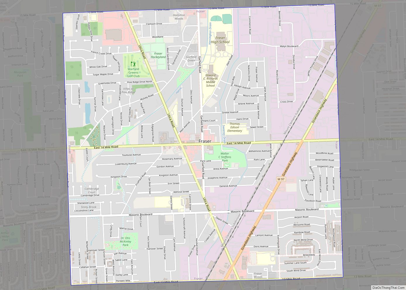
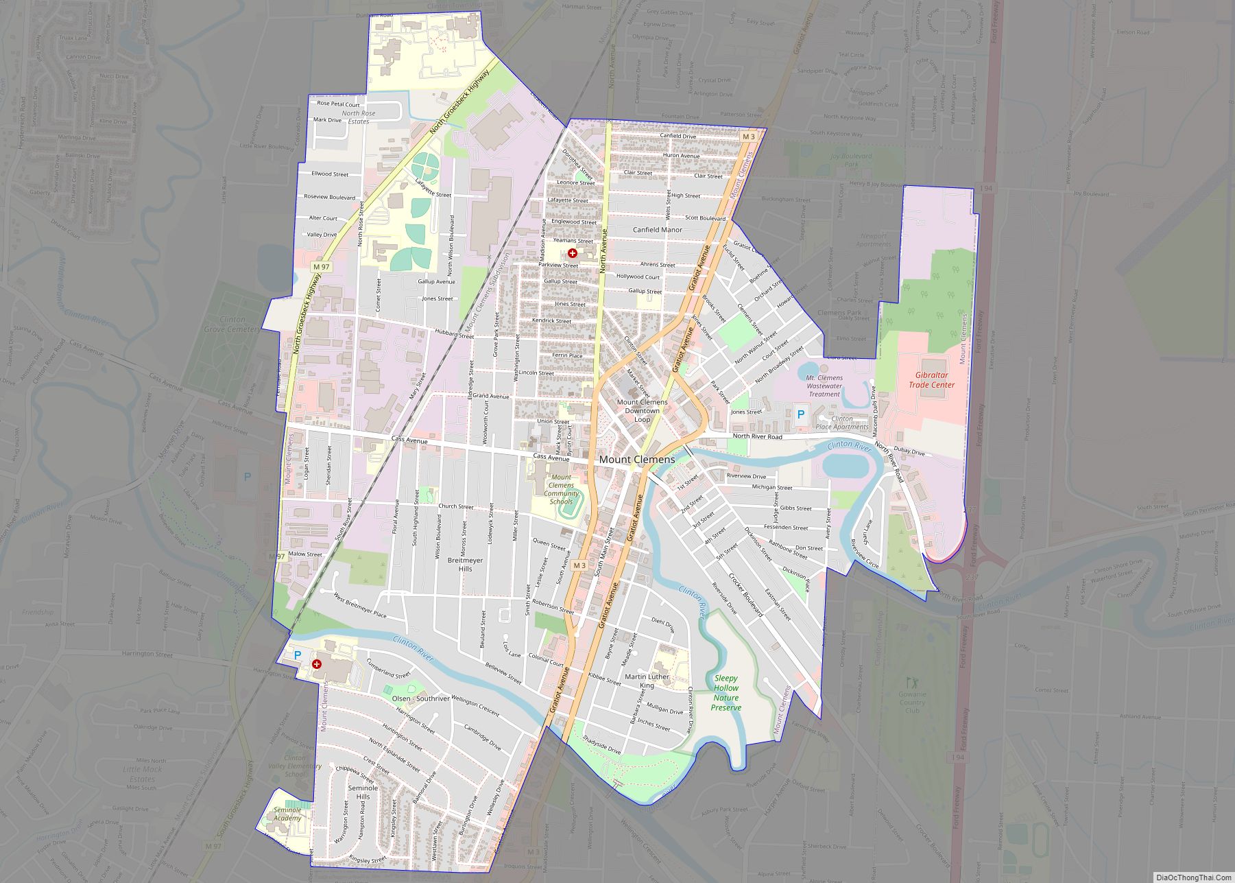
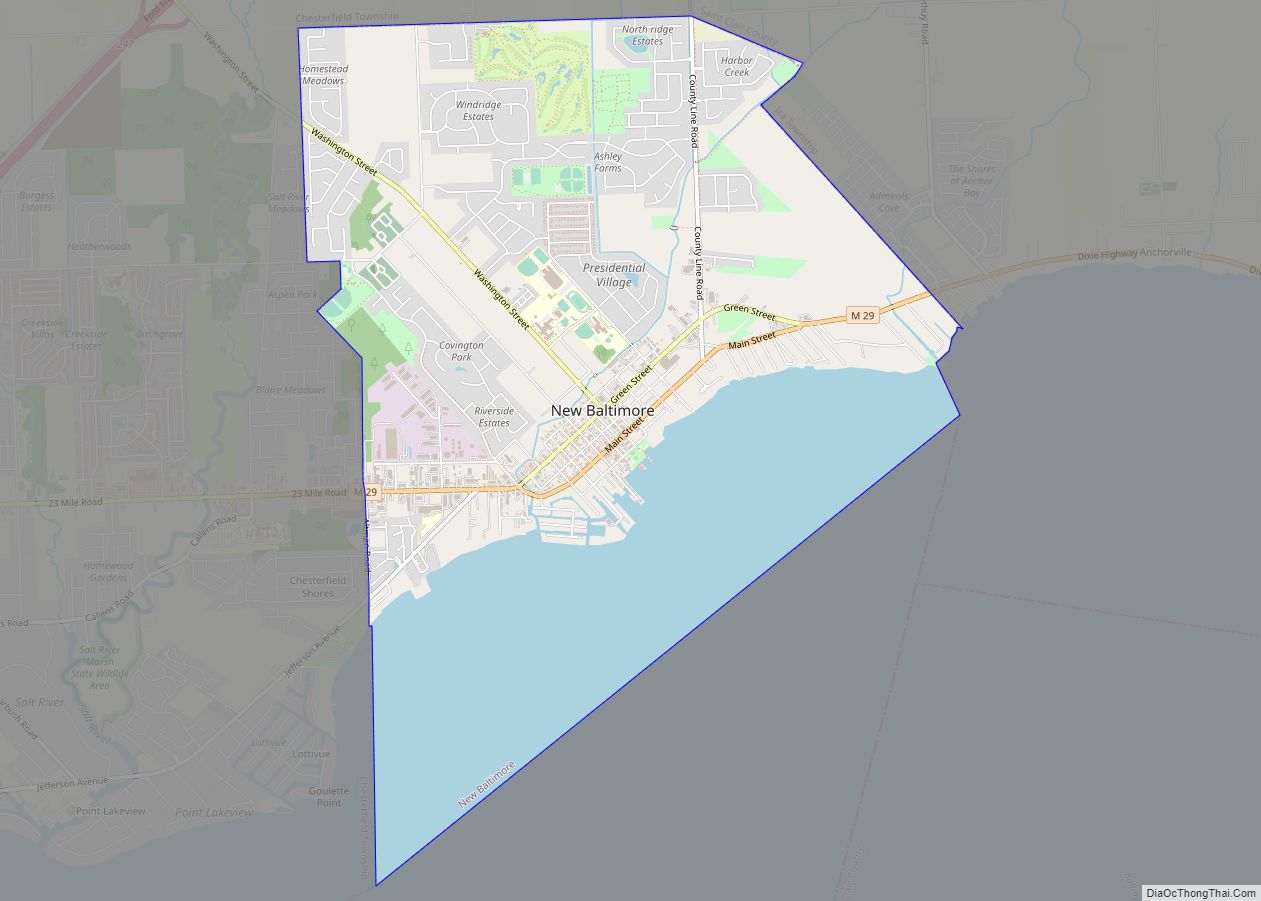
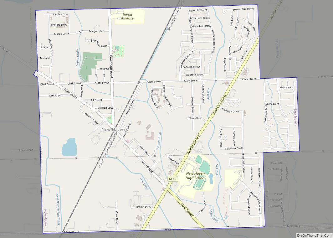
Online Interactive Map
Click on ![]() to view map in "full screen" mode.
to view map in "full screen" mode.
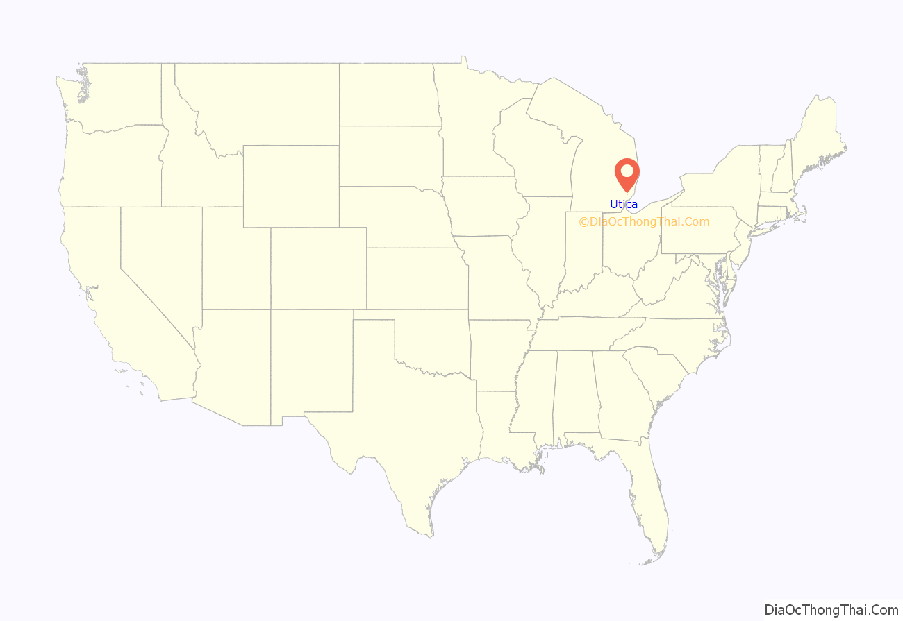
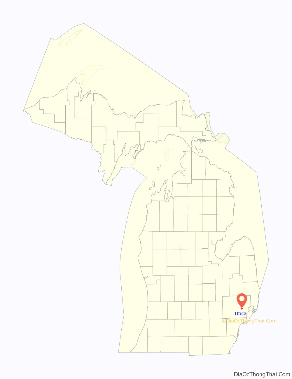
Utica location map. Where is Utica city?
History
The city now known as Utica was platted by Joseph Stead in 1817, who preferred to call it “Harlow.” Others referred to the city as “Hog’s Hollow” or “McDougalville,” until a few years later it was finally named Utica by settlers from New York, in honor of the city of the same name in that state. This was common of settlers in this region, and is reflected in the names of nearby cities such as Rochester, Troy, and Livonia that are also named for New York cities.
By the 1940s, Utica was the center of a region of dairy farms and truck gardens. It had a flour mill and shipped rhubarb. Dodge Park a few miles south on the Clinton River was a state park.
As the 1950s progressed, Detroit auto companies began to build factories in neighboring Sterling and Shelby Townships and the surrounding area began a transformation to an industrial economy.
Utica boasts a small historic district centered on Cass Avenue and Auburn Road, but few of the buildings predate 1906, due to destructive fires in 1905 and 1906.
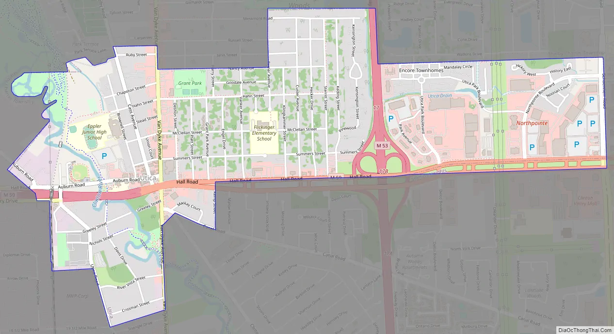
Utica Road Map
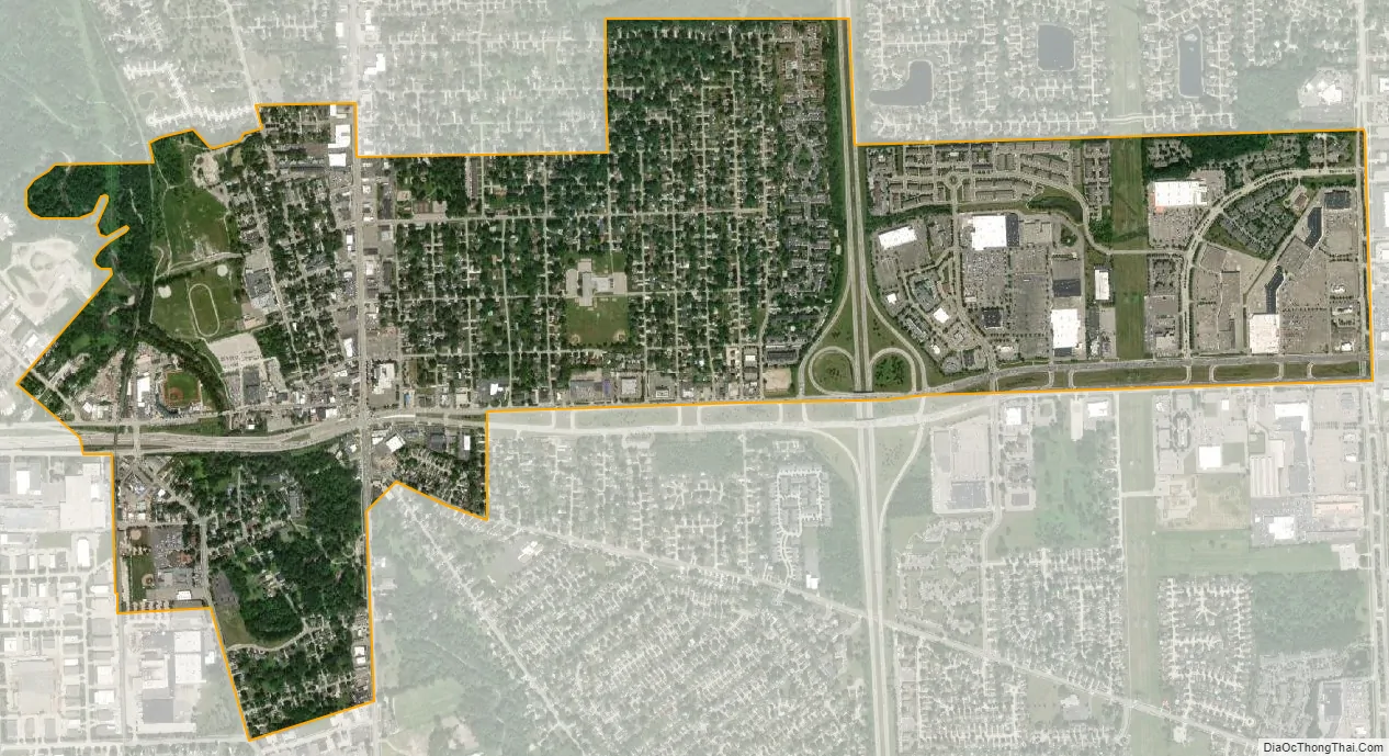
Utica city Satellite Map
Geography
According to the United States Census Bureau, the city has a total area of 1.74 square miles (4.51 km), of which 1.71 square miles (4.43 km) is land and 0.03 square miles (0.08 km) is water.
Utica is bordered to the south by Sterling Heights and to the north by Shelby Charter Township.
See also
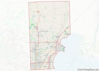
Map of Michigan State and its subdivision:- Alcona
- Alger
- Allegan
- Alpena
- Antrim
- Arenac
- Baraga
- Barry
- Bay
- Benzie
- Berrien
- Branch
- Calhoun
- Cass
- Charlevoix
- Cheboygan
- Chippewa
- Clare
- Clinton
- Crawford
- Delta
- Dickinson
- Eaton
- Emmet
- Genesee
- Gladwin
- Gogebic
- Grand Traverse
- Gratiot
- Hillsdale
- Houghton
- Huron
- Ingham
- Ionia
- Iosco
- Iron
- Isabella
- Jackson
- Kalamazoo
- Kalkaska
- Kent
- Keweenaw
- Lake
- Lake Hurron
- Lake Michigan
- Lake St. Clair
- Lake Superior
- Lapeer
- Leelanau
- Lenawee
- Livingston
- Luce
- Mackinac
- Macomb
- Manistee
- Marquette
- Mason
- Mecosta
- Menominee
- Midland
- Missaukee
- Monroe
- Montcalm
- Montmorency
- Muskegon
- Newaygo
- Oakland
- Oceana
- Ogemaw
- Ontonagon
- Osceola
- Oscoda
- Otsego
- Ottawa
- Presque Isle
- Roscommon
- Saginaw
- Saint Clair
- Saint Joseph
- Sanilac
- Schoolcraft
- Shiawassee
- Tuscola
- Van Buren
- Washtenaw
- Wayne
- Wexford
- Alabama
- Alaska
- Arizona
- Arkansas
- California
- Colorado
- Connecticut
- Delaware
- District of Columbia
- Florida
- Georgia
- Hawaii
- Idaho
- Illinois
- Indiana
- Iowa
- Kansas
- Kentucky
- Louisiana
- Maine
- Maryland
- Massachusetts
- Michigan
- Minnesota
- Mississippi
- Missouri
- Montana
- Nebraska
- Nevada
- New Hampshire
- New Jersey
- New Mexico
- New York
- North Carolina
- North Dakota
- Ohio
- Oklahoma
- Oregon
- Pennsylvania
- Rhode Island
- South Carolina
- South Dakota
- Tennessee
- Texas
- Utah
- Vermont
- Virginia
- Washington
- West Virginia
- Wisconsin
- Wyoming