Mount Clemens is a city in the U.S. state of Michigan. The population was 16,314 at the 2010 census. It is the seat of government of Macomb County.
| Name: | Mount Clemens city |
|---|---|
| LSAD Code: | 25 |
| LSAD Description: | city (suffix) |
| State: | Michigan |
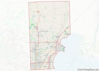
| County: | Macomb County |
| Elevation: | 604 ft (184 m) |
| Total Area: | 4.21 sq mi (10.89 km²) |
| Land Area: | 4.09 sq mi (10.60 km²) |
| Water Area: | 0.11 sq mi (0.29 km²) |
| Total Population: | 15,697 |
| Population Density: | 3,835.08/sq mi (1,480.75/km²) |
| Area code: | 586 |
| FIPS code: | 2655820 |
| GNISfeature ID: | 0632785 |
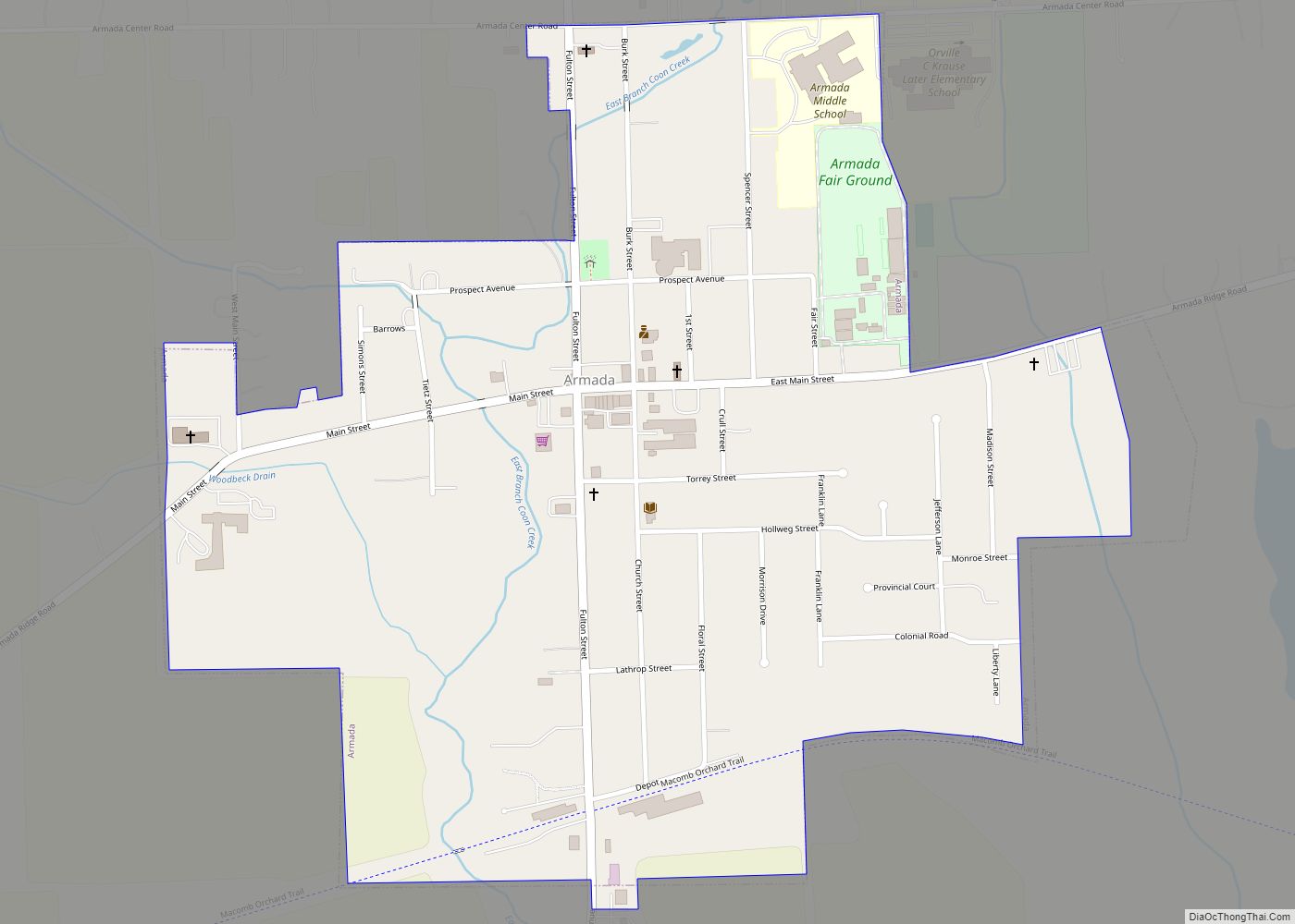
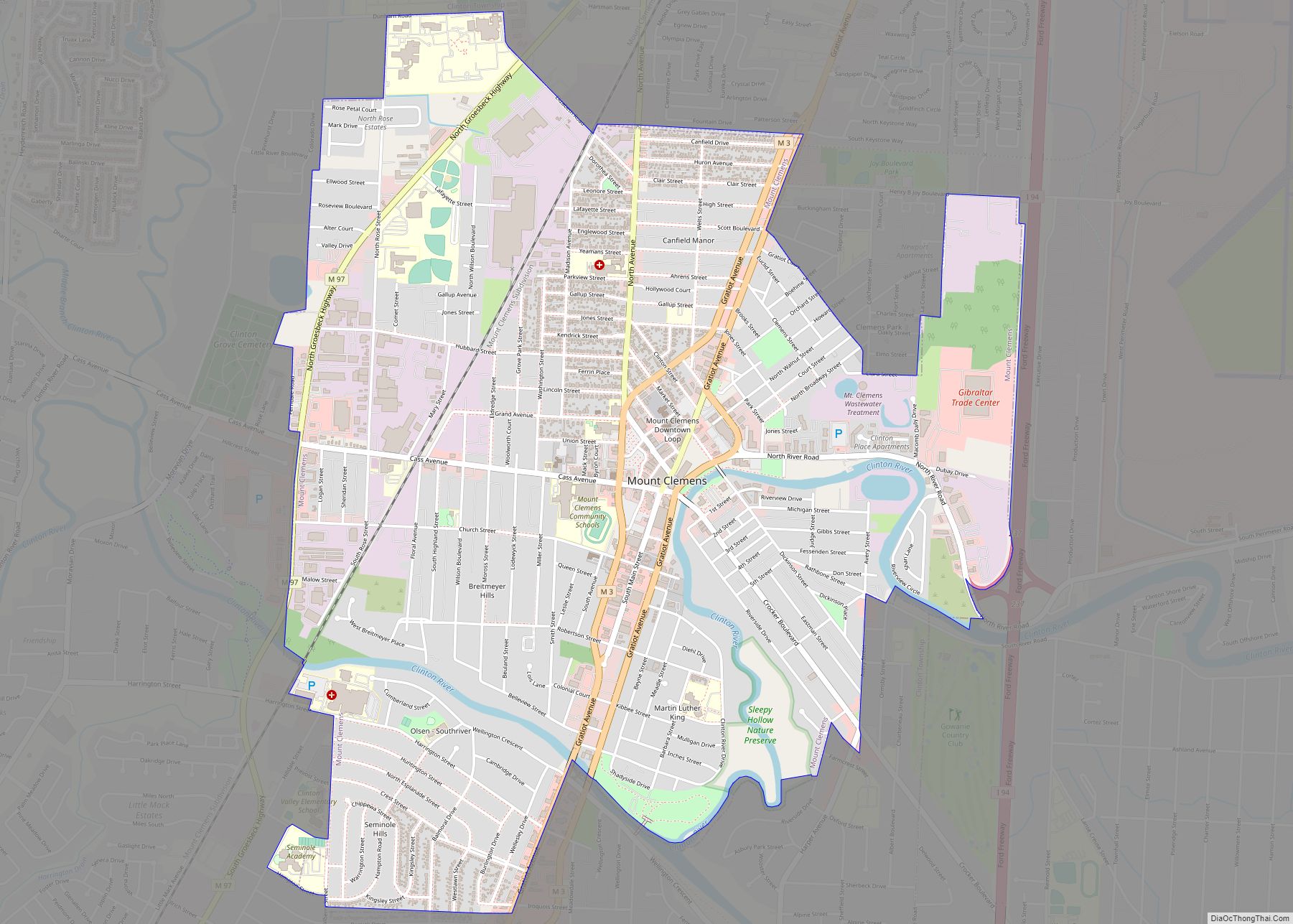
Online Interactive Map
Click on ![]() to view map in "full screen" mode.
to view map in "full screen" mode.
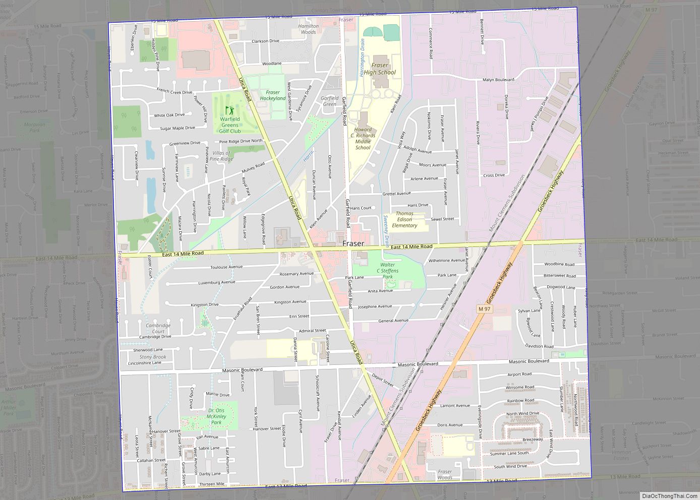
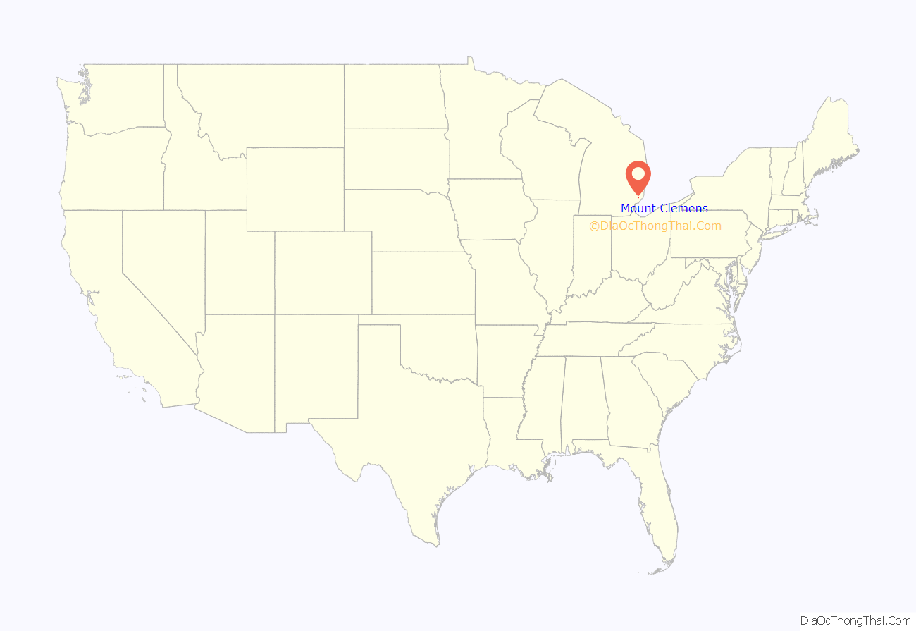
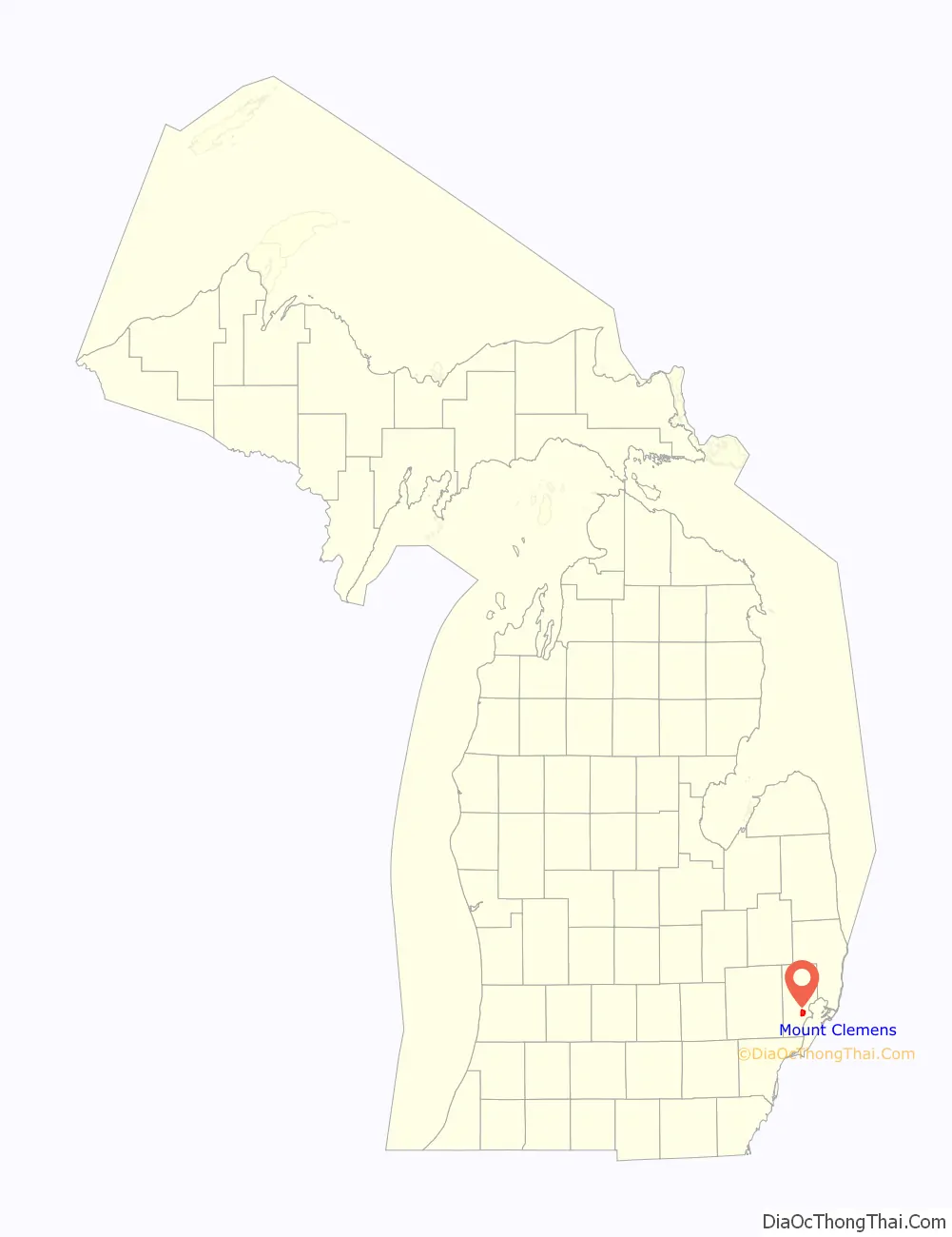
Mount Clemens location map. Where is Mount Clemens city?
History
Mount Clemens was first surveyed in 1795 after the American Revolutionary War by Christian Clemens, who settled there four years later. Clemens and his friend, John Brooks, built a distillery, which attracted workers and customers, helping to settle the area. Brooks and Clemens platted the land, and the town was named after Clemens in 1818. It received a post office in 1821, with John Stockton as the first postmaster. Christian Clemens is buried at Clemens Park, located just north of downtown.
Indian mounds were in the vicinity, more specifically just north of the Clinton River near the present location of Selfridge Air National Guard Base.
The settlement filed for incorporation as a village in 1837, but this was not acted upon by the legislature until 1851. It was later incorporated as a city in 1879. It became the seat of Macomb County on March 11, 1818.
The Mount Clemens Public Library opened in 1865.
Historically, Mount Clemens’ largest industry for more than 100 years, from 1873 to 1974, was tourism related to the mineral baths, drawn from springs that were scattered throughout the city. Such mineral baths were very popular and were tourist destinations. At the peak of the industry, the city had 11 bathhouses and several hotels related to this trade. The first bathhouse was built in 1873 and was known as “The Original”; it was located on the corner of Jones and Water streets. The bathhouse burned in 1883 but it was rebuilt even larger the following year to accommodate the crowds of customers. Over the years, noted visitors such as film actors Clark Gable and Mae West, athletes Babe Ruth and Jack Dempsey, news magnate William Randolph Hearst, and the wealthy Vanderbilt family vacationed in the city to take advantage of the mineral springs baths.
From about 1898 to 1950, the Mount Clemens Sugar Company operated, processing sugar beets into refined sugar.
The only remaining bathhouse building from this era is St. Joseph’s Sanitarium and Bath House. It has recently been renamed as Select Specialty Hospital and is owned by Select Medical Corporation. This last bath house is in danger of being demolished, but the Friends of Historic Preservation are working with the city to preserve it.
The Olympia Salon & Spa, located in the Martha Washington Sanitarium on Cass Ave, is again offering mineral baths.
Throughout the late 20th century, the suburban expansion of Metropolitan Detroit and its exurbs affected the city of Mt. Clemens as well as its surrounding townships.
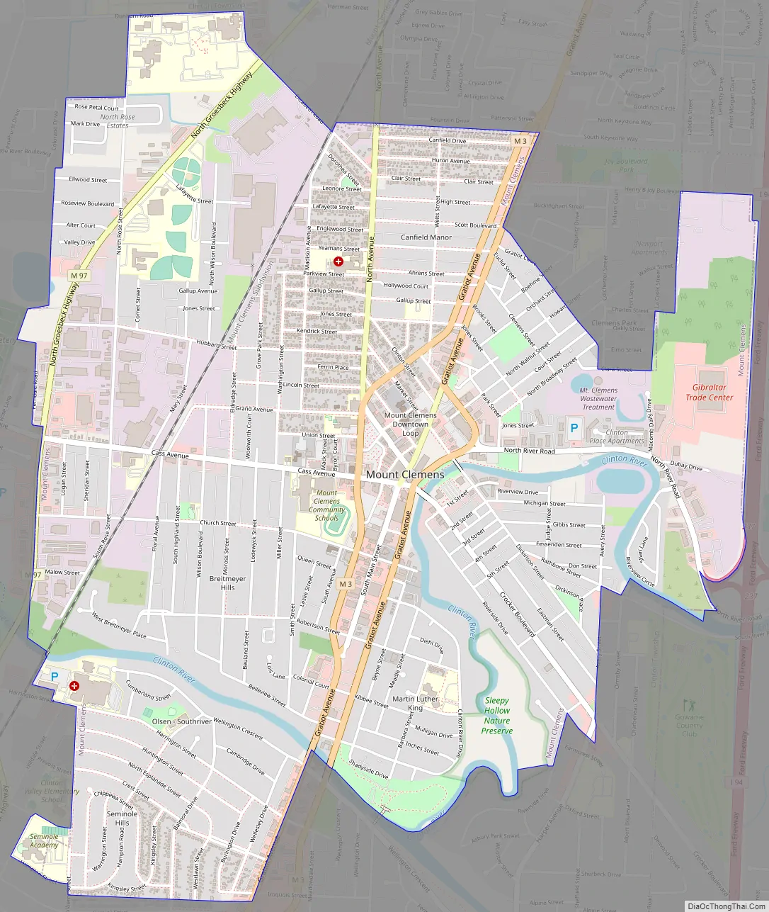
Mount Clemens Road Map
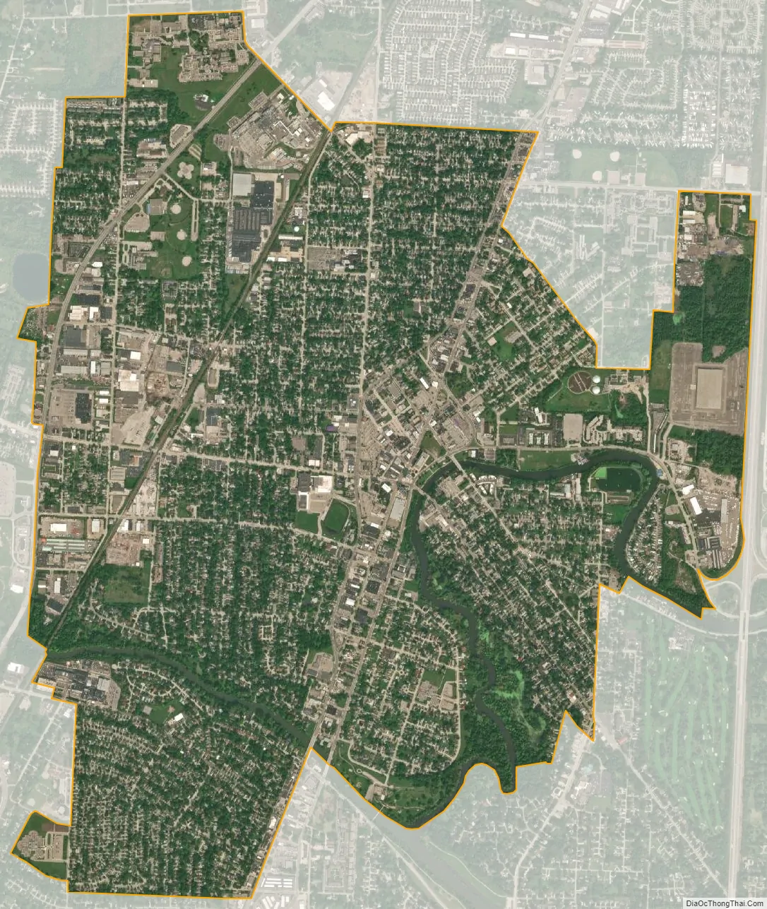
Mount Clemens city Satellite Map
Geography
According to the United States Census Bureau, the city has a total area of 4.20 square miles (10.88 km), of which 4.07 square miles (10.54 km) is land and 0.13 square miles (0.34 km) is water. The Clinton River runs through the city. The city is almost completely surrounded by Clinton Township, except for the far east side which borders Harrison Township.
Climate
See also
Map of Michigan State and its subdivision:- Alcona
- Alger
- Allegan
- Alpena
- Antrim
- Arenac
- Baraga
- Barry
- Bay
- Benzie
- Berrien
- Branch
- Calhoun
- Cass
- Charlevoix
- Cheboygan
- Chippewa
- Clare
- Clinton
- Crawford
- Delta
- Dickinson
- Eaton
- Emmet
- Genesee
- Gladwin
- Gogebic
- Grand Traverse
- Gratiot
- Hillsdale
- Houghton
- Huron
- Ingham
- Ionia
- Iosco
- Iron
- Isabella
- Jackson
- Kalamazoo
- Kalkaska
- Kent
- Keweenaw
- Lake
- Lake Hurron
- Lake Michigan
- Lake St. Clair
- Lake Superior
- Lapeer
- Leelanau
- Lenawee
- Livingston
- Luce
- Mackinac
- Macomb
- Manistee
- Marquette
- Mason
- Mecosta
- Menominee
- Midland
- Missaukee
- Monroe
- Montcalm
- Montmorency
- Muskegon
- Newaygo
- Oakland
- Oceana
- Ogemaw
- Ontonagon
- Osceola
- Oscoda
- Otsego
- Ottawa
- Presque Isle
- Roscommon
- Saginaw
- Saint Clair
- Saint Joseph
- Sanilac
- Schoolcraft
- Shiawassee
- Tuscola
- Van Buren
- Washtenaw
- Wayne
- Wexford
- Alabama
- Alaska
- Arizona
- Arkansas
- California
- Colorado
- Connecticut
- Delaware
- District of Columbia
- Florida
- Georgia
- Hawaii
- Idaho
- Illinois
- Indiana
- Iowa
- Kansas
- Kentucky
- Louisiana
- Maine
- Maryland
- Massachusetts
- Michigan
- Minnesota
- Mississippi
- Missouri
- Montana
- Nebraska
- Nevada
- New Hampshire
- New Jersey
- New Mexico
- New York
- North Carolina
- North Dakota
- Ohio
- Oklahoma
- Oregon
- Pennsylvania
- Rhode Island
- South Carolina
- South Dakota
- Tennessee
- Texas
- Utah
- Vermont
- Virginia
- Washington
- West Virginia
- Wisconsin
- Wyoming