Troy is a city in Oakland County, Michigan, United States. Its population was 87,294 at the 2020 U.S. census, making Troy the most populous city in the county and the 13th most-populous municipality in the state. Troy is a northern suburb of Metro Detroit, located about sixteen miles (26 km) northwest of downtown Detroit.
Troy was organized as a township in 1827, and sections of the township incorporated much later into the cities of Birmingham, Clawson, and Royal Oak. The remainder of the township incorporated as the present-day city of Troy in 1955.
Troy has become a business and shopping destination in the region, with numerous office centers and the upscale Somerset Collection mall. In 2011, Troy was ranked the safest city in Michigan and the 19th safest city in the United States. In 2008, Troy was ranked 22nd on a list of “Best Places to Live” in the United States by CNN Money, using criteria including housing, quality of education, economic strength, and recreational opportunities. In 2008, Troy was also ranked as the fourth most-affordable U.S. city with a median household income of approximately $79,000.
| Name: | Troy city |
|---|---|
| LSAD Code: | 25 |
| LSAD Description: | city (suffix) |
| State: | Michigan |
| County: | Oakland County |
| Incorporated: | 1955 |
| Elevation: | 748 ft (228 m) |
| Land Area: | 33.45 sq mi (86.63 km²) |
| Water Area: | 0.18 sq mi (0.47 km²) |
| Population Density: | 2,609.92/sq mi (1,007.69/km²) |
| Area code: | 248 and 947 |
| FIPS code: | 2680700 |
| GNISfeature ID: | 1615125 |
Online Interactive Map
Click on ![]() to view map in "full screen" mode.
to view map in "full screen" mode.
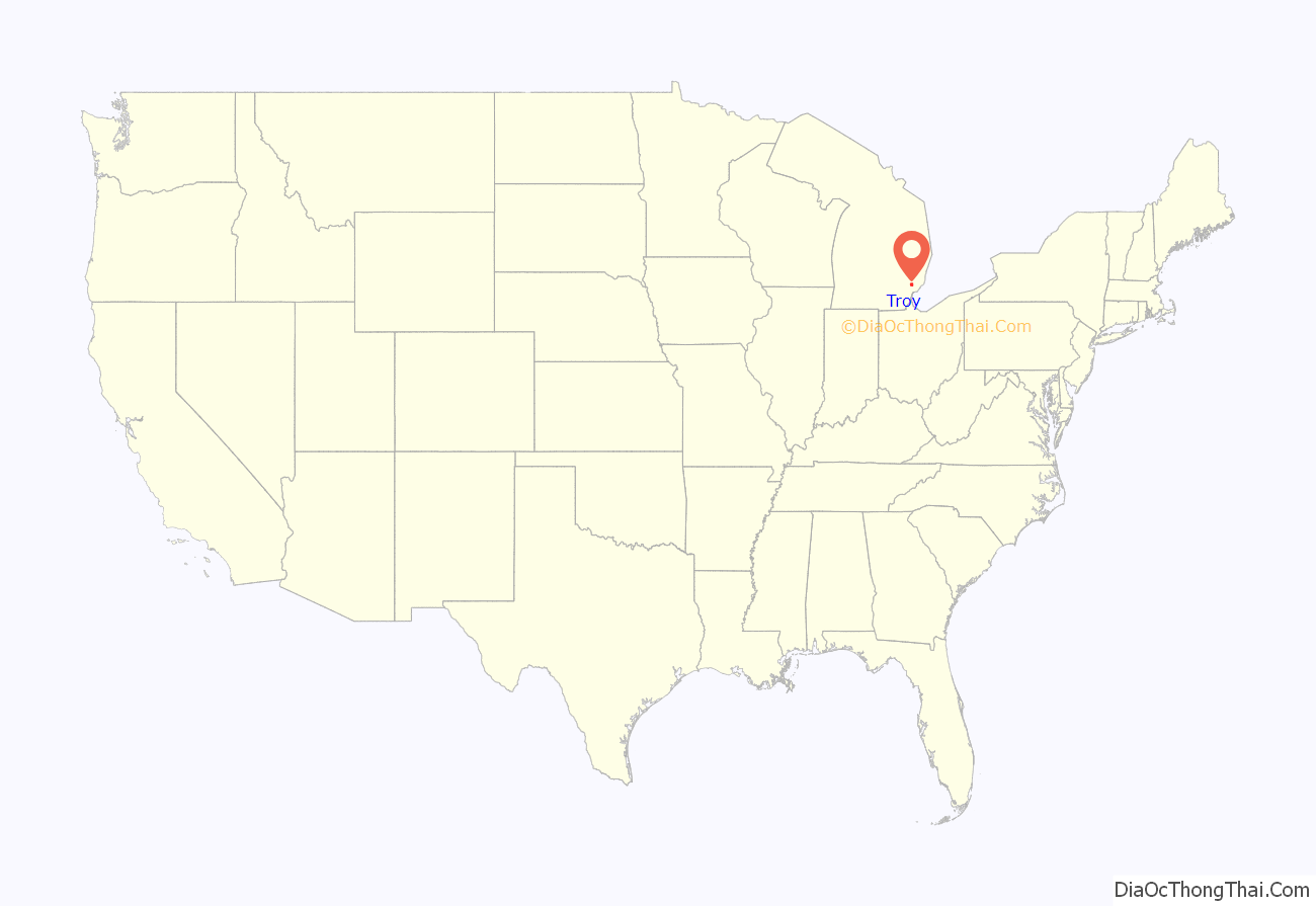
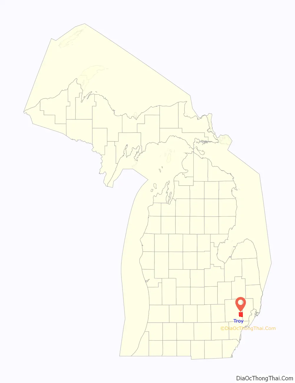
Troy location map. Where is Troy city?
History
The earliest recorded purchases of land in what was known as Troy Township occurred in 1819. A couple of years later a settlement known as Troy Corners was established due to Johnson Niles buying 160 acres in the region. The area is currently the north-central area of Troy. In 1827 Troy Township was established. In 1955, Troy was officially incorporated primarily as a strategy for preventing border cities from taking more land.
It was named after Troy, New York, and the ancient city of Troy, as many of the early settlers, as in much of Michigan, originated from New York.
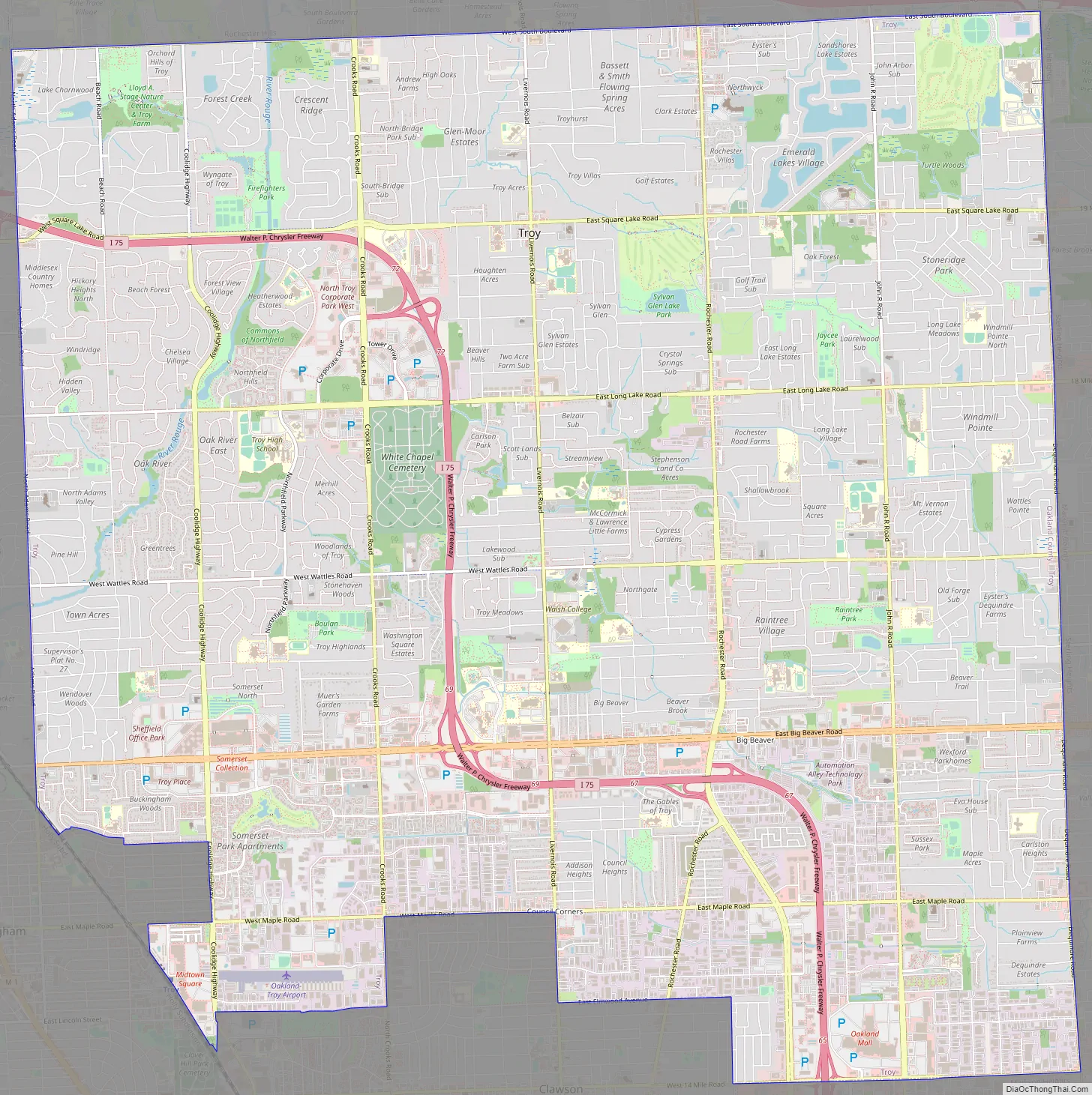
Troy Road Map
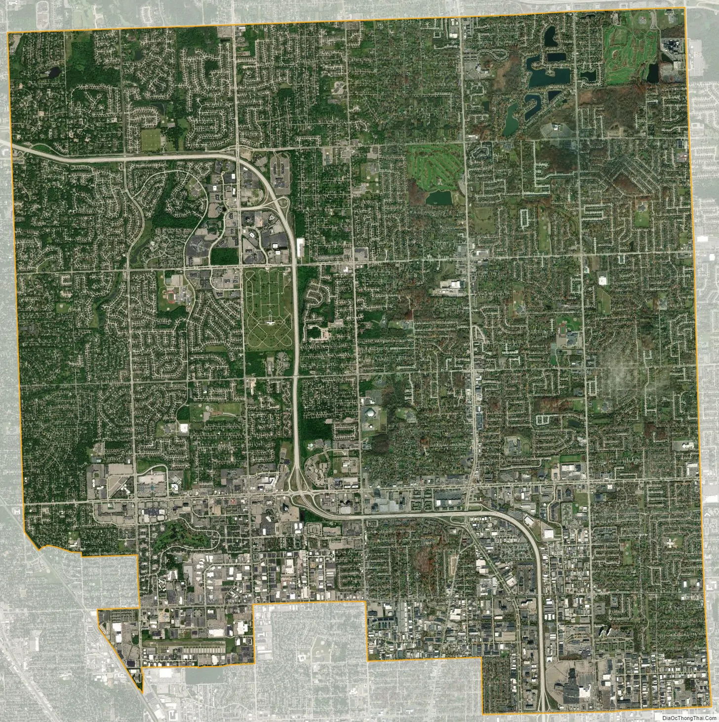
Troy city Satellite Map
Geography
According to the United States Census Bureau, the city has a total area of 33.64 square miles (87.13 km), of which 33.47 square miles (86.69 km) is land and 0.17 square miles (0.44 km) (0.51%) is water.
Climate
See also
Map of Michigan State and its subdivision:- Alcona
- Alger
- Allegan
- Alpena
- Antrim
- Arenac
- Baraga
- Barry
- Bay
- Benzie
- Berrien
- Branch
- Calhoun
- Cass
- Charlevoix
- Cheboygan
- Chippewa
- Clare
- Clinton
- Crawford
- Delta
- Dickinson
- Eaton
- Emmet
- Genesee
- Gladwin
- Gogebic
- Grand Traverse
- Gratiot
- Hillsdale
- Houghton
- Huron
- Ingham
- Ionia
- Iosco
- Iron
- Isabella
- Jackson
- Kalamazoo
- Kalkaska
- Kent
- Keweenaw
- Lake
- Lake Hurron
- Lake Michigan
- Lake St. Clair
- Lake Superior
- Lapeer
- Leelanau
- Lenawee
- Livingston
- Luce
- Mackinac
- Macomb
- Manistee
- Marquette
- Mason
- Mecosta
- Menominee
- Midland
- Missaukee
- Monroe
- Montcalm
- Montmorency
- Muskegon
- Newaygo
- Oakland
- Oceana
- Ogemaw
- Ontonagon
- Osceola
- Oscoda
- Otsego
- Ottawa
- Presque Isle
- Roscommon
- Saginaw
- Saint Clair
- Saint Joseph
- Sanilac
- Schoolcraft
- Shiawassee
- Tuscola
- Van Buren
- Washtenaw
- Wayne
- Wexford
- Alabama
- Alaska
- Arizona
- Arkansas
- California
- Colorado
- Connecticut
- Delaware
- District of Columbia
- Florida
- Georgia
- Hawaii
- Idaho
- Illinois
- Indiana
- Iowa
- Kansas
- Kentucky
- Louisiana
- Maine
- Maryland
- Massachusetts
- Michigan
- Minnesota
- Mississippi
- Missouri
- Montana
- Nebraska
- Nevada
- New Hampshire
- New Jersey
- New Mexico
- New York
- North Carolina
- North Dakota
- Ohio
- Oklahoma
- Oregon
- Pennsylvania
- Rhode Island
- South Carolina
- South Dakota
- Tennessee
- Texas
- Utah
- Vermont
- Virginia
- Washington
- West Virginia
- Wisconsin
- Wyoming


