Hamtramck (/hæmˈtræmɪk/ ham-TRAM-ik) is a city in Wayne County in the U.S. state of Michigan. As of the 2020 census, the city population was 28,433. Hamtramck is surrounded by the city of Detroit except for a small portion that borders the fellow enclave city of Highland Park. Hamtramck is by far the most densely populated municipality in the state of Michigan, and the only Muslim-majority town in the United States.
Known in the 20th century as a vibrant center of Polish-American life and culture, Hamtramck has attracted new immigrants in the 21st century, especially from Yemen, Bangladesh and Pakistan. In 2013, it reportedly became the first Muslim-majority city in the U.S. In 2015, Hamtramck became the first city to have a Muslim-majority city council in the history of the United States, with four of the six council members being Muslim. In November 2021, Hamtramck elected a completely Muslim-American city council and a Muslim mayor, becoming the first municipality in the United States to be governed entirely by Muslim-Americans.
| Name: | Hamtramck city |
|---|---|
| LSAD Code: | 25 |
| LSAD Description: | city (suffix) |
| State: | Michigan |
| County: | Wayne County |
| Incorporated: | 1901 (village) 1922 (city) |
| Elevation: | 623 ft (192 m) |
| Land Area: | 2.09 sq mi (5.41 km²) |
| Water Area: | 0.00 sq mi (0.00 km²) |
| Population Density: | 13,604.31/sq mi (5,253.10/km²) |
| Area code: | 313 |
| FIPS code: | 2636280 |
| GNISfeature ID: | 0627707 |
Online Interactive Map
Click on ![]() to view map in "full screen" mode.
to view map in "full screen" mode.
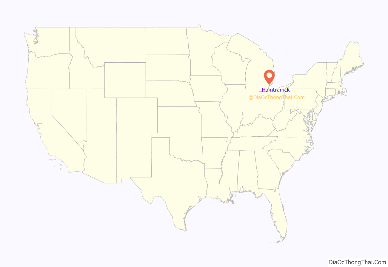
Hamtramck location map. Where is Hamtramck city?

History
Hamtramck was originally settled by German farmers, but Polish immigrants moved into the area when the Dodge Brothers plant opened in 1914. Poles previously made up a large proportion of the population. It is sometimes confused with Poletown, a traditional Polish neighborhood, which used to lie mostly in the city of Detroit and includes a small part of Hamtramck. As of the 2010 American Community Survey, 14.5% of Hamtramck’s population is of Polish origin whereas in 1970 it was 90% Polish.
Over the past thirty years, a large number of immigrants from the Middle East (especially Yemen), India, Pakistan, Bangladesh and Nepal, and Southeastern Europe (especially Bosnia and Herzegovina) have moved to the city. As of the 2010 American Community Survey, the city’s foreign born population stood at 41.1%, making it Michigan’s most internationally diverse city (see more at Demographics below). The population was 43,355 in the 1950 Census and 18,372 in 1990.
Hamtramck was primarily farmland, although the Detroit Stove Works employed 1,300 workers to manufacture stoves. In 1901, part of the township incorporated as a village to gain more control over the settlement’s affairs, and by 1922 the village was reincorporated as a city to fend off annexation attempts by the neighboring city of Detroit. By the mid-1920s, 78% of the residents of Hamtramck owned their own houses or were buying their houses. Around that time, the factory workers made up 85% of Hamtramck’s heads of households. Of those factory workers, about 50% were categorized as not skilled workers. In 1910, the newly founded Dodge Main assembly plant created jobs for thousands of workers and led to additional millions of dollars in the city. Dodge Main quickly expanded and became important to Hamtramck. Before the construction of Dodge Main, Hamtramck was a largely rural town. The establishment of the Dodge Main assembly plant led to a large influx of Polish immigrants who pushed out the incumbent German politicians. It was after this that Hamtramck was considered a Polish-American town.
By the end of the 20th century and the closing of Dodge Main, followed closely by General Motors razing of key parts of the Polish neighborhoods, the ethnicity of the region quickly shifted from traditionally Polish descendants to new Middle Eastern, Indian, Pakistani, Bangladeshi and Nepali immigrants. By the elections of 2015, the city is suggested to have been the first to elect a Muslim-majority council in the country.
Hamtramck Road Map

Hamtramck city Satellite Map

Geography
According to the United States Census Bureau, the city has a total area of 2.09 square miles (5.41 km), all land.
Hamtramck is mostly surrounded by Detroit except for its small common border with the city of Highland Park, which is in turn also mostly surrounded by Detroit. Hamtramck lies about 5 miles (8 km) from the center of Detroit. The I-75 freeway roughly runs along this city’s western border, and I-94 runs near its southern border.
See also
Map of Michigan State and its subdivision:- Alcona
- Alger
- Allegan
- Alpena
- Antrim
- Arenac
- Baraga
- Barry
- Bay
- Benzie
- Berrien
- Branch
- Calhoun
- Cass
- Charlevoix
- Cheboygan
- Chippewa
- Clare
- Clinton
- Crawford
- Delta
- Dickinson
- Eaton
- Emmet
- Genesee
- Gladwin
- Gogebic
- Grand Traverse
- Gratiot
- Hillsdale
- Houghton
- Huron
- Ingham
- Ionia
- Iosco
- Iron
- Isabella
- Jackson
- Kalamazoo
- Kalkaska
- Kent
- Keweenaw
- Lake
- Lake Hurron
- Lake Michigan
- Lake St. Clair
- Lake Superior
- Lapeer
- Leelanau
- Lenawee
- Livingston
- Luce
- Mackinac
- Macomb
- Manistee
- Marquette
- Mason
- Mecosta
- Menominee
- Midland
- Missaukee
- Monroe
- Montcalm
- Montmorency
- Muskegon
- Newaygo
- Oakland
- Oceana
- Ogemaw
- Ontonagon
- Osceola
- Oscoda
- Otsego
- Ottawa
- Presque Isle
- Roscommon
- Saginaw
- Saint Clair
- Saint Joseph
- Sanilac
- Schoolcraft
- Shiawassee
- Tuscola
- Van Buren
- Washtenaw
- Wayne
- Wexford
- Alabama
- Alaska
- Arizona
- Arkansas
- California
- Colorado
- Connecticut
- Delaware
- District of Columbia
- Florida
- Georgia
- Hawaii
- Idaho
- Illinois
- Indiana
- Iowa
- Kansas
- Kentucky
- Louisiana
- Maine
- Maryland
- Massachusetts
- Michigan
- Minnesota
- Mississippi
- Missouri
- Montana
- Nebraska
- Nevada
- New Hampshire
- New Jersey
- New Mexico
- New York
- North Carolina
- North Dakota
- Ohio
- Oklahoma
- Oregon
- Pennsylvania
- Rhode Island
- South Carolina
- South Dakota
- Tennessee
- Texas
- Utah
- Vermont
- Virginia
- Washington
- West Virginia
- Wisconsin
- Wyoming


