Brooklyn Park is a suburban city on the west bank of the Mississippi River, upstream from (north of) downtown Minneapolis in northern Hennepin County. It is the sixth-largest city in the U.S. state of Minnesota. The population was 86,478 at the 2020 census. The city still has undeveloped land and farms, including the historic Eidem Homestead, a 1900s working farm that is a popular tourist attraction for families and school field trips. Brooklyn Park is considered both a second- and third-tier suburb of Minneapolis, because much of the land north of 85th Avenue was developed after 2000.
WWE Hall of Fame wrestler Jesse Ventura served as mayor of Brooklyn Park from 1991 to 1995. He was elected governor of Minnesota in the 1998 election on a third-party ticket and served as governor from 1999 to 2003.
Brooklyn Park is listed as a “Tree City USA” and is home to 47 miles (76 km) of trails and 67 parks, including Rush Creek Regional Trail and the northern section of Palmer Lake Park. The city is also known for Mississippi Gateway Regional Park, on the west side of Coon Rapids Dam Regional Park. Rasmussen University, North Hennepin Community College and a campus of Hennepin Technical College are in the city.
| Name: | Brooklyn Park city |
|---|---|
| LSAD Code: | 25 |
| LSAD Description: | city (suffix) |
| State: | Minnesota |
| County: | Hennepin County |
| Founded: | 1854 |
| Incorporated: | 1954 |
| Elevation: | 869 ft (265 m) |
| Land Area: | 26.08 sq mi (67.54 km²) |
| Water Area: | 0.47 sq mi (1.22 km²) 1.88% |
| Population Density: | 3,316.38/sq mi (1,280.47/km²) |
| ZIP code: | 55428, 55429, 55443, 55444, 55445 |
| Area code: | 763 |
| FIPS code: | 2707966 |
| GNISfeature ID: | 0640511 |
| Website: | brooklynpark.org |
Online Interactive Map
Click on ![]() to view map in "full screen" mode.
to view map in "full screen" mode.
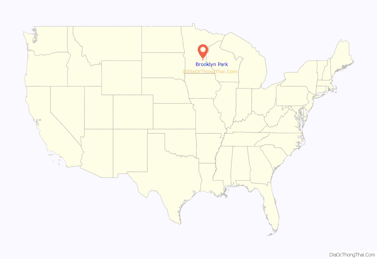
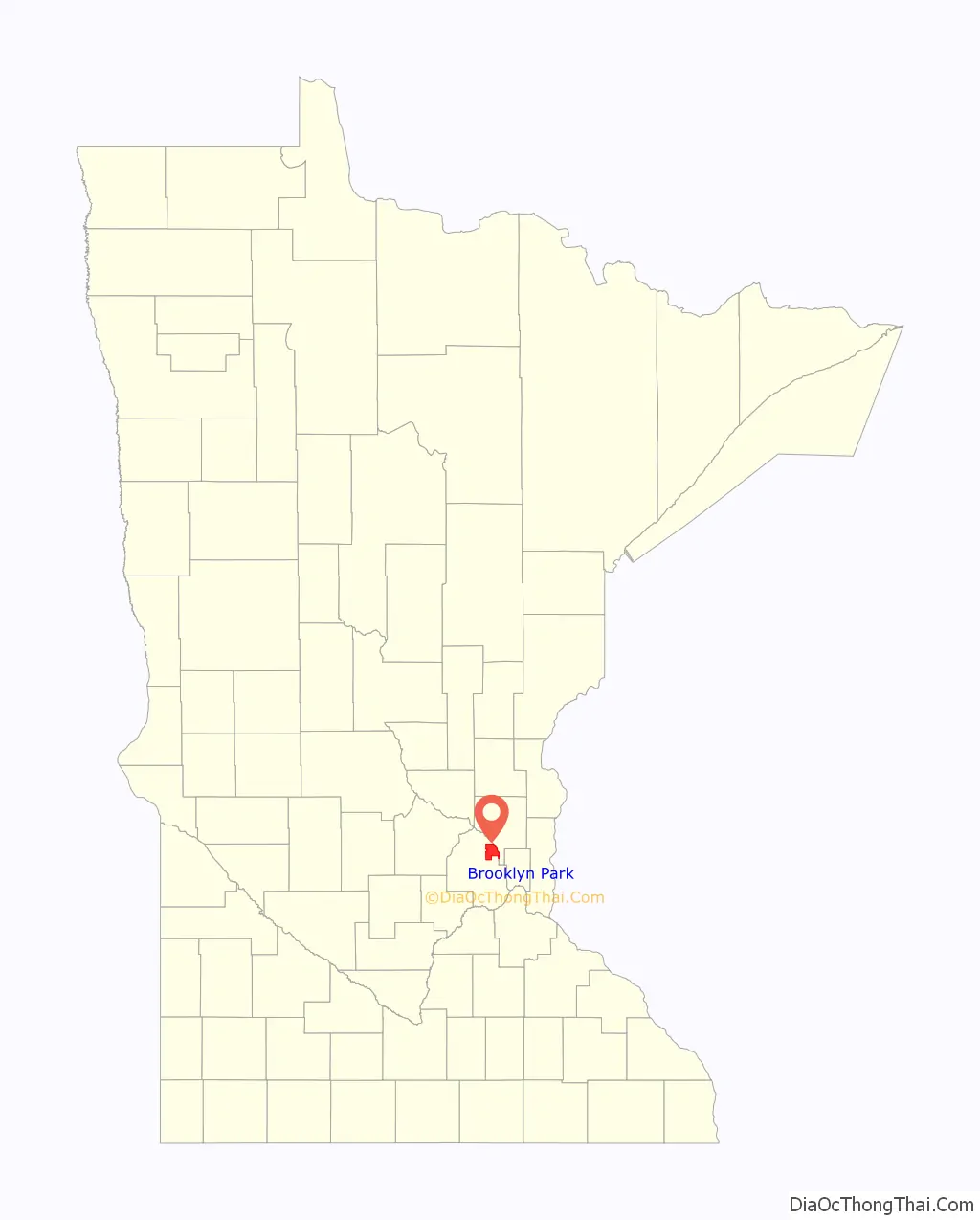
Brooklyn Park location map. Where is Brooklyn Park city?
History
Settlers from Michigan formally organized town government in 1858 and named the area after their hometown of Brooklyn, Michigan. Formerly Brooklyn Township, the township split in 1911 when the southeast community incorporated into Brooklyn Center. Brooklyn Township incorporated as the Village of Brooklyn Park in 1954, and incorporated as a city in 1969.
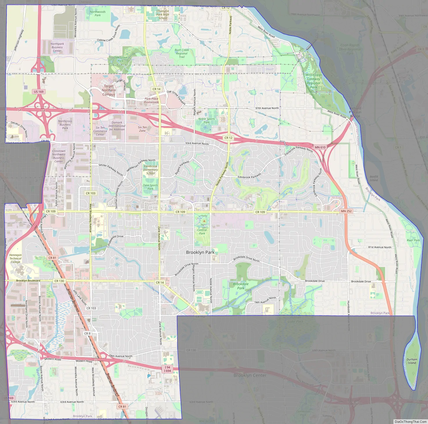
Brooklyn Park Road Map
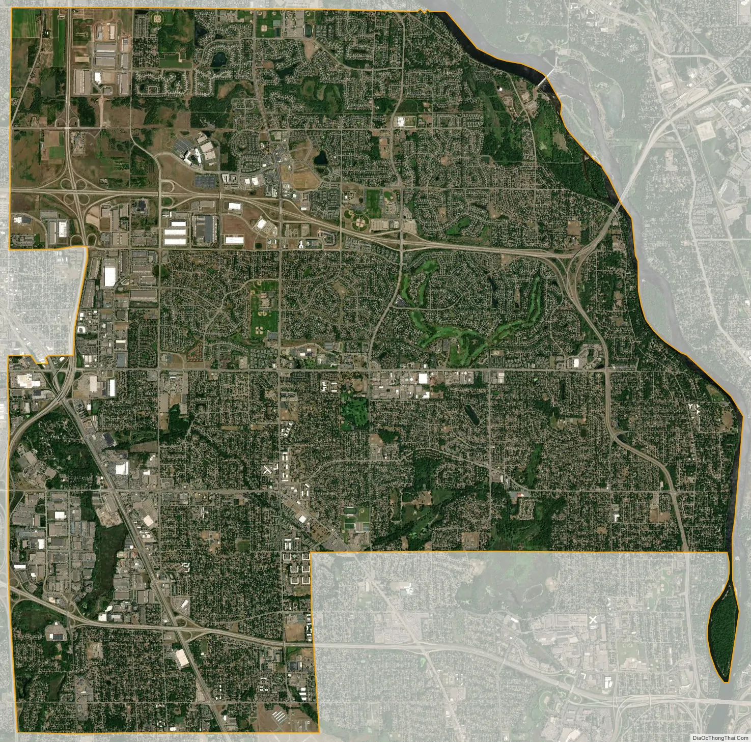
Brooklyn Park city Satellite Map
Geography
According to the United States Census Bureau, the city has a total area of 26.57 square miles (68.82 km), of which 26.07 square miles (67.52 km) are land and 0.50 square miles (1.29 km), or 1.87%, are water. The Mississippi River forms the eastern boundary of the city, separating it from Coon Rapids and Fridley in Anoka County.
Interstates 94 and 694 are located in the far southern portion of Brooklyn Park. U.S. Highway 169 is located near the western part of the city. State Highway 252, a 4.5-mile (7.2 km) north–south highway, is located near the eastern portion of the city. State Highway 610 runs east–west through the northern portion of Brooklyn Park. County Road 81 also serves as one of the main routes.
See also
Map of Minnesota State and its subdivision:- Aitkin
- Anoka
- Becker
- Beltrami
- Benton
- Big Stone
- Blue Earth
- Brown
- Carlton
- Carver
- Cass
- Chippewa
- Chisago
- Clay
- Clearwater
- Cook
- Cottonwood
- Crow Wing
- Dakota
- Dodge
- Douglas
- Faribault
- Fillmore
- Freeborn
- Goodhue
- Grant
- Hennepin
- Houston
- Hubbard
- Isanti
- Itasca
- Jackson
- Kanabec
- Kandiyohi
- Kittson
- Koochiching
- Lac qui Parle
- Lake
- Lake of the Woods
- Lake Superior
- Le Sueur
- Lincoln
- Lyon
- Mahnomen
- Marshall
- Martin
- McLeod
- Meeker
- Mille Lacs
- Morrison
- Mower
- Murray
- Nicollet
- Nobles
- Norman
- Olmsted
- Otter Tail
- Pennington
- Pine
- Pipestone
- Polk
- Pope
- Ramsey
- Red Lake
- Redwood
- Renville
- Rice
- Rock
- Roseau
- Saint Louis
- Scott
- Sherburne
- Sibley
- Stearns
- Steele
- Stevens
- Swift
- Todd
- Traverse
- Wabasha
- Wadena
- Waseca
- Washington
- Watonwan
- Wilkin
- Winona
- Wright
- Yellow Medicine
- Alabama
- Alaska
- Arizona
- Arkansas
- California
- Colorado
- Connecticut
- Delaware
- District of Columbia
- Florida
- Georgia
- Hawaii
- Idaho
- Illinois
- Indiana
- Iowa
- Kansas
- Kentucky
- Louisiana
- Maine
- Maryland
- Massachusetts
- Michigan
- Minnesota
- Mississippi
- Missouri
- Montana
- Nebraska
- Nevada
- New Hampshire
- New Jersey
- New Mexico
- New York
- North Carolina
- North Dakota
- Ohio
- Oklahoma
- Oregon
- Pennsylvania
- Rhode Island
- South Carolina
- South Dakota
- Tennessee
- Texas
- Utah
- Vermont
- Virginia
- Washington
- West Virginia
- Wisconsin
- Wyoming


