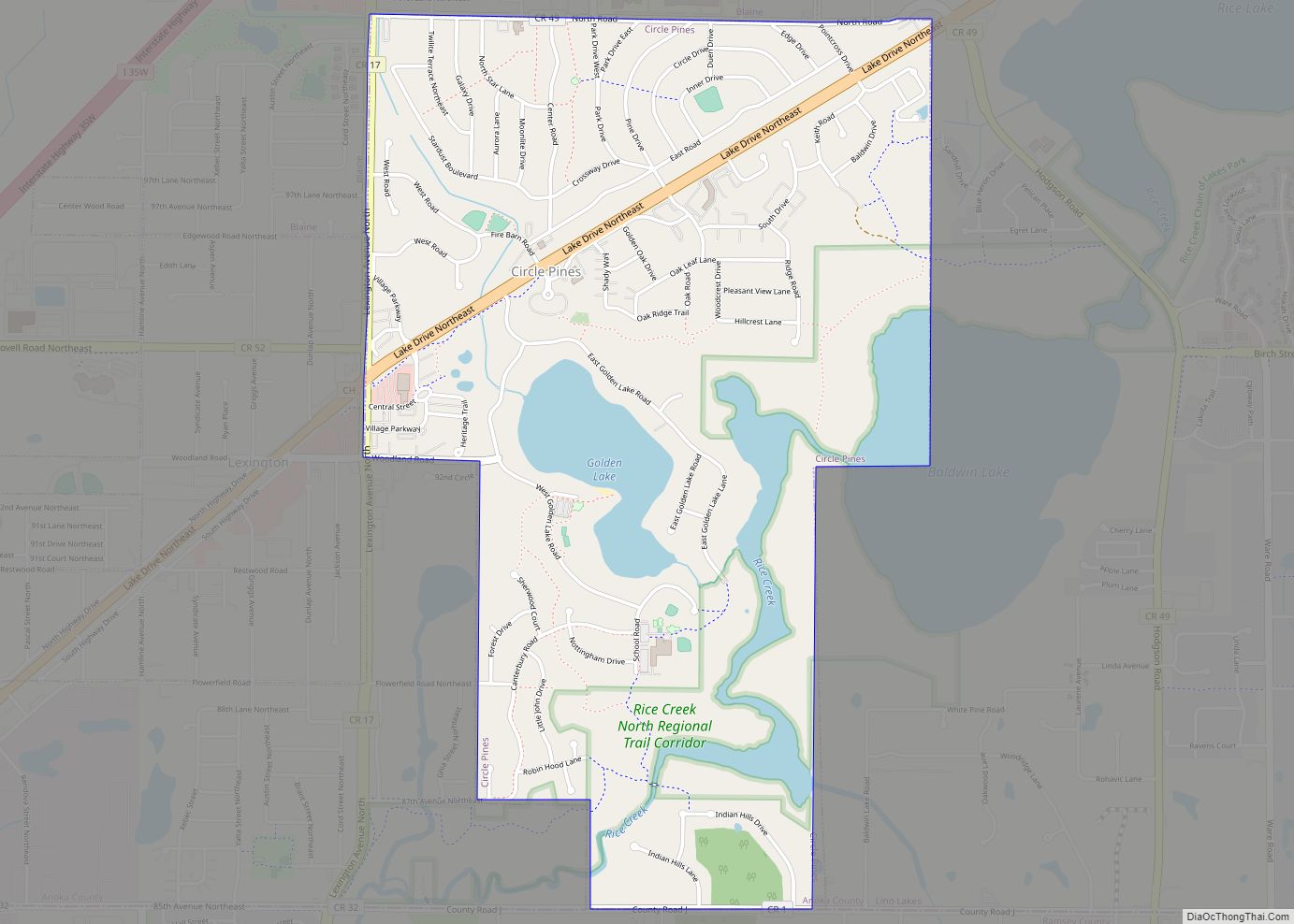
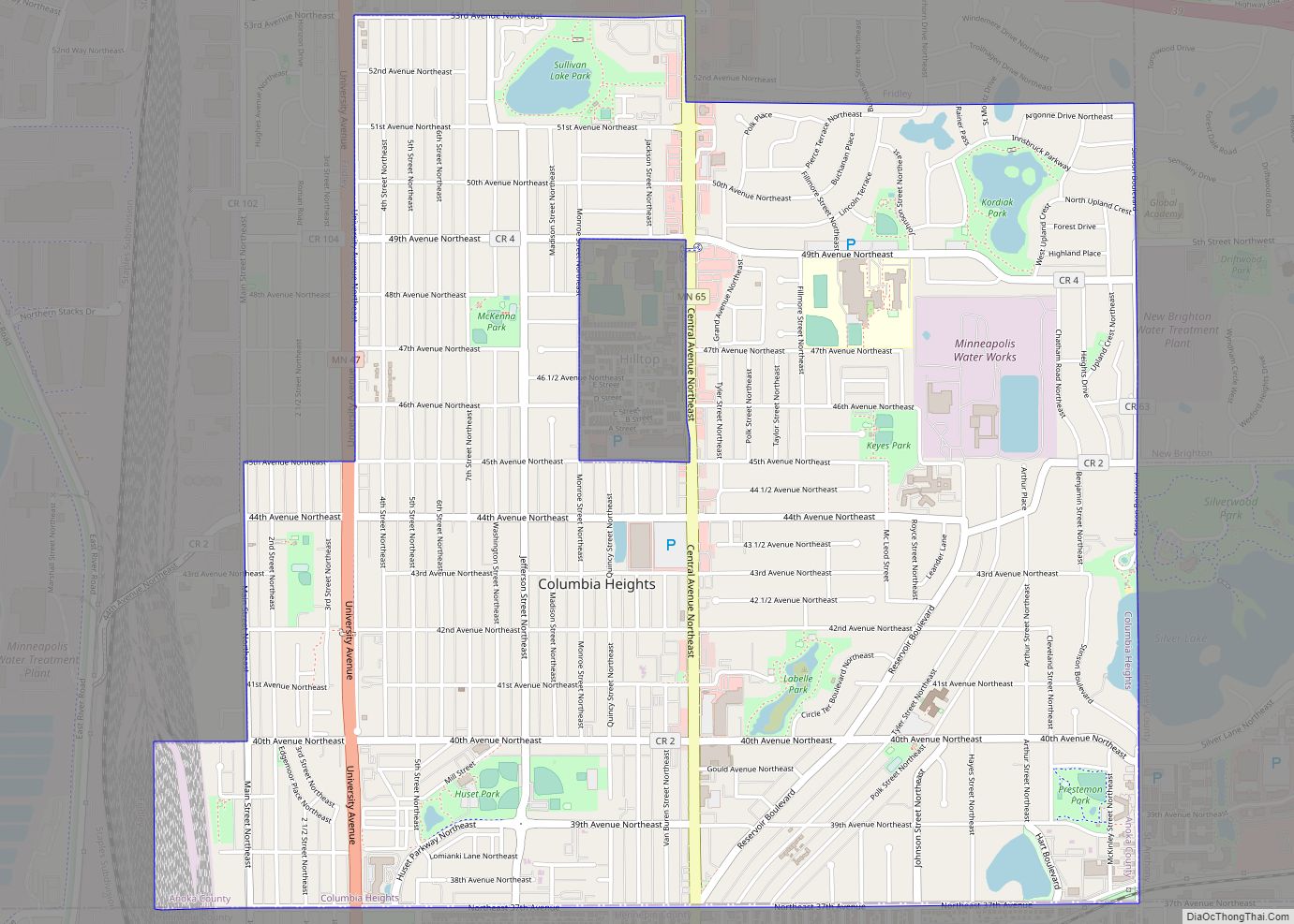
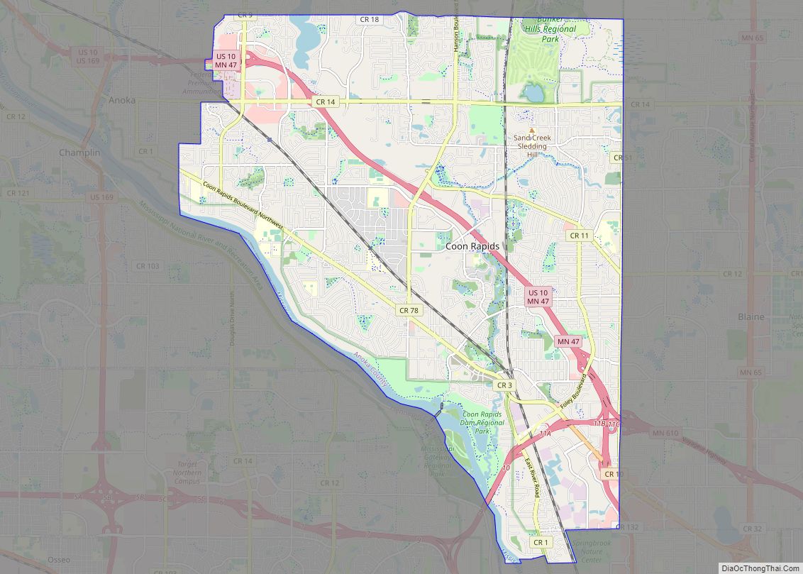
Fridley is a city in Anoka County, Minnesota, United States. Its population was 29,590 at the 2020 census. Fridley was incorporated in 1949 as a village, and became a city in 1957. It is part of the Minneapolis–Saint Paul metropolitan area as a “first-ring” or “inner-ring” suburb its northern part. Fridley borders Minneapolis to the southwest. Neighboring first-ring suburbs are Columbia Heights to the south and Brooklyn Center to the west, across the Mississippi River.
| Name: | Fridley city |
|---|---|
| LSAD Code: | 25 |
| LSAD Description: | city (suffix) |
| State: | Minnesota |
| County: | Anoka County |
| Elevation: | 850 ft (259 m) |
| Total Area: | 10.88 sq mi (28.18 km²) |
| Land Area: | 10.16 sq mi (26.32 km²) |
| Water Area: | 0.72 sq mi (1.86 km²) |
| Total Population: | 29,590 |
| Population Density: | 2,911.26/sq mi (1,124.08/km²) |
| ZIP code: | 55421, 55432 |
| Area code: | 763 |
| FIPS code: | 2722814 |
| GNISfeature ID: | 2394826 |
| Website: | ci.fridley.mn.us |
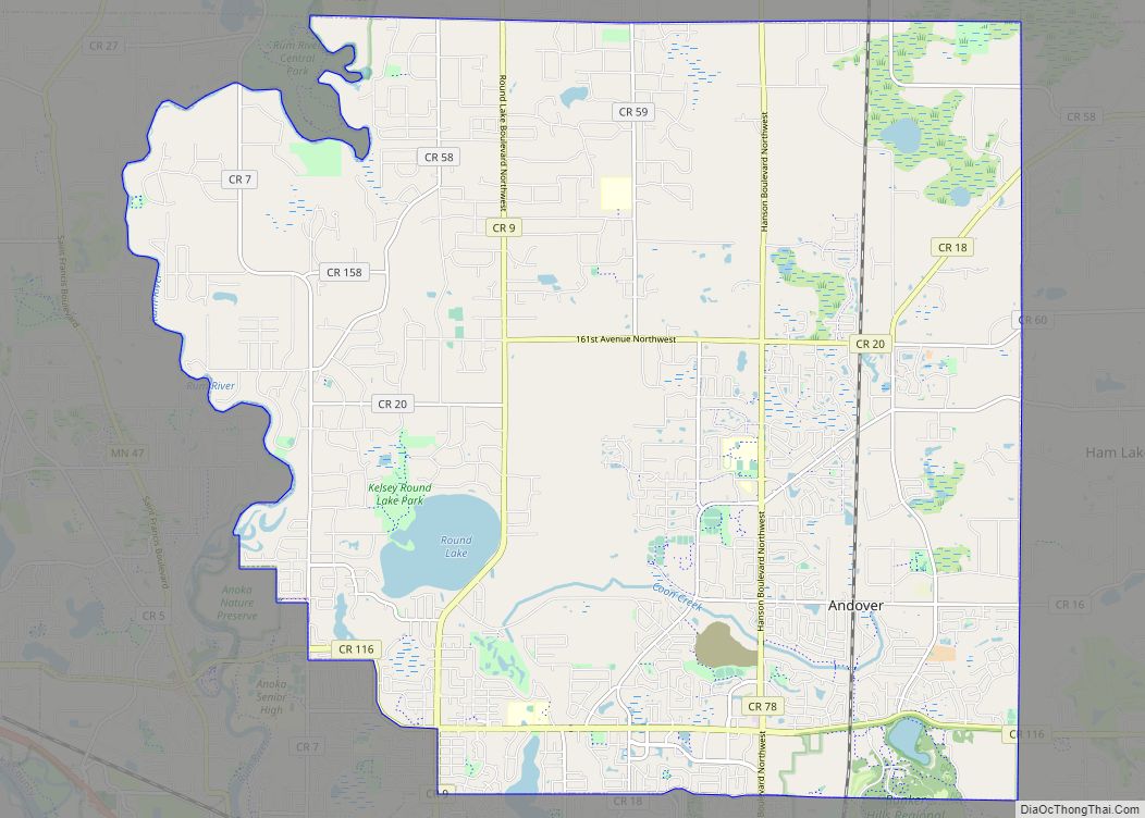
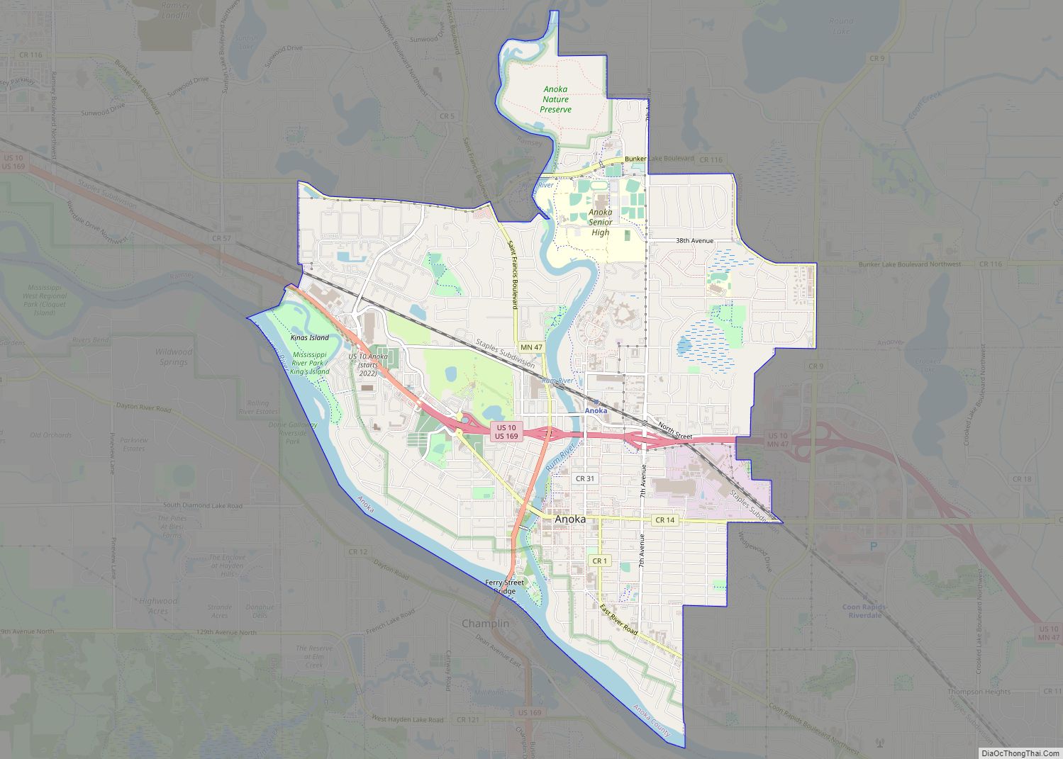
Online Interactive Map
Click on ![]() to view map in "full screen" mode.
to view map in "full screen" mode.
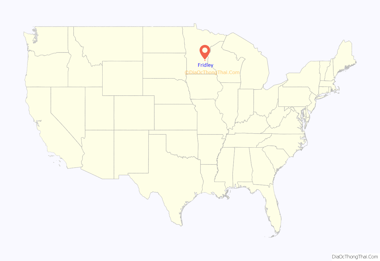
Fridley location map. Where is Fridley city?

History
19th century
Fridley’s post-European/American settlement history began with the construction of the Red River Trails Woods trail for the Red River ox carts in 1844. The trail traveled through Minnesota Territory from St. Paul to Pembina in present-day North Dakota. It was used to transport furs to the south and other supplies to Red River Valley settlers in the north. The East River Road (Anoka County Highway 1) follows this route today within Fridley, from the border with Minneapolis to the border with Coon Rapids.
In 1847, John Banfill became the first settler in the area, which was known at the time as Manomin. Manomin is a variant spelling of manoomin, the Ojibwe word for wild rice, a staple of their diet. It comprised the modern-day municipalities of Columbia Heights, Fridley, Hilltop, and Spring Lake Park. The Banfill Tavern was built in 1847.
The area soon grew quickly in size. In 1851, Banfill platted the actual town of Manomin. There, a general store and sawmill were built next to Rice Creek, named after Henry Mower Rice, a settler who two years earlier had acquired land in the area. In 1853, the first town post office was in operation, and a year later, a ferry crossing the Mississippi River was established.
In 1855, Abram M. Fridley, for whom the city is named, was elected as the first territorial representative for the area.
In 1857, the area separated from Ramsey County; Manomin County was established, and it became the smallest county in the nation, with only 18 sections. This distinction was short-lived, after it was annexed by Anoka County in 1870 and became a township with the same name.
The Saint Paul and Pacific Railroad, which joined St. Paul to St. Anthony across from Minneapolis in 1862, began extending rail to Anoka, reaching it through Fridley in 1864.
In 1879, the Minnesota State Legislature, of which Abram Fridley was still a member, changed the township’s name to bear his name.
20th century
In 1949, Fridley Township was incorporated as the Village of Fridley. The Fridley Free Press was also established. A lawsuit that challenged the village’s incorporation caused the funds to be frozen. Minnesota state law allowed cities to operate municipal liquor stores after Prohibition ended. Fridley’s liquor store proceeds were the primary funding for daily city operations until the lawsuit was resolved in 1950. Minnesota has both private liquor stores and city-owned municipal liquor stores. Fridley is the location of the headquarters of the Minnesota Municipal Beverage Association (MMBA), a lobbying coalition for municipalities with city-owned liquor stores. In conjunction with the Minnesota Licensed Beverage Association, it lobbied against Sunday liquor store sales in Minnesota until they were finally permitted in 2017.
In 1957, the village became the City of Fridley, a “home rule charter city”. City Hall, at 6431 University Avenue Northeast, is has a fire station, city services and council meetings. A newer fire station was built in 1964. Fridley’s population grew past 15,000 in the 1950s and peaked over 30,000 by the 1970s.
Two of Fridley’s worst disasters happened within weeks of each other. In April 1965, Minnesota was affected by a “500-year flood”. The spring flood on the Upper Mississippi is still the flood of record for from about 100 miles north of Minneapolis to Hannibal, Missouri. The crests that April exceeded previous records by several feet at many river gauge sites. Those record crests still exceed the second-highest crest by a foot or more at many of those sites. An ice jam rising 24 feet over the river broke up when it rammed a series of ice breakers above the Sartell Dam. The Riverview Heights area where Springbrook creek enters the river was severely flooded.
On May 6, 1965, Fridley was hit by two F4 tornadoes. One out of every four homes in the city was destroyed or damaged. The second twister to hit was the deadliest storm in Twin Cities history, killing 13 people. Parts of City Hall and the fire station were damaged.
In 1967, a new Civic Center Building opened at the City Hall location, with a plaza to the south. This building was remodeled in 1989 and demolished in 2019. The acreage around 73rd and (old) Central was purchased by growing Minneapolis-originated companies, Medtronic, Inc. and Onan Corporation, for manufacturing facilities.
In 1970, Fridley began purchasing land that would become the Springbrook Nature Center. On July 18, 1986, a widely photographed tornado spent 16 minutes in Springbrook Nature Center, destroying thousands of century-old trees and extensive areas of mature forest habitat. Well-known aerial footage of the tornado was filmed by a KARE 11 television news helicopter passing through the area.
21st century
In 2001, Medtronic opened its new World Headquarters on the site of the 100 Twin Drive-in at Interstate 694 and Minnesota Highway 65. As of 2019, it is still the Operational Headquarters for Medtronic, PLC, which reorganized as an Irish company in 2015.
On June 19, 2003, President George W. Bush visited the Micro Controls company in Fridley. He was promoting one of the tax relief changes made during his administration.
In the early 2000s, the Minnesota Sports Cafe was a notable venue for mixed martial arts competitions. Fighters who have claimed victories in Fridley include Sean Sherk, Nick Thompson, Brock Larson, Marcus LeVesseur, Brian Ebersole, and Harry Moskowitz.
On September 21, 2005, Fridley was struck by straight-line winds exceeding 80 mph (130 km/h), toppling many old growth trees as large as 2.5 feet (0.76 m) in diameter and destroying dozens of homes and several vehicles. Cleanup efforts took a week, leaving hundreds of residents stranded in their homes without power, unable to drive until streets were cleared of debris. The storm also affected Brooklyn Center, New Brighton, Brooklyn Park, Coon Rapids, Spring Lake Park Blaine, and other communities in the surrounding North Metro area.
Fridley has one of the first six stations of the Northstar Commuter Rail line connecting the northwest suburbs and downtown Minneapolis; the line opened in November 2009.
On July 17, 2011, heavy rains caused a washout of the BNSF rail bridge over Rice Creek. A train derailed there and sent hopper cars containing corn into the creek. Traffic was rerouted for several days. In 2013, a jury awarded damages from BNSF to the engineer and conductor of the train.
The Columbia Arena, filming location for the Disney Movie D3: The Mighty Ducks, was demolished in 2016 to make way for a new City Hall. This was controversial because it was expected to cost $50 million and increase homeowner taxes by 19%. The Fridley Civic Campus dedication at 7071 University Avenue NE was held on November 17, 2018. The staff had moved from the previous city hall over Veteran’s Day weekend and began working there on November 12. The city council approved the project in December 2016 after nearly three years of studies, meetings and workshops. The council raised the levy to pay for the project, increasing city taxes about 16% for the average homeowner. A number of other Twin Cities suburbs updated their civic facilities during a 2018 “building boom of sorts”, including Eagan, New Hope, Minnetonka, and Burnsville.
Fridley received an allocation of $1.52 million from the American Rescue Plan Act of 2021 (ARPA). The money was used to upgrade and repair its water distribution system and wastewater and storm water infrastructure. The city plans in 2022 to use the next allocation of $1.52 million to improve security at water treatment plants, rebuild its water distribution system, and on sanitary sewer and water quality projects.
President Joe Biden visited the Cummins plant in Fridley on April 3, 2022. It was part of his “Investing in America” tour. Cummins had announced a US$1 billion initiative to produce clean energy technology, including electrolysers for hydrogen cells in Fridley.
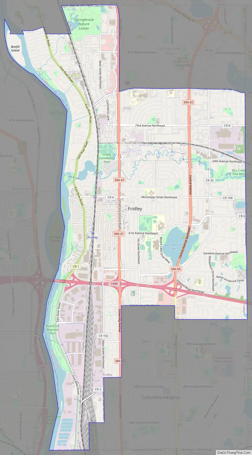
Fridley Road Map
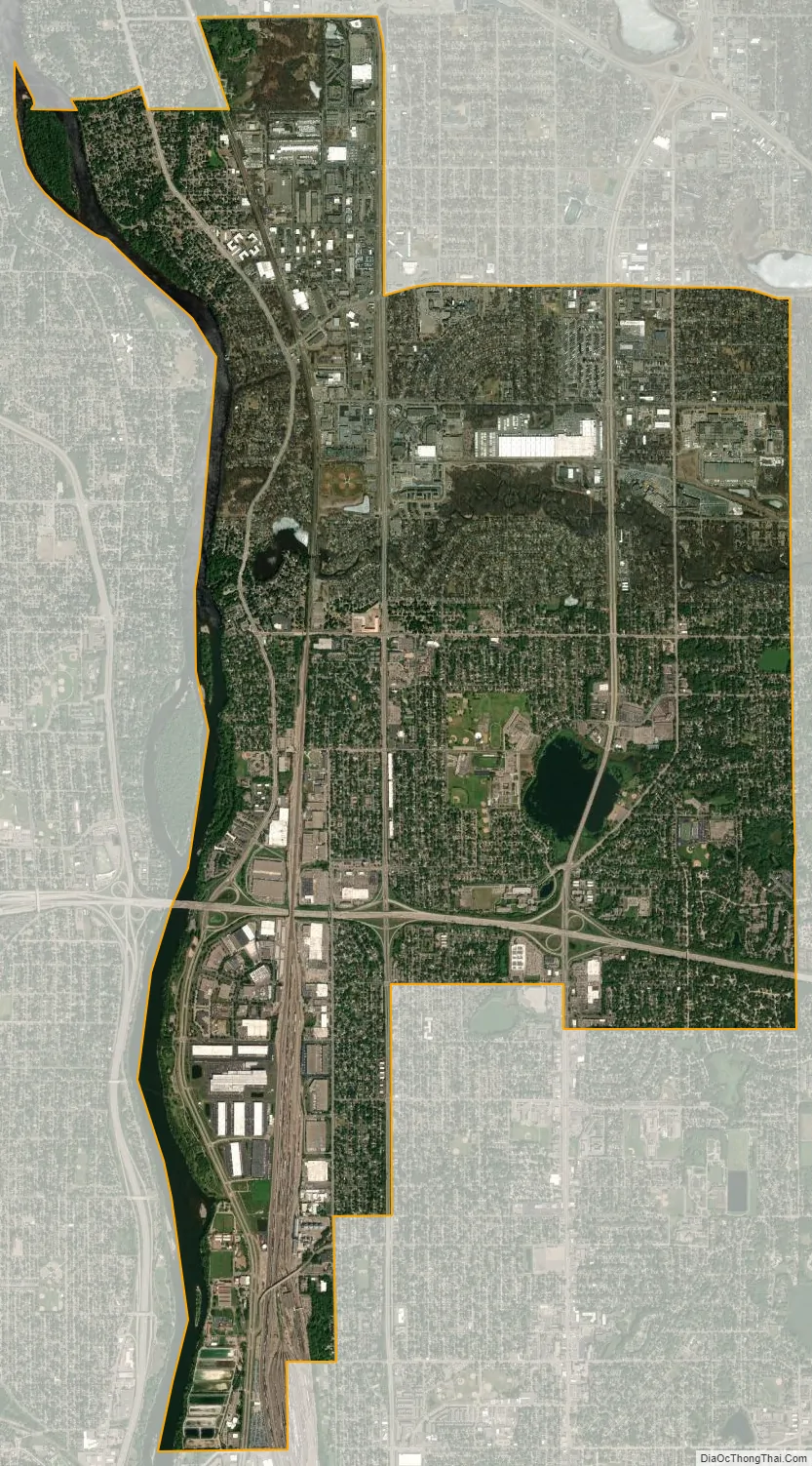
Fridley city Satellite Map
Geography
According to the United States Census Bureau, the city has an area of 10.89 square miles (28.20 km), of which 10.17 square miles (26.34 km) are land and 0.72 square miles (1.86 km) is covered by water.
The city lies within a narrow portion of the southernmost part of Anoka County. It is longer north–south along the path of the Mississippi River, and the highways that follow the river. It is narrower east/west in the portion between the Mississippi River and Spring Lake Park.
Fridley borders the cities of Coon Rapids and Blaine to the north; Spring Lake Park to the northeast; Mounds View and New Brighton to the east; Columbia Heights to the southeast; Minneapolis to the southwest; and Brooklyn Park and Brooklyn Center to the west.
Fridley is at the southern edge of the Anoka Sand Plain. Lakes in Fridley include East Moore Lake, West Moore Lake, and Locke Lake. Rice Creek flows through the central part of the city, Springbrook Creek through the northwest section, and the Mississippi River borders Fridley to the west. Parts of islands in the Mississippi River, including the Islands of Peace and Banfill Island, are within the city.
Climate
Fridley shares its climate with nearby Minneapolis. It has a hot-summer humid continental climate zone (Dfa in the Köppen climate classification), typical of southern parts of the Upper Midwest, and is situated in USDA plant hardiness zone 4b. As is typical in a continental climate, the difference between average temperatures in the coldest winter month and the warmest summer month is great: 60.1 °F (33.4 °C).
See also
Map of Minnesota State and its subdivision:- Aitkin
- Anoka
- Becker
- Beltrami
- Benton
- Big Stone
- Blue Earth
- Brown
- Carlton
- Carver
- Cass
- Chippewa
- Chisago
- Clay
- Clearwater
- Cook
- Cottonwood
- Crow Wing
- Dakota
- Dodge
- Douglas
- Faribault
- Fillmore
- Freeborn
- Goodhue
- Grant
- Hennepin
- Houston
- Hubbard
- Isanti
- Itasca
- Jackson
- Kanabec
- Kandiyohi
- Kittson
- Koochiching
- Lac qui Parle
- Lake
- Lake of the Woods
- Lake Superior
- Le Sueur
- Lincoln
- Lyon
- Mahnomen
- Marshall
- Martin
- McLeod
- Meeker
- Mille Lacs
- Morrison
- Mower
- Murray
- Nicollet
- Nobles
- Norman
- Olmsted
- Otter Tail
- Pennington
- Pine
- Pipestone
- Polk
- Pope
- Ramsey
- Red Lake
- Redwood
- Renville
- Rice
- Rock
- Roseau
- Saint Louis
- Scott
- Sherburne
- Sibley
- Stearns
- Steele
- Stevens
- Swift
- Todd
- Traverse
- Wabasha
- Wadena
- Waseca
- Washington
- Watonwan
- Wilkin
- Winona
- Wright
- Yellow Medicine
- Alabama
- Alaska
- Arizona
- Arkansas
- California
- Colorado
- Connecticut
- Delaware
- District of Columbia
- Florida
- Georgia
- Hawaii
- Idaho
- Illinois
- Indiana
- Iowa
- Kansas
- Kentucky
- Louisiana
- Maine
- Maryland
- Massachusetts
- Michigan
- Minnesota
- Mississippi
- Missouri
- Montana
- Nebraska
- Nevada
- New Hampshire
- New Jersey
- New Mexico
- New York
- North Carolina
- North Dakota
- Ohio
- Oklahoma
- Oregon
- Pennsylvania
- Rhode Island
- South Carolina
- South Dakota
- Tennessee
- Texas
- Utah
- Vermont
- Virginia
- Washington
- West Virginia
- Wisconsin
- Wyoming