Circle Pines is a city in Anoka County, Minnesota, United States. The population was 5,025 at the 2020 census.
| Name: | Circle Pines city |
|---|---|
| LSAD Code: | 25 |
| LSAD Description: | city (suffix) |
| State: | Minnesota |
| County: | Anoka County |
| Incorporated: | April 13, 1950 |
| Elevation: | 909 ft (277 m) |
| Total Area: | 1.95 sq mi (5.04 km²) |
| Land Area: | 1.75 sq mi (4.53 km²) |
| Water Area: | 0.20 sq mi (0.51 km²) |
| Total Population: | 5,025 |
| Population Density: | 2,874.71/sq mi (1,109.89/km²) |
| ZIP code: | 55014 |
| Area code: | 763 |
| FIPS code: | 2711494 |
| GNISfeature ID: | 2393526 |
| Website: | ci.circle-pines.mn.us |
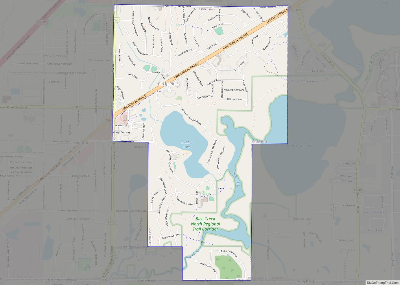
Online Interactive Map
Click on ![]() to view map in "full screen" mode.
to view map in "full screen" mode.
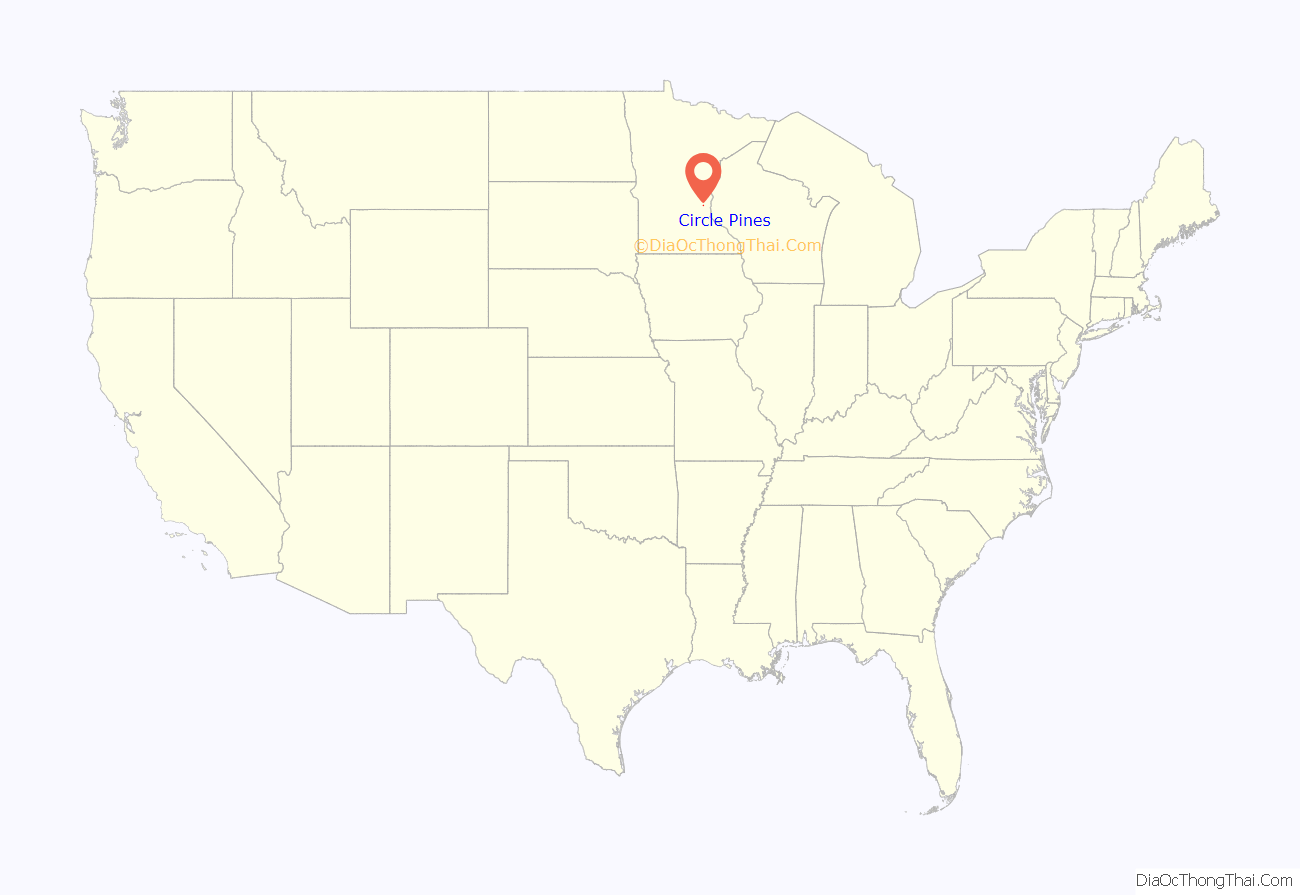
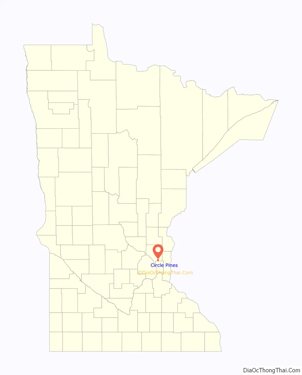
Circle Pines location map. Where is Circle Pines city?
History
Circle Pines was founded as a planned cooperative community in which homeowners owned equal shares in the cooperative association which owned and developed the community. The name was selected because the cooperative movement in the United States in the 1940s used a circle encompassing two pine trees as its symbol. Although the community is no longer governed as a co–op, a municipally–owned gas utility remains as an operational memorial to Circle Pines’ community heritage.
The Gibas family were one of the original families of the Circle Pines cooperative. Their papers offer further insight into the origins of Circle Pines, Minnesota. Articles and speeches, news clippings, correspondence, and photographs are available for research use.
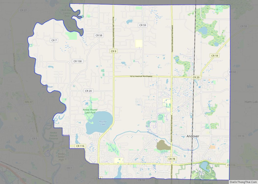
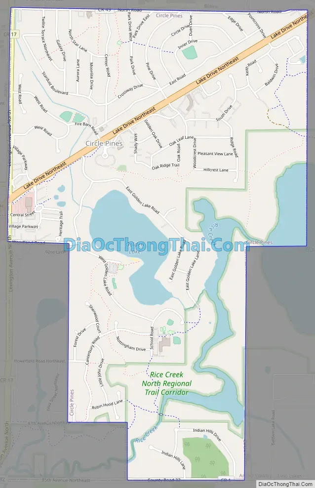
Circle Pines Road Map
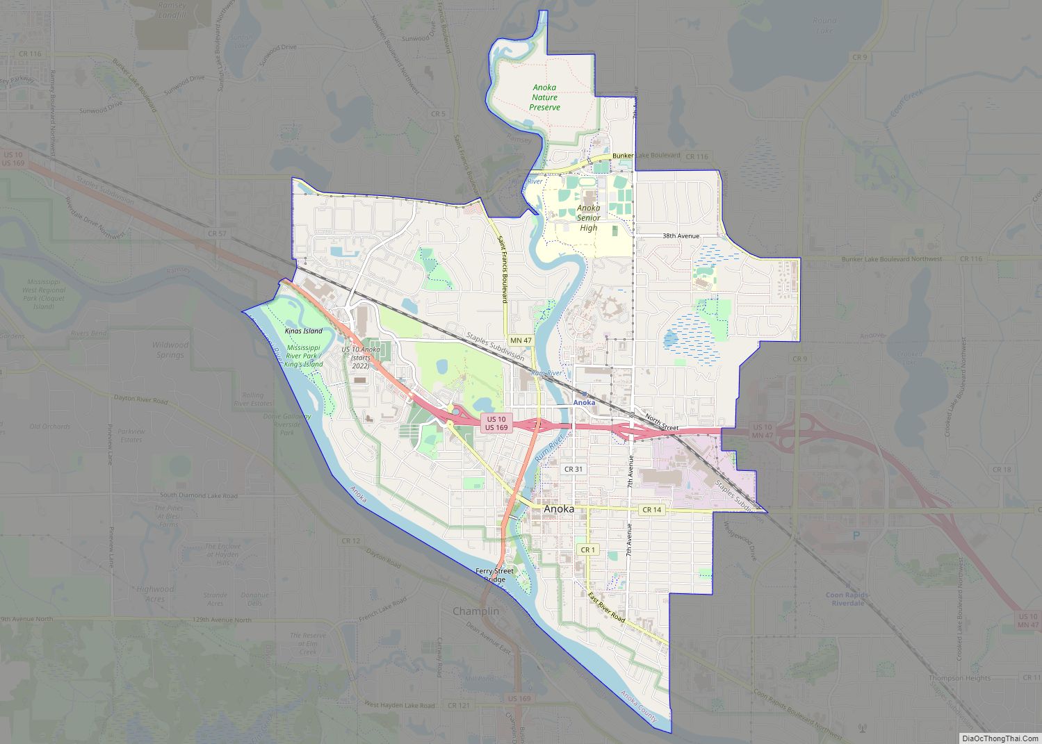
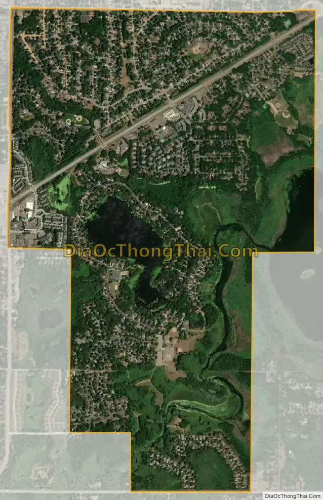
Circle Pines city Satellite Map
Geography
According to the United States Census Bureau, the city has a total area of 1.97 square miles (5.10 km), of which 1.78 square miles (4.61 km) is land and 0.19 square miles (0.49 km) is water.
Lake Drive / County 23 serves as a main route in the community. Interstate 35W is in close proximity to the city. Circle Pines is approximately 17 miles from the heart of the Minneapolis-Saint Paul metro area.
Rice Creek flows through the city.
See also
Map of Minnesota State and its subdivision:- Aitkin
- Anoka
- Becker
- Beltrami
- Benton
- Big Stone
- Blue Earth
- Brown
- Carlton
- Carver
- Cass
- Chippewa
- Chisago
- Clay
- Clearwater
- Cook
- Cottonwood
- Crow Wing
- Dakota
- Dodge
- Douglas
- Faribault
- Fillmore
- Freeborn
- Goodhue
- Grant
- Hennepin
- Houston
- Hubbard
- Isanti
- Itasca
- Jackson
- Kanabec
- Kandiyohi
- Kittson
- Koochiching
- Lac qui Parle
- Lake
- Lake of the Woods
- Lake Superior
- Le Sueur
- Lincoln
- Lyon
- Mahnomen
- Marshall
- Martin
- McLeod
- Meeker
- Mille Lacs
- Morrison
- Mower
- Murray
- Nicollet
- Nobles
- Norman
- Olmsted
- Otter Tail
- Pennington
- Pine
- Pipestone
- Polk
- Pope
- Ramsey
- Red Lake
- Redwood
- Renville
- Rice
- Rock
- Roseau
- Saint Louis
- Scott
- Sherburne
- Sibley
- Stearns
- Steele
- Stevens
- Swift
- Todd
- Traverse
- Wabasha
- Wadena
- Waseca
- Washington
- Watonwan
- Wilkin
- Winona
- Wright
- Yellow Medicine
- Alabama
- Alaska
- Arizona
- Arkansas
- California
- Colorado
- Connecticut
- Delaware
- District of Columbia
- Florida
- Georgia
- Hawaii
- Idaho
- Illinois
- Indiana
- Iowa
- Kansas
- Kentucky
- Louisiana
- Maine
- Maryland
- Massachusetts
- Michigan
- Minnesota
- Mississippi
- Missouri
- Montana
- Nebraska
- Nevada
- New Hampshire
- New Jersey
- New Mexico
- New York
- North Carolina
- North Dakota
- Ohio
- Oklahoma
- Oregon
- Pennsylvania
- Rhode Island
- South Carolina
- South Dakota
- Tennessee
- Texas
- Utah
- Vermont
- Virginia
- Washington
- West Virginia
- Wisconsin
- Wyoming