Columbia Heights is a city in Anoka County, Minnesota, United States. The population was 19,496 at the 2010 census.
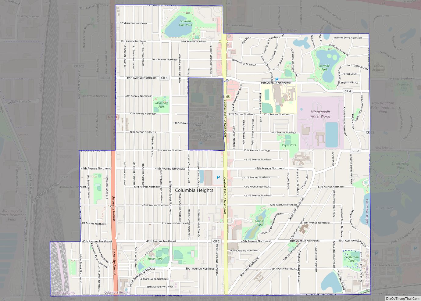
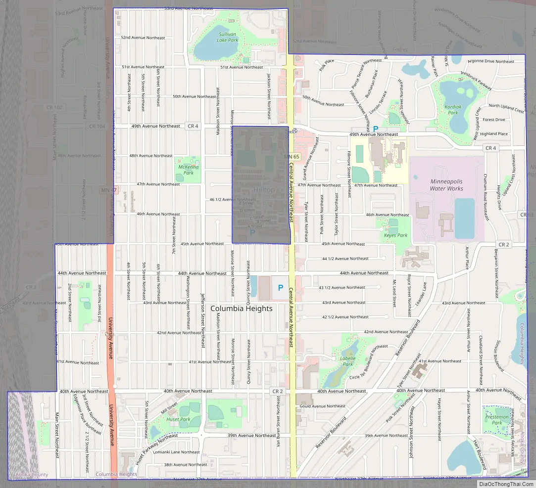
Minnesota State Highways 47 (University Avenue) and 65 (Central Avenue) are two of the main routes in the city.
Columbia Heights is a first-ring northern suburb of Minneapolis, which borders it on the south. Its downtown district is centered at the intersection of 40th Avenue NE and Central Avenue, and includes the Heights Theater, county offices, the Public Library, and a variety of businesses. Central Avenue forms a commercial district along its length. More businesses also line University Avenue.
| Name: | Columbia Heights city |
|---|---|
| LSAD Code: | 25 |
| LSAD Description: | city (suffix) |
| State: | Minnesota |
| County: | Anoka County |
| Elevation: | 912 ft (278 m) |
| Total Area: | 3.52 sq mi (9.11 km²) |
| Land Area: | 3.41 sq mi (8.83 km²) |
| Water Area: | 0.11 sq mi (0.28 km²) 3.13% |
| Total Population: | 21,973 |
| Population Density: | 6,447.48/sq mi (2,489.55/km²) |
| ZIP code: | 55421 |
| Area code: | 763 |
| FIPS code: | 2712700 |
| GNISfeature ID: | 2393607 |
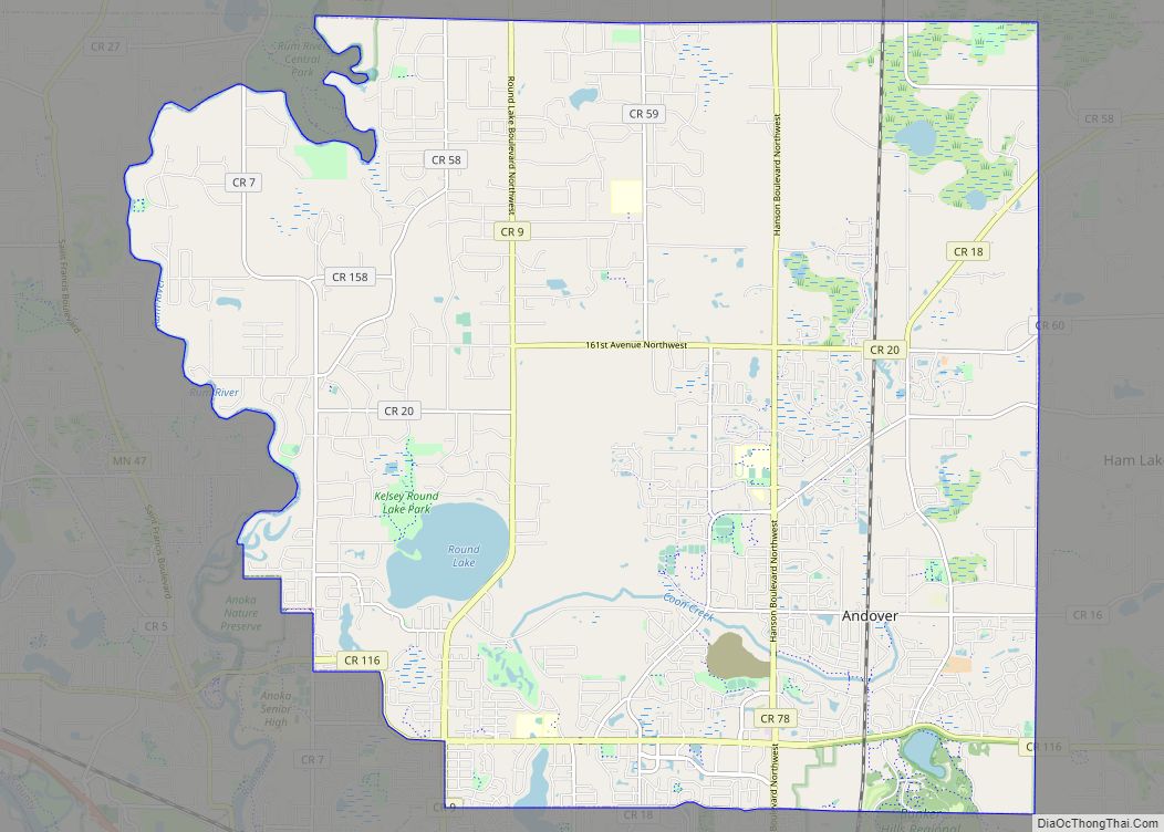
Online Interactive Map
Click on ![]() to view map in "full screen" mode.
to view map in "full screen" mode.
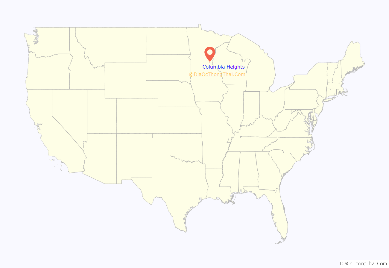
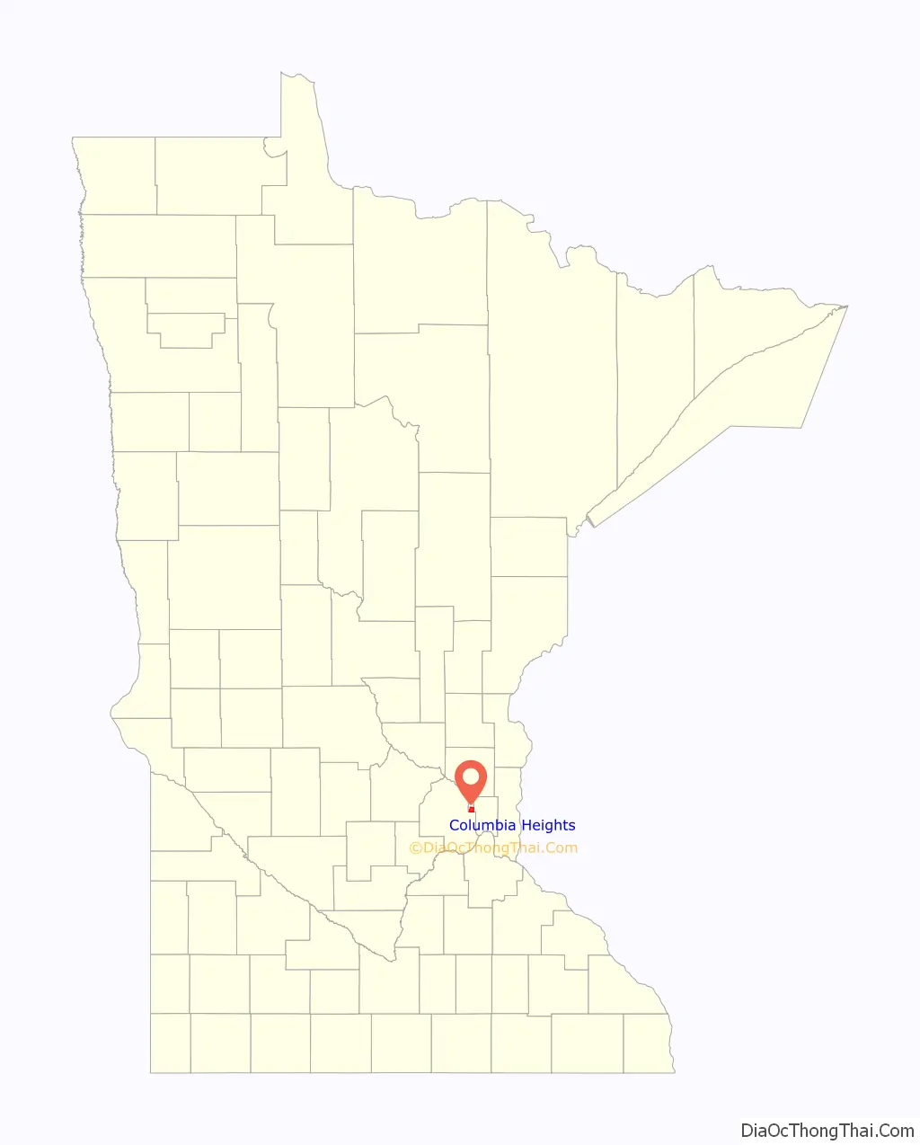
Columbia Heights location map. Where is Columbia Heights city?
History
Columbia Heights was formed as a village on March 14, 1898, when it separated from the former Fridley Township. On July 21, 1921, the Charter of the City of Columbia Heights was adopted and the city was formed.
A Polish flag and white eagle are on the sign marking the border between Columbia Heights and Minneapolis, visible when entering Columbia Heights on Central Avenue, in celebration of the suburb’s early roots as a Polish–American community. In 1991, Columbia Heights joined Sister Cities International and selected Łomianki, Poland as its Sister City. In 1944, a plane of Allied flyers was shot down during the Warsaw uprising, near Łomianki. The brother of a long time Columbia Heights resident was on that mission. In 1987, the people of Łomianki erected a monument in memory of the American flyers who lost their lives. Because of this personal connection Łomianki was selected as the Sister City.
Abraham Lincoln’s funeral car was bought by Thomas Lowry who restored it and featured it at a number of exhibitions throughout the country. When not in use, it was stored in Columbia Heights but was destroyed by a fire on March 18, 1911.
In 2016, Columbia Heights was honored with the All-American City Award according to the National Civic League.
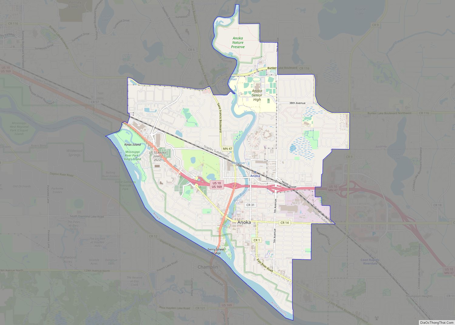
Columbia Heights Road Map
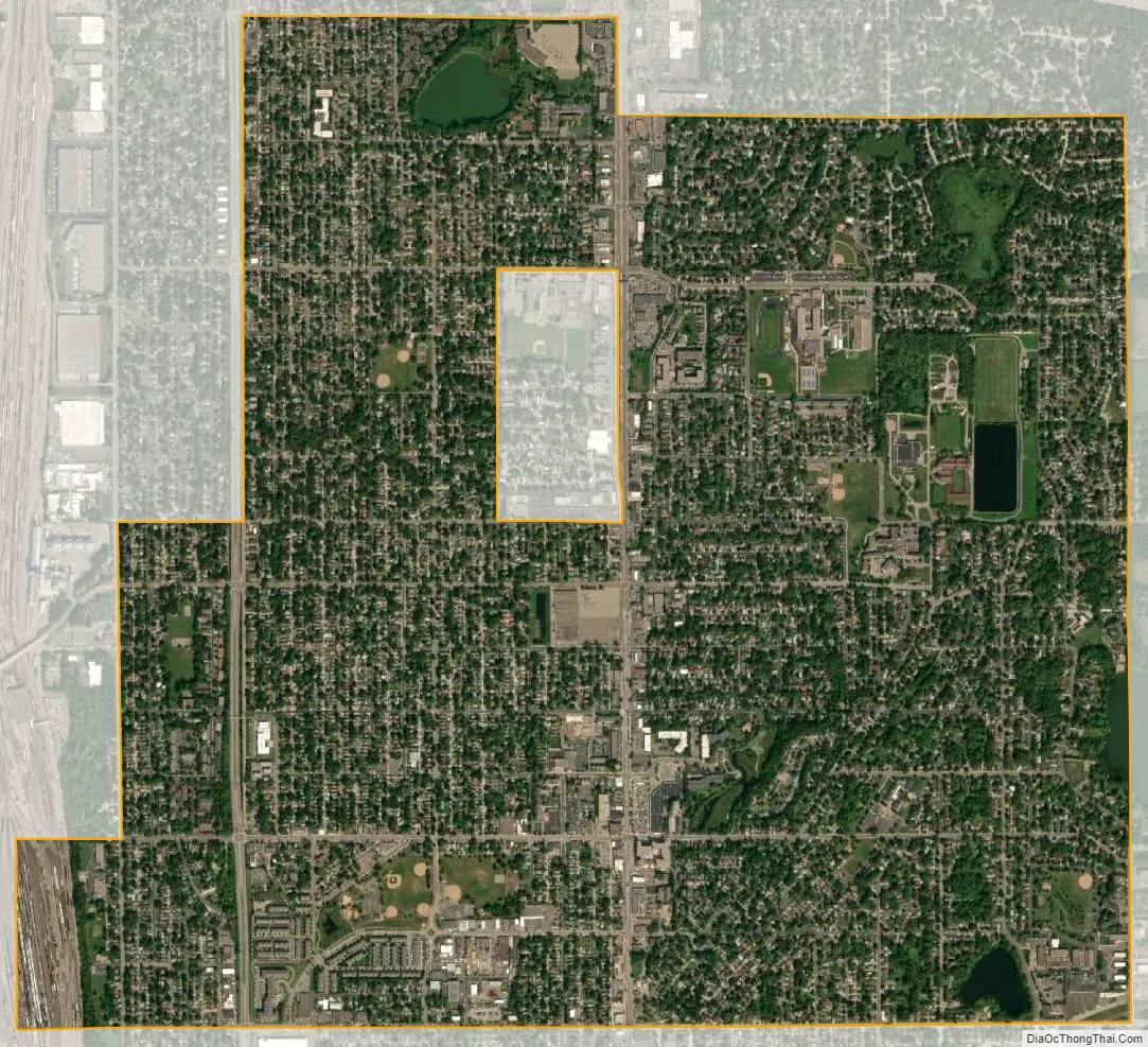
Columbia Heights city Satellite Map
Geography
According to the United States Census Bureau, the city has a total area of 3.52 square miles (9.12 km), of which 3.41 square miles (8.83 km) is land and 0.11 square miles (0.28 km) is water.
Columbia Heights is bordered by the city of Fridley to the north and west; New Brighton and Saint Anthony to the east; and Minneapolis to the south.
The city of Hilltop is entirely enclosed within the city.
Columbia Heights has a hilly terrain and features one of the highest points in Hennepin, Ramsey, and Anoka Counties along Stinson Boulevard between Fairway Drive and 45th Avenue NE/County Road E. There are five lakes in the city, which include Sullivan Lake, Highland Lake, Silver Lake, Hart Lake, and LaBelle Pond.
The city park system resides in mostly low lying and former swampland areas that was unsuitable for building. Huset Park is the main park in the city. Prestemon, Gauvitte and McKenna Parks were all named for members of the first city council in 1921. Ava Ostrander, first woman elected to the council in 1924, also has a park named for her. Kordiak Park is an Anoka County park in the city named after former County Commissioner Albert A. Kordiak. Other parks include Edgemoor, La Belle, Lomianki, Keyes, Sullivan, Ramsdell, and Hilltop.
See also
Map of Minnesota State and its subdivision:- Aitkin
- Anoka
- Becker
- Beltrami
- Benton
- Big Stone
- Blue Earth
- Brown
- Carlton
- Carver
- Cass
- Chippewa
- Chisago
- Clay
- Clearwater
- Cook
- Cottonwood
- Crow Wing
- Dakota
- Dodge
- Douglas
- Faribault
- Fillmore
- Freeborn
- Goodhue
- Grant
- Hennepin
- Houston
- Hubbard
- Isanti
- Itasca
- Jackson
- Kanabec
- Kandiyohi
- Kittson
- Koochiching
- Lac qui Parle
- Lake
- Lake of the Woods
- Lake Superior
- Le Sueur
- Lincoln
- Lyon
- Mahnomen
- Marshall
- Martin
- McLeod
- Meeker
- Mille Lacs
- Morrison
- Mower
- Murray
- Nicollet
- Nobles
- Norman
- Olmsted
- Otter Tail
- Pennington
- Pine
- Pipestone
- Polk
- Pope
- Ramsey
- Red Lake
- Redwood
- Renville
- Rice
- Rock
- Roseau
- Saint Louis
- Scott
- Sherburne
- Sibley
- Stearns
- Steele
- Stevens
- Swift
- Todd
- Traverse
- Wabasha
- Wadena
- Waseca
- Washington
- Watonwan
- Wilkin
- Winona
- Wright
- Yellow Medicine
- Alabama
- Alaska
- Arizona
- Arkansas
- California
- Colorado
- Connecticut
- Delaware
- District of Columbia
- Florida
- Georgia
- Hawaii
- Idaho
- Illinois
- Indiana
- Iowa
- Kansas
- Kentucky
- Louisiana
- Maine
- Maryland
- Massachusetts
- Michigan
- Minnesota
- Mississippi
- Missouri
- Montana
- Nebraska
- Nevada
- New Hampshire
- New Jersey
- New Mexico
- New York
- North Carolina
- North Dakota
- Ohio
- Oklahoma
- Oregon
- Pennsylvania
- Rhode Island
- South Carolina
- South Dakota
- Tennessee
- Texas
- Utah
- Vermont
- Virginia
- Washington
- West Virginia
- Wisconsin
- Wyoming