East Bethel is a city in Anoka County, Minnesota, United States. The population was 11,786 at the 2020 census.
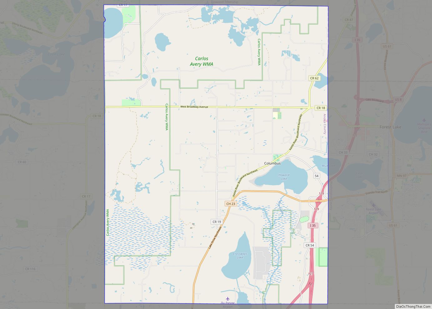
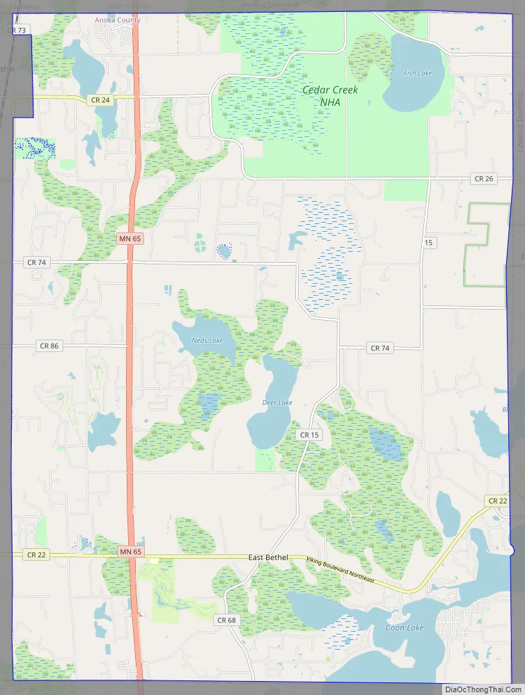
Minnesota State Highway 65 and Anoka County Road 22 are the main routes in the city. Highway 65 runs north–south, and County Road 22 (Viking Boulevard) runs east–west.
| Name: | East Bethel city |
|---|---|
| LSAD Code: | 25 |
| LSAD Description: | city (suffix) |
| State: | Minnesota |
| County: | Anoka County |
| Elevation: | 909 ft (277 m) |
| Total Area: | 47.69 sq mi (123.52 km²) |
| Land Area: | 44.58 sq mi (115.46 km²) |
| Water Area: | 3.11 sq mi (8.06 km²) |
| Total Population: | 11,786 |
| Population Density: | 264.38/sq mi (102.08/km²) |
| ZIP code: | 55005, 55011, 55092 |
| Area code: | 763 |
| FIPS code: | 2717486 |
| GNISfeature ID: | 2394596 |
| Website: | www.ci.east-bethel.mn.us |
Online Interactive Map
Click on ![]() to view map in "full screen" mode.
to view map in "full screen" mode.
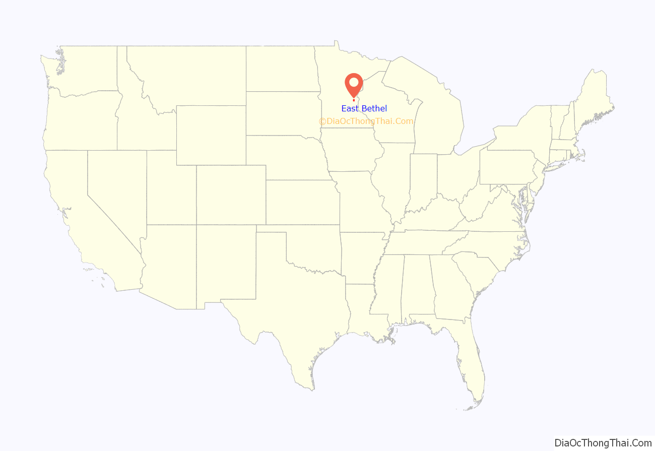
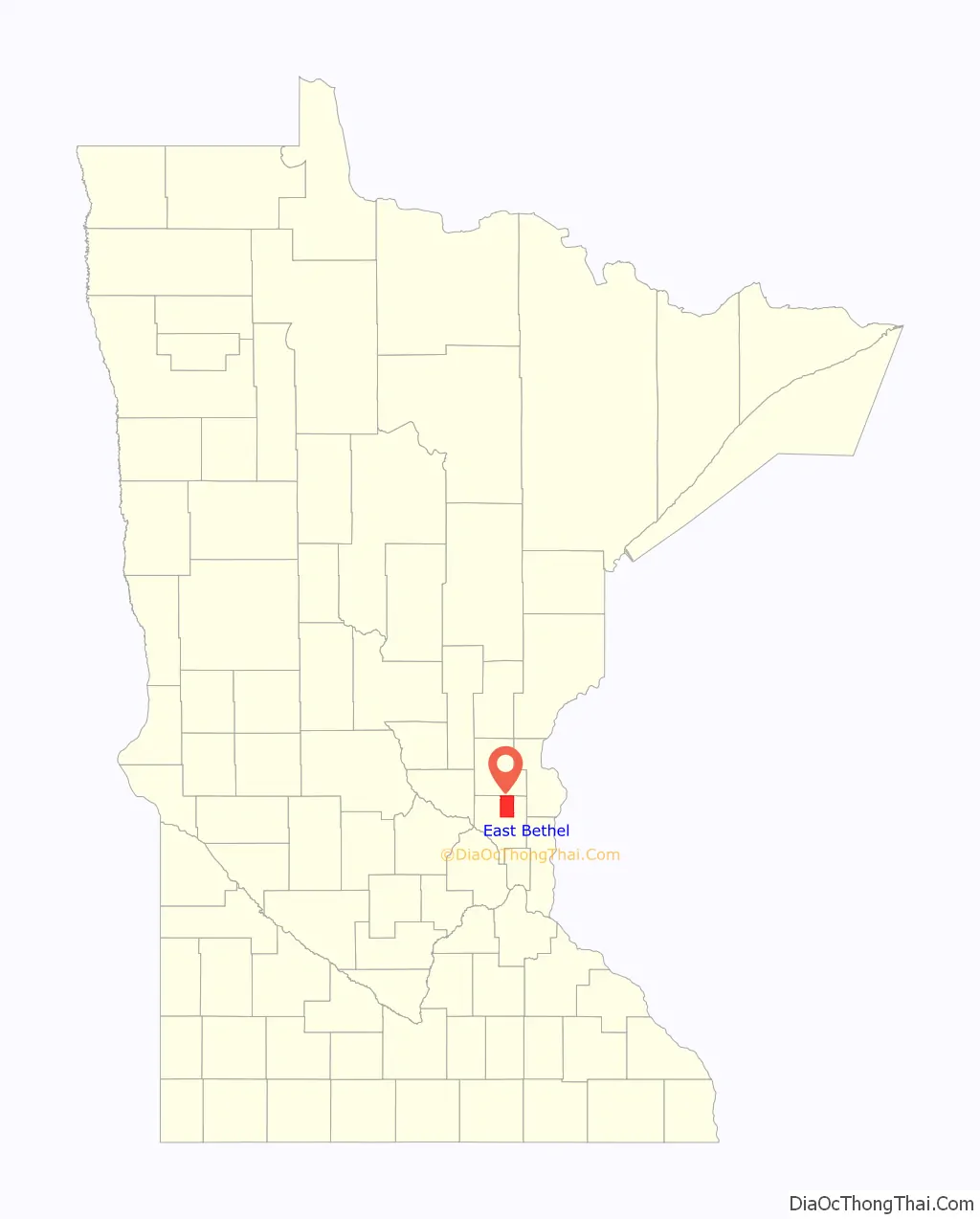
East Bethel location map. Where is East Bethel city?
History
Linwood Township split from Bethel Township in 1871.
East Bethel was incorporated as a village on June 7, 1957, and was incorporated as the city of East Bethel on January 1, 1974.
East Bethel Road Map
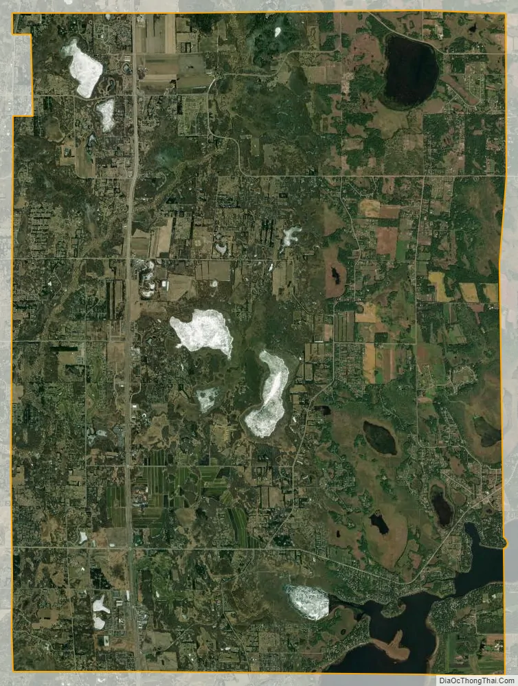
East Bethel city Satellite Map
Geography
According to the United States Census Bureau, the city has an area of 47.97 square miles (124.24 km), of which 44.80 square miles (116.03 km) is land and 3.17 square miles (8.21 km) is water.
East Bethel is in the northern part of Anoka County. The city contains the primary site of the Cedar Creek Ecosystem Science Reserve
Central Minneapolis is 26 miles (42 km) to the southeast, along the Mississippi River, with the nearest international airport at Minneapolis–Saint Paul, 34 miles (52 km) southeast.
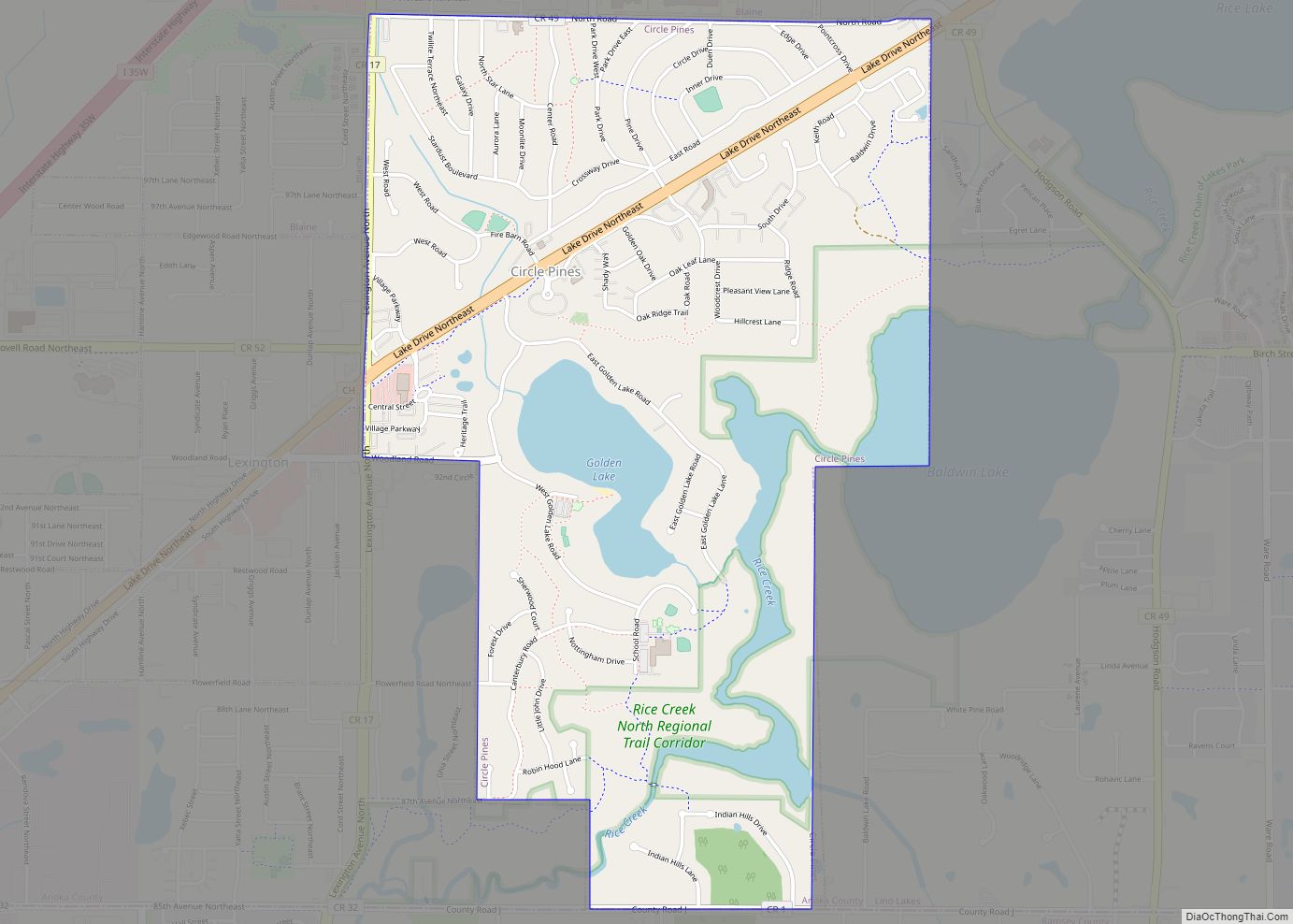
Adjacent cities
- Columbus (southeast)
- Ham Lake (south)
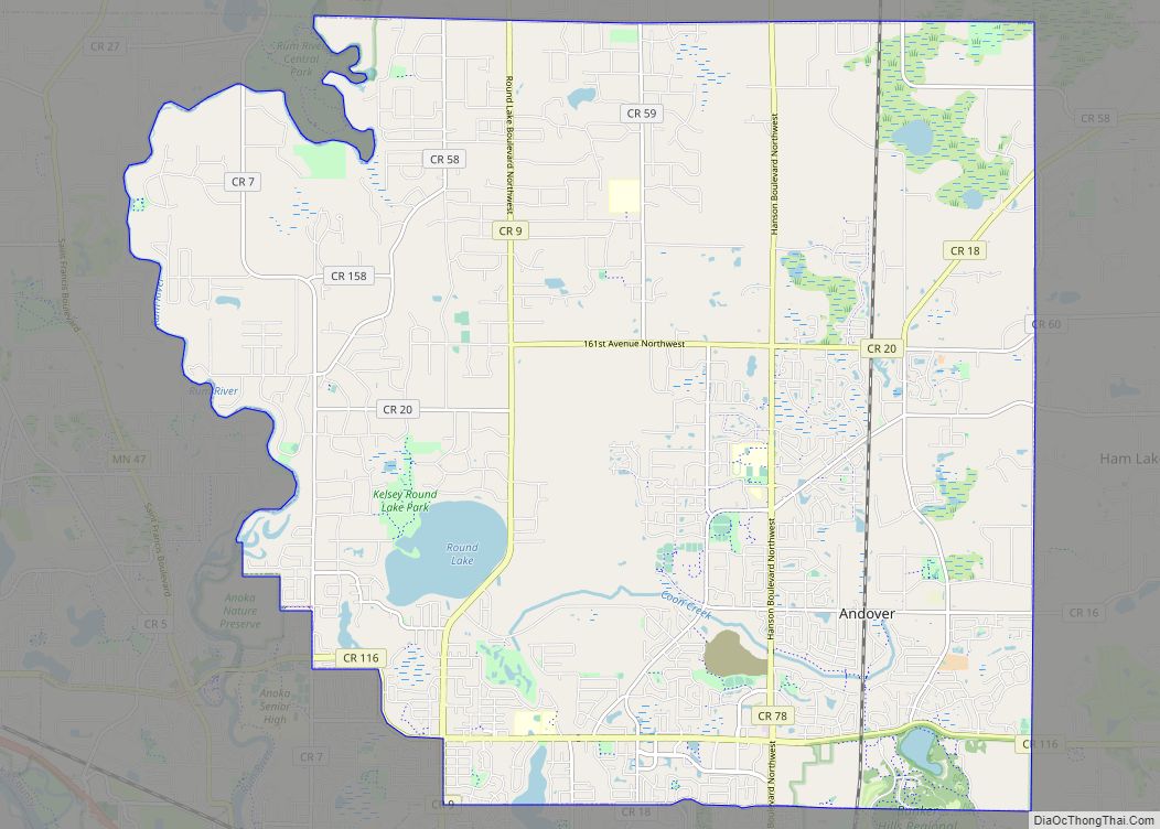
- Andover (southwest)
- Oak Grove (west)
- St. Francis (northwest)
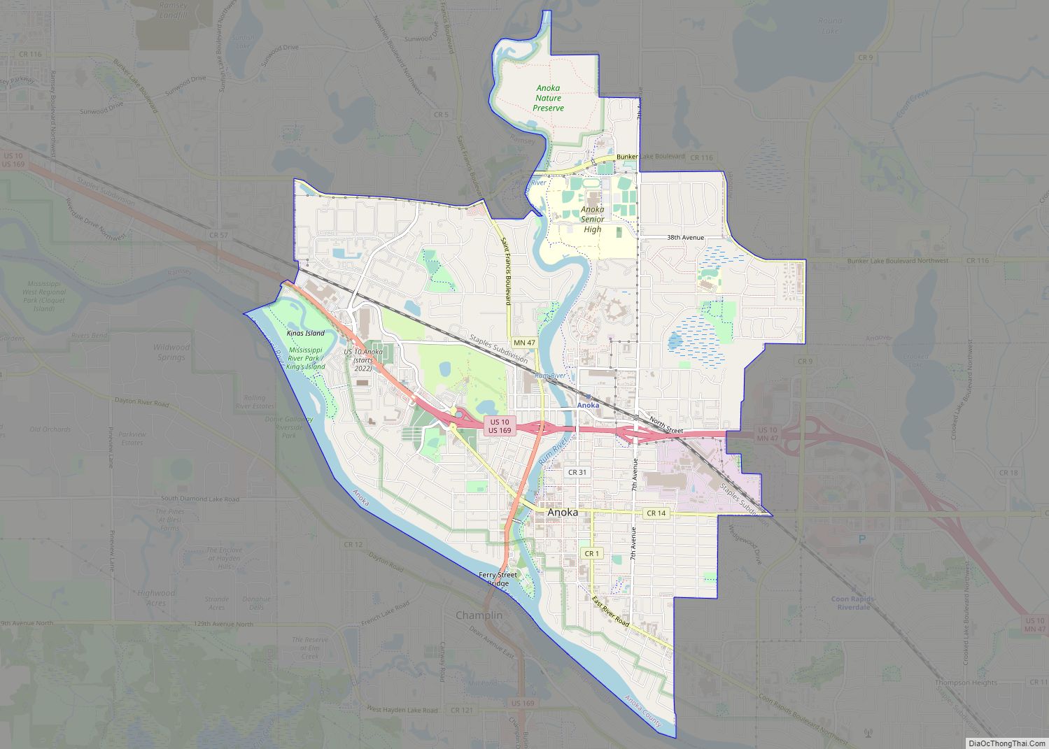
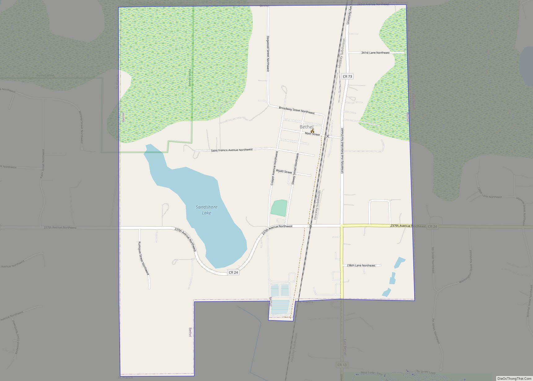
- Bethel (northwest)
The neighborhood of Coopers Corner is in northern East Bethel, and the neighborhood of Coon Lake Beach is in southeastern East Bethel.
See also
Map of Minnesota State and its subdivision:- Aitkin
- Anoka
- Becker
- Beltrami
- Benton
- Big Stone
- Blue Earth
- Brown
- Carlton
- Carver
- Cass
- Chippewa
- Chisago
- Clay
- Clearwater
- Cook
- Cottonwood
- Crow Wing
- Dakota
- Dodge
- Douglas
- Faribault
- Fillmore
- Freeborn
- Goodhue
- Grant
- Hennepin
- Houston
- Hubbard
- Isanti
- Itasca
- Jackson
- Kanabec
- Kandiyohi
- Kittson
- Koochiching
- Lac qui Parle
- Lake
- Lake of the Woods
- Lake Superior
- Le Sueur
- Lincoln
- Lyon
- Mahnomen
- Marshall
- Martin
- McLeod
- Meeker
- Mille Lacs
- Morrison
- Mower
- Murray
- Nicollet
- Nobles
- Norman
- Olmsted
- Otter Tail
- Pennington
- Pine
- Pipestone
- Polk
- Pope
- Ramsey
- Red Lake
- Redwood
- Renville
- Rice
- Rock
- Roseau
- Saint Louis
- Scott
- Sherburne
- Sibley
- Stearns
- Steele
- Stevens
- Swift
- Todd
- Traverse
- Wabasha
- Wadena
- Waseca
- Washington
- Watonwan
- Wilkin
- Winona
- Wright
- Yellow Medicine
- Alabama
- Alaska
- Arizona
- Arkansas
- California
- Colorado
- Connecticut
- Delaware
- District of Columbia
- Florida
- Georgia
- Hawaii
- Idaho
- Illinois
- Indiana
- Iowa
- Kansas
- Kentucky
- Louisiana
- Maine
- Maryland
- Massachusetts
- Michigan
- Minnesota
- Mississippi
- Missouri
- Montana
- Nebraska
- Nevada
- New Hampshire
- New Jersey
- New Mexico
- New York
- North Carolina
- North Dakota
- Ohio
- Oklahoma
- Oregon
- Pennsylvania
- Rhode Island
- South Carolina
- South Dakota
- Tennessee
- Texas
- Utah
- Vermont
- Virginia
- Washington
- West Virginia
- Wisconsin
- Wyoming