Maple Grove is a suburban city in Hennepin County, Minnesota, United States. The population was 70,253 at the 2020 census. making it Minnesota’s 11th most populous city.
Maple Grove serves as a retail, cultural and medical center in the northwest region of the Minneapolis–Saint Paul metropolitan area. One of the Twin Cities’ largest shopping centers, The Shoppes at Arbor Lakes, is in Maple Grove. Maple Grove is also home to the Hindu Temple of Minnesota, the state’s largest Hindu temple.
| Name: | Maple Grove city |
|---|---|
| LSAD Code: | 25 |
| LSAD Description: | city (suffix) |
| State: | Minnesota |
| County: | Hennepin County |
| Founded: | 1858 |
| Incorporated: | 1954 |
| Elevation: | 935 ft (285 m) |
| Land Area: | 32.57 sq mi (84.36 km²) |
| Water Area: | 2.48 sq mi (6.41 km²) |
| Population Density: | 2,156.79/sq mi (832.75/km²) |
| ZIP code: | 55311, 55369 |
| Area code: | 763 |
| FIPS code: | 2740166 |
| GNISfeature ID: | 0647465 |
| Website: | maplegrovemn.gov |
Online Interactive Map
Click on ![]() to view map in "full screen" mode.
to view map in "full screen" mode.
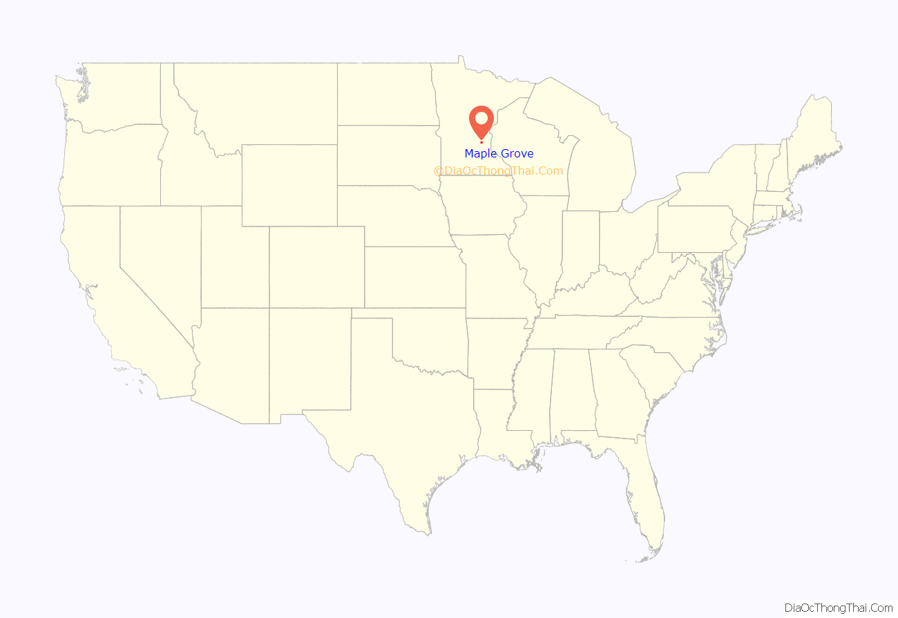
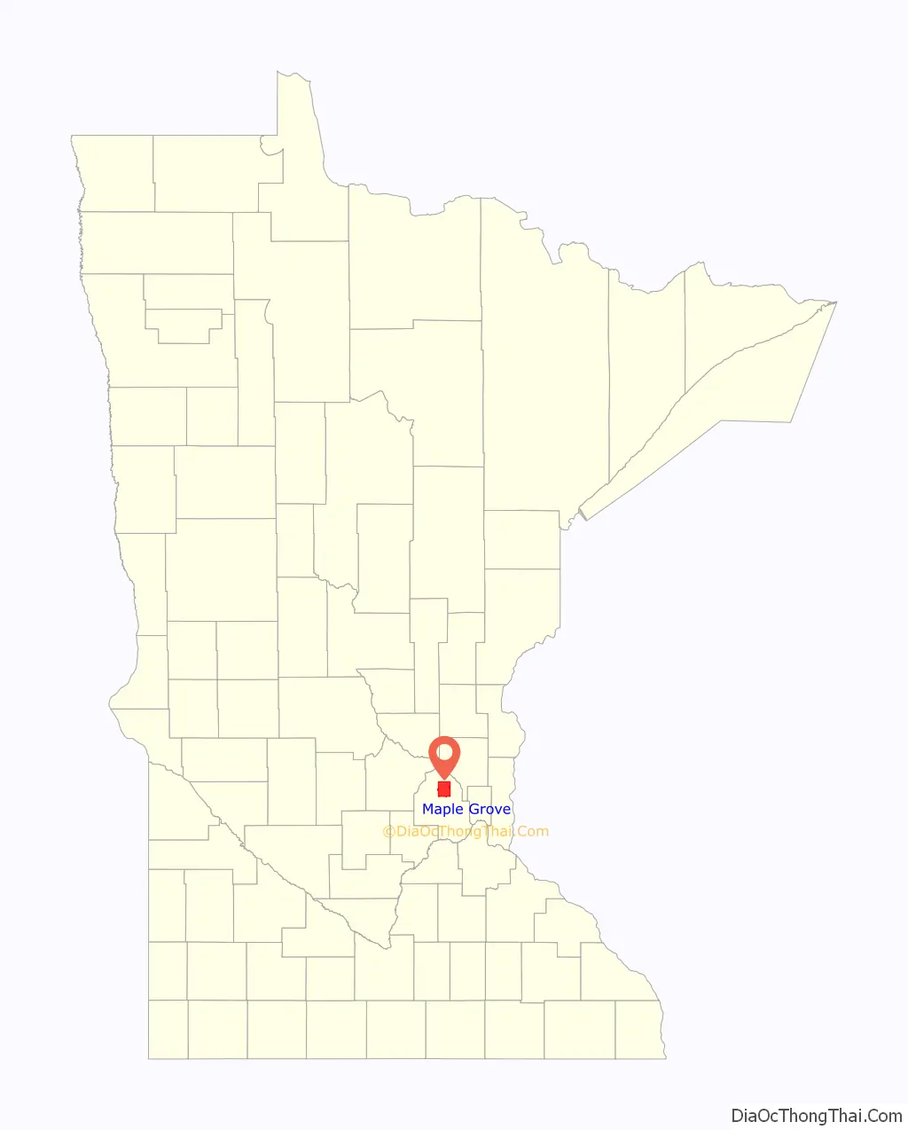
Maple Grove location map. Where is Maple Grove city?
History
Winnebago were the only inhabitants in the Maple Grove area until 1851, when Louis Gervais arrived and settled. Four years later, city growth included a church, town hall, and many homes. The Pierre Bottineau House was the first wood-frame house built in Maple Grove Township, in 1854. The house has been moved from its original location and is now in the Elm Creek Park Reserve. The city was known for its large stands of maple trees and was a significant source of maple syrup.
With the completion and major upgrades to Interstates 94 / 694, 494, and U.S. Highway 169, Maple Grove has grown at a rapid pace since the 1970s. It is one of the most populous cities in the Twin Cities area and one of the fastest-growing cities in the state. Maple Grove was also named the second-best place to live in 2014 by Money magazine.
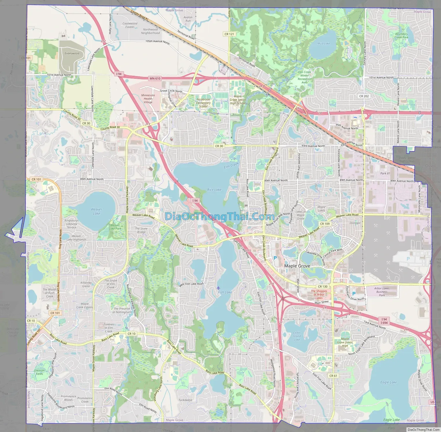
Maple Grove Road Map
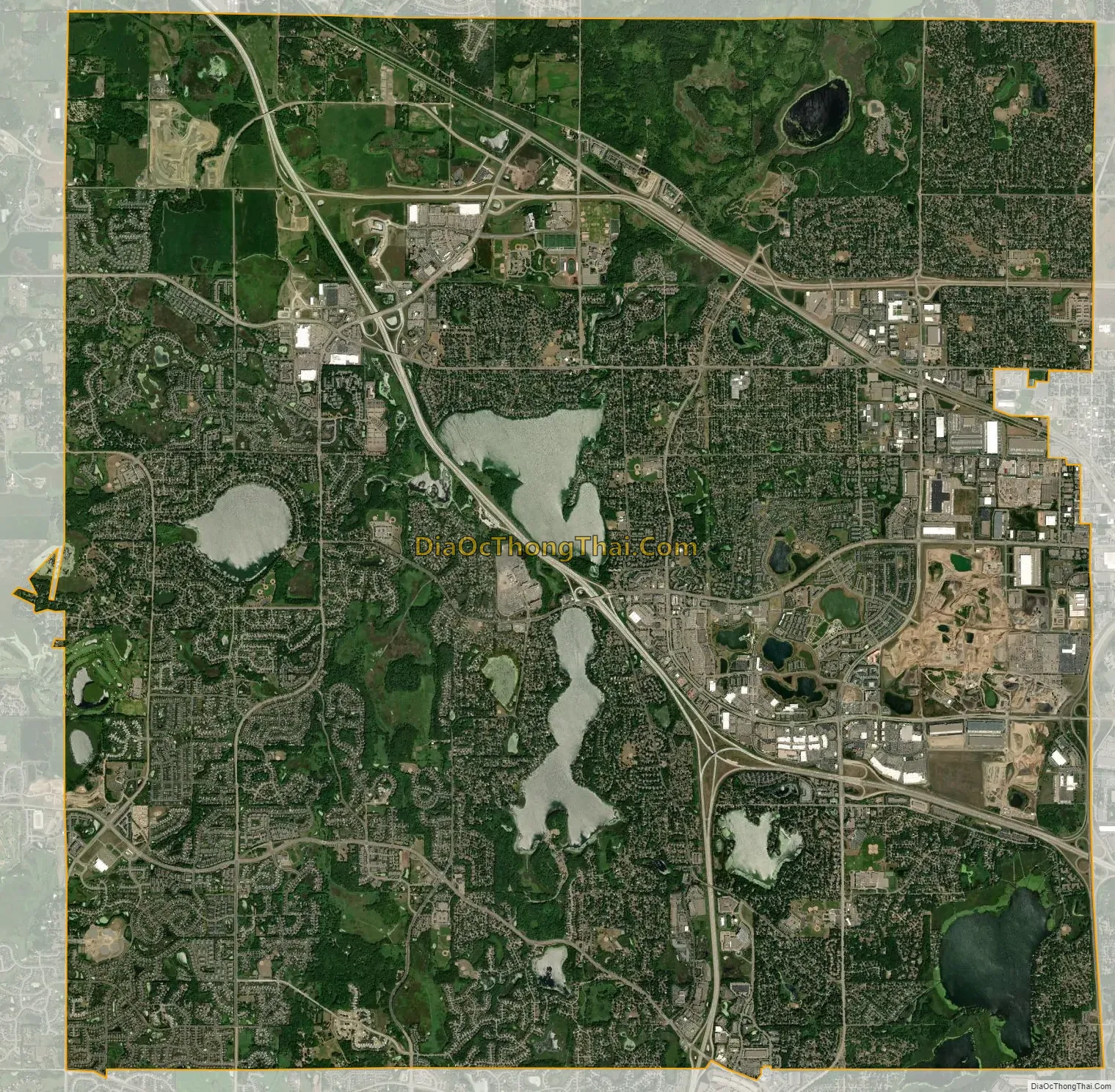
Maple Grove city Satellite Map
Geography
According to the United States Census Bureau, the city has an area of 35.03 square miles (90.73 km), of which 32.64 square miles (84.54 km) is land and 2.39 square miles (6.19 km) is water.
There are 13 named lakes in the city: Arbor Lake, Cedar Island Lake, Cook Lake, Eagle Lake, Edward Lake, Fish Lake, North Arbor Lake, Mud Lake, Pike Lake, Rice Lake including its Outlet and West Bay, Teal Lake, Weaver Lake, and West Arbor Lake.
Maple Grove directly borders six other cities: Dayton, Champlin, Brooklyn Park, Osseo, Plymouth, and Corcoran. It is also near Medina, Rogers, New Hope, and Minneapolis.
Many major highways pass through the city. Interstate 94 intersects with Interstate 494 and Interstate 694 at the Fish Lake split. U.S. Route 169 runs north-south along the eastern border of the city with Brooklyn Park. Minnesota State Highway 610 runs east-west in the northern portion of the city. Hennepin County maintains most of city’s large thoroughfares, including County Road 10 (Bass Lake Road), County Road 30, County Road 61 (Hemlock Lane), County Road 81, County Road 101, County Road 109 (Weaver Lake Road), County Road 121 (Fernbrook Lane), and County Road 130 (Elm Creek Boulevard).
See also
Map of Minnesota State and its subdivision:- Aitkin
- Anoka
- Becker
- Beltrami
- Benton
- Big Stone
- Blue Earth
- Brown
- Carlton
- Carver
- Cass
- Chippewa
- Chisago
- Clay
- Clearwater
- Cook
- Cottonwood
- Crow Wing
- Dakota
- Dodge
- Douglas
- Faribault
- Fillmore
- Freeborn
- Goodhue
- Grant
- Hennepin
- Houston
- Hubbard
- Isanti
- Itasca
- Jackson
- Kanabec
- Kandiyohi
- Kittson
- Koochiching
- Lac qui Parle
- Lake
- Lake of the Woods
- Lake Superior
- Le Sueur
- Lincoln
- Lyon
- Mahnomen
- Marshall
- Martin
- McLeod
- Meeker
- Mille Lacs
- Morrison
- Mower
- Murray
- Nicollet
- Nobles
- Norman
- Olmsted
- Otter Tail
- Pennington
- Pine
- Pipestone
- Polk
- Pope
- Ramsey
- Red Lake
- Redwood
- Renville
- Rice
- Rock
- Roseau
- Saint Louis
- Scott
- Sherburne
- Sibley
- Stearns
- Steele
- Stevens
- Swift
- Todd
- Traverse
- Wabasha
- Wadena
- Waseca
- Washington
- Watonwan
- Wilkin
- Winona
- Wright
- Yellow Medicine
- Alabama
- Alaska
- Arizona
- Arkansas
- California
- Colorado
- Connecticut
- Delaware
- District of Columbia
- Florida
- Georgia
- Hawaii
- Idaho
- Illinois
- Indiana
- Iowa
- Kansas
- Kentucky
- Louisiana
- Maine
- Maryland
- Massachusetts
- Michigan
- Minnesota
- Mississippi
- Missouri
- Montana
- Nebraska
- Nevada
- New Hampshire
- New Jersey
- New Mexico
- New York
- North Carolina
- North Dakota
- Ohio
- Oklahoma
- Oregon
- Pennsylvania
- Rhode Island
- South Carolina
- South Dakota
- Tennessee
- Texas
- Utah
- Vermont
- Virginia
- Washington
- West Virginia
- Wisconsin
- Wyoming


