Rogers is a city located in Hennepin County, Minnesota, United States. The population was 13,295 at the 2020 census. In 2012, the city the annexed the surrounding Hassan Township. The City of Rogers is considered a northwest suburb of the Minneapolis–Saint Paul metropolitan area. The city’s economy is mostly based on industrial activity and agriculture.
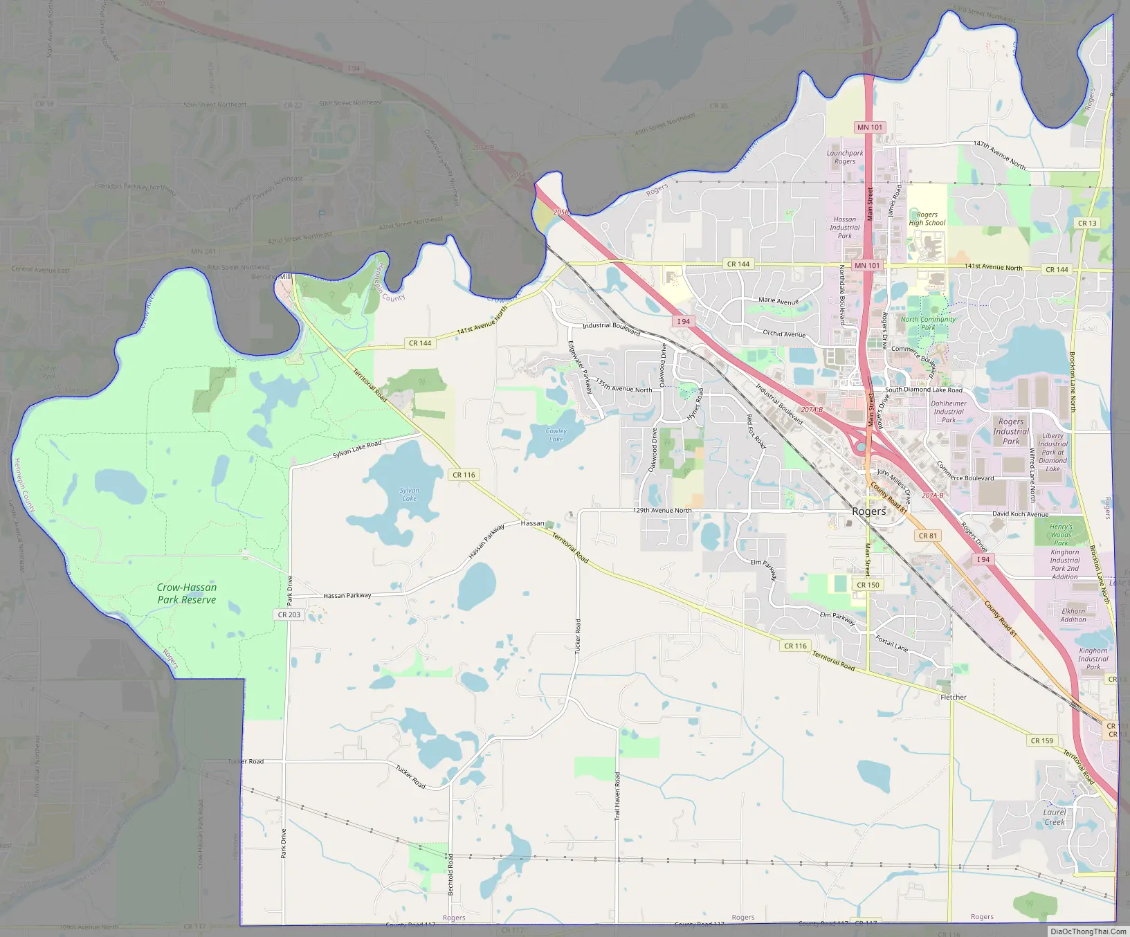
The city is located on either side of Interstate 94, with Minnesota State Highway 101 running north and its western boundary touches the Crow River.
| Name: | Rogers city |
|---|---|
| LSAD Code: | 25 |
| LSAD Description: | city (suffix) |
| State: | Minnesota |
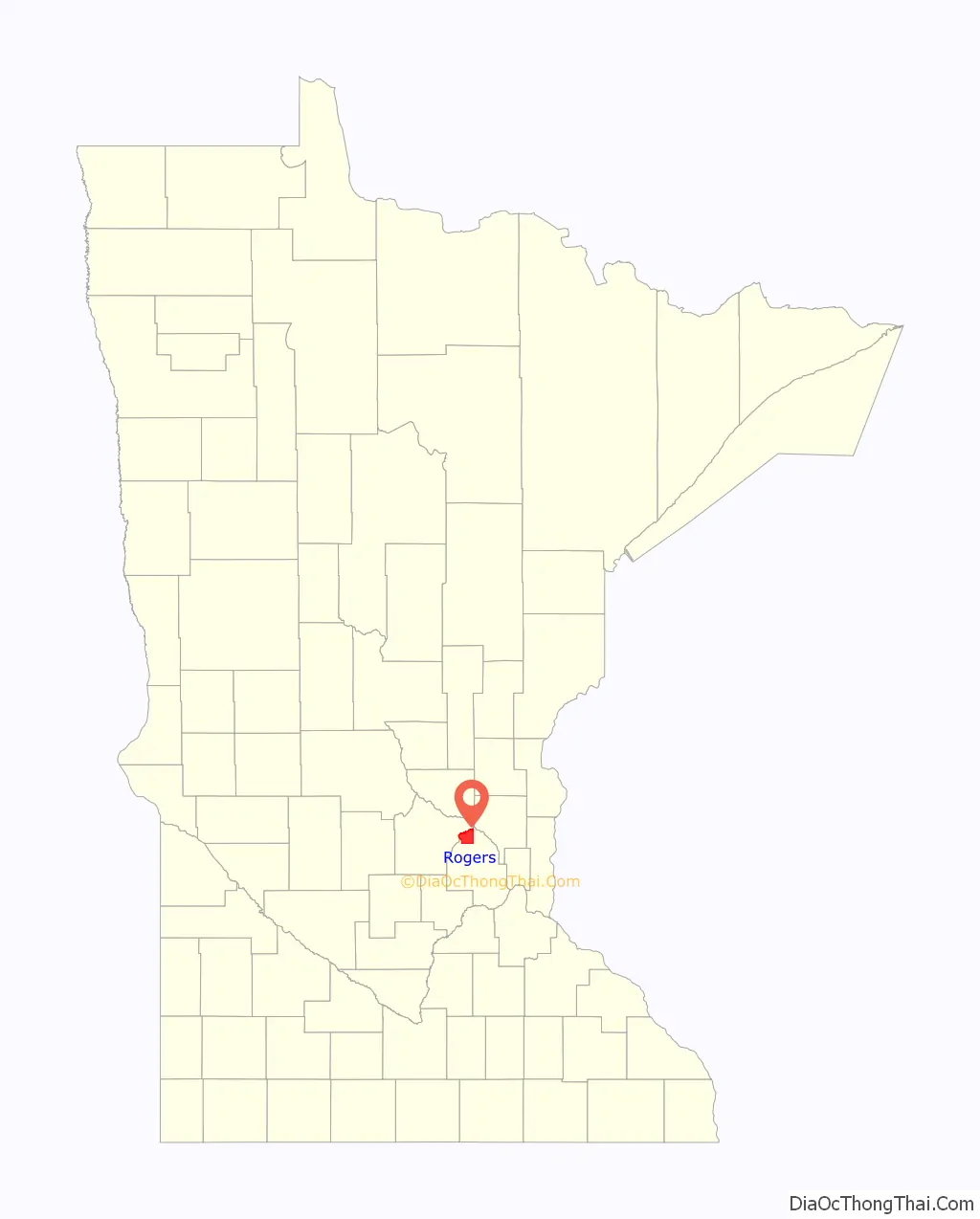
| County: | Hennepin County |
| Founded: | 1854 |
| Incorporated: | 1914 |
| Elevation: | 961 ft (293 m) |
| Land Area: | 25.41 sq mi (65.81 km²) |
| Water Area: | 0.85 sq mi (2.19 km²) |
| Population Density: | 523.24/sq mi (202.03/km²) |
| ZIP code: | 55374 |
| Area code: | 763 |
| FIPS code: | 2755186 |
| GNISfeature ID: | 0650221 |
| Website: | cityofrogers.org |
Online Interactive Map
Click on ![]() to view map in "full screen" mode.
to view map in "full screen" mode.
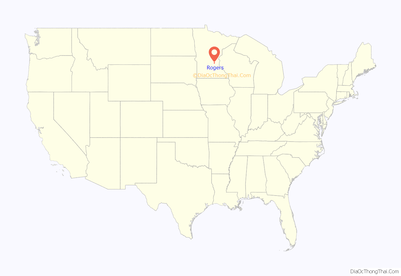
Rogers location map. Where is Rogers city?
History
In the 1880s, John Rogers sold an acre of his land, then part of Hassan Township, to Great Northern Railroad for a dollar. The new depot provided a convenient stop for the rich timber resources of the area, and served as the beginning ground of a new community. When St. Martin Catholic Church and school were added, Rogers grew in local importance, consequently causing new businesses to be built and the town to be regarded as more of a local hub than other nearby communities such as Fletcher. In 1914, the city was incorporated.
Throughout the years the town grew slowly until, in 1972, Interstate 94 was constructed. Running right through Rogers, the new freeway provided easy access to Minneapolis and Saint Paul, causing additional businesses such as Graco, CDI, Dept. 56 and Reinhart FoodService to add operations. The additional jobs created new population growth. As growth occurred, additional land was required, causing Rogers to annex more and more land from the surrounding Hassan Township. Hassan was completely annexed into Rogers on January 1, 2012.
Early founding families names still serve as key contributors to the community. Otto Scharber was a prominent local businessman, owning a grocery store, hardware store, and a John Deere implement dealership, which is still in family operation today.
Rogers Road Map
Rogers city Satellite Map

Geography
According to the United States Census Bureau, as of the 2010 Census, the city has a total area of 8.16 square miles (21.13 km), of which 8.05 square miles (20.85 km) is land and 0.11 square miles (0.28 km) is water.
Upon the 2012 annexation of Hassan Township, the total land area of the City grew to approximately 26 square miles.
See also
Map of Minnesota State and its subdivision:- Aitkin
- Anoka
- Becker
- Beltrami
- Benton
- Big Stone
- Blue Earth
- Brown
- Carlton
- Carver
- Cass
- Chippewa
- Chisago
- Clay
- Clearwater
- Cook
- Cottonwood
- Crow Wing
- Dakota
- Dodge
- Douglas
- Faribault
- Fillmore
- Freeborn
- Goodhue
- Grant
- Hennepin
- Houston
- Hubbard
- Isanti
- Itasca
- Jackson
- Kanabec
- Kandiyohi
- Kittson
- Koochiching
- Lac qui Parle
- Lake
- Lake of the Woods
- Lake Superior
- Le Sueur
- Lincoln
- Lyon
- Mahnomen
- Marshall
- Martin
- McLeod
- Meeker
- Mille Lacs
- Morrison
- Mower
- Murray
- Nicollet
- Nobles
- Norman
- Olmsted
- Otter Tail
- Pennington
- Pine
- Pipestone
- Polk
- Pope
- Ramsey
- Red Lake
- Redwood
- Renville
- Rice
- Rock
- Roseau
- Saint Louis
- Scott
- Sherburne
- Sibley
- Stearns
- Steele
- Stevens
- Swift
- Todd
- Traverse
- Wabasha
- Wadena
- Waseca
- Washington
- Watonwan
- Wilkin
- Winona
- Wright
- Yellow Medicine
- Alabama
- Alaska
- Arizona
- Arkansas
- California
- Colorado
- Connecticut
- Delaware
- District of Columbia
- Florida
- Georgia
- Hawaii
- Idaho
- Illinois
- Indiana
- Iowa
- Kansas
- Kentucky
- Louisiana
- Maine
- Maryland
- Massachusetts
- Michigan
- Minnesota
- Mississippi
- Missouri
- Montana
- Nebraska
- Nevada
- New Hampshire
- New Jersey
- New Mexico
- New York
- North Carolina
- North Dakota
- Ohio
- Oklahoma
- Oregon
- Pennsylvania
- Rhode Island
- South Carolina
- South Dakota
- Tennessee
- Texas
- Utah
- Vermont
- Virginia
- Washington
- West Virginia
- Wisconsin
- Wyoming


