North Oaks is an exurban city 10 miles (16 km) north of St. Paul in Ramsey County in the U.S. state of Minnesota. The population was 4,469 at the 2010 census.
Formerly a gated community that now posts private access signage, all land is owned by homeowners with the North Oaks Home Owners Association maintaining all roads, plowing, parks, facilities, and recreation trails. Each homeowner’s property extends halfway into the street. There is also a city government with a Mayor and City Council that administers basic services such as fire, police, planning, and licensing. The city owns no property.
| Name: | North Oaks city |
|---|---|
| LSAD Code: | 25 |
| LSAD Description: | city (suffix) |
| State: | Minnesota |
| County: | Ramsey County |
| Elevation: | 938 ft (286 m) |
| Total Area: | 8.62 sq mi (22.33 km²) |
| Land Area: | 6.91 sq mi (17.90 km²) |
| Water Area: | 1.71 sq mi (4.43 km²) |
| Total Population: | 5,272 |
| Population Density: | 762.95/sq mi (294.58/km²) |
| ZIP code: | 55126, 55127 |
| Area code: | 651 |
| FIPS code: | 2747104 |
| GNISfeature ID: | 0648674 |
Online Interactive Map
Click on ![]() to view map in "full screen" mode.
to view map in "full screen" mode.
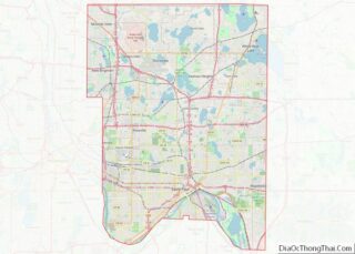
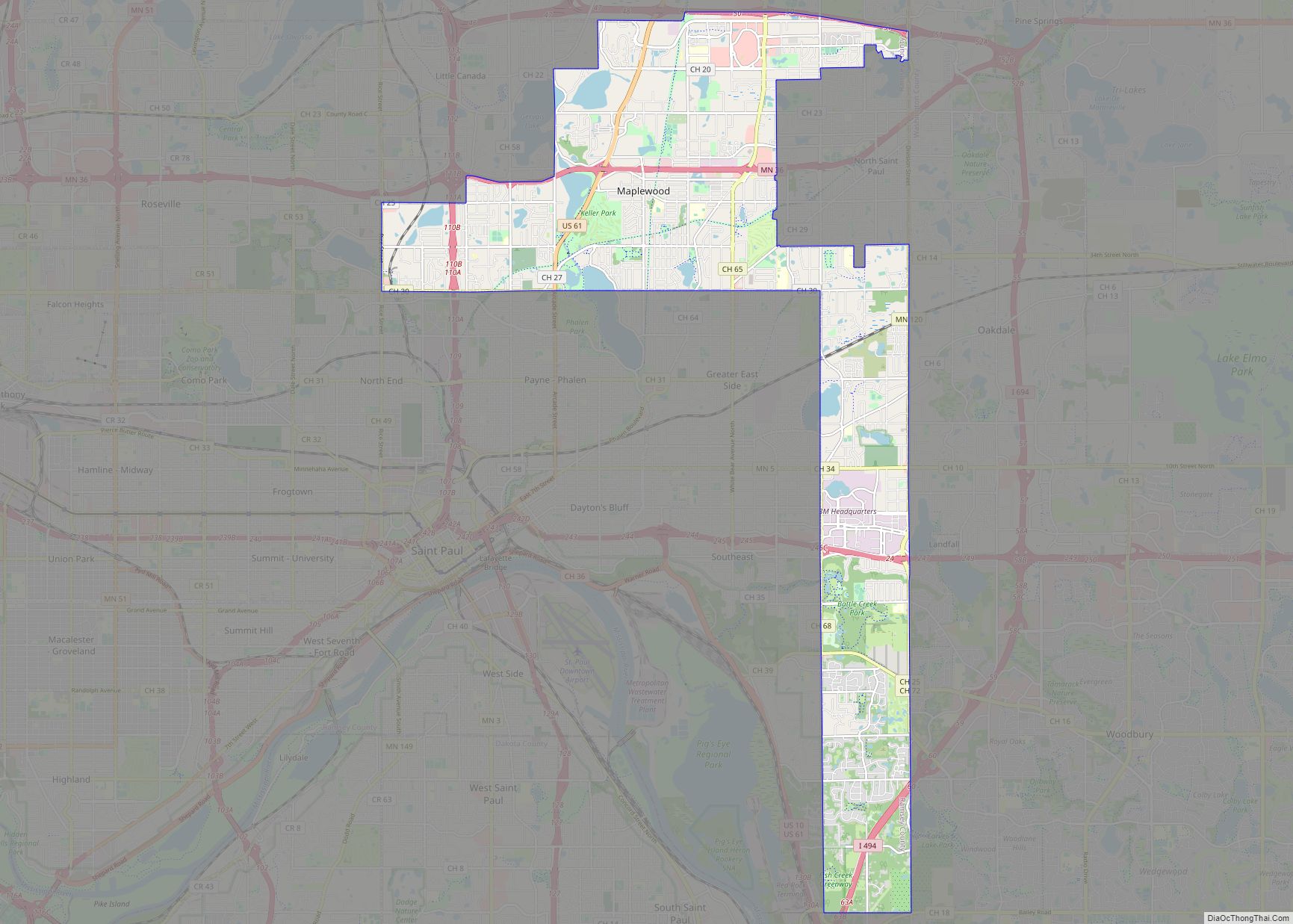
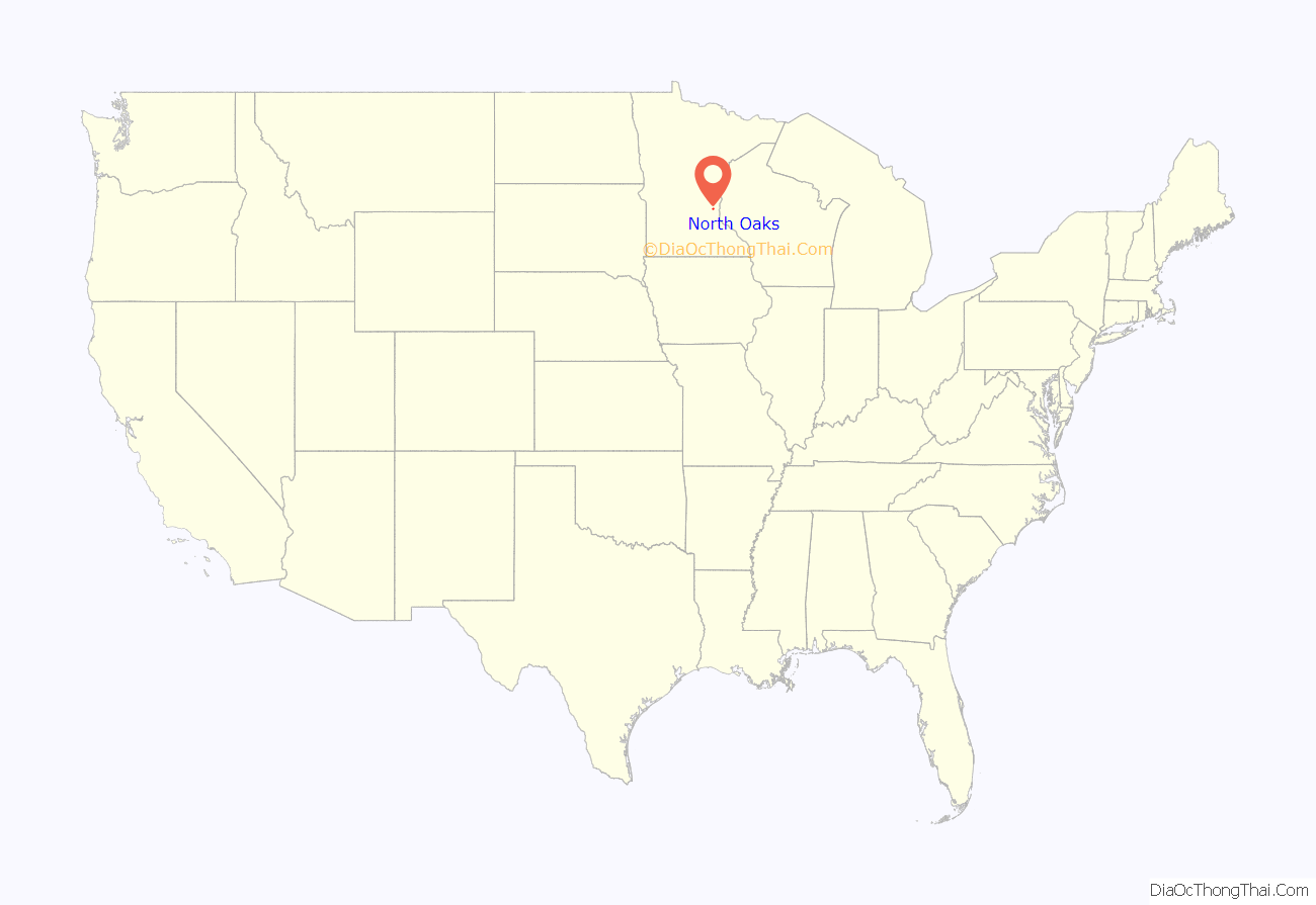
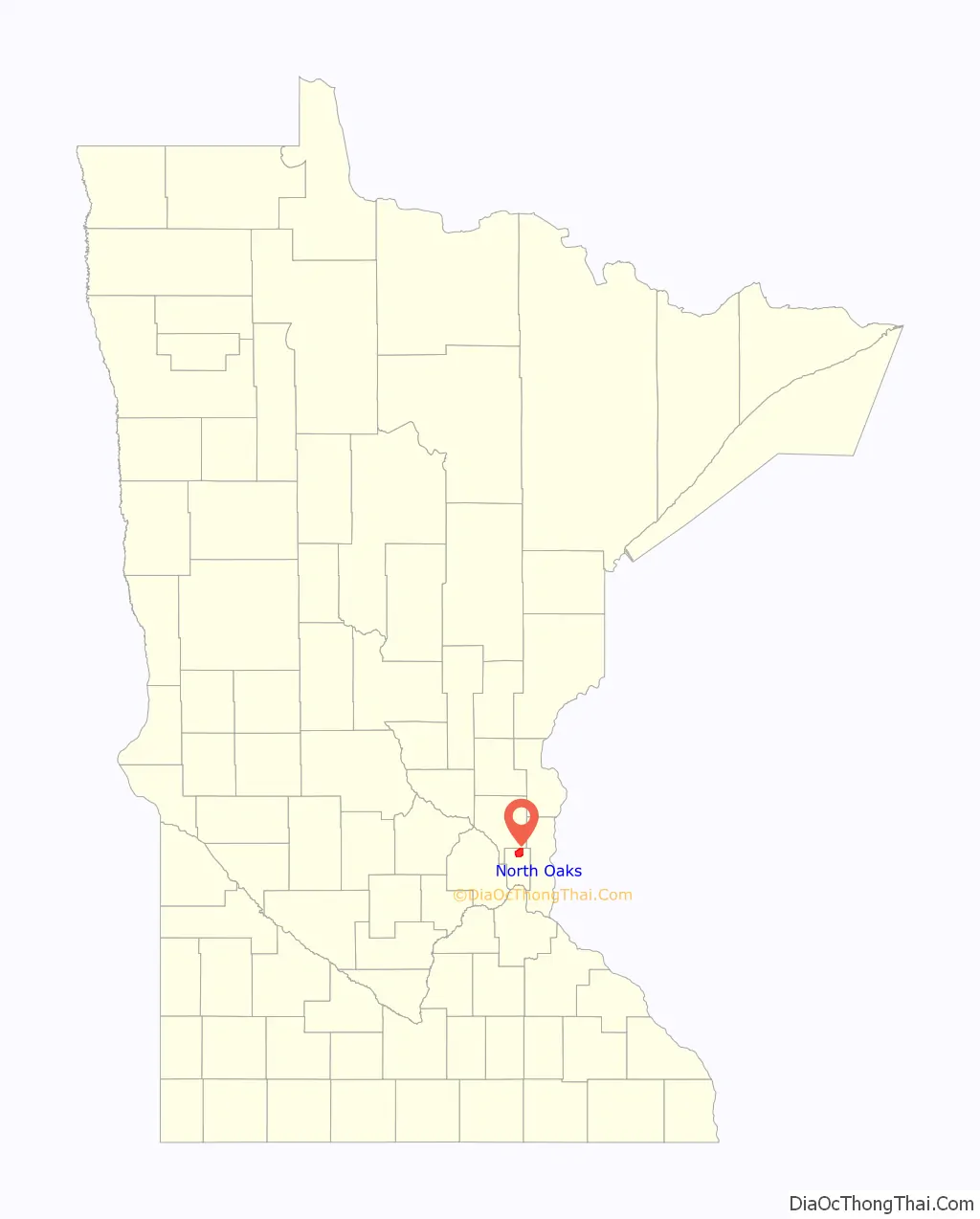
North Oaks location map. Where is North Oaks city?
History
Structured around Pleasant Lake, the area began as a water source for the Saint Paul municipal water system, which still maintains water access rights today. The land was later purchased by Saint Paul magnate James J. Hill in 1883 and expanded into a 5,000-acre (20 km) breeding and hobby farm.
His son Louis Hill later owned North Oaks Farm until death in 1950. Ownership passed to Louis’ children who decided to develop the land into a model residential community. They incorporated the North Oaks Company with a mission to build with respect for the natural environment, having witnessed metropolitan sprawl during this time. To ensure their mission would be fulfilled, land was subdivided and sold with a warranty deed that created the North Oaks Home Owners’ Association (NOHOA) to be responsible for roads and recreation. Each deed placed each home’s property line halfway into the street, placing all roads into private ownership.
Remaining land in the city is owned by the North Oaks Company. The original farm buildings have been restored with informational displays. They are not open to the public however as North Oaks is private. Two of the remaining structures, the Blacksmith Shop and Machine Shop and Dairy Building, are listed on the National Register of Historic Places.
In May 2008, NOHOA sent a letter to internet search company Google, stating that its Street View software contained images that violated their trespassing ordinance, and requested their removal. Google complied, so there is no street view available for the roads within North Oaks.
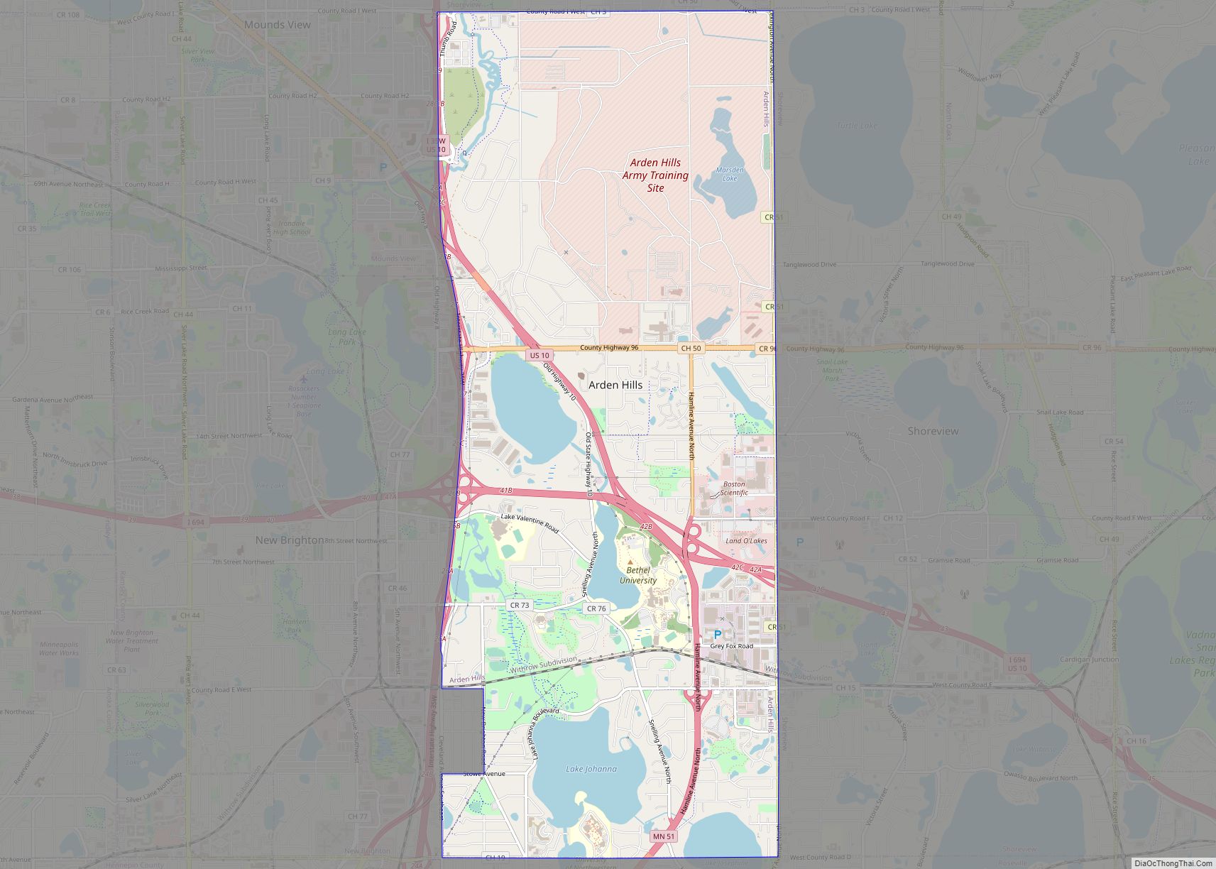
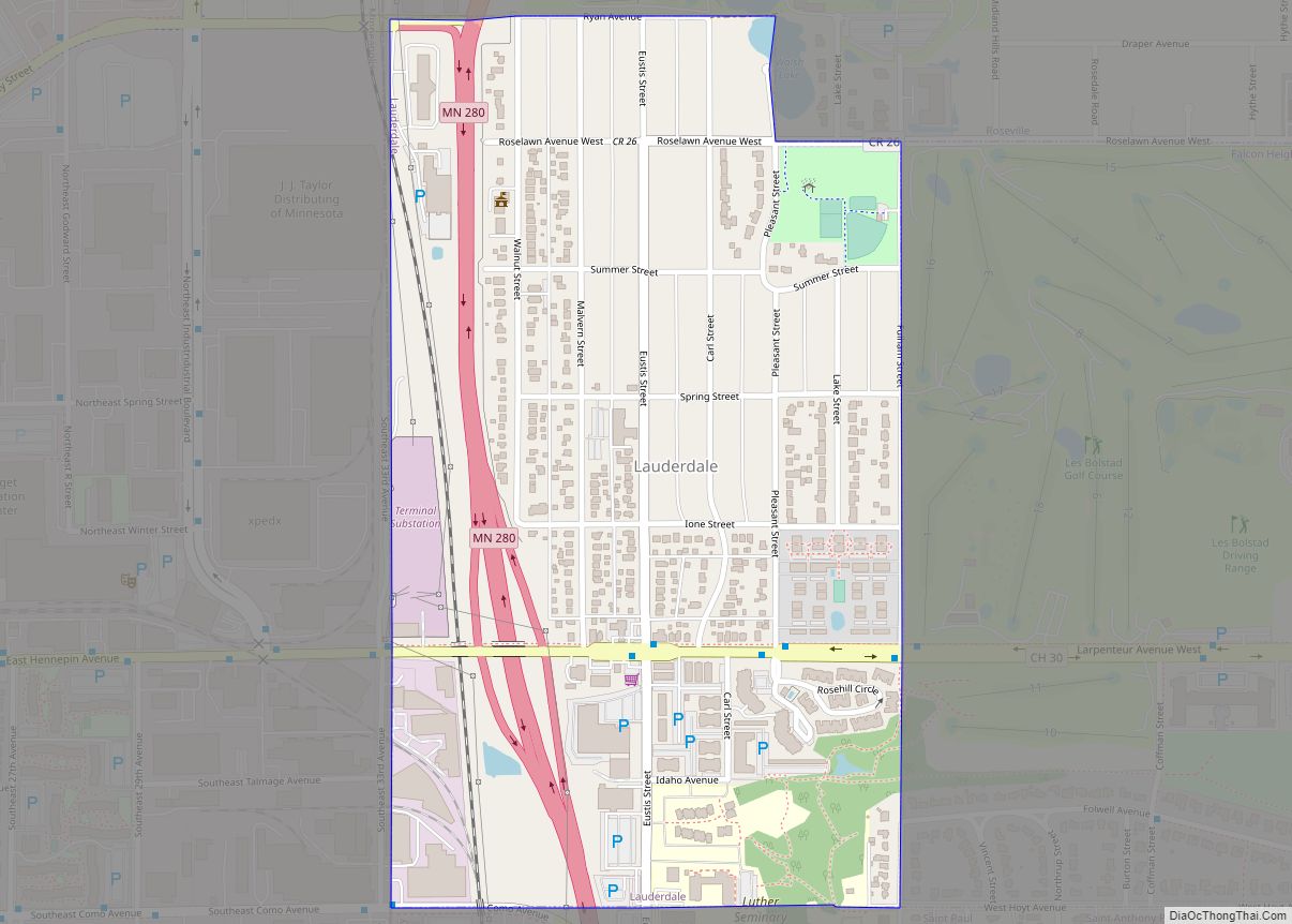
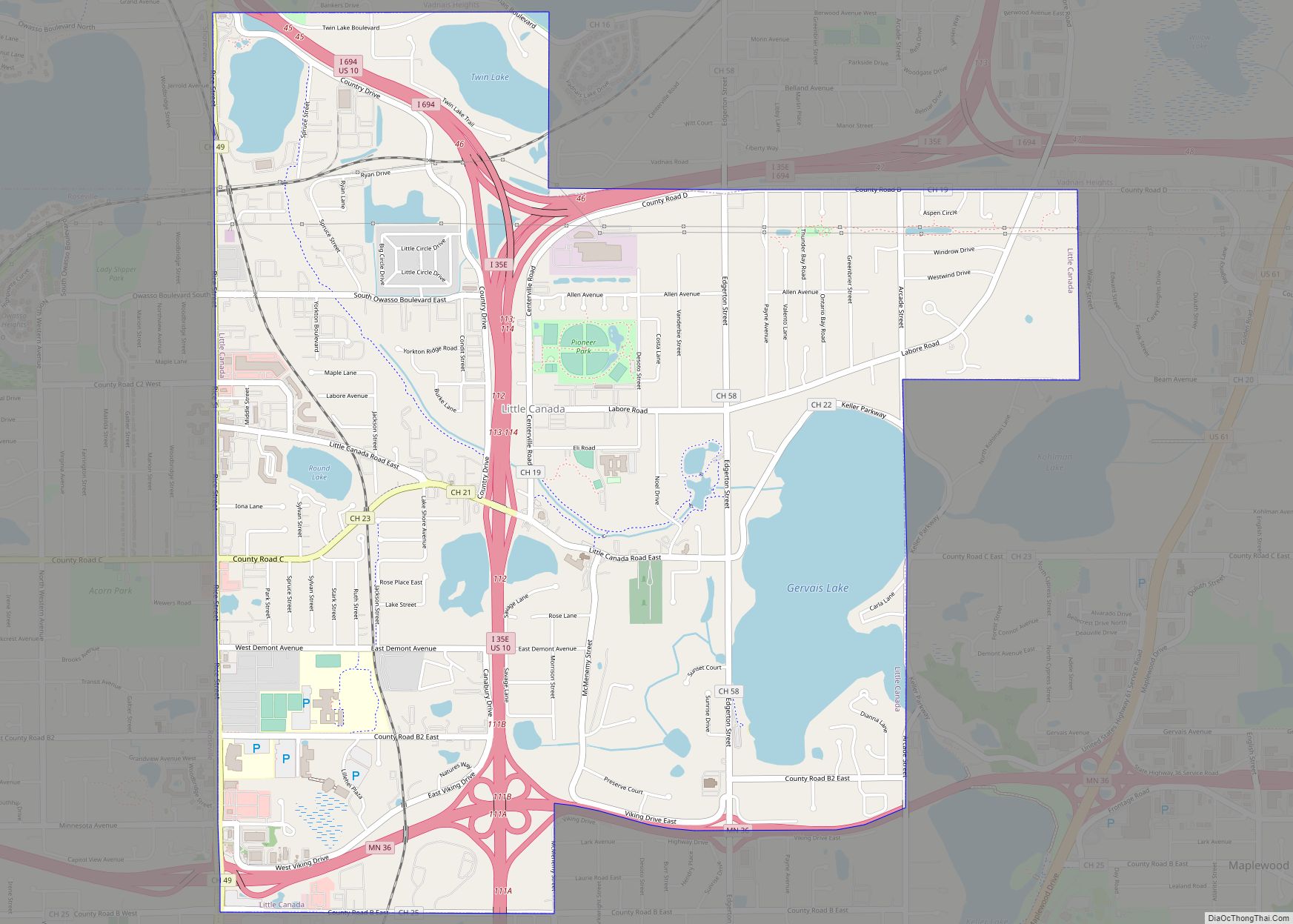
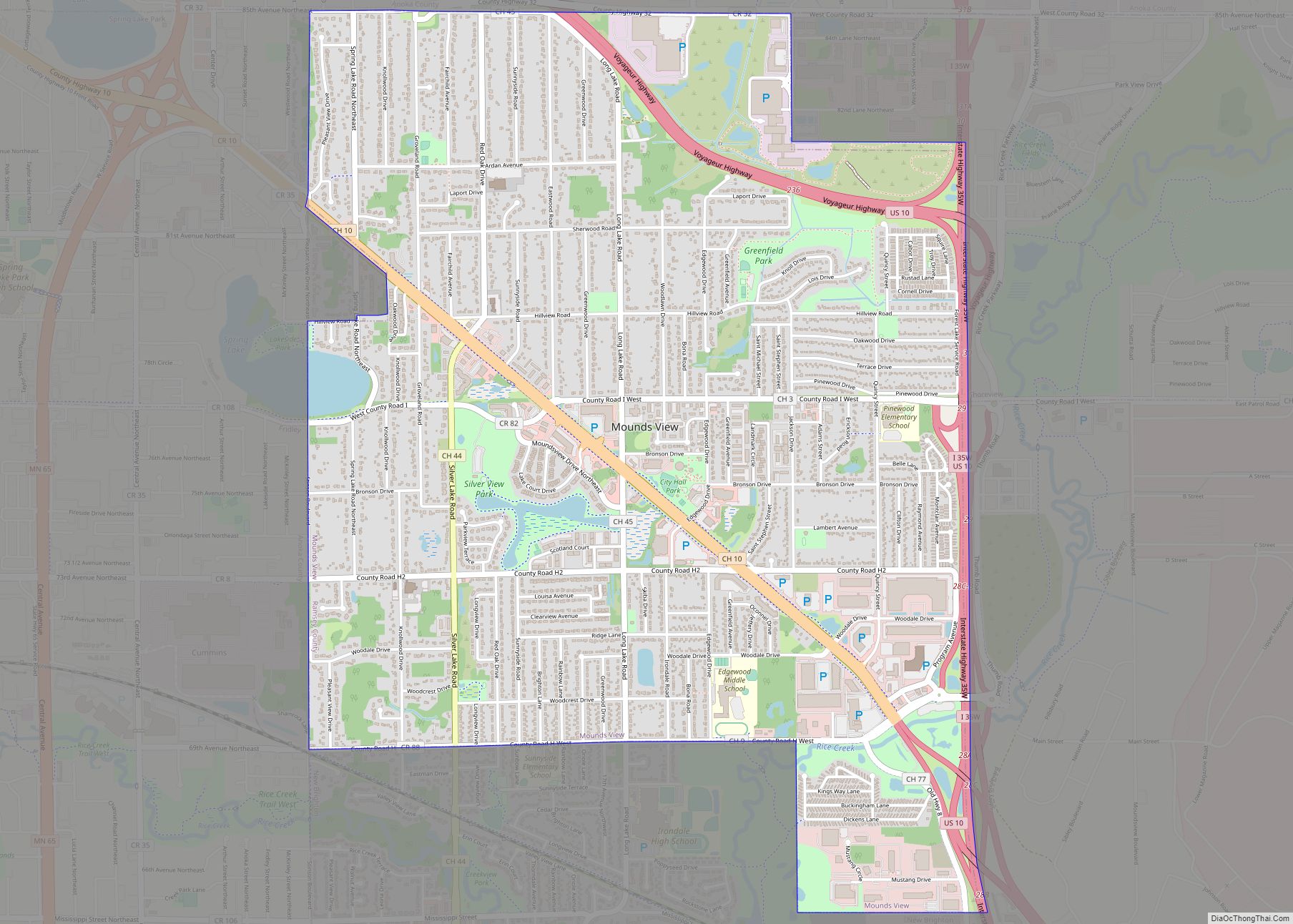
North Oaks Road Map
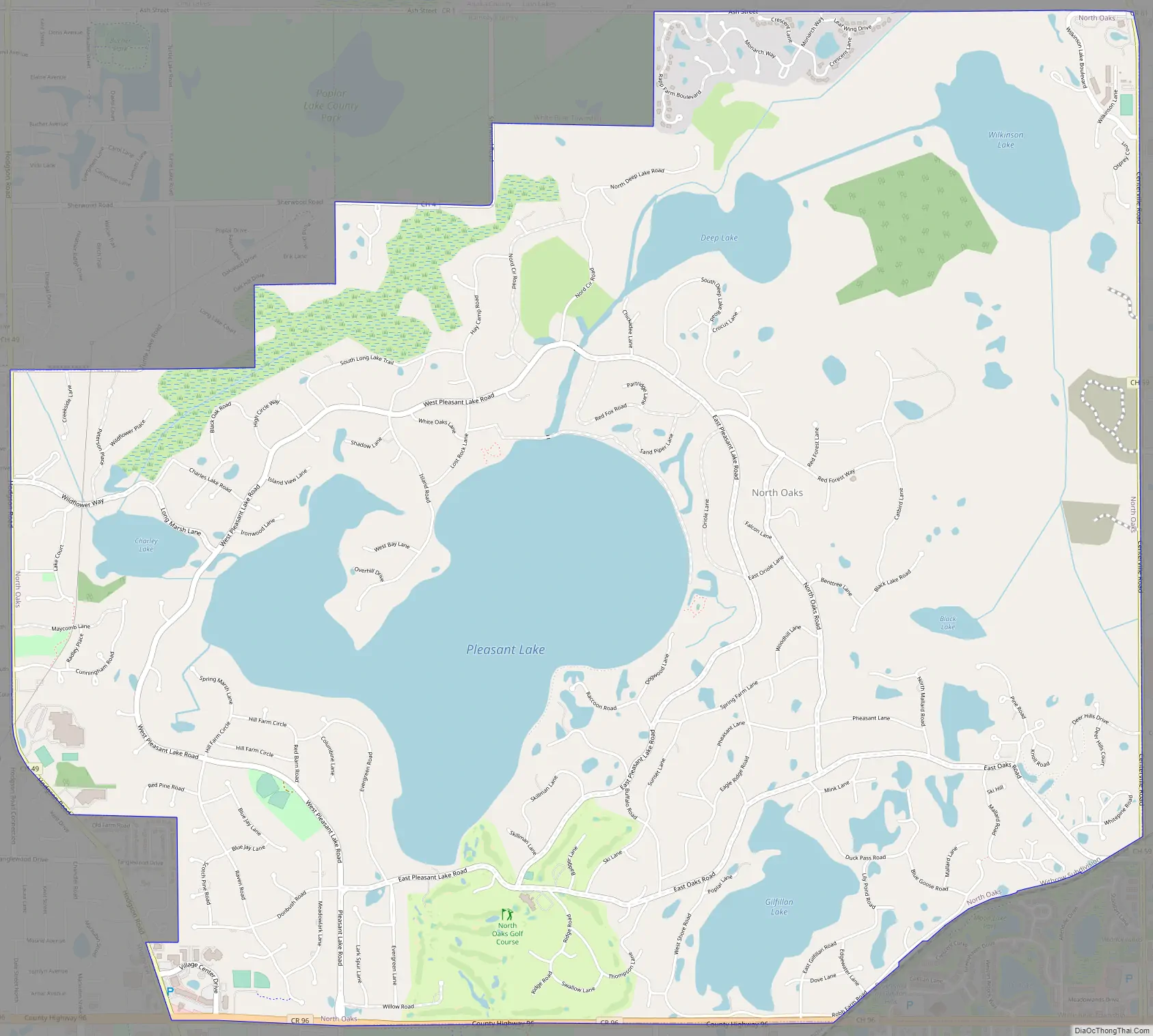
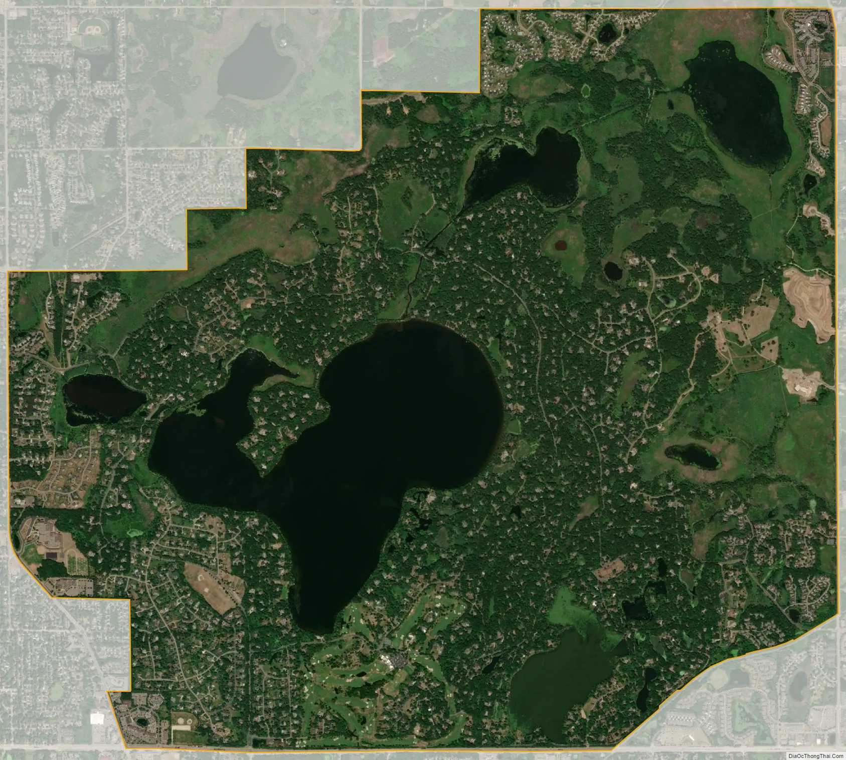
North Oaks city Satellite Map
Geography
According to the United States Census Bureau, the city has a total area of 8.63 square miles (22.35 km), of which 6.92 square miles (17.92 km) is land and 1.71 square miles (4.43 km) is water.
See also
Map of Minnesota State and its subdivision:- Aitkin
- Anoka
- Becker
- Beltrami
- Benton
- Big Stone
- Blue Earth
- Brown
- Carlton
- Carver
- Cass
- Chippewa
- Chisago
- Clay
- Clearwater
- Cook
- Cottonwood
- Crow Wing
- Dakota
- Dodge
- Douglas
- Faribault
- Fillmore
- Freeborn
- Goodhue
- Grant
- Hennepin
- Houston
- Hubbard
- Isanti
- Itasca
- Jackson
- Kanabec
- Kandiyohi
- Kittson
- Koochiching
- Lac qui Parle
- Lake
- Lake of the Woods
- Lake Superior
- Le Sueur
- Lincoln
- Lyon
- Mahnomen
- Marshall
- Martin
- McLeod
- Meeker
- Mille Lacs
- Morrison
- Mower
- Murray
- Nicollet
- Nobles
- Norman
- Olmsted
- Otter Tail
- Pennington
- Pine
- Pipestone
- Polk
- Pope
- Ramsey
- Red Lake
- Redwood
- Renville
- Rice
- Rock
- Roseau
- Saint Louis
- Scott
- Sherburne
- Sibley
- Stearns
- Steele
- Stevens
- Swift
- Todd
- Traverse
- Wabasha
- Wadena
- Waseca
- Washington
- Watonwan
- Wilkin
- Winona
- Wright
- Yellow Medicine
- Alabama
- Alaska
- Arizona
- Arkansas
- California
- Colorado
- Connecticut
- Delaware
- District of Columbia
- Florida
- Georgia
- Hawaii
- Idaho
- Illinois
- Indiana
- Iowa
- Kansas
- Kentucky
- Louisiana
- Maine
- Maryland
- Massachusetts
- Michigan
- Minnesota
- Mississippi
- Missouri
- Montana
- Nebraska
- Nevada
- New Hampshire
- New Jersey
- New Mexico
- New York
- North Carolina
- North Dakota
- Ohio
- Oklahoma
- Oregon
- Pennsylvania
- Rhode Island
- South Carolina
- South Dakota
- Tennessee
- Texas
- Utah
- Vermont
- Virginia
- Washington
- West Virginia
- Wisconsin
- Wyoming