Oak Grove is a city in Anoka County, Minnesota, United States. It is north of Minneapolis. The population was 8,031 at the 2010 census.
| Name: | Oak Grove city |
|---|---|
| LSAD Code: | 25 |
| LSAD Description: | city (suffix) |
| State: | Minnesota |
| County: | Anoka County |
| Elevation: | 896 ft (273 m) |
| Total Area: | 35.20 sq mi (91.18 km²) |
| Land Area: | 33.91 sq mi (87.82 km²) |
| Water Area: | 1.30 sq mi (3.36 km²) |
| Total Population: | 8,929 |
| Population Density: | 263.33/sq mi (101.67/km²) |
| ZIP code: | 55011, 55303, 55005 |
| Area code: | 763 |
| FIPS code: | 2747690 |
| GNISfeature ID: | 2395282 |
| Website: | www.ci.oak-grove.mn.us |
Online Interactive Map
Click on ![]() to view map in "full screen" mode.
to view map in "full screen" mode.
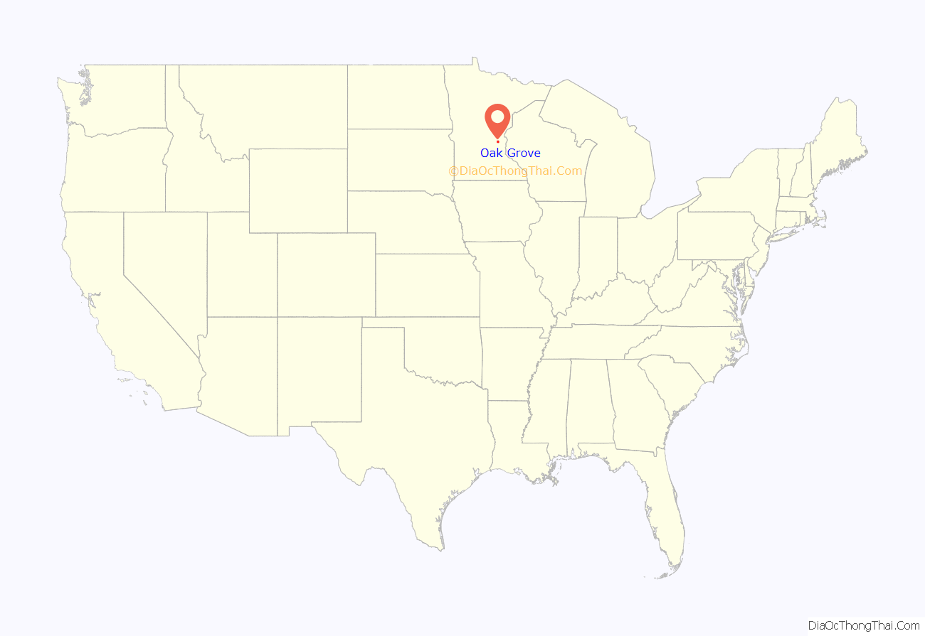
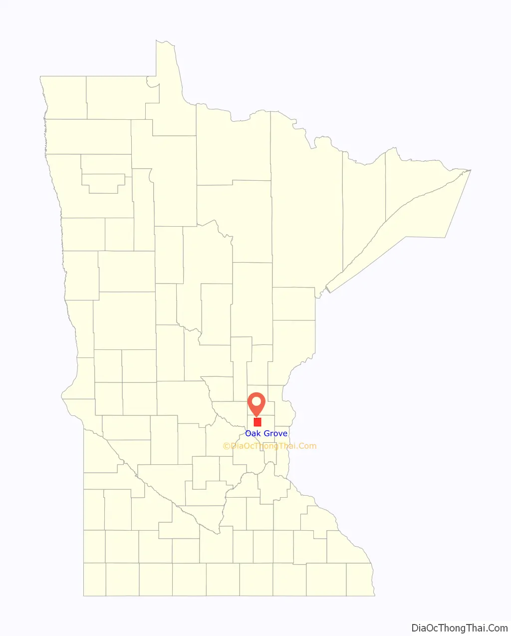
Oak Grove location map. Where is Oak Grove city?
History
Oak Grove first became an organized township in 1857, and was so named because of the large groves of oak trees in the area. The village of Oak Grove was founded in 1854, and a post office operated from 1857 to 1901. The township incorporated as the city of Oak Grove in 1993.
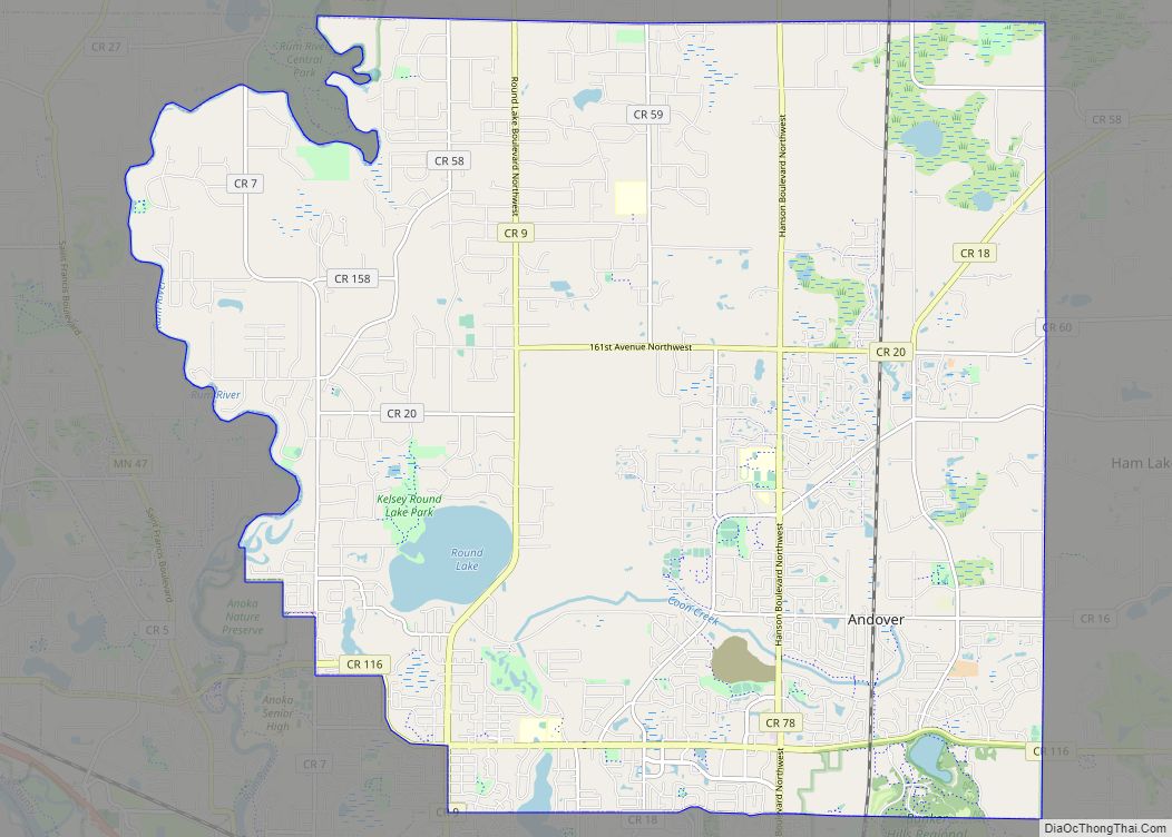
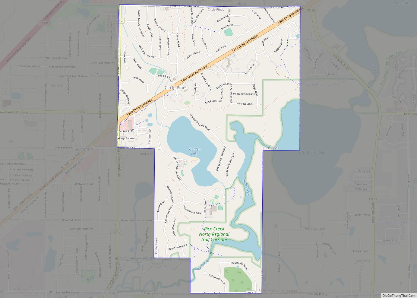
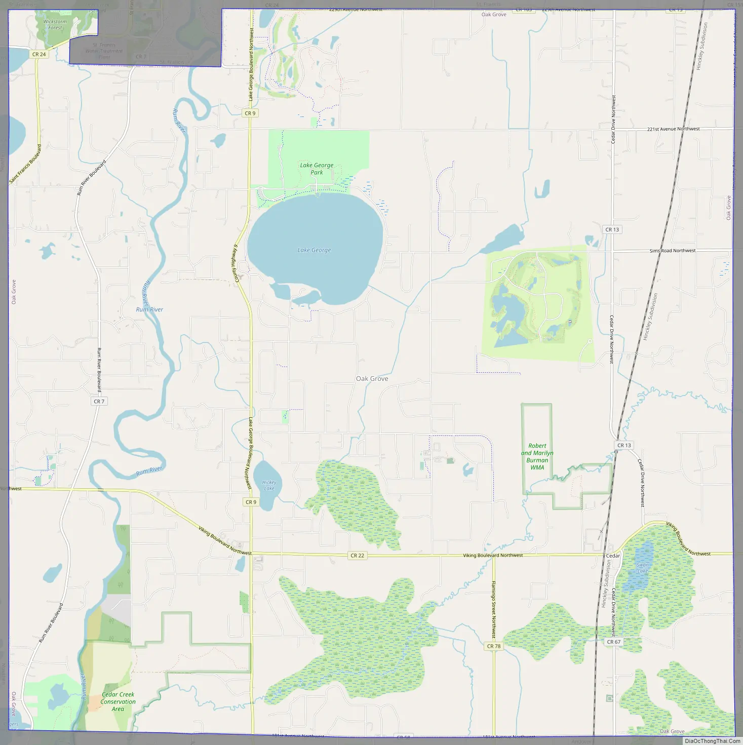
Oak Grove Road Map
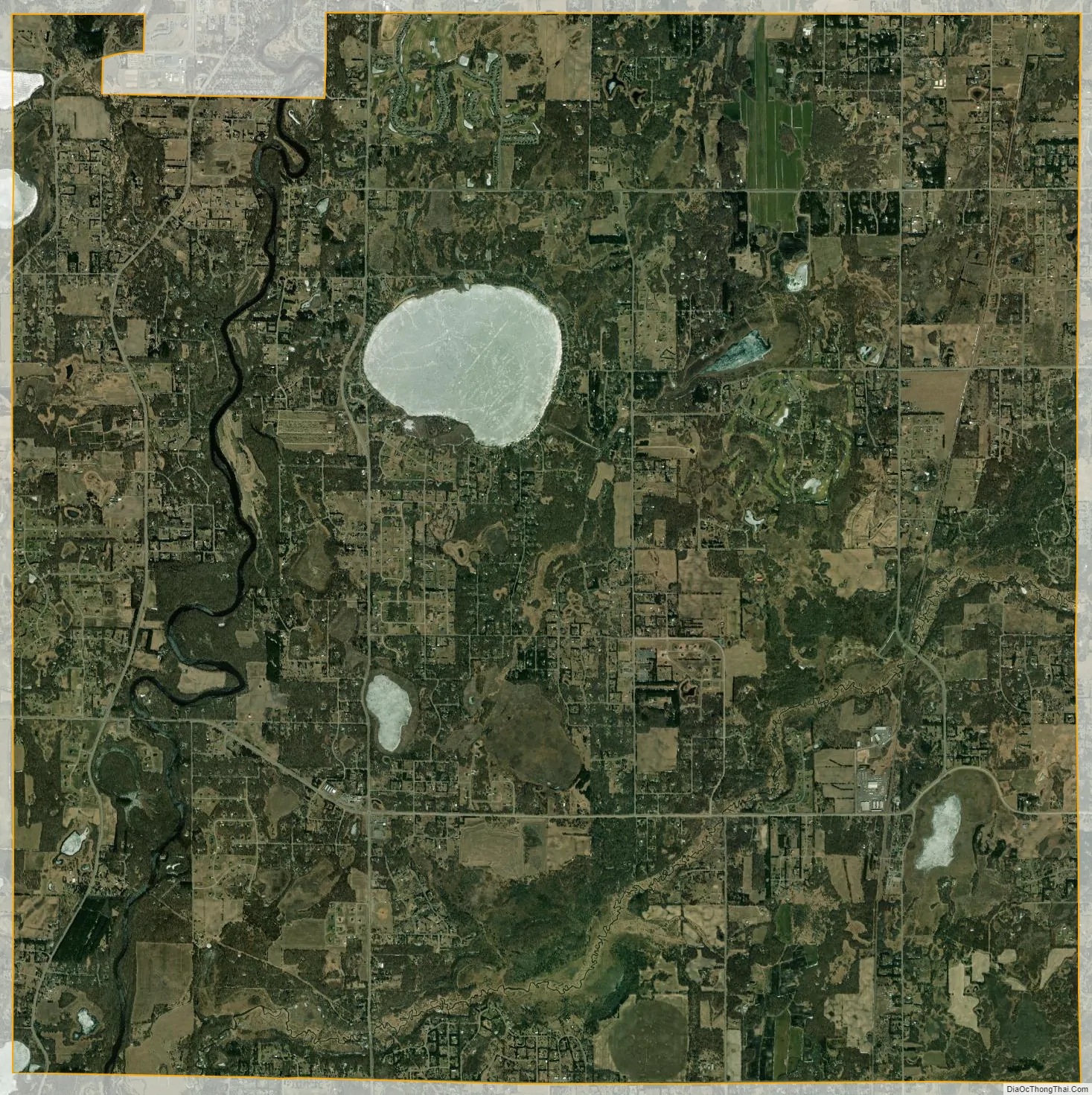
Oak Grove city Satellite Map
Geography
According to the United States Census Bureau, the city has a total area of 35.16 square miles (91.06 km), of which 33.85 square miles (87.67 km) is land and 1.31 square miles (3.39 km) is water. County Roads 7, 9, 13, 22, and 78 are the main routes in the community. State Highway 47 (MN 47) passes briefly through the northwest corner of Oak Grove.
Lake George is located within the city of Oak Grove.
Adjacent cities
- St. Francis (north)
- East Bethel (east)
- Ham Lake (southeast)
- Andover (south)
- Ramsey (southwest)
- Nowthen (west)
See also
Map of Minnesota State and its subdivision:- Aitkin
- Anoka
- Becker
- Beltrami
- Benton
- Big Stone
- Blue Earth
- Brown
- Carlton
- Carver
- Cass
- Chippewa
- Chisago
- Clay
- Clearwater
- Cook
- Cottonwood
- Crow Wing
- Dakota
- Dodge
- Douglas
- Faribault
- Fillmore
- Freeborn
- Goodhue
- Grant
- Hennepin
- Houston
- Hubbard
- Isanti
- Itasca
- Jackson
- Kanabec
- Kandiyohi
- Kittson
- Koochiching
- Lac qui Parle
- Lake
- Lake of the Woods
- Lake Superior
- Le Sueur
- Lincoln
- Lyon
- Mahnomen
- Marshall
- Martin
- McLeod
- Meeker
- Mille Lacs
- Morrison
- Mower
- Murray
- Nicollet
- Nobles
- Norman
- Olmsted
- Otter Tail
- Pennington
- Pine
- Pipestone
- Polk
- Pope
- Ramsey
- Red Lake
- Redwood
- Renville
- Rice
- Rock
- Roseau
- Saint Louis
- Scott
- Sherburne
- Sibley
- Stearns
- Steele
- Stevens
- Swift
- Todd
- Traverse
- Wabasha
- Wadena
- Waseca
- Washington
- Watonwan
- Wilkin
- Winona
- Wright
- Yellow Medicine
- Alabama
- Alaska
- Arizona
- Arkansas
- California
- Colorado
- Connecticut
- Delaware
- District of Columbia
- Florida
- Georgia
- Hawaii
- Idaho
- Illinois
- Indiana
- Iowa
- Kansas
- Kentucky
- Louisiana
- Maine
- Maryland
- Massachusetts
- Michigan
- Minnesota
- Mississippi
- Missouri
- Montana
- Nebraska
- Nevada
- New Hampshire
- New Jersey
- New Mexico
- New York
- North Carolina
- North Dakota
- Ohio
- Oklahoma
- Oregon
- Pennsylvania
- Rhode Island
- South Carolina
- South Dakota
- Tennessee
- Texas
- Utah
- Vermont
- Virginia
- Washington
- West Virginia
- Wisconsin
- Wyoming