Rockford is a city in Wright and Hennepin counties in the U.S. state of Minnesota. The population was 4,316 at the 2010 census. While Rockford is mainly located within Wright County, a small part of the city extends into Hennepin County. It is part of the Minneapolis–Saint Paul metropolitan statistical area. Minnesota State Highway 55 serves as a main route in the city.
| Name: | Rockford city |
|---|---|
| LSAD Code: | 25 |
| LSAD Description: | city (suffix) |
| State: | Minnesota |
| County: | Hennepin County, Wright County |
| Elevation: | 915 ft (279 m) |
| Total Area: | 2.60 sq mi (6.73 km²) |
| Land Area: | 2.53 sq mi (6.54 km²) |
| Water Area: | 0.07 sq mi (0.18 km²) |
| Total Population: | 4,500 |
| Population Density: | 1,781.47/sq mi (687.79/km²) |
| ZIP code: | 55373 |
| Area code: | 763 |
| FIPS code: | 2755006 |
| GNISfeature ID: | 0650206 |
| Website: | www.cityofrockford.org |
Online Interactive Map
Click on ![]() to view map in "full screen" mode.
to view map in "full screen" mode.
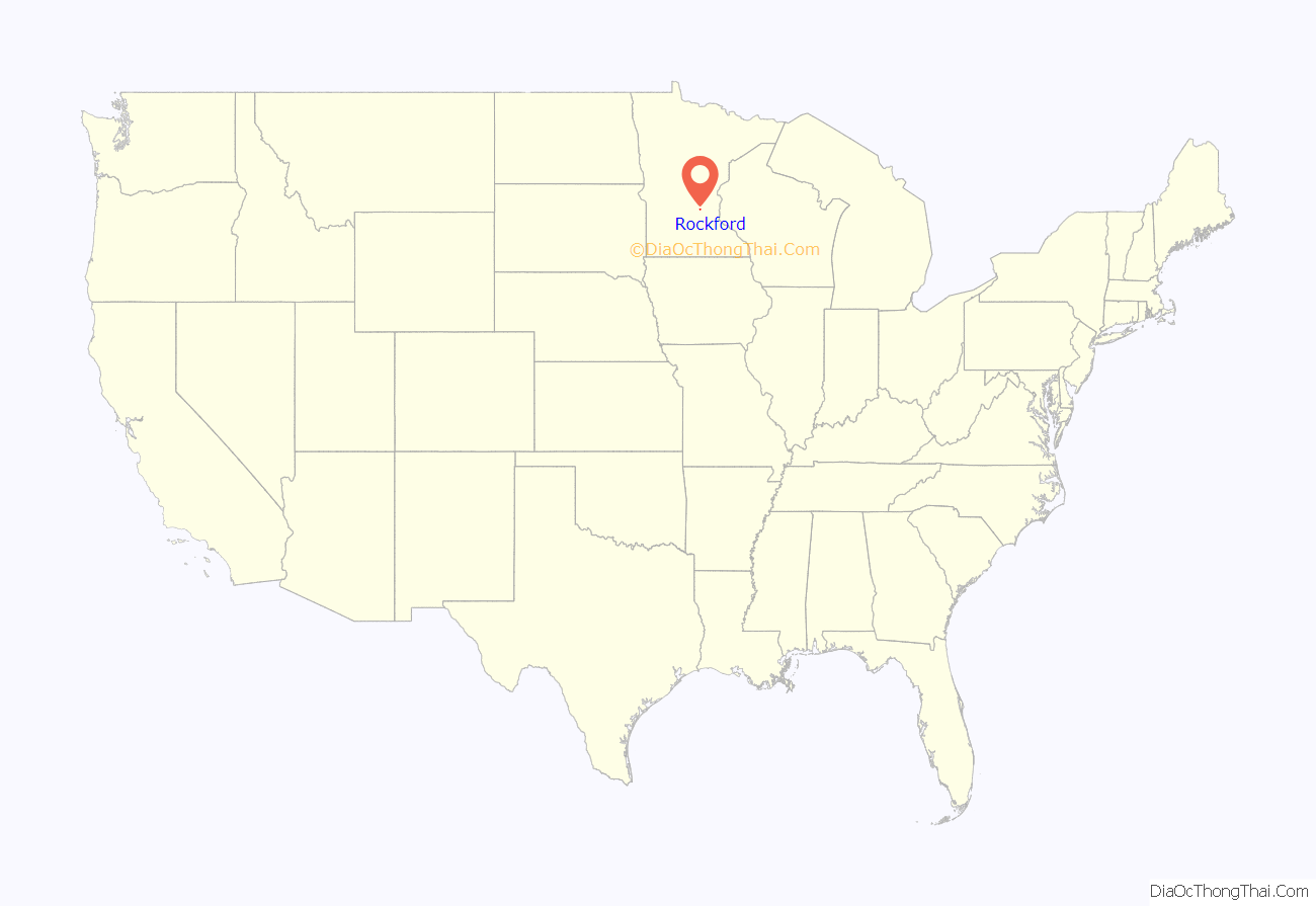
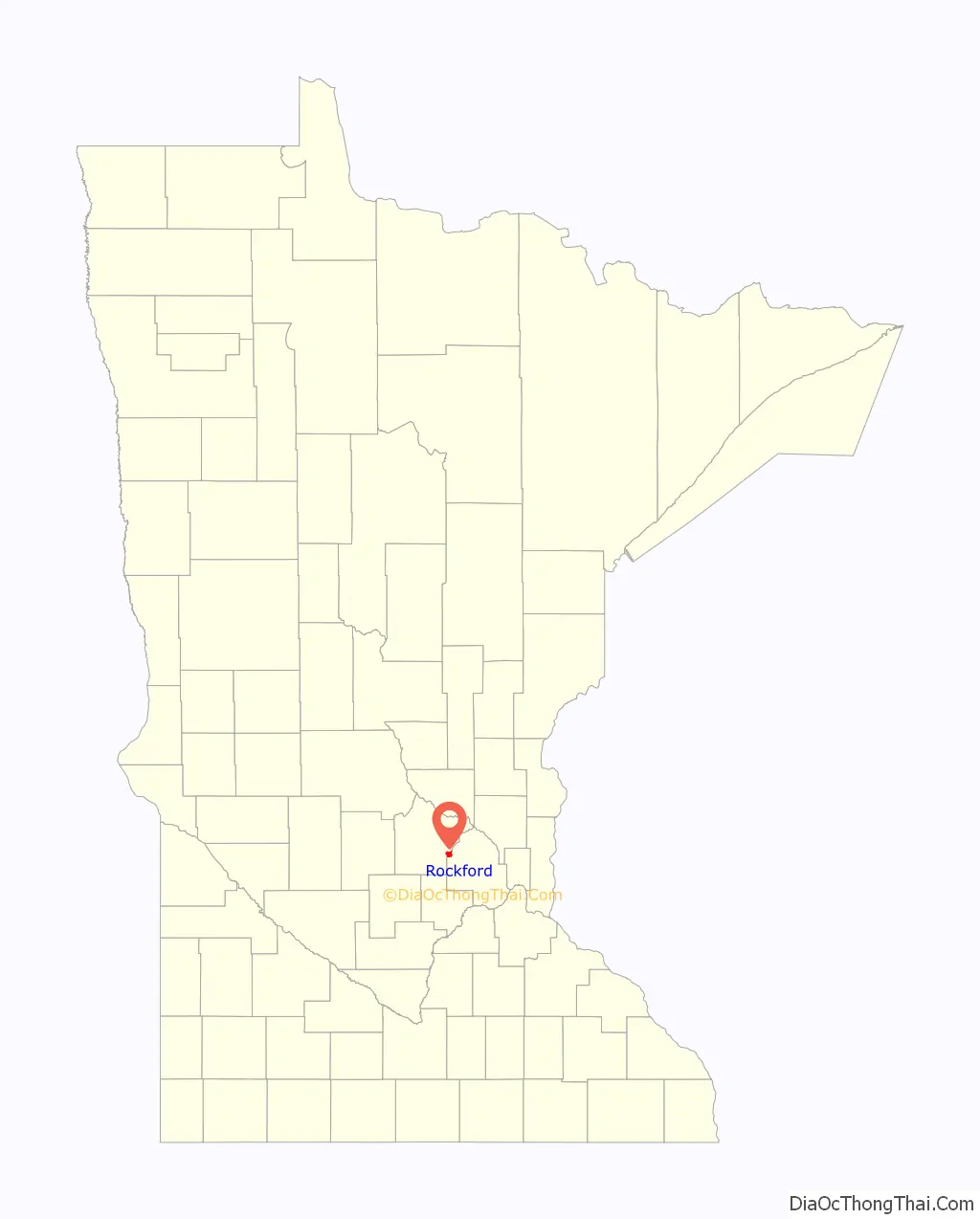
Rockford location map. Where is Rockford city?
History
Prior to the founding of what is today Rockford, Native Americans inhabited the area.
Mounds anywhere from 500 to 1500 years old can be found, as well as a trail dating just as long that runs under the Bridge Street Bridge on the Hennepin County side.
The area was a natural border land between the Ojibwe and Dakota, and was good hunting and wintering grounds to the tribes that could come and go. It officially belonged to the Dakotas. The closest Objibwe village was over in Dayton, on the Crow.
As Wisconsin became settled, the Winnebago were pushed west and set up camp in Rockford. There was discussion about creating a reservation for them at the spot, but late 1840s Minneapolis was booming and those folks didn’t want a reservation so close.
After the Treaty Traverse de Sioux in 1851, the land was open to white settlers. Surveying was completed in 1854, and plots became available. The Winnebago were still here; George Florida wrote a memory of skating with the Native children on the Crow River.
In 1855, brothers-in-law George F. Ames and Joel Florida of Illinois came up the Crow River with carpenter Guildford D. George with hopes of starting a mill town. Eventually the town would boast multiple thriving mills: a lumber, a flour, and a saw mill.
1858 brought the Wright County War and the first US troops called to Minnesota.
A stockade was built in town during the Dakota Uprising of 1862, and again during a little scare in 1863.
Rockford was incorporated in 1881. The railroad went through town in 1886.
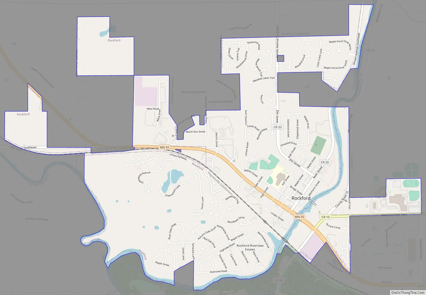
Rockford Road Map
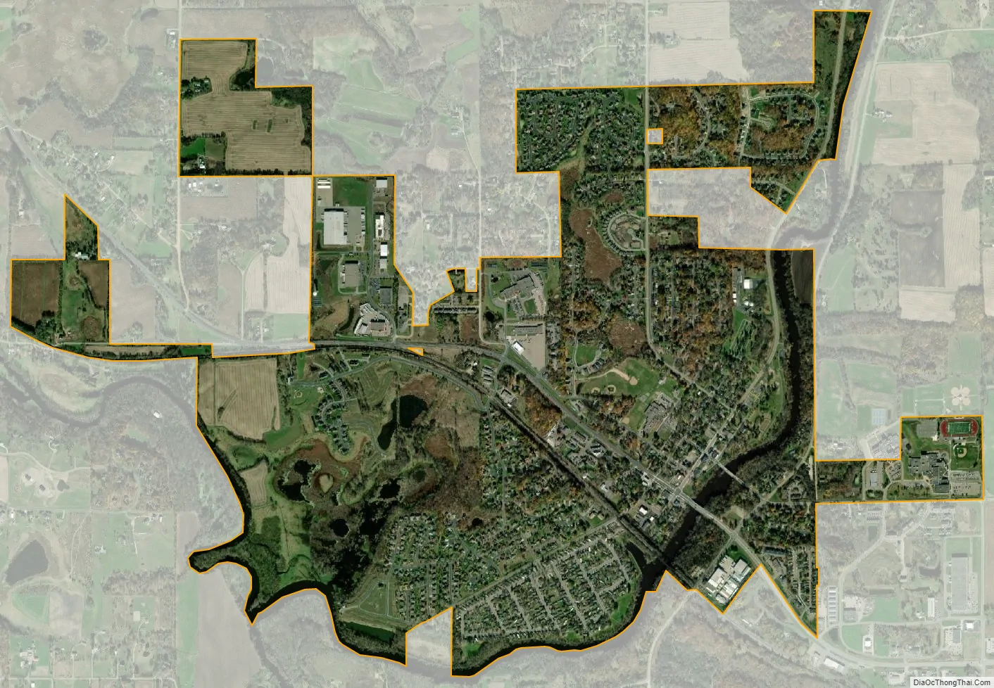
Rockford city Satellite Map
Geography
According to the United States Census Bureau, the city has a total area of 2.67 square miles (6.92 km); 2.61 square miles (6.76 km) is land and 0.06 square miles (0.16 km) is water.
The Crow River is formed at Rockford by the confluence of its North and South Forks.
See also
Map of Minnesota State and its subdivision:- Aitkin
- Anoka
- Becker
- Beltrami
- Benton
- Big Stone
- Blue Earth
- Brown
- Carlton
- Carver
- Cass
- Chippewa
- Chisago
- Clay
- Clearwater
- Cook
- Cottonwood
- Crow Wing
- Dakota
- Dodge
- Douglas
- Faribault
- Fillmore
- Freeborn
- Goodhue
- Grant
- Hennepin
- Houston
- Hubbard
- Isanti
- Itasca
- Jackson
- Kanabec
- Kandiyohi
- Kittson
- Koochiching
- Lac qui Parle
- Lake
- Lake of the Woods
- Lake Superior
- Le Sueur
- Lincoln
- Lyon
- Mahnomen
- Marshall
- Martin
- McLeod
- Meeker
- Mille Lacs
- Morrison
- Mower
- Murray
- Nicollet
- Nobles
- Norman
- Olmsted
- Otter Tail
- Pennington
- Pine
- Pipestone
- Polk
- Pope
- Ramsey
- Red Lake
- Redwood
- Renville
- Rice
- Rock
- Roseau
- Saint Louis
- Scott
- Sherburne
- Sibley
- Stearns
- Steele
- Stevens
- Swift
- Todd
- Traverse
- Wabasha
- Wadena
- Waseca
- Washington
- Watonwan
- Wilkin
- Winona
- Wright
- Yellow Medicine
- Alabama
- Alaska
- Arizona
- Arkansas
- California
- Colorado
- Connecticut
- Delaware
- District of Columbia
- Florida
- Georgia
- Hawaii
- Idaho
- Illinois
- Indiana
- Iowa
- Kansas
- Kentucky
- Louisiana
- Maine
- Maryland
- Massachusetts
- Michigan
- Minnesota
- Mississippi
- Missouri
- Montana
- Nebraska
- Nevada
- New Hampshire
- New Jersey
- New Mexico
- New York
- North Carolina
- North Dakota
- Ohio
- Oklahoma
- Oregon
- Pennsylvania
- Rhode Island
- South Carolina
- South Dakota
- Tennessee
- Texas
- Utah
- Vermont
- Virginia
- Washington
- West Virginia
- Wisconsin
- Wyoming