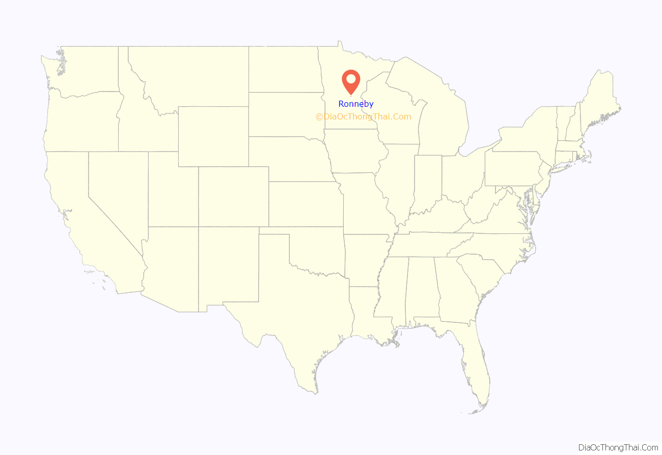
Ronneby is an unincorporated community and census-designated place (CDP) in Maywood Township, Benton County, Minnesota, United States. As of the 2010 census, its population was 67. The community is located along State Highway 23 (MN 23) near Benton County Road 6.
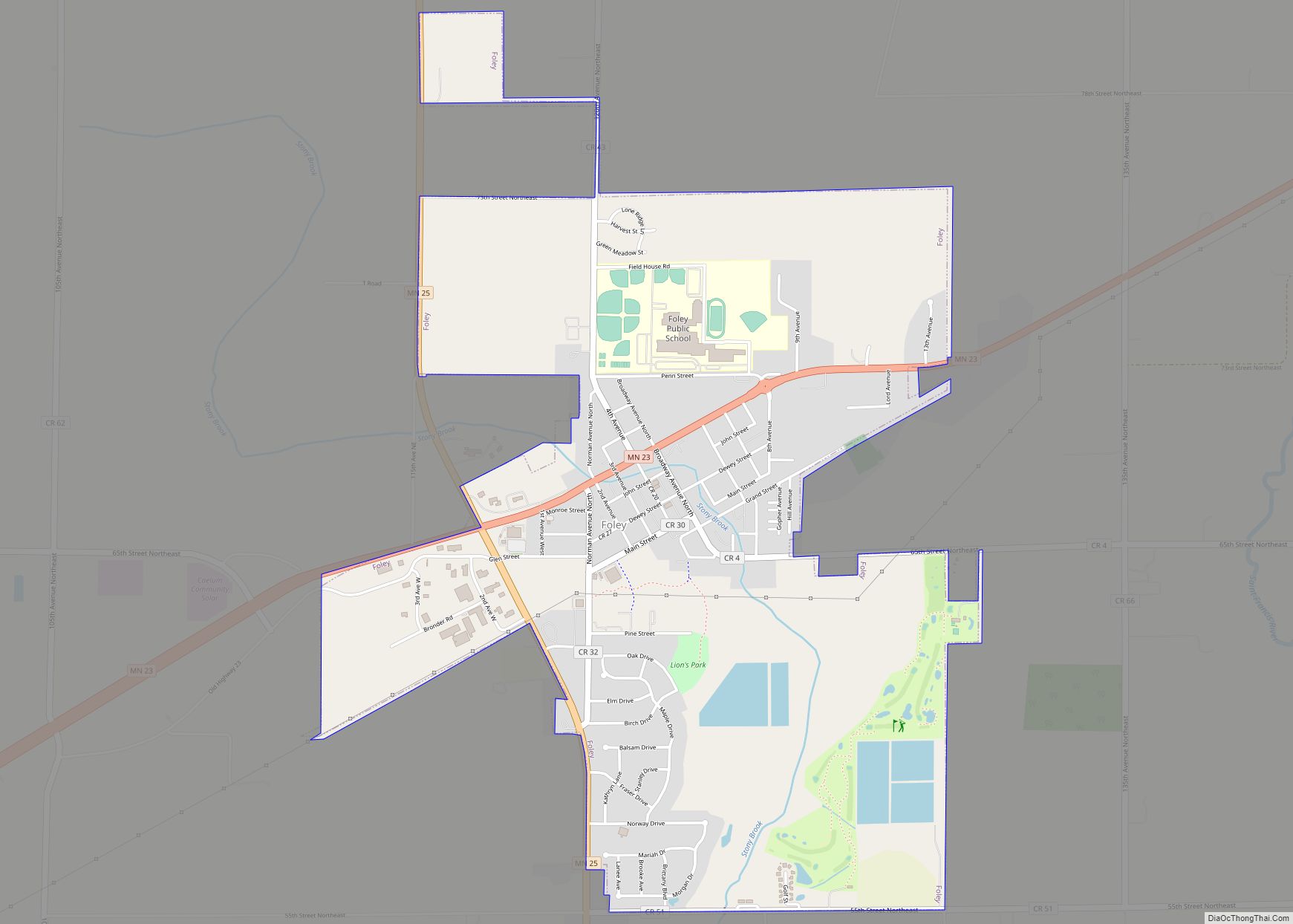
Nearby places include Foley and Oak Park. Ronneby is part of the Saint Cloud Metropolitan Statistical Area.
| Name: | Ronneby CDP |
|---|---|
| LSAD Code: | 57 |
| LSAD Description: | CDP (suffix) |
| State: | Minnesota |
| County: | Benton County |
| Elevation: | 1,115 ft (340 m) |
| Total Area: | 0.96 sq mi (2.50 km²) |
| Land Area: | 0.96 sq mi (2.50 km²) |
| Water Area: | 0.00 sq mi (0.00 km²) |
| Total Population: | 71 |
| Population Density: | 73.73/sq mi (28.46/km²) |
| ZIP code: | 56329 and 56357 |
| Area code: | 320 |
| FIPS code: | 2755366 |
| GNISfeature ID: | 0650235 |
Online Interactive Map
Click on ![]() to view map in "full screen" mode.
to view map in "full screen" mode.
Ronneby location map. Where is Ronneby CDP?
History
Ronneby was incorporated on August 31, 1899. It was originally named Saint Francis, but changed when the post office was established in 1897, because that name was already in use. Ronneby had its own post office from 1897 to 1973.
In the early 20th century, Ronneby was at its height, featuring a hotel, a newspaper, a lumber mill, and three stores. It was an incorporated city until May 4, 2009. In November 2008, citizens voted 18–9 to dissolve the city. The city had also voted to dissolve in 1998 but proper procedures were not followed and the vote was invalidated. In May 2009, the city became part of Maywood Township. The population was 16 at the 2000 census. Ronneby had a population of 156 in 1900, 132 in 1910, and 76 in 1920.
Ronneby was named from Ronneby, Sweden, the seat of Ronneby Municipality, near Karlskrona in Blekinge County, on the River Ronneby near its mouth in the Baltic Sea.
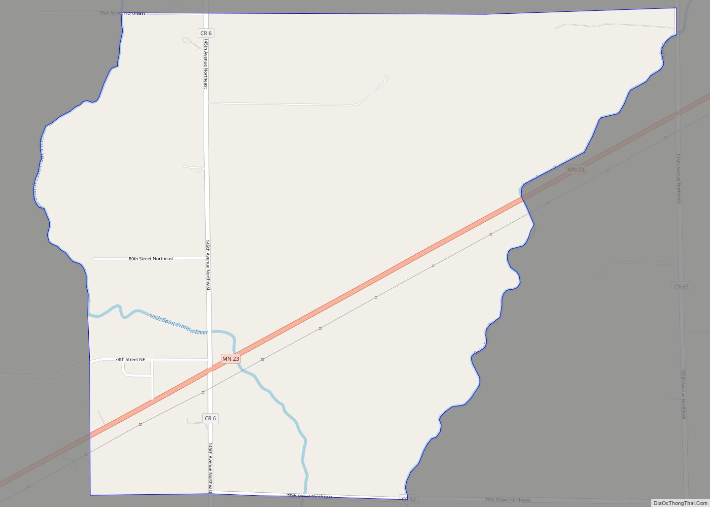
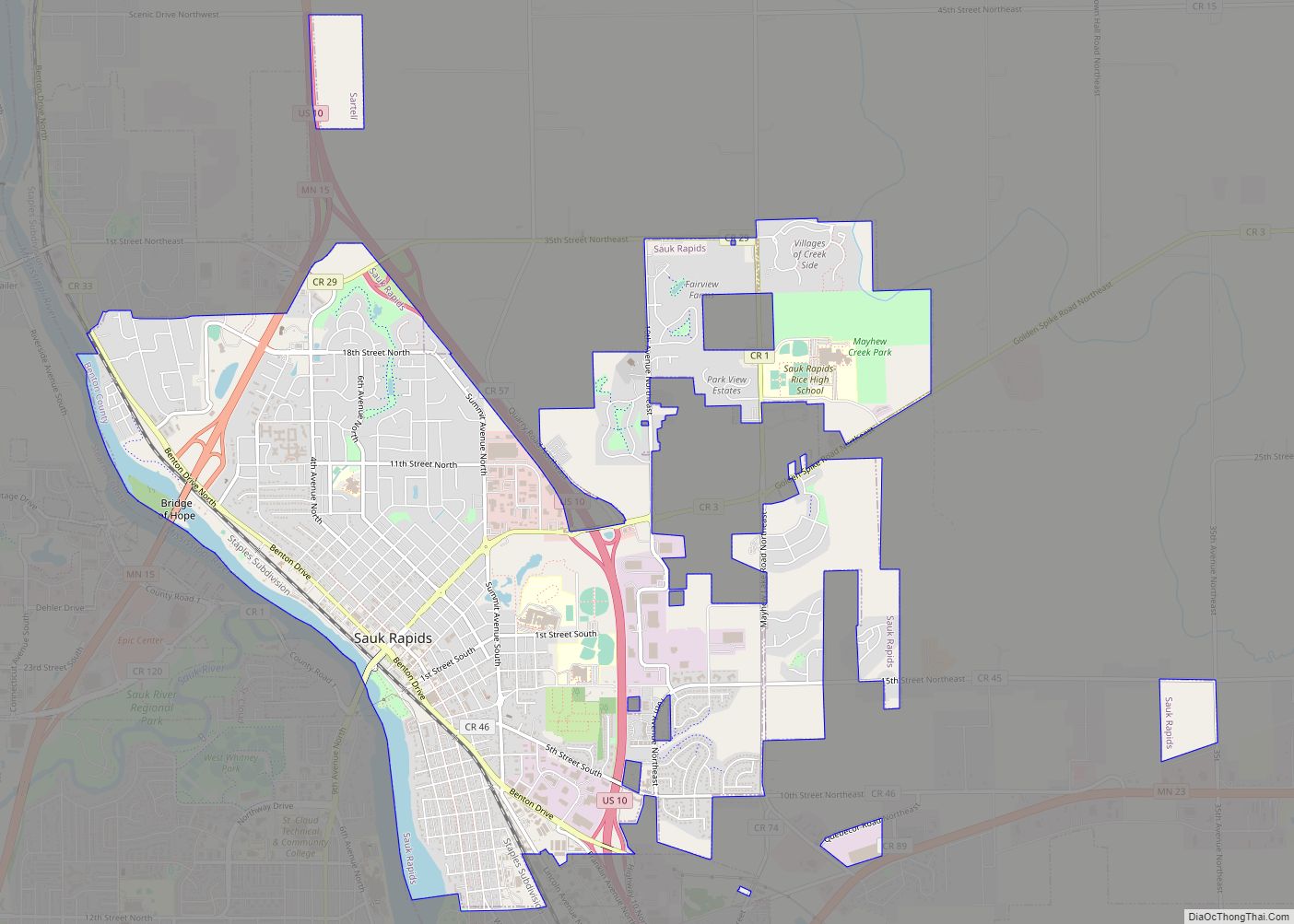
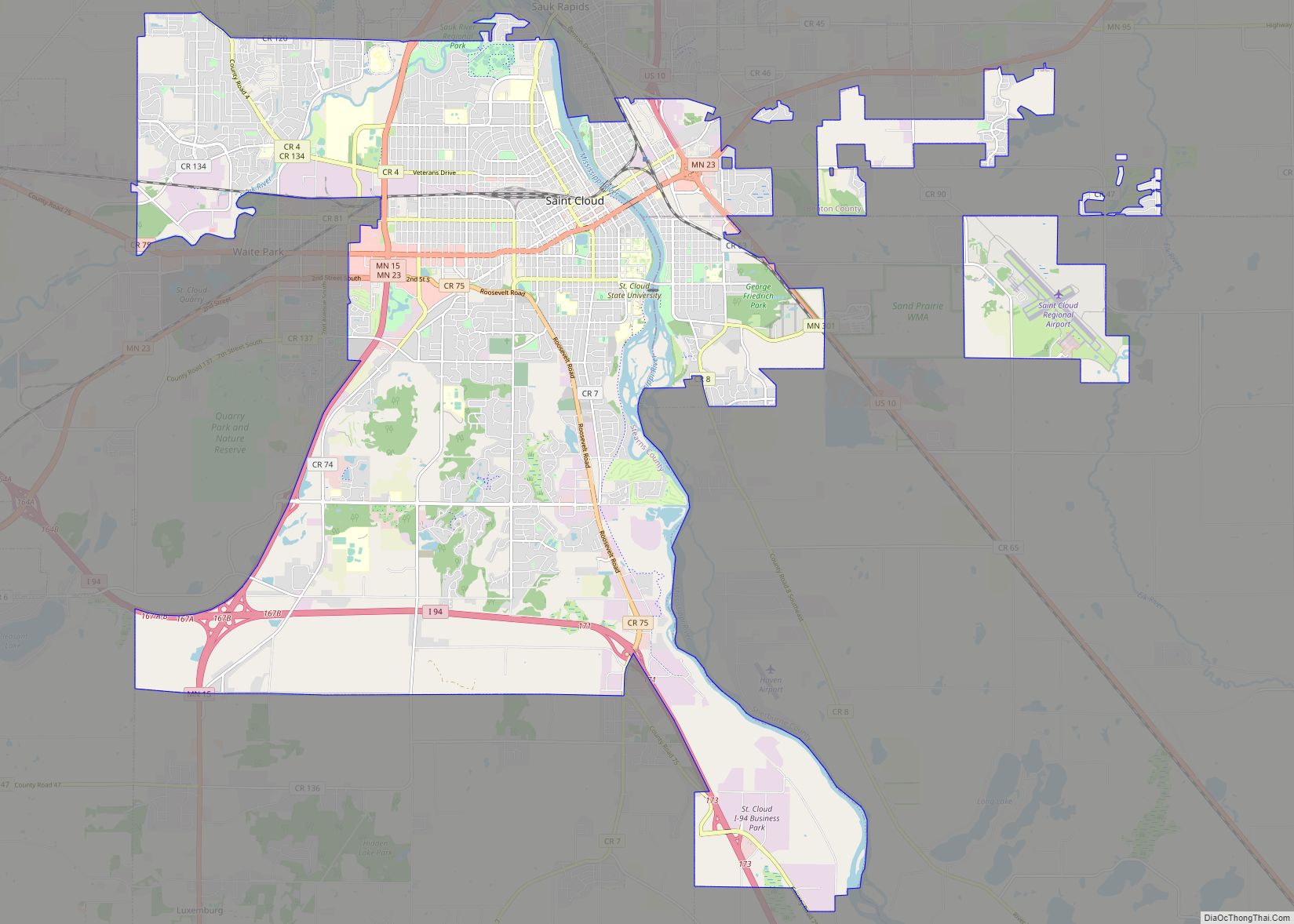
Ronneby Road Map
Ronneby city Satellite Map
Geography
According to the United States Census Bureau, Ronneby has a total area of 1.0 square mile (2.6 km), all land.
Ronneby is located within sections 19 and 20 of Maywood Township. The West Branch of the St. Francis River flows through the community.
See also
Map of Minnesota State and its subdivision:- Aitkin
- Anoka
- Becker
- Beltrami
- Benton
- Big Stone
- Blue Earth
- Brown
- Carlton
- Carver
- Cass
- Chippewa
- Chisago
- Clay
- Clearwater
- Cook
- Cottonwood
- Crow Wing
- Dakota
- Dodge
- Douglas
- Faribault
- Fillmore
- Freeborn
- Goodhue
- Grant
- Hennepin
- Houston
- Hubbard
- Isanti
- Itasca
- Jackson
- Kanabec
- Kandiyohi
- Kittson
- Koochiching
- Lac qui Parle
- Lake
- Lake of the Woods
- Lake Superior
- Le Sueur
- Lincoln
- Lyon
- Mahnomen
- Marshall
- Martin
- McLeod
- Meeker
- Mille Lacs
- Morrison
- Mower
- Murray
- Nicollet
- Nobles
- Norman
- Olmsted
- Otter Tail
- Pennington
- Pine
- Pipestone
- Polk
- Pope
- Ramsey
- Red Lake
- Redwood
- Renville
- Rice
- Rock
- Roseau
- Saint Louis
- Scott
- Sherburne
- Sibley
- Stearns
- Steele
- Stevens
- Swift
- Todd
- Traverse
- Wabasha
- Wadena
- Waseca
- Washington
- Watonwan
- Wilkin
- Winona
- Wright
- Yellow Medicine
- Alabama
- Alaska
- Arizona
- Arkansas
- California
- Colorado
- Connecticut
- Delaware
- District of Columbia
- Florida
- Georgia
- Hawaii
- Idaho
- Illinois
- Indiana
- Iowa
- Kansas
- Kentucky
- Louisiana
- Maine
- Maryland
- Massachusetts
- Michigan
- Minnesota
- Mississippi
- Missouri
- Montana
- Nebraska
- Nevada
- New Hampshire
- New Jersey
- New Mexico
- New York
- North Carolina
- North Dakota
- Ohio
- Oklahoma
- Oregon
- Pennsylvania
- Rhode Island
- South Carolina
- South Dakota
- Tennessee
- Texas
- Utah
- Vermont
- Virginia
- Washington
- West Virginia
- Wisconsin
- Wyoming
