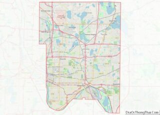
Shoreview is a city in Ramsey County, Minnesota. The population was 25,043 at the time of the 2010 census. In 2008, Shoreview ranked fourth in a Family Circle list of best family towns.
| Name: | Shoreview city |
|---|---|
| LSAD Code: | 25 |
| LSAD Description: | city (suffix) |
| State: | Minnesota |
| County: | Ramsey County |
| Incorporated: | 1957 |
| Elevation: | 948 ft (289 m) |
| Total Area: | 12.66 sq mi (32.78 km²) |
| Land Area: | 10.77 sq mi (27.89 km²) |
| Water Area: | 1.89 sq mi (4.90 km²) |
| Total Population: | 26,921 |
| Population Density: | 2,500.33/sq mi (965.42/km²) |
| ZIP code: | 55126 |
| Area code: | 651 |
| FIPS code: | 2759998 |
| GNISfeature ID: | 0651996 |
Online Interactive Map
Click on ![]() to view map in "full screen" mode.
to view map in "full screen" mode.
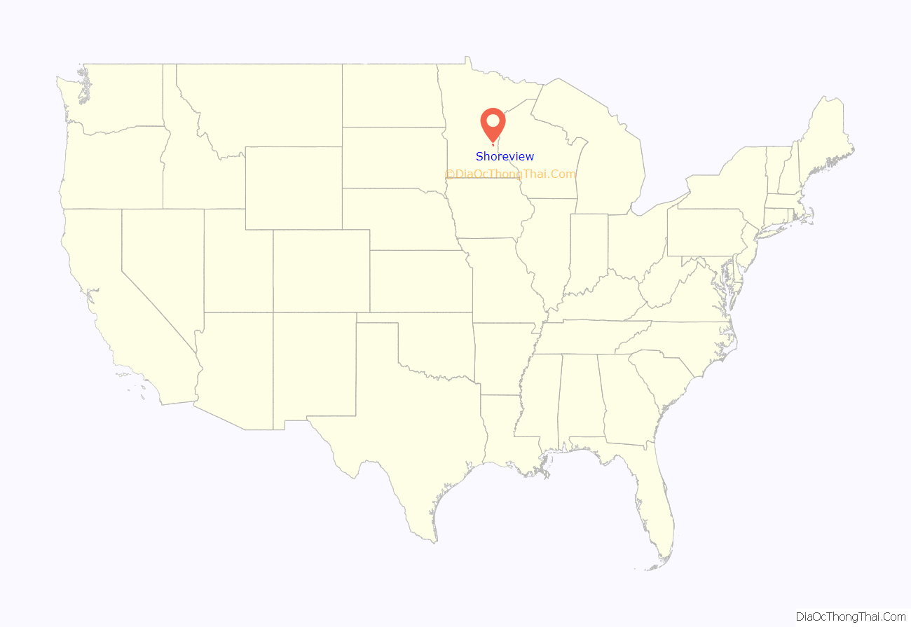
Shoreview location map. Where is Shoreview city?
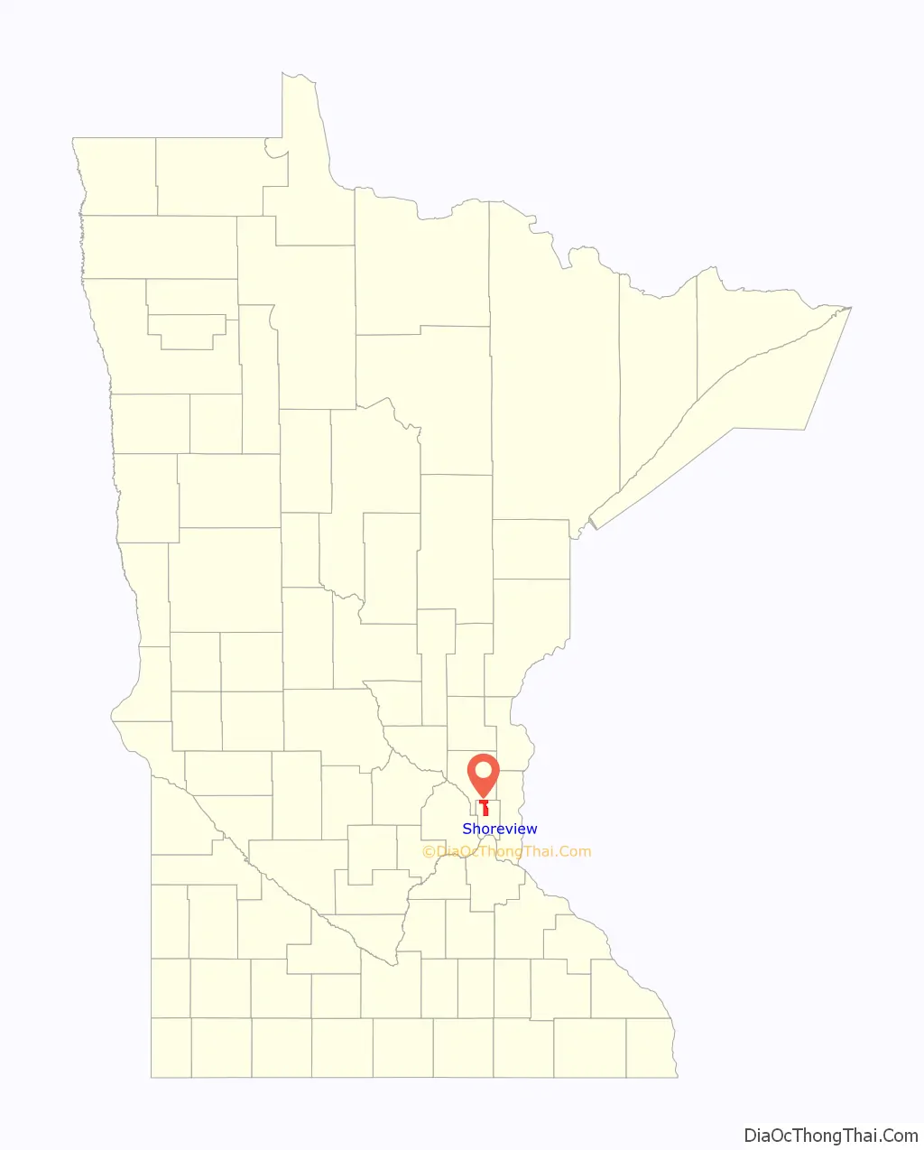
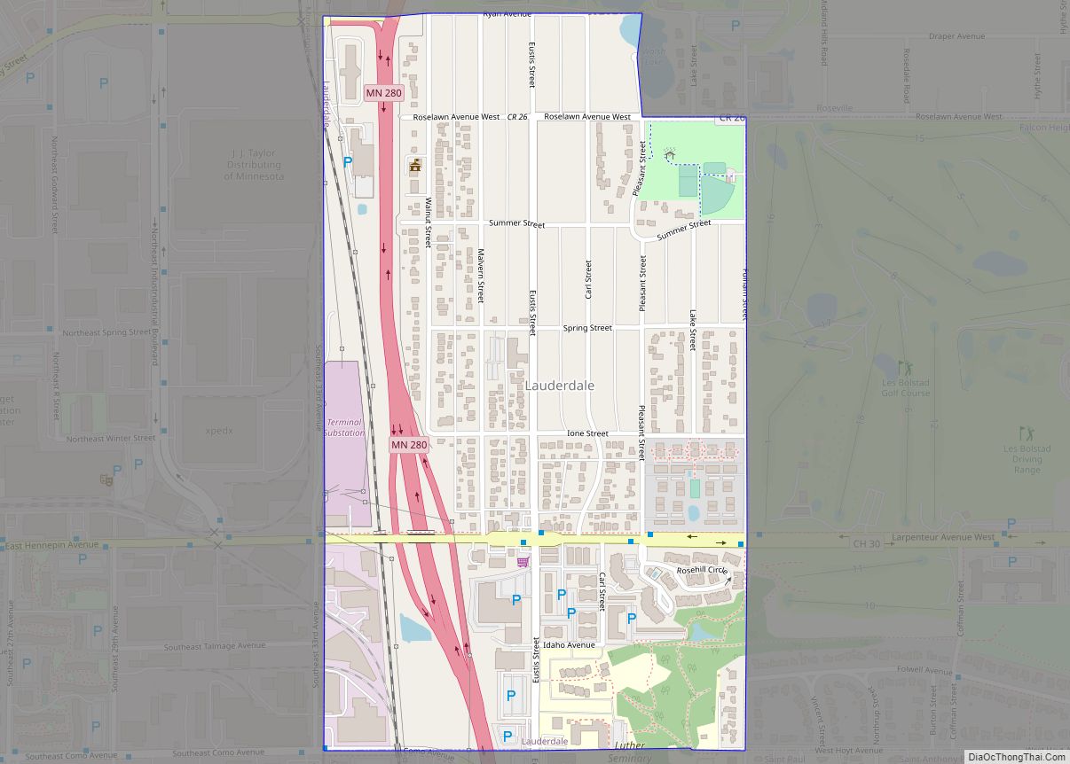
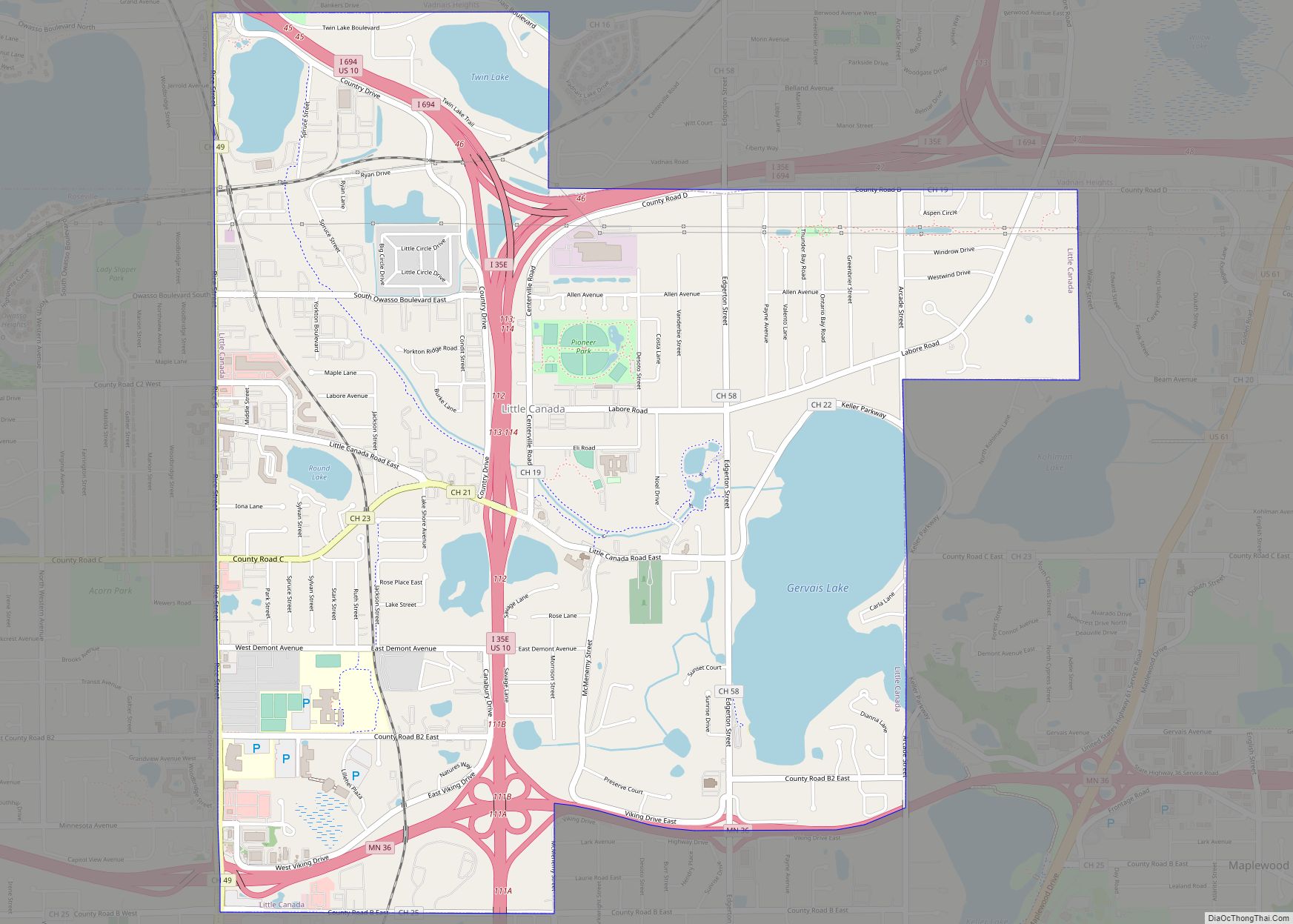
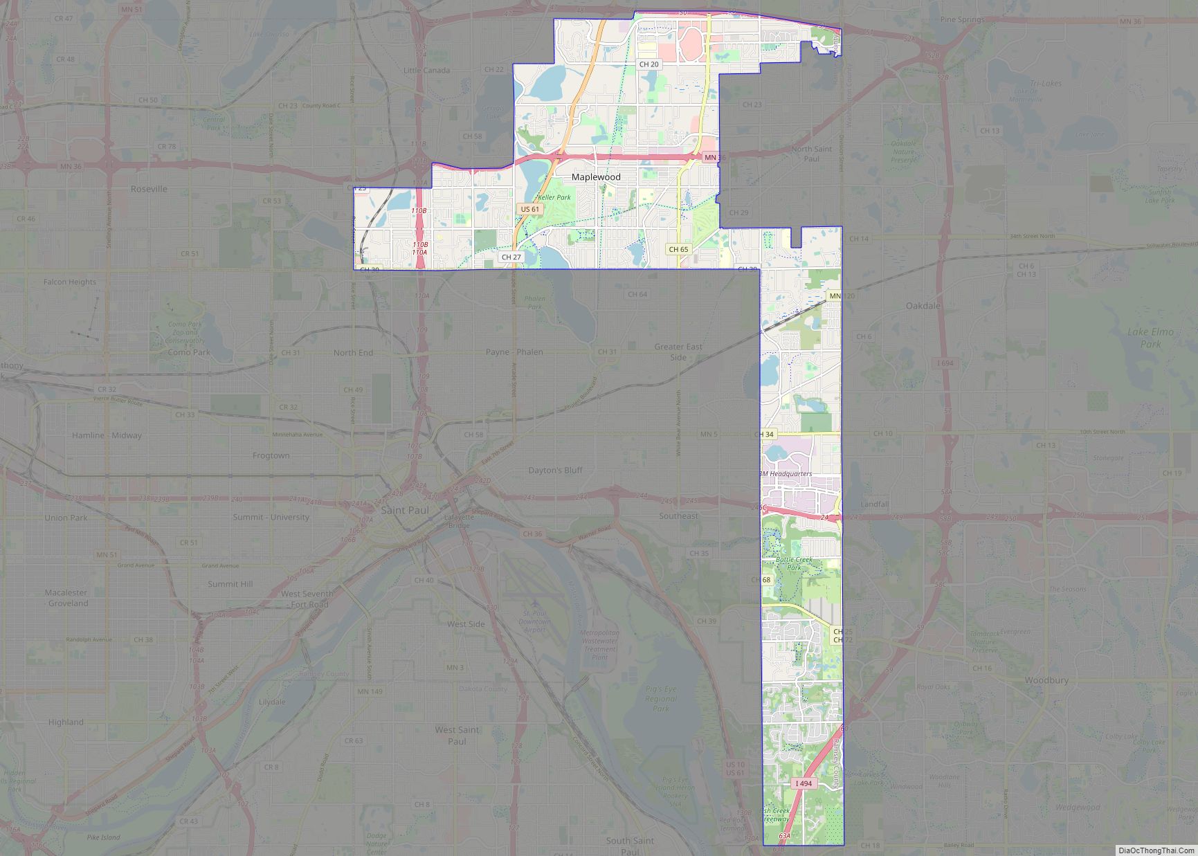
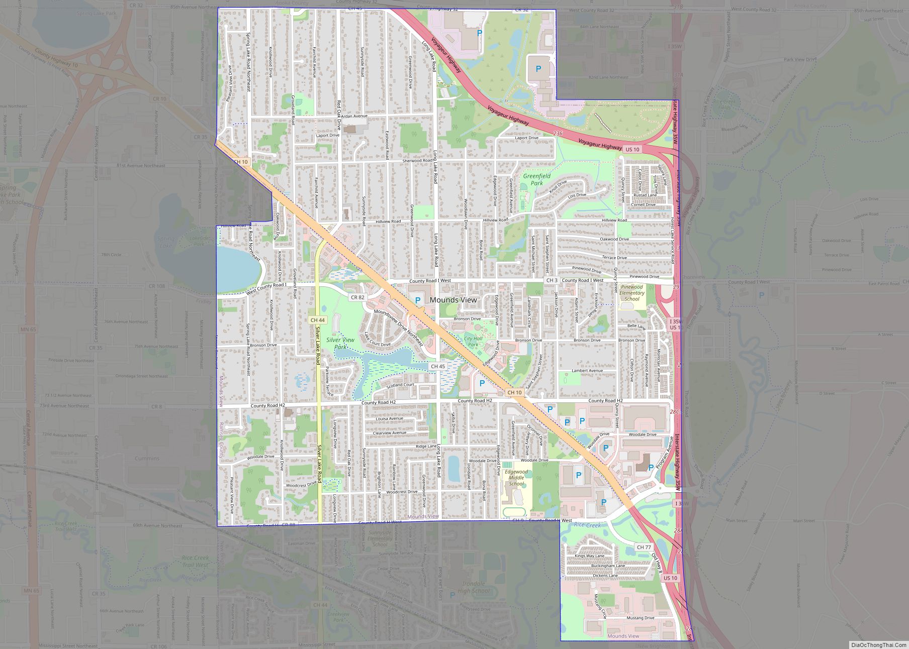
Shoreview Road Map
Shoreview city Satellite Map

Geography
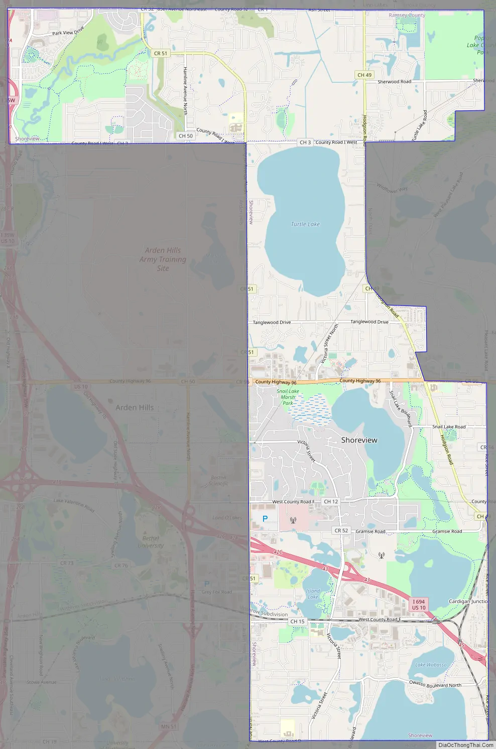
According to the United States Census Bureau, the city has a total area of 12.67 square miles (32.82 km), of which 10.77 square miles (27.89 km) is land and 1.90 square miles (4.92 km) is water.
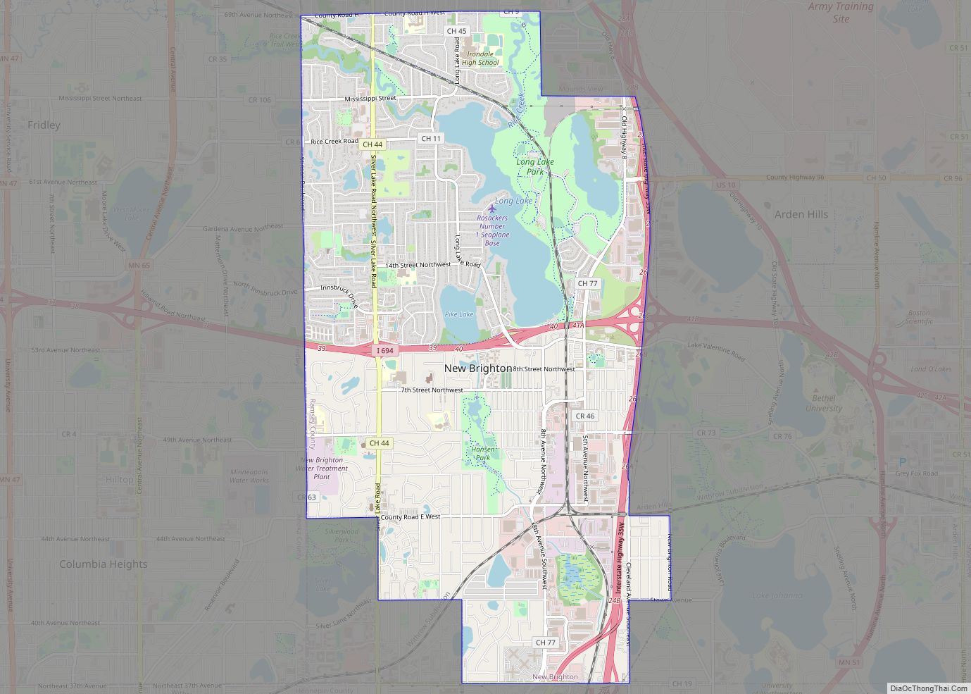
A second-ring suburb north of Saint Paul, Shoreview has nine city parks and three county parks. It has seven lakes, of which the largest are Turtle Lake, Snail Lake, Lake Owasso, and Island Lake, and Rice Creek flows through the northwest portion of the city.
Interstate 35W, Interstate 694, and County Highway 96 are three of its main routes.
See also
Map of Minnesota State and its subdivision:- Aitkin
- Anoka
- Becker
- Beltrami
- Benton
- Big Stone
- Blue Earth
- Brown
- Carlton
- Carver
- Cass
- Chippewa
- Chisago
- Clay
- Clearwater
- Cook
- Cottonwood
- Crow Wing
- Dakota
- Dodge
- Douglas
- Faribault
- Fillmore
- Freeborn
- Goodhue
- Grant
- Hennepin
- Houston
- Hubbard
- Isanti
- Itasca
- Jackson
- Kanabec
- Kandiyohi
- Kittson
- Koochiching
- Lac qui Parle
- Lake
- Lake of the Woods
- Lake Superior
- Le Sueur
- Lincoln
- Lyon
- Mahnomen
- Marshall
- Martin
- McLeod
- Meeker
- Mille Lacs
- Morrison
- Mower
- Murray
- Nicollet
- Nobles
- Norman
- Olmsted
- Otter Tail
- Pennington
- Pine
- Pipestone
- Polk
- Pope
- Ramsey
- Red Lake
- Redwood
- Renville
- Rice
- Rock
- Roseau
- Saint Louis
- Scott
- Sherburne
- Sibley
- Stearns
- Steele
- Stevens
- Swift
- Todd
- Traverse
- Wabasha
- Wadena
- Waseca
- Washington
- Watonwan
- Wilkin
- Winona
- Wright
- Yellow Medicine
- Alabama
- Alaska
- Arizona
- Arkansas
- California
- Colorado
- Connecticut
- Delaware
- District of Columbia
- Florida
- Georgia
- Hawaii
- Idaho
- Illinois
- Indiana
- Iowa
- Kansas
- Kentucky
- Louisiana
- Maine
- Maryland
- Massachusetts
- Michigan
- Minnesota
- Mississippi
- Missouri
- Montana
- Nebraska
- Nevada
- New Hampshire
- New Jersey
- New Mexico
- New York
- North Carolina
- North Dakota
- Ohio
- Oklahoma
- Oregon
- Pennsylvania
- Rhode Island
- South Carolina
- South Dakota
- Tennessee
- Texas
- Utah
- Vermont
- Virginia
- Washington
- West Virginia
- Wisconsin
- Wyoming