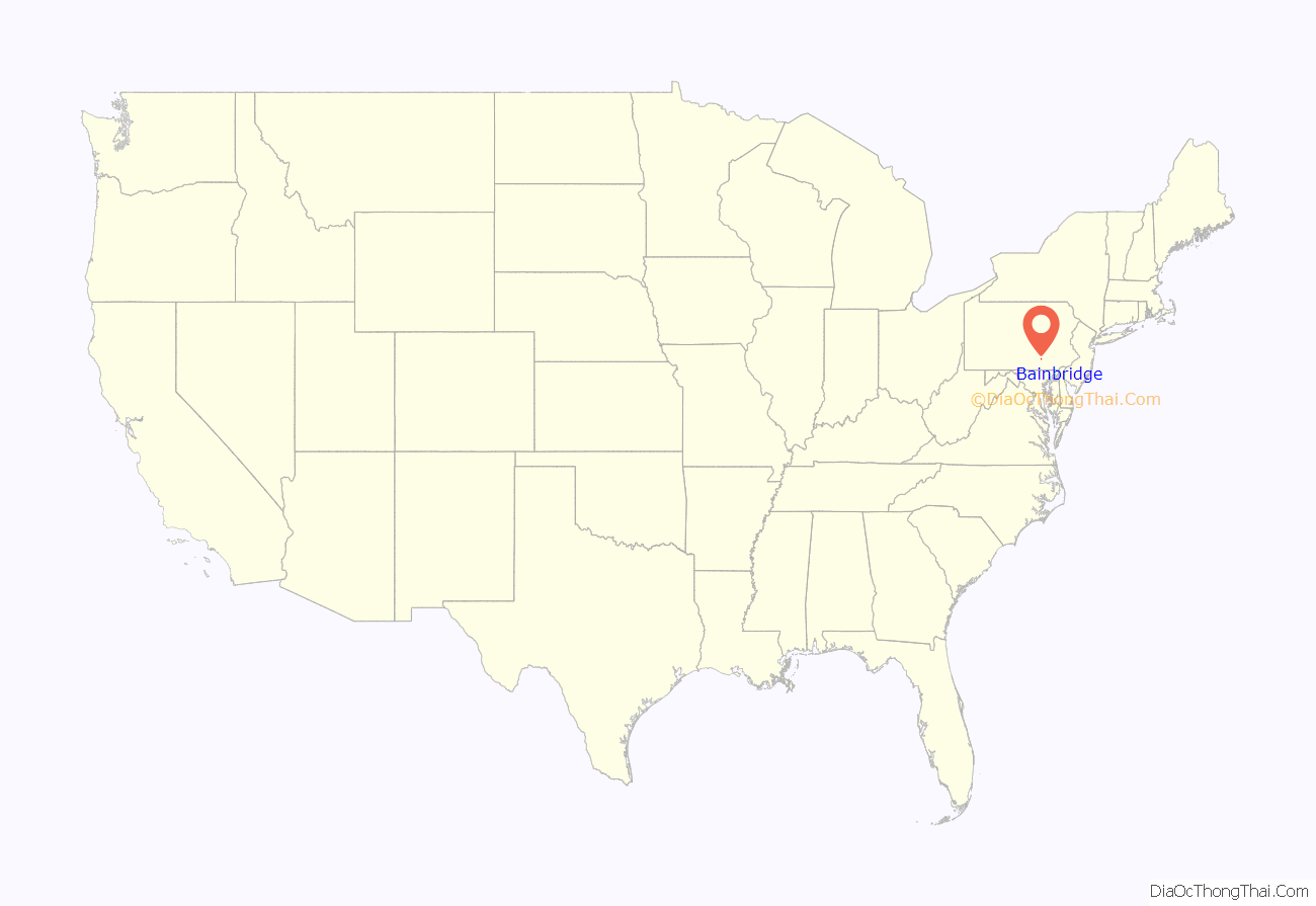
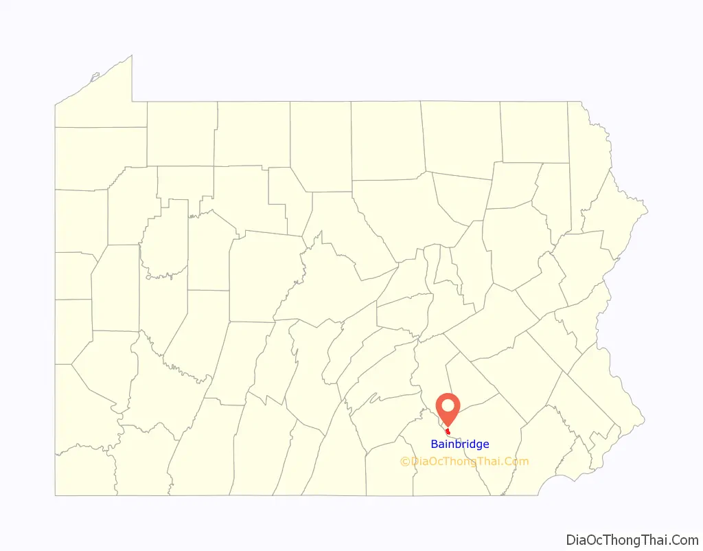
Bainbridge is an unincorporated community and census-designated place (CDP) in Conoy Township, Lancaster County, Pennsylvania, United States, with a ZIP code of 17502. Bainbridge is located along Pennsylvania Route 441. As of the 2010 census, the population was 1,355.
Before European settlement, Bainbridge was the site of a Conoy village in the first decades of the 18th century, possibly called Conejoholo.
| Name: | Bainbridge CDP |
|---|---|
| LSAD Code: | 57 |
| LSAD Description: | CDP (suffix) |
| State: | Pennsylvania |
| County: | Lancaster County |
| Elevation: | 310 ft (90 m) |
| Total Area: | 2.30 sq mi (5.96 km²) |
| Land Area: | 2.28 sq mi (5.91 km²) |
| Water Area: | 0.02 sq mi (0.05 km²) |
| Total Population: | 1,536 |
| Population Density: | 673.68/sq mi (260.08/km²) |
| ZIP code: | 17502 |
| FIPS code: | 4203800 |
| GNISfeature ID: | 1168585 |
Online Interactive Map
Click on ![]() to view map in "full screen" mode.
to view map in "full screen" mode.
Bainbridge location map. Where is Bainbridge CDP?
History
Bainbridge became home to the Conoy and Nanticoke tribes in the early 1700s when English settlers pushed them out of their original homes. Before the move, the Conoys lived in the area that is now Baltimore, and the Nanticokes lived across the Chesapeake Bay in what is now Delaware. In 1632, there were about 2,500 among the tribes, and by 1697 there were only about 300, due to diseases brought to America by the English.
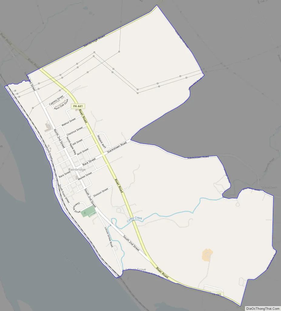
Bainbridge Road Map
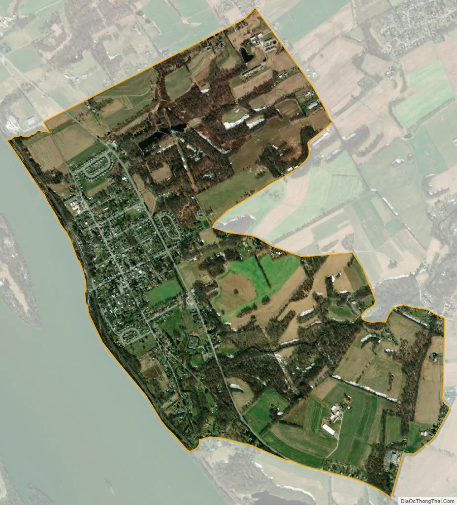
Bainbridge city Satellite Map
Geography
Bainbridge is in western Lancaster County, in the southern part of Conoy Township. Pennsylvania Route 441 passes through the community northeast of the downtown, leading northwest (upstream along the Susquehanna River) 9 miles (14 km) to Middletown and southeast (downstream) 10 miles (16 km) to Columbia.
According to the U.S. Census Bureau, the Bainbridge CDP has a total area of 2.3 square miles (6.0 km), of which 0.02 square miles (0.05 km), or 0.85%, are water.
See also
Map of Pennsylvania State and its subdivision:- Adams
- Allegheny
- Armstrong
- Beaver
- Bedford
- Berks
- Blair
- Bradford
- Bucks
- Butler
- Cambria
- Cameron
- Carbon
- Centre
- Chester
- Clarion
- Clearfield
- Clinton
- Columbia
- Crawford
- Cumberland
- Dauphin
- Delaware
- Elk
- Erie
- Fayette
- Forest
- Franklin
- Fulton
- Greene
- Huntingdon
- Indiana
- Jefferson
- Juniata
- Lackawanna
- Lancaster
- Lawrence
- Lebanon
- Lehigh
- Luzerne
- Lycoming
- Mc Kean
- Mercer
- Mifflin
- Monroe
- Montgomery
- Montour
- Northampton
- Northumberland
- Perry
- Philadelphia
- Pike
- Potter
- Schuylkill
- Snyder
- Somerset
- Sullivan
- Susquehanna
- Tioga
- Union
- Venango
- Warren
- Washington
- Wayne
- Westmoreland
- Wyoming
- York
- Alabama
- Alaska
- Arizona
- Arkansas
- California
- Colorado
- Connecticut
- Delaware
- District of Columbia
- Florida
- Georgia
- Hawaii
- Idaho
- Illinois
- Indiana
- Iowa
- Kansas
- Kentucky
- Louisiana
- Maine
- Maryland
- Massachusetts
- Michigan
- Minnesota
- Mississippi
- Missouri
- Montana
- Nebraska
- Nevada
- New Hampshire
- New Jersey
- New Mexico
- New York
- North Carolina
- North Dakota
- Ohio
- Oklahoma
- Oregon
- Pennsylvania
- Rhode Island
- South Carolina
- South Dakota
- Tennessee
- Texas
- Utah
- Vermont
- Virginia
- Washington
- West Virginia
- Wisconsin
- Wyoming


