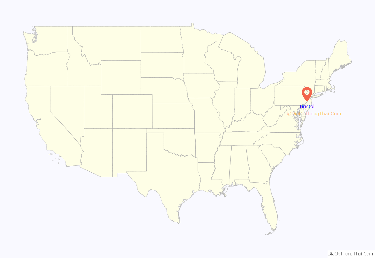
Bristol is a borough in Bucks County, Pennsylvania, United States. It is located 23 miles (37 km) northeast of Center City Philadelphia, opposite Burlington, New Jersey on the Delaware River. It antedates Philadelphia,being settled in 1681 and first incorporated in 1720. After 1834, it became very important to the development of the American Industrial Revolution as the terminus city of the Delaware Canal, providing greater Philadelphia with the day’s high tech anthracite fuels from the Lehigh Canal via Easton. The canal and a short trip on the Delaware also gave the town access to the mineral resources available in Connecticut, New Jersey and New York via each of the Morris Canal, the Delaware and Hudson Canal, and the Delaware and Raritan Canal, and connected the community to those markets and trade from New York City.
Although its charter was revised in 1905, the original charter remains in effect, making it the third-oldest borough in Pennsylvania after Chester and Germantown. It had 7,104 residents in 1900; 9,256 in 1910; 10,273 in 1920; and 11,895 in 1940. The most recent 2010 census showed its population at 9,726. Its current mayor is Joseph A. Saxton. It is served by SEPTA’s Trenton Line.
Bristol is located 70.9 miles (114.1 km) southeast of Allentown and 22.4 miles (36.0 km) northeast of Philadelphia.
| Name: | Bristol borough |
|---|---|
| LSAD Code: | 21 |
| LSAD Description: | borough (suffix) |
| State: | Pennsylvania |
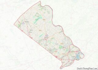
| County: | Bucks County |
| Elevation: | 20 ft (6 m) |
| Total Area: | 1.96 sq mi (5.07 km²) |
| Land Area: | 1.70 sq mi (4.40 km²) |
| Water Area: | 0.26 sq mi (0.67 km²) |
| Total Population: | 9,861 |
| Population Density: | 5,807.42/sq mi (2,242.41/km²) |
| ZIP code: | 19007 |
| FIPS code: | 4208760 |
| Website: | www.bristolborough.com |
Online Interactive Map
Click on ![]() to view map in "full screen" mode.
to view map in "full screen" mode.
Bristol location map. Where is Bristol borough?
History
Samuel Clift founded the Borough of Bristol, having received a land grant from Edmund Andros, Governor of New York. The grant became effective on March 14, 1681 (new style) or March 4, 1681 (old style) at the same time as William Penn’s Charter from Charles II became effective. Clift was required by the grant to maintain ferry service across the Delaware River to Burlington, New Jersey, and to run a public house or inn. The inn later became known as the George II.
Bristol Borough was settled in 1681, and named after Bristol, England. It was originally used as a port and dock. It is rich in history, with many historic and restored houses along the streets of Radcliffe and Mill.
In 1697, the Pennsylvania Provincial Council ordered that a town be laid out in the location. A petition was submitted by Joseph Bond, Anthony Burton, John Hall and William Wharton to the Council for incorporation, and was granted in 1702.
Until 1725, Bristol Borough served as county seat of Bucks County.
From its earliest days, it was a center of textile mills, foundries, milling, and miscellaneous manufacturing. With the building of the 60 miles (96.6 km) long, forty feet wide, and five feet deep Delaware Canal, it became a transshipment gateway connecting the anthracite barges floating down the Lehigh Canal’s end terminal at Easton to Philadelphia. Bristol Borough was chosen to terminate the Delaware Canal because it already had regular shipping connections to other parts of Philadelphia and Delaware River ports by both the era’s typical animal powered barges and coastal/inland shipping vessels. Its docks also had regular ferry services to New Jersey and other points east from as early as 1681 until 1931. Developed by John Fitch, Bristol was the home of the first steamboat ferry service taking up to 30 passengers bound for Philadelphia and other ports on the Delaware
In 1740, William Davis established a shipyard in Bristol, building small vessels such as schooners and sloops. One such vessel was the Morning Glory, noted as the fastest sailing craft on the Delaware. In 1800, John Reed acquired the shipyard.
The expense of digging the canal was justifiable as the banks of the Delaware southerly from Easton were less suitable, there was insufficient real estate for extensive additional docks, so the legislature figured the Delaware Canal avoided the need to transship barge loads of coal to boats, drastically saving costs and time. Since Bristol Borough’s long established docks were accessible to the Delaware River, the town also became the Delaware Canal’s southern (main distribution) terminal end. Consequently, later, the Pennsylvania Railroad would also connect to the anthracite flowing through the canals, to the riverine barge and boat traffic, and to provide rail depots servicing the manufacturies. Even before the canal, Bristol Borough was located along a main land route to New York City, Trenton, and New England so with construction of the canal and railroads, it became a major center of transportation and an even more attractive location for industry.
By the 1880s, Bristol Borough was home to many factories, including companies manufacturing wall paper and carpet. In World War I, the Bristol Borough docks had sufficient space for a shipyard to construct twelve building slips for the construction of merchant vessels. In 1917 Averell Harriman organized the Bristol Borough shipyards founding the Merchant Shipbuilding Corporation (later called Merchant-Sterling) and given the U-boat menace, would land a contract to build 40 identical cargo ships for the war. The residential area that developed around the shipyards was soon named Harriman, Pennsylvania, and most of the housing built therein is still in use today. In 1922 Harriman was annexed by Bristol Borough. Most of the shipping was finished too late to enter World War I, but some of the shipyard’s output was used post-war in relief and troop support missions. The majority of the contracts were canceled in 1919, and the ship yards rapidly became excess real estate. Between the world wars, the eighty-acres of the shipyard were let out to various concerns, including one area converted to building amphibious planes—the flying boats technology which was the heart and soul of long distance air travel until the technological advances theretofore the middle years of World War II. During World War II the old shipyards were used to build those and other airplanes, but most of the manufacturing in WW-II was not directly war related.
In 1961, Bristol Borough gained national attention when the song “Bristol Stomp”, by The Dovells hit #2 on the Billboard pop chart. The song remains a local favorite, and it is often played at ceremonies, parades, and sporting events. The Merchant Shipbuilding site returned to the news in the 1990s when the Bucks County Redevelopment Authority using state and federal funding targeted the area as a priority for urban redevelopment.
Given its riverfront location, the old shipbuilding site was ranked highest in priority, and on 20 October 2000 various legislators and officials held a press conference at the former shipyard heralding the construction of the residential development already under way, known as the ‘Riverfront North Project’, and publicizing how derelict portions of the slipways were being removed. The project also established a park with four monuments celebrating the town’s past in the redevelopment.
Today the preserved elements of the shipyard, and other buildings once important in Bristol Borough’s past service are enshrined and celebrated in the Bristol Historic District, Bristol Industrial Historic District, and tourism sites celebrating the town’s history and rich ethnic diversity. Various annual festivals, in particular keep a multi-ethnic cultural identity alive and well.
Historic sites in the town such as the Delaware Division of the Pennsylvania Canal, Dorrance Mansion, General Stores and Mold Loft Building-Harriman Yard of the Merchant Shipbuilding Corporation, Grundy Mill Complex, Harriman Historic District, Jefferson Avenue School and Jefferson Land Association Historic District are listed on the National Register of Historic Places. Delaware Division of the Pennsylvania Canal is also designated a National Historic Landmark District.
In March 2023, there was a chemical spill in the Delaware River, caused by an equipment failure at the Trinseo chemical plant in Bristol.
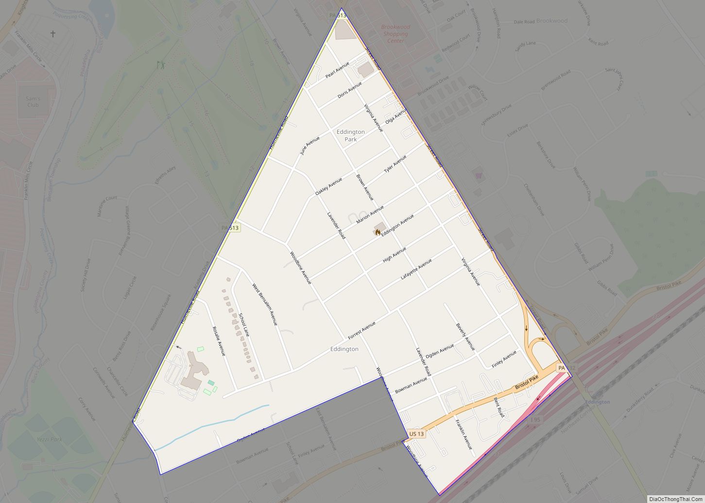
Bristol Road Map
Bristol city Satellite Map
Geography
Bristol Borough is located at 40°6′12″N 74°51′5″W / 40.10333°N 74.85139°W / 40.10333; -74.85139 (40.103382, -74.851448). According to the U.S. Census Bureau, the borough has a total area of 1.9 square miles (4.9 km), of which 1.6 square miles (4.1 km) is land and 0.2 square miles (0.52 km) (10.81%) is water.
See also
Map of Pennsylvania State and its subdivision:- Adams
- Allegheny
- Armstrong
- Beaver
- Bedford
- Berks
- Blair
- Bradford
- Bucks
- Butler
- Cambria
- Cameron
- Carbon
- Centre
- Chester
- Clarion
- Clearfield
- Clinton
- Columbia
- Crawford
- Cumberland
- Dauphin
- Delaware
- Elk
- Erie
- Fayette
- Forest
- Franklin
- Fulton
- Greene
- Huntingdon
- Indiana
- Jefferson
- Juniata
- Lackawanna
- Lancaster
- Lawrence
- Lebanon
- Lehigh
- Luzerne
- Lycoming
- Mc Kean
- Mercer
- Mifflin
- Monroe
- Montgomery
- Montour
- Northampton
- Northumberland
- Perry
- Philadelphia
- Pike
- Potter
- Schuylkill
- Snyder
- Somerset
- Sullivan
- Susquehanna
- Tioga
- Union
- Venango
- Warren
- Washington
- Wayne
- Westmoreland
- Wyoming
- York
- Alabama
- Alaska
- Arizona
- Arkansas
- California
- Colorado
- Connecticut
- Delaware
- District of Columbia
- Florida
- Georgia
- Hawaii
- Idaho
- Illinois
- Indiana
- Iowa
- Kansas
- Kentucky
- Louisiana
- Maine
- Maryland
- Massachusetts
- Michigan
- Minnesota
- Mississippi
- Missouri
- Montana
- Nebraska
- Nevada
- New Hampshire
- New Jersey
- New Mexico
- New York
- North Carolina
- North Dakota
- Ohio
- Oklahoma
- Oregon
- Pennsylvania
- Rhode Island
- South Carolina
- South Dakota
- Tennessee
- Texas
- Utah
- Vermont
- Virginia
- Washington
- West Virginia
- Wisconsin
- Wyoming
