Catasauqua, referred to colloquially as Catty, is a borough in Lehigh County, Pennsylvania. Catasauqua’s population was 6,518 at the 2020 census. It is a suburb of Allentown in the Lehigh Valley, which had a population of 861,899 and was the 68th-most populous metropolitan area in the U.S. as of the 2020 census.
In 1839, Catasauqua was the location of the first manufactured anthracite iron in the nation. The borough was settled in 1805 and chartered in 1853.
| Name: | Catasauqua borough |
|---|---|
| LSAD Code: | 21 |
| LSAD Description: | borough (suffix) |
| State: | Pennsylvania |
| County: | Lehigh County |
| Elevation: | 279 ft (85 m) |
| Land Area: | 1.29 sq mi (3.35 km²) |
| Water Area: | 0.04 sq mi (0.10 km²) |
| Population Density: | 5,044.89/sq mi (1,948.11/km²) |
| ZIP code: | 18032 |
| FIPS code: | 4211720 |
| Website: | www.catasauqua.org |
Online Interactive Map
Click on ![]() to view map in "full screen" mode.
to view map in "full screen" mode.
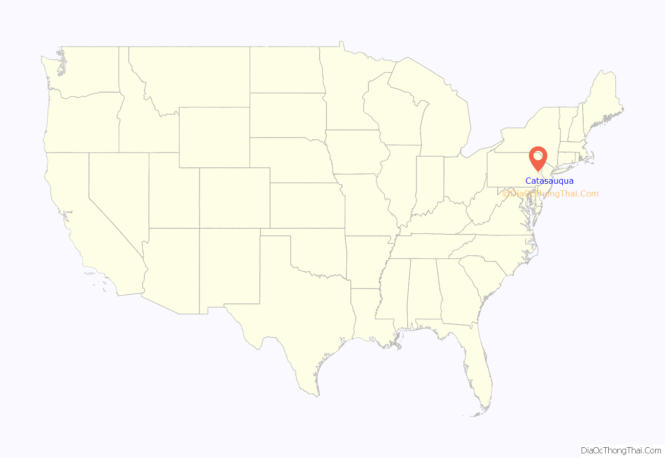
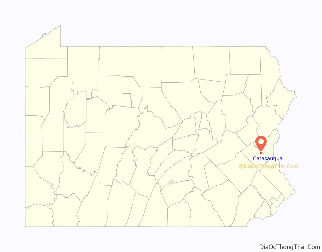
Catasauqua location map. Where is Catasauqua borough?
History
18th century
George Taylor, signer of the Declaration of Independence, built a Georgian stone house in 1768 in what is now the borough of Catasauqua. The George Taylor House has been named a National Historic Landmark, a showpiece of the community’s rich historical heritage.
19th century
In 1840, the anthracite iron industry was found in Biery’s Port in present-day Catasaqua, making Catasaqua a birthplace of the Industrial Revolution in the United States. Welsh immigrant David Thomas relocated to the area and opened the Crane Iron Works. Remembered as “the father of Catasauqua,” Thomas initially named the community Craneville after his former employer in Wales. The wealthy, generous Thomases were responsible for many sweeping changes to the prosperity of the community. David Thomas founded the Presbyterian Church of Catasauqua, in which residents still worship today, and his wife Elizabeth donated money and land to found the Welsh Congregational Church, which no longer exists. Thomas organized Catasauqua’s first fire company, installed its first public water system, and served as its first burgess.
In 1854, the town was formally titled Catasauqua (pronounced “Cat-uh-SAW-kwuh”), from the Lenni Lenape language, meaning “dry ground” or “thirsty ground.” By 1900, Catasauqua boasted 5,000 residents, and had the highest percentage of self-made millionaires of any town in the United States.
20th century
In 1917, while many of the young men of the town served in World War I, Catasauqua became the first community in the United States to raise $1 million in war bonds, earning it the nickname “The Million Dollar Town”.
21st century
Catasauqua observed its 150th anniversary of incorporation in 2004. In July 2014, the town also celebrated its 100th anniversary of the old home week celebration in 1914. The original old home week marked the 75th anniversary of the town’s Lehigh Crane Iron Company.
Catasauqua is home to two different neighborhoods listed on the National Register of Historic Places: Biery’s Port, located along the Lehigh River and named for an early family of prominence, and a neighborhood known as “the mansion district,” which includes Victorian homes once owned by wealthy Catasauqua residents.
Catasauqua Road Map
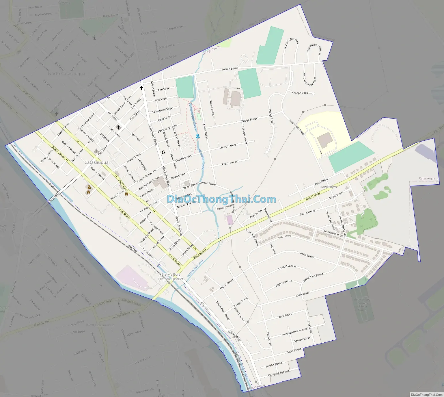
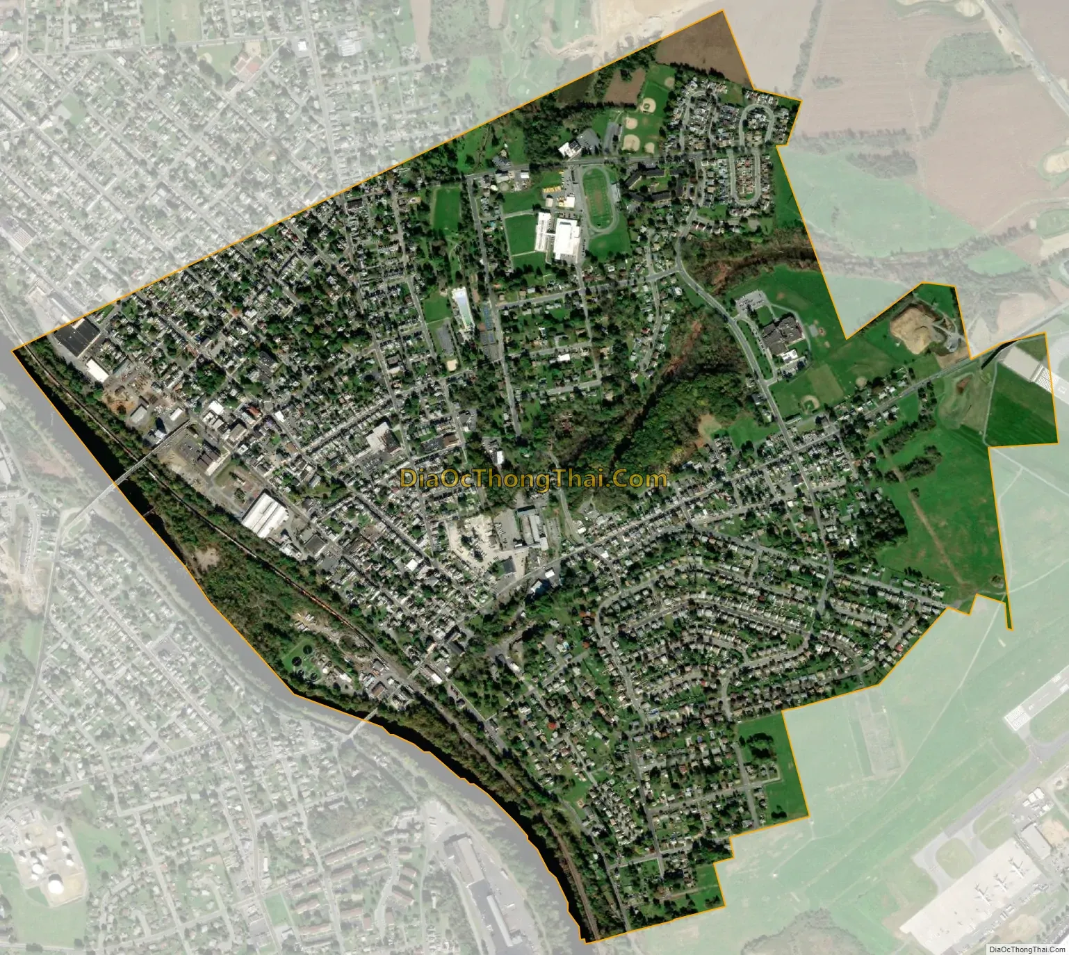
Catasauqua city Satellite Map
Geography
Catasauqua is located at 40°39′11″N 75°28′3″W / 40.65306°N 75.46750°W / 40.65306; -75.46750 (40.652995, -75.467627). Nearby large communities include Allentown three miles (5 km) to the south and Bethlehem seven miles (11 km) to the east. According to the U.S. Census Bureau, the borough has a total area of 1.3 square miles (3.4 km), of which 1.3 square miles (3.4 km) is land and 0.04 square mile (0.10 km or 2.31%) is water. Catasauqua Creek flows through the town. Lehigh River runs along the southwestern edge of Catasauqua.
Neighboring municipalities
- Hanover Township
- North Catasauqua
- Whitehall Township
- Northampton
- Allentown
- Allen Township
- Bethlehem
- Coplay
- Hokendauqua
See also
Map of Pennsylvania State and its subdivision:- Adams
- Allegheny
- Armstrong
- Beaver
- Bedford
- Berks
- Blair
- Bradford
- Bucks
- Butler
- Cambria
- Cameron
- Carbon
- Centre
- Chester
- Clarion
- Clearfield
- Clinton
- Columbia
- Crawford
- Cumberland
- Dauphin
- Delaware
- Elk
- Erie
- Fayette
- Forest
- Franklin
- Fulton
- Greene
- Huntingdon
- Indiana
- Jefferson
- Juniata
- Lackawanna
- Lancaster
- Lawrence
- Lebanon
- Lehigh
- Luzerne
- Lycoming
- Mc Kean
- Mercer
- Mifflin
- Monroe
- Montgomery
- Montour
- Northampton
- Northumberland
- Perry
- Philadelphia
- Pike
- Potter
- Schuylkill
- Snyder
- Somerset
- Sullivan
- Susquehanna
- Tioga
- Union
- Venango
- Warren
- Washington
- Wayne
- Westmoreland
- Wyoming
- York
- Alabama
- Alaska
- Arizona
- Arkansas
- California
- Colorado
- Connecticut
- Delaware
- District of Columbia
- Florida
- Georgia
- Hawaii
- Idaho
- Illinois
- Indiana
- Iowa
- Kansas
- Kentucky
- Louisiana
- Maine
- Maryland
- Massachusetts
- Michigan
- Minnesota
- Mississippi
- Missouri
- Montana
- Nebraska
- Nevada
- New Hampshire
- New Jersey
- New Mexico
- New York
- North Carolina
- North Dakota
- Ohio
- Oklahoma
- Oregon
- Pennsylvania
- Rhode Island
- South Carolina
- South Dakota
- Tennessee
- Texas
- Utah
- Vermont
- Virginia
- Washington
- West Virginia
- Wisconsin
- Wyoming