Gap is a census-designated place (CDP) and unincorporated community in Salisbury Township, Lancaster County, Pennsylvania, United States, with a ZIP code of 17527. The population was 1,931 at the 2010 census. U.S. Route 30 passes through the town, which is also the terminus for four Pennsylvania highways: 772, 741, 897, and the heavily used 41, which leads toward Wilmington, Delaware.
Gap lies approximately 16 miles (26 km) east of Lancaster and 49 miles (79 km) west of Philadelphia.
| Name: | Gap CDP |
|---|---|
| LSAD Code: | 57 |
| LSAD Description: | CDP (suffix) |
| State: | Pennsylvania |
| County: | Lancaster County |
| Elevation: | 545 ft (166 m) |
| Total Area: | 2.91 sq mi (7.52 km²) |
| Land Area: | 2.90 sq mi (7.52 km²) |
| Water Area: | 0.00 sq mi (0.01 km²) |
| Total Population: | 2,186 |
| Population Density: | 753.27/sq mi (290.88/km²) |
| ZIP code: | 17527 |
| Area code: | 717 |
| FIPS code: | 4228376 |
| GNISfeature ID: | 1175420 |
Online Interactive Map
Click on ![]() to view map in "full screen" mode.
to view map in "full screen" mode.
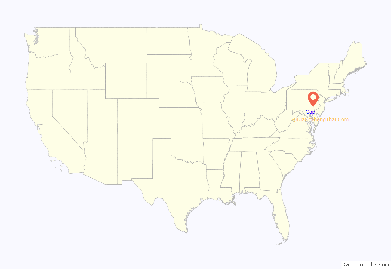
Gap location map. Where is Gap CDP?
History
Gap was named for its location at a low pass through Mine Ridge. Gap has a history which can be dated as far back as William Penn’s first visits to the area. Isaac Taylor erected the first house in what would become Gap in 1747. The area around Gap had a copper mine and what at the time were the only nickel mines in the United States.
From 1792, the Rising Sun Tavern stood on the Philadelphia–Lancaster Pike (which is now U.S. Route 30) and had a small village with blacksmith shop. Most of the buildings stood until circa 2020–2021, when they were removed for redevelopment; the site now contains a large convenience store and gas station. Although there was interest among locals to preserve the buildings, the real estate was valuable commercial frontage and funding for preservation was not available.
A stretch of railroad line was laid through the pass in the 19th century. Today the same railroad right-of-way carries Amtrak trains on the Keystone service.
In the mid-19th century there was a group of men known as “The Gap Gang”. They would engage in raids and robberies of citizens traveling the Lancaster Philadelphia Turnpike. They were notorious for kidnapping free blacks and escaped slaves and selling them to slave traders in Maryland, Delaware, and Virginia. The Gap Gang were most noted for their involvement in the Christiana Riot.
Nearby to the west, and traditionally closely associated with Gap, is White Chimneys, a country estate that began as a Church Dutch family farm much like any other in the area but eventually became known for wealth because it was the home of the Slaymaker family, who owned the Slaymaker Lock Company of Lancaster City.
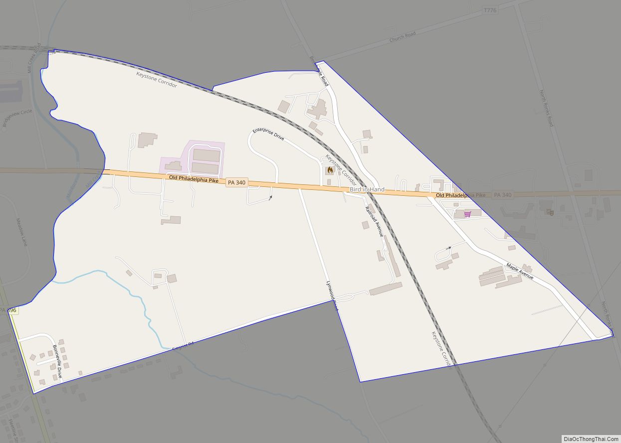
Gap Road Map
Gap city Satellite Map
Geography
Gap is in eastern Lancaster County, in the southern part of Salisbury Township. A small portion of the community extends south into Sadsbury Township. The gap for which the community is named is at an elevation of 580 feet (180 m) above sea level, between Mine Ridge to the west and Gap Hill to the east, both ridges rising to about 750 feet (230 m) above sea level. The community occupies the center of the gap and extends northward downslope into Salisbury Township.
According to the United States Census Bureau, the CDP has a total area of 2.8 square miles (7.3 km), of which 2.0 acres (7,943 m), or 0.11%, are water. The gap separates the watersheds of two tributaries of the Susquehanna River. To the north, streams flow to Pequea Creek, which flows west to the Susquehanna at Pequea. To the south, water flows to the East Branch of Octoraro Creek, reaching the Susquehanna just south of Conowingo Dam in Maryland.
See also
Map of Pennsylvania State and its subdivision:- Adams
- Allegheny
- Armstrong
- Beaver
- Bedford
- Berks
- Blair
- Bradford
- Bucks
- Butler
- Cambria
- Cameron
- Carbon
- Centre
- Chester
- Clarion
- Clearfield
- Clinton
- Columbia
- Crawford
- Cumberland
- Dauphin
- Delaware
- Elk
- Erie
- Fayette
- Forest
- Franklin
- Fulton
- Greene
- Huntingdon
- Indiana
- Jefferson
- Juniata
- Lackawanna
- Lancaster
- Lawrence
- Lebanon
- Lehigh
- Luzerne
- Lycoming
- Mc Kean
- Mercer
- Mifflin
- Monroe
- Montgomery
- Montour
- Northampton
- Northumberland
- Perry
- Philadelphia
- Pike
- Potter
- Schuylkill
- Snyder
- Somerset
- Sullivan
- Susquehanna
- Tioga
- Union
- Venango
- Warren
- Washington
- Wayne
- Westmoreland
- Wyoming
- York
- Alabama
- Alaska
- Arizona
- Arkansas
- California
- Colorado
- Connecticut
- Delaware
- District of Columbia
- Florida
- Georgia
- Hawaii
- Idaho
- Illinois
- Indiana
- Iowa
- Kansas
- Kentucky
- Louisiana
- Maine
- Maryland
- Massachusetts
- Michigan
- Minnesota
- Mississippi
- Missouri
- Montana
- Nebraska
- Nevada
- New Hampshire
- New Jersey
- New Mexico
- New York
- North Carolina
- North Dakota
- Ohio
- Oklahoma
- Oregon
- Pennsylvania
- Rhode Island
- South Carolina
- South Dakota
- Tennessee
- Texas
- Utah
- Vermont
- Virginia
- Washington
- West Virginia
- Wisconsin
- Wyoming
