East Petersburg is a borough in Lancaster County, Pennsylvania, United States. The population was 4,591 at the 2020 census.
| Name: | East Petersburg borough |
|---|---|
| LSAD Code: | 21 |
| LSAD Description: | borough (suffix) |
| State: | Pennsylvania |
| County: | Lancaster County |
| Elevation: | 374 ft (114 m) |
| Total Area: | 1.21 sq mi (3.13 km²) |
| Land Area: | 1.21 sq mi (3.13 km²) |
| Water Area: | 0.00 sq mi (0.00 km²) |
| Total Population: | 4,573 |
| Population Density: | 3,785.60/sq mi (1,461.79/km²) |
| ZIP code: | 17520 |
| Area code: | 717 |
| FIPS code: | 4221688 |
| Website: | www.eastpetersburgborough.org |
Online Interactive Map
Click on ![]() to view map in "full screen" mode.
to view map in "full screen" mode.
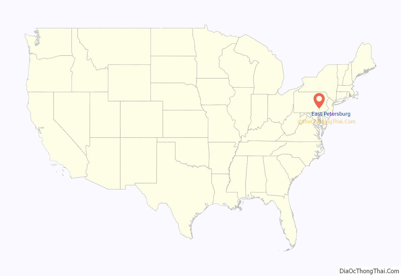
East Petersburg location map. Where is East Petersburg borough?

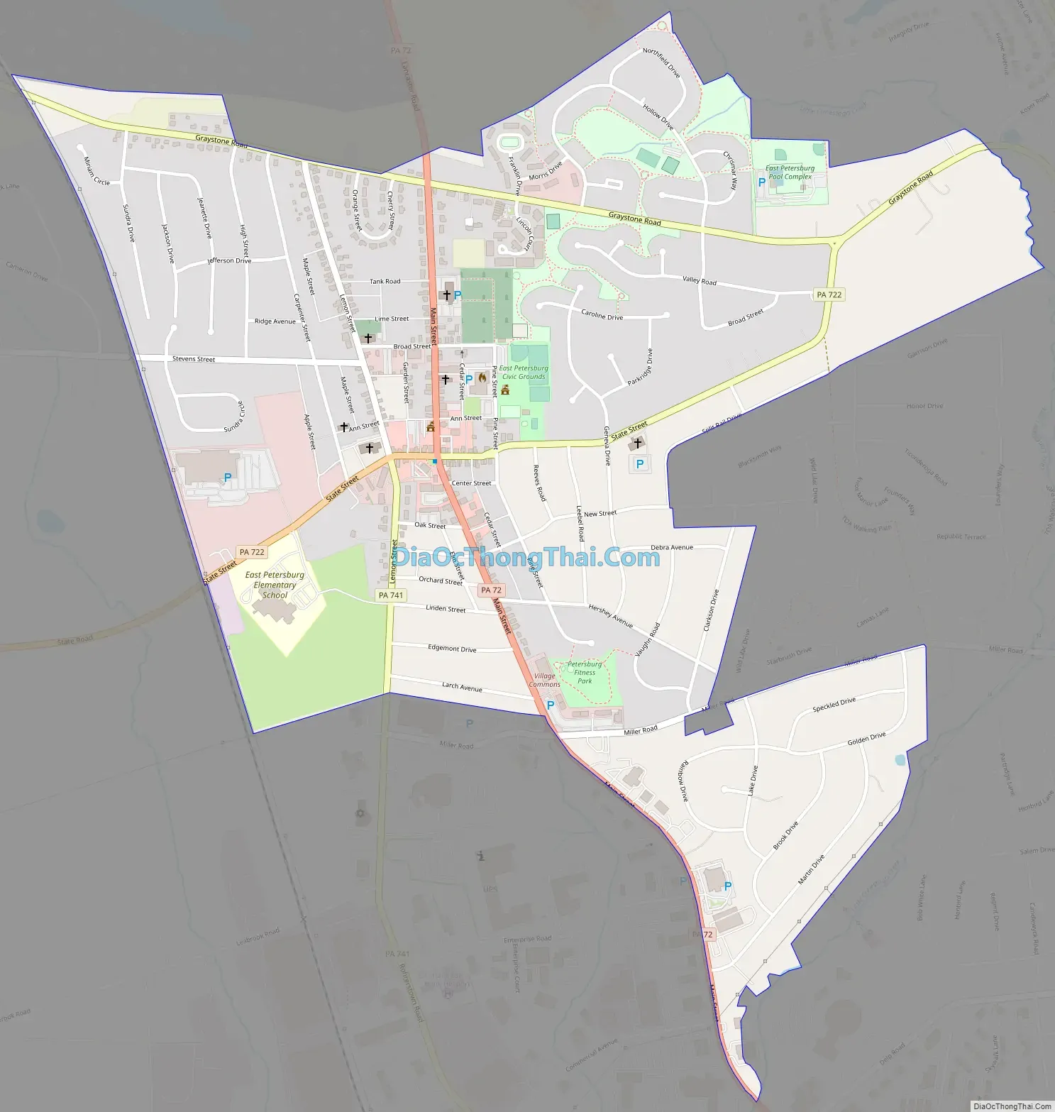
East Petersburg Road Map
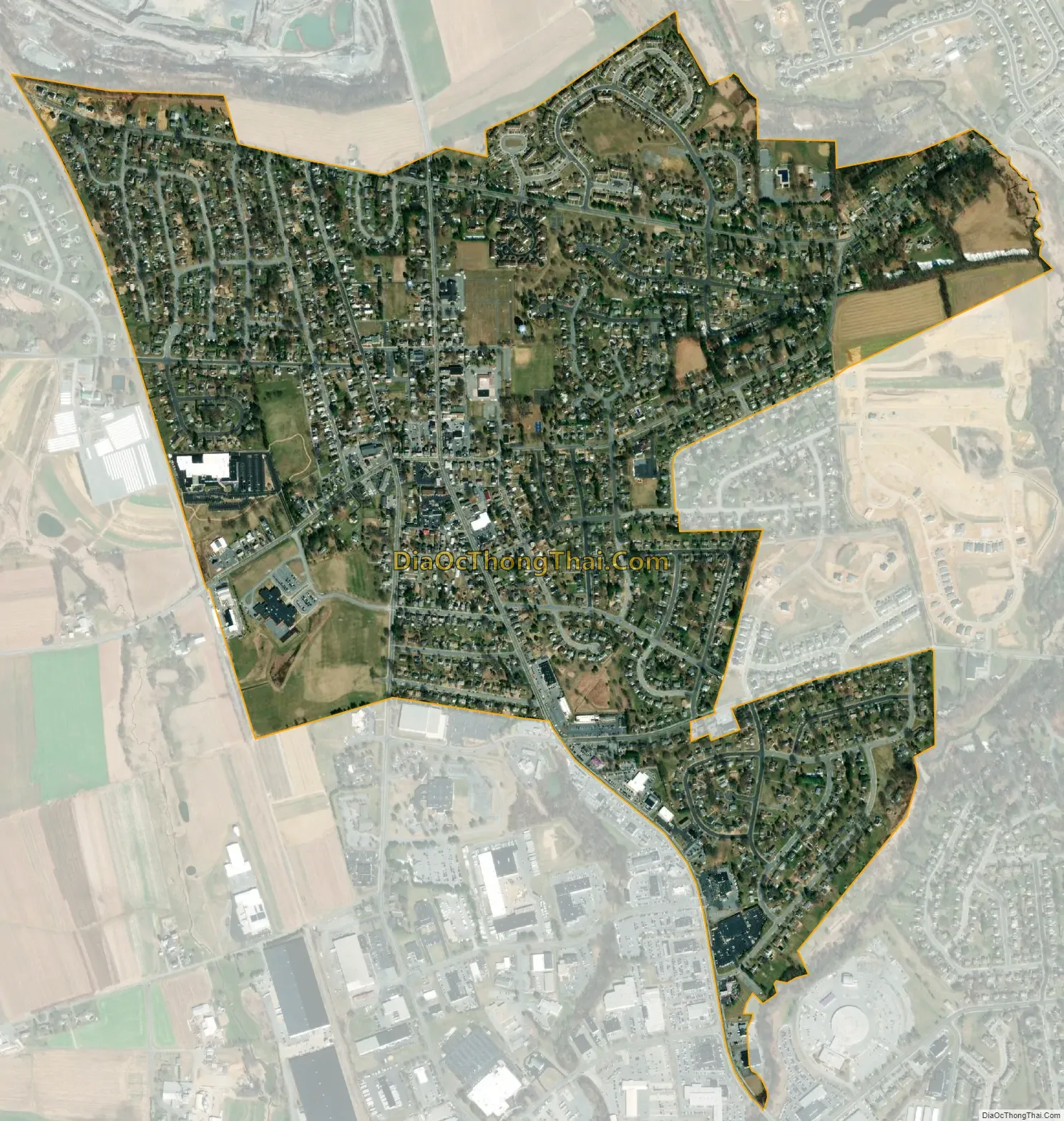
East Petersburg city Satellite Map
Geography
East Petersburg is located in north-central Lancaster County at 40°6′0″N 76°21′10″W / 40.10000°N 76.35278°W / 40.10000; -76.35278 (40.100079, -76.352649). Pennsylvania Route 72 is the borough’s Main Street, leading northwest 5 miles (8 km) to Manheim and southeast the same distance to the center of Lancaster. Pennsylvania Route 722 (State Street) crosses Main Street in the center of town, and leads east 3 miles (5 km) to Neffsville and southwest 1.8 miles (2.9 km) to an interchange with the Pennsylvania Route 283 freeway.
According to the United States Census Bureau, the borough has a total area of 1.2 square miles (3.1 km), all land.
See also
Map of Pennsylvania State and its subdivision:- Adams
- Allegheny
- Armstrong
- Beaver
- Bedford
- Berks
- Blair
- Bradford
- Bucks
- Butler
- Cambria
- Cameron
- Carbon
- Centre
- Chester
- Clarion
- Clearfield
- Clinton
- Columbia
- Crawford
- Cumberland
- Dauphin
- Delaware
- Elk
- Erie
- Fayette
- Forest
- Franklin
- Fulton
- Greene
- Huntingdon
- Indiana
- Jefferson
- Juniata
- Lackawanna
- Lancaster
- Lawrence
- Lebanon
- Lehigh
- Luzerne
- Lycoming
- Mc Kean
- Mercer
- Mifflin
- Monroe
- Montgomery
- Montour
- Northampton
- Northumberland
- Perry
- Philadelphia
- Pike
- Potter
- Schuylkill
- Snyder
- Somerset
- Sullivan
- Susquehanna
- Tioga
- Union
- Venango
- Warren
- Washington
- Wayne
- Westmoreland
- Wyoming
- York
- Alabama
- Alaska
- Arizona
- Arkansas
- California
- Colorado
- Connecticut
- Delaware
- District of Columbia
- Florida
- Georgia
- Hawaii
- Idaho
- Illinois
- Indiana
- Iowa
- Kansas
- Kentucky
- Louisiana
- Maine
- Maryland
- Massachusetts
- Michigan
- Minnesota
- Mississippi
- Missouri
- Montana
- Nebraska
- Nevada
- New Hampshire
- New Jersey
- New Mexico
- New York
- North Carolina
- North Dakota
- Ohio
- Oklahoma
- Oregon
- Pennsylvania
- Rhode Island
- South Carolina
- South Dakota
- Tennessee
- Texas
- Utah
- Vermont
- Virginia
- Washington
- West Virginia
- Wisconsin
- Wyoming


